Day 50, The Western Terminus

Today is the last day of this adventure. The cafe opens at 7:00, so I begin packing up at about 6:15.

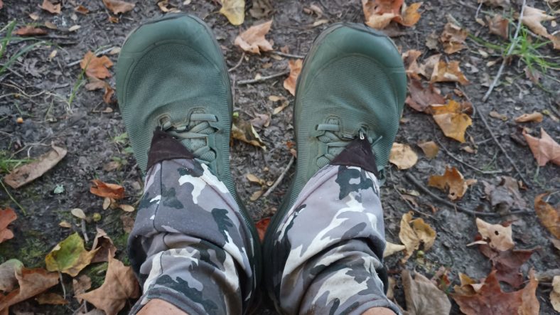
It has remained cool and breezy all night long and it is very refreshing this morning. The dirty clothes that I have to put back on are not cold and wet for a change.

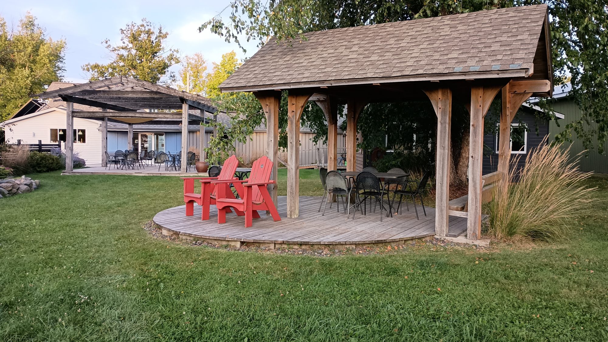
I am packed up and ready to go about 10 minutes before 7:00, so I head over to the other gazebo where I begin topping off the charge on my phone. One of the cafe workers peeps her head out the window and says that I can come in anytime.

All of the pastries look amazing, so it takes a lot of restraint to only order a cinnamon bun and a breakfast sandwich. The breakfast sandwich is very good but the cinnamon roll is amazing. It is flaky like a croissant. I’m still not completely full so I order another sandwich and buy some of the yesterday’s items that are wrapped in cellophane and on sale. This will make a great Trail lunch.

I head out and I’m back on the rail trail by 7:15. The morning is wonderful and cool. There is a grocery store in the Dollar General on the other side of town so I plan on hitting the grocery store to see what I can find to pack out for lunch.

While the grocery store has a pretty good selection, there is nothing suitable for lunch. Everything they have is in large quantities and I just want something simple like a sandwich to carry out. I will head over to Dollar General where I know I can buy single serving items. And the items I buy are very simple – a can of spaghetti and a bottle of Dunkin donuts coffee.

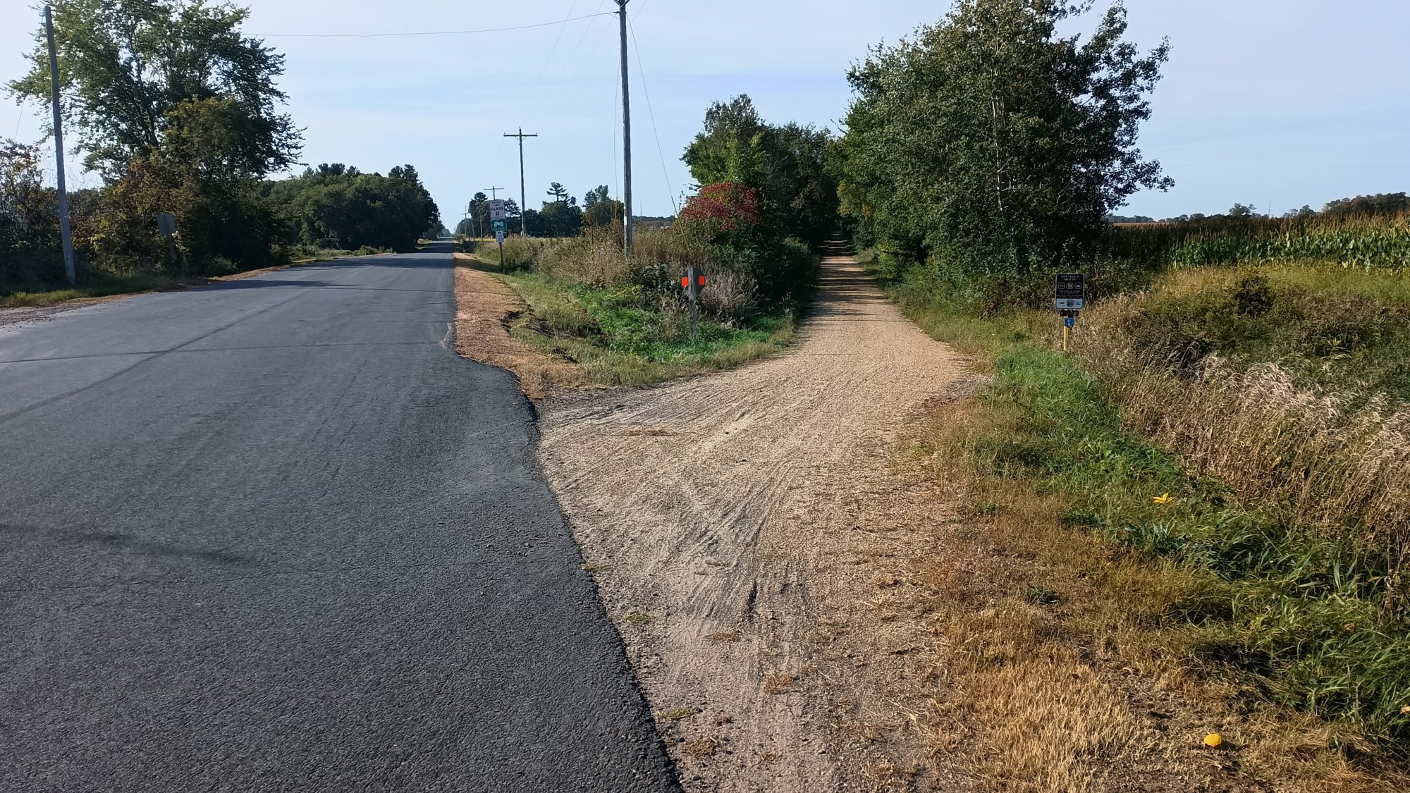
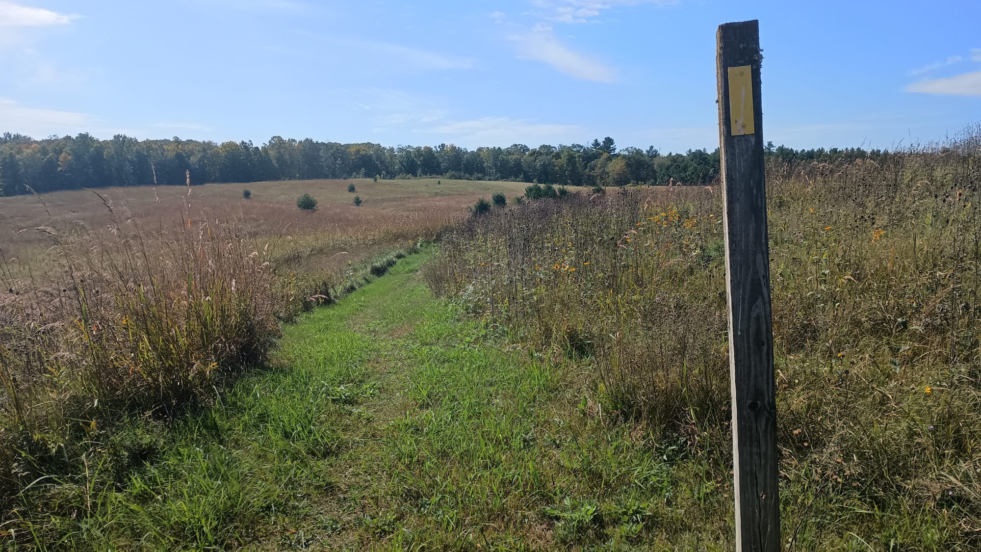
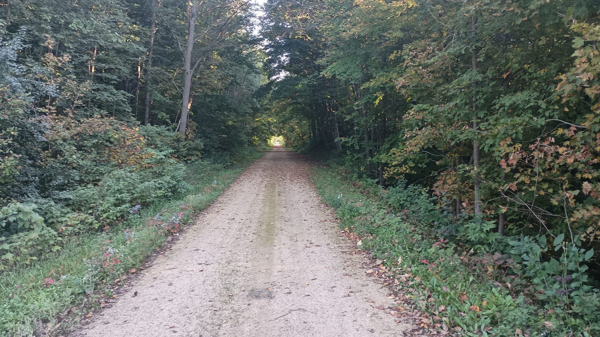
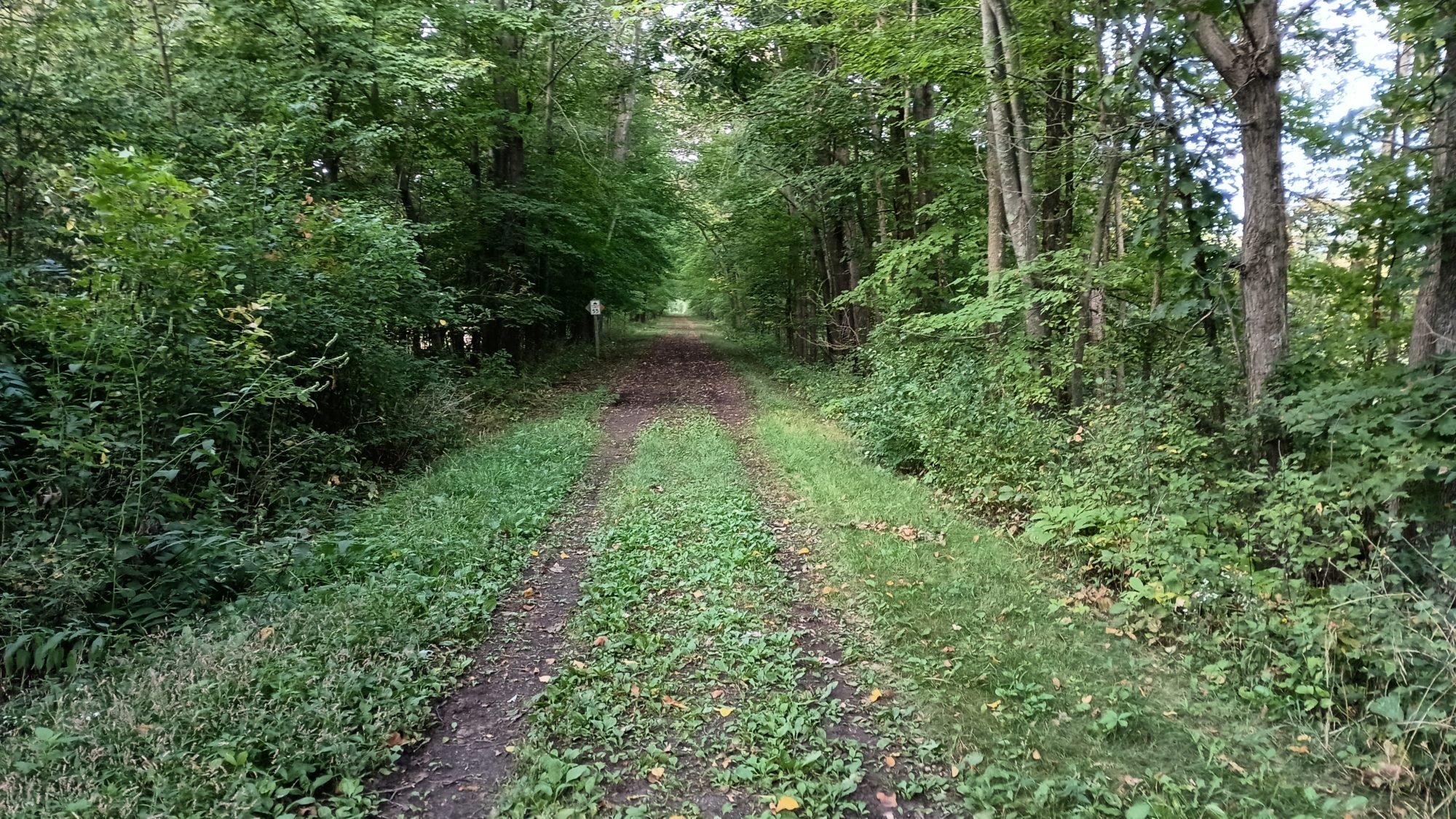
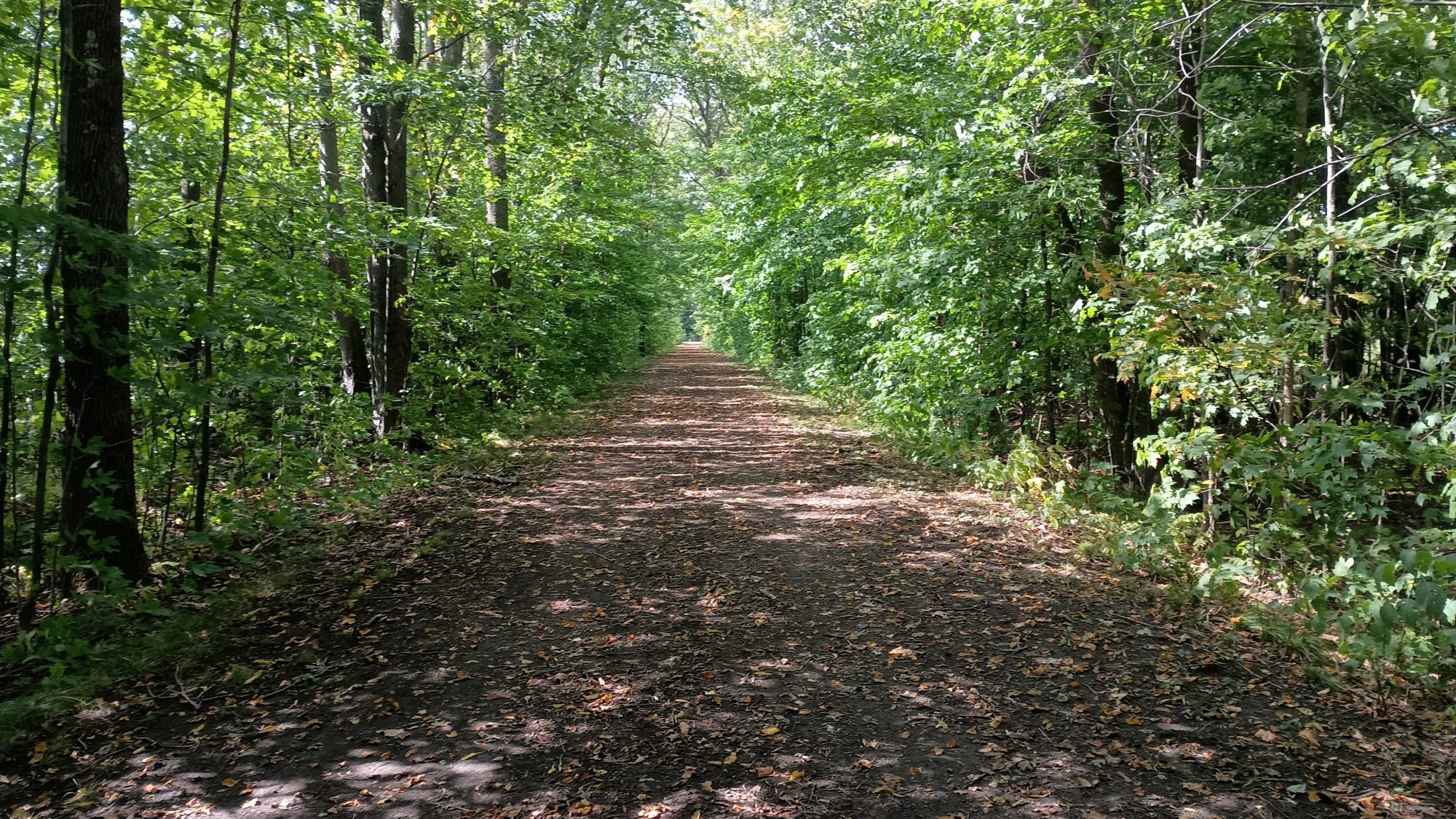
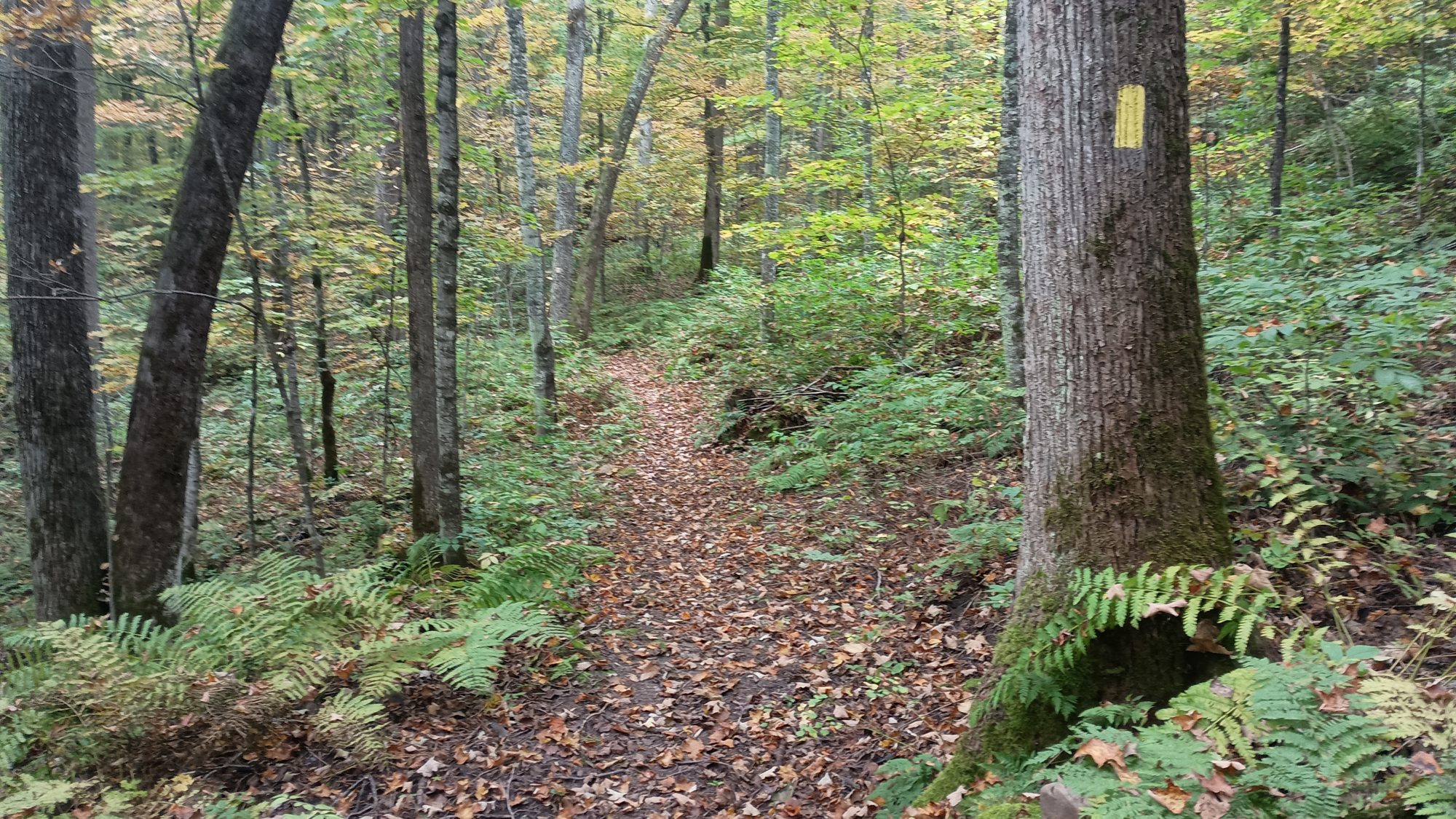
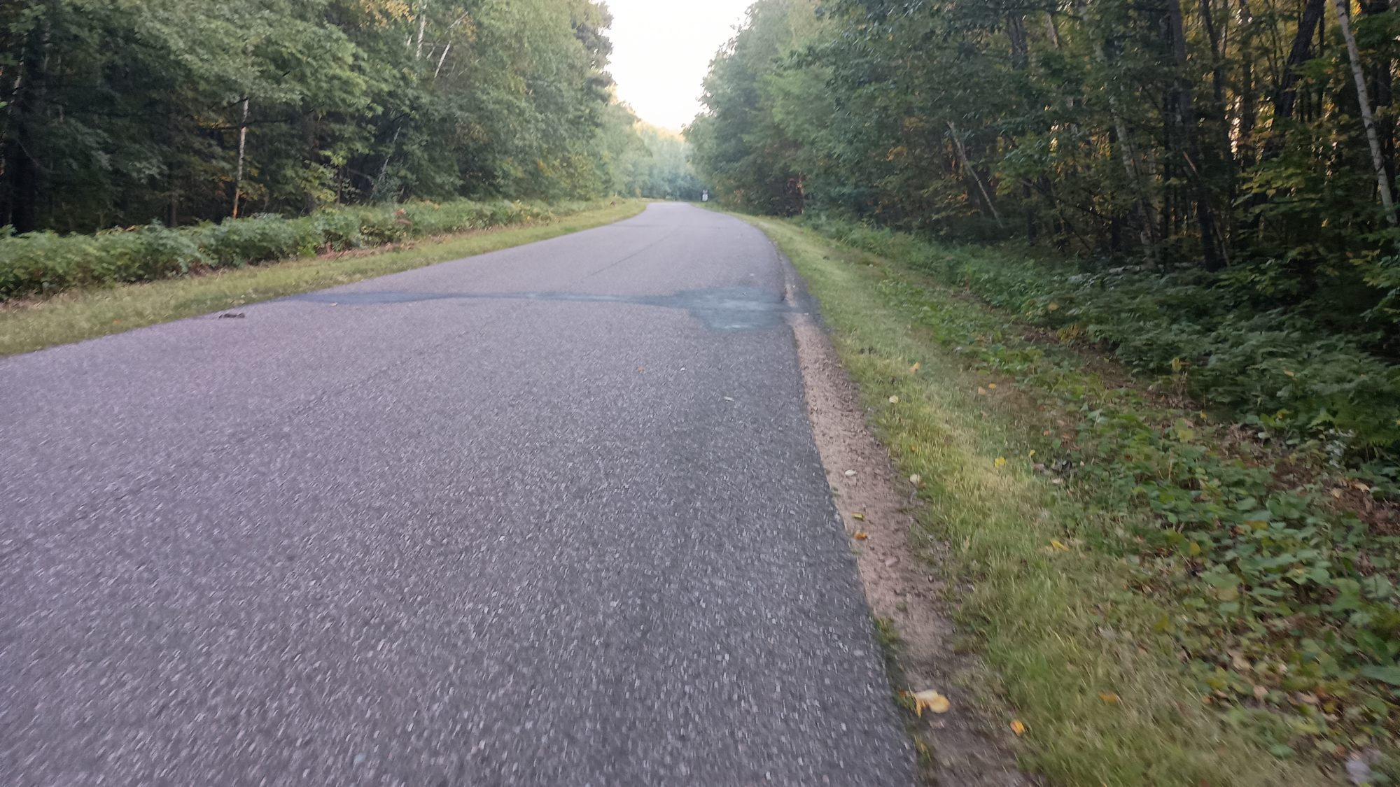
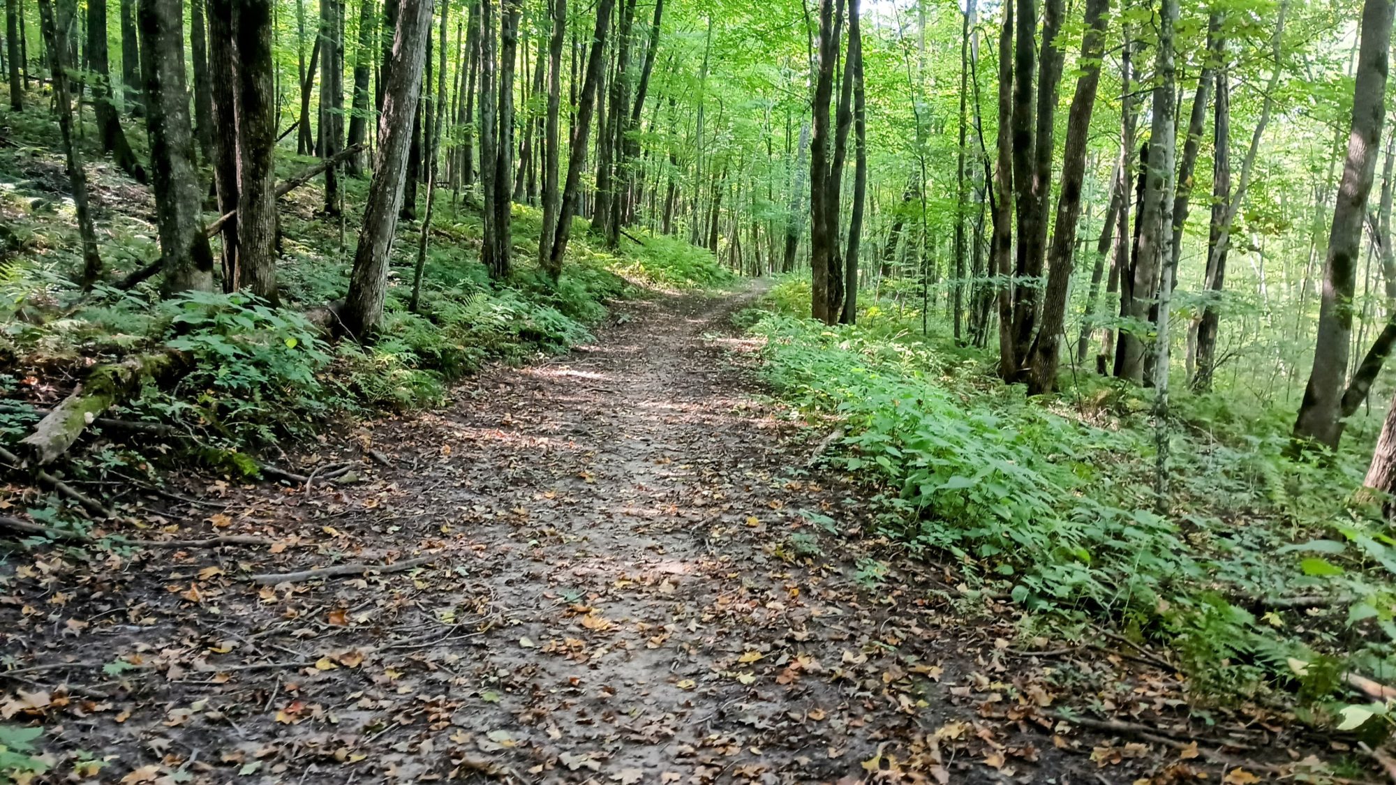
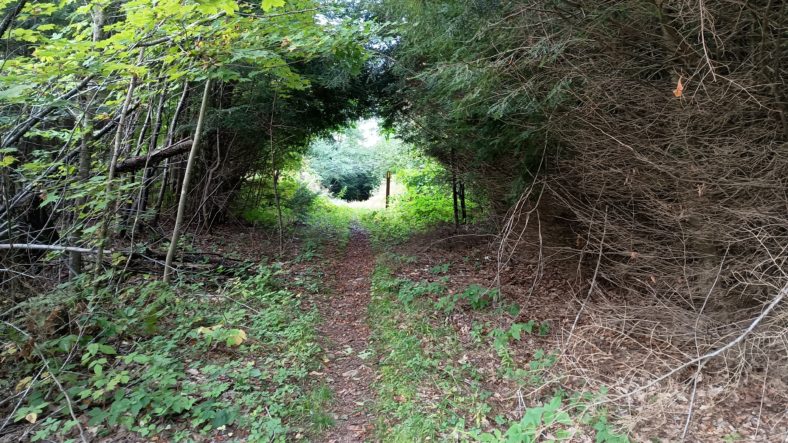
With all the detours, I don’t leave the town of Luck until a little after 8:00. The next town I pass through will be Milltown but it will still be early in the morning. It is still cool and breezy and the trail is crushed rock which is well compacted and very easy to walk on.

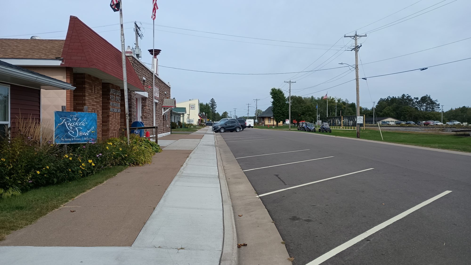
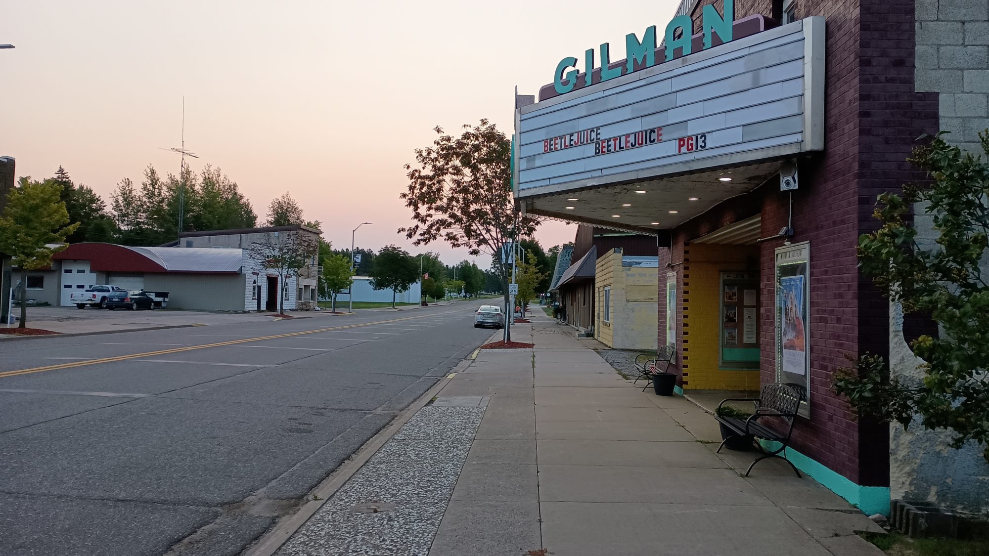
The next town is called Centuria. There is only one restaurant in town that is open and is called 5 J’s. It is now 11:30 so I might as well stop and get a real lunch. It is your typical bar and grill and there is one other customer inside.

The menu is pretty small so I order a hamburger and a Coca-Cola. It takes nearly an hour to get the hamburger cooked and eaten and I don’t leave the bar until nearly 12:30. This is been a very costly one hour break. But I still have plenty of time and should still finish well before dark.

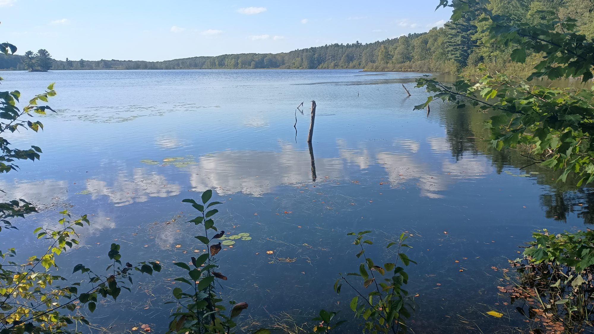
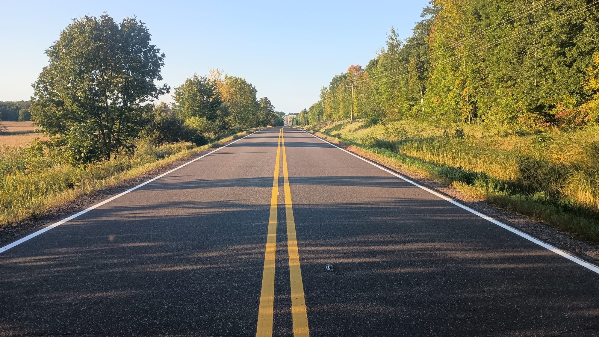
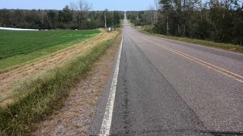
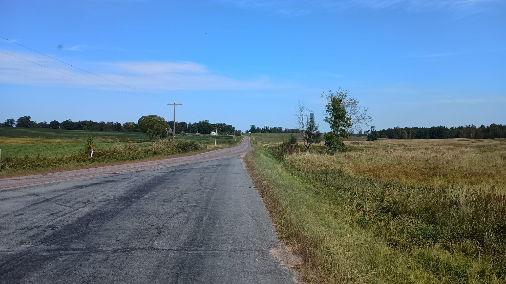
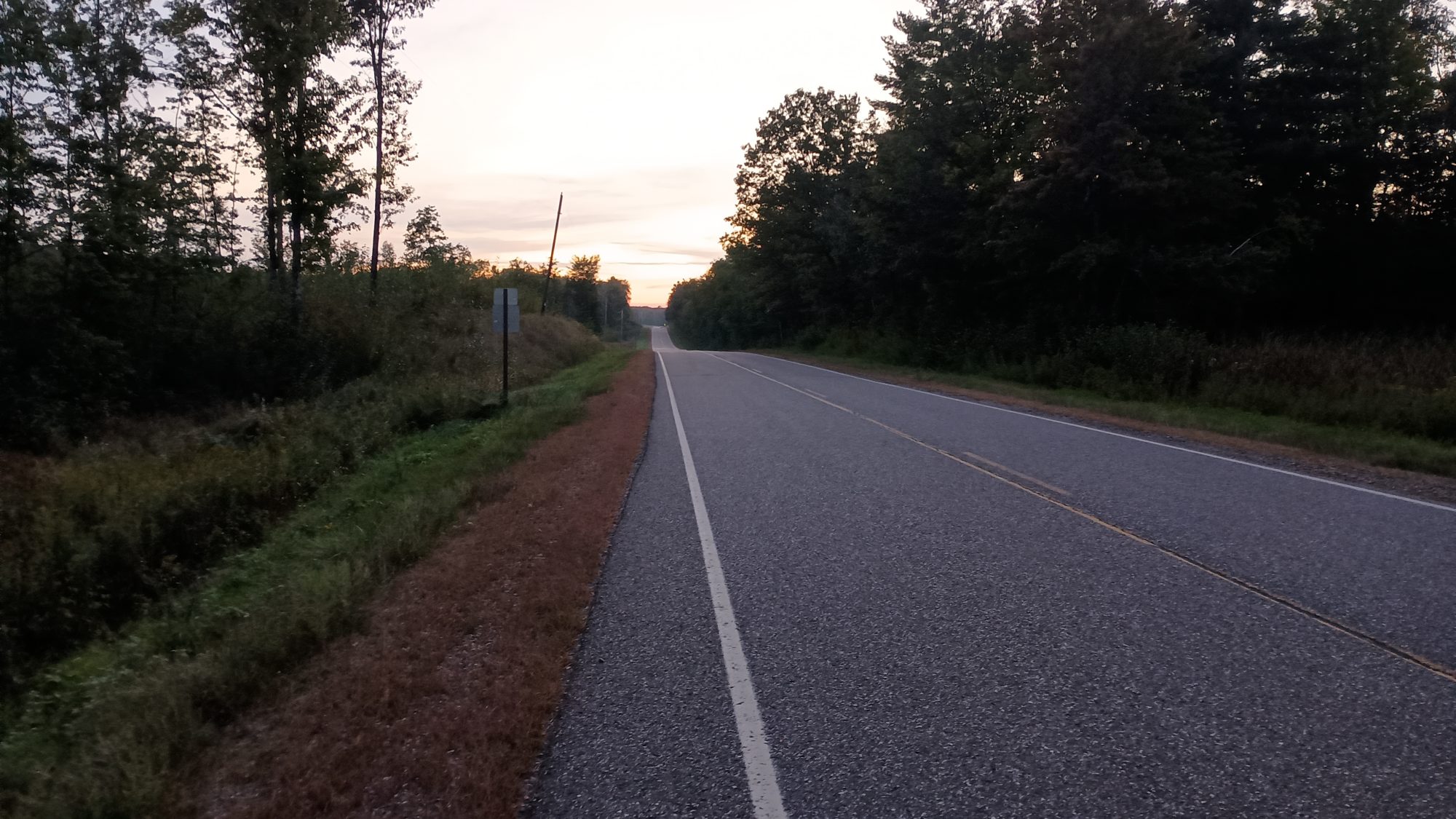
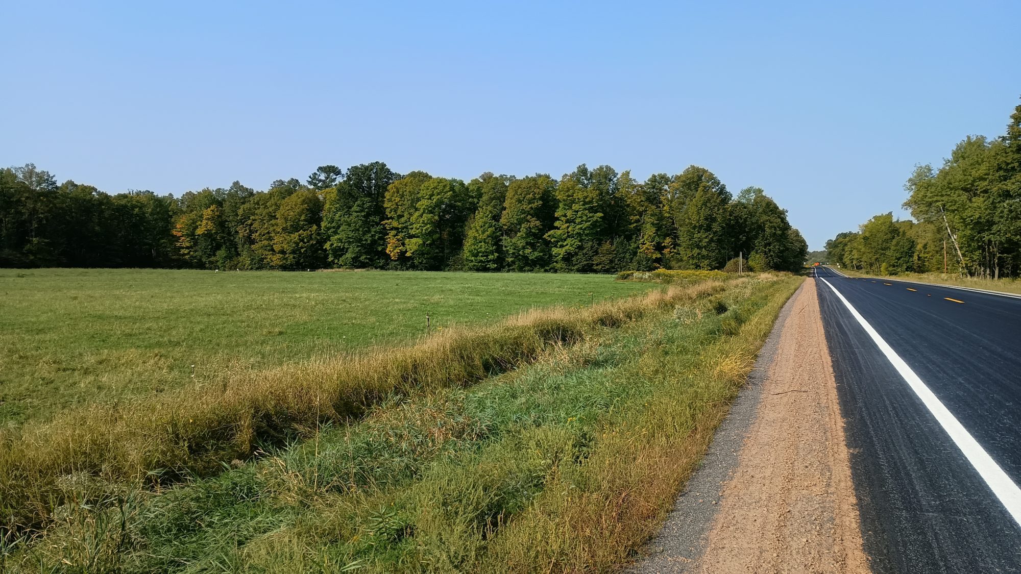
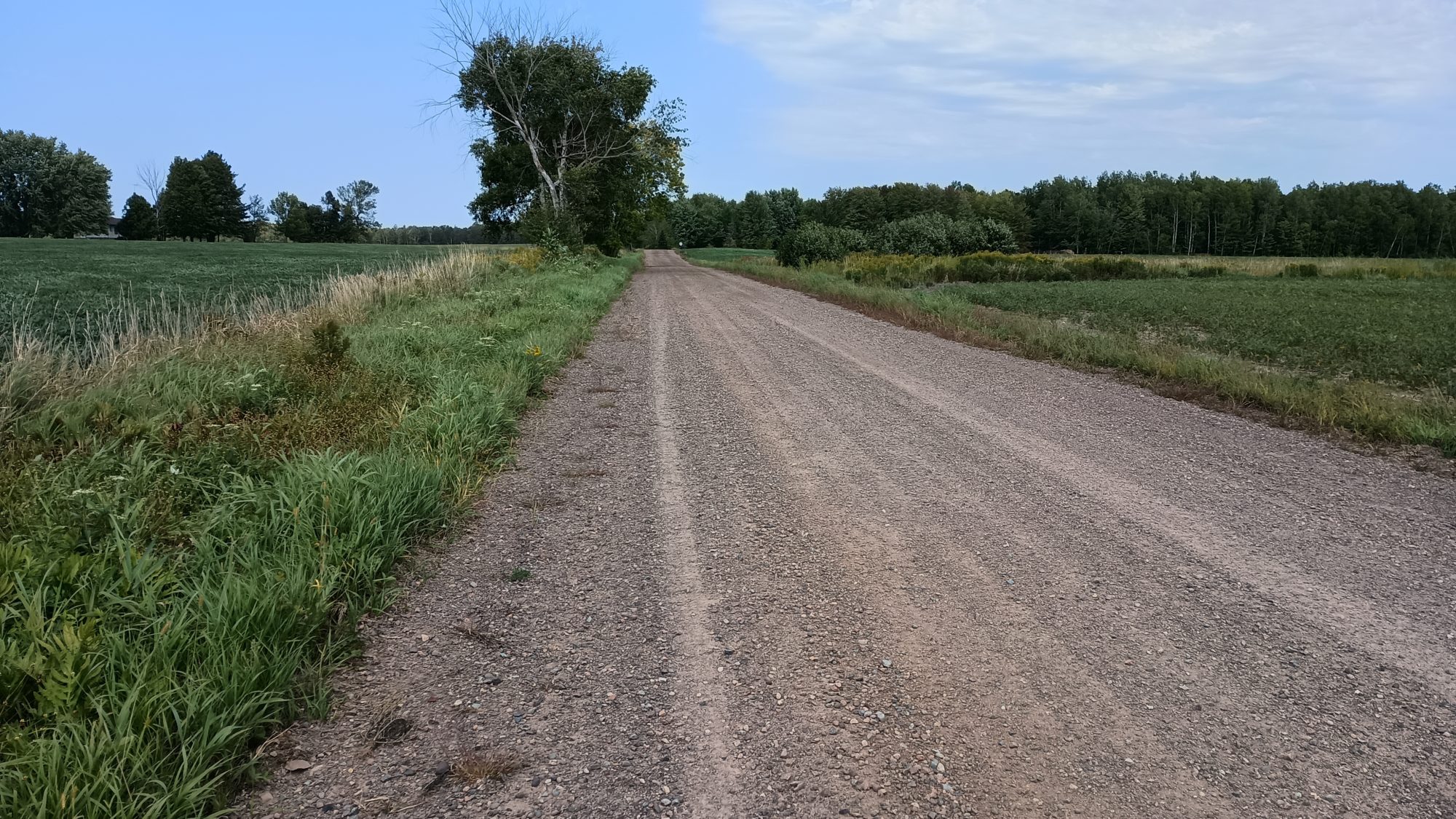
The rail trail continues far beyond this town but I hike only one more mile of it before I begin a road walk. This is a 4-mile road walk to take me West towards the river that separates Minnesota and Wisconsin. This is the last major road walk of the trip. There is very little traffic, but there is also no shoulder so it is a little bit annoying.

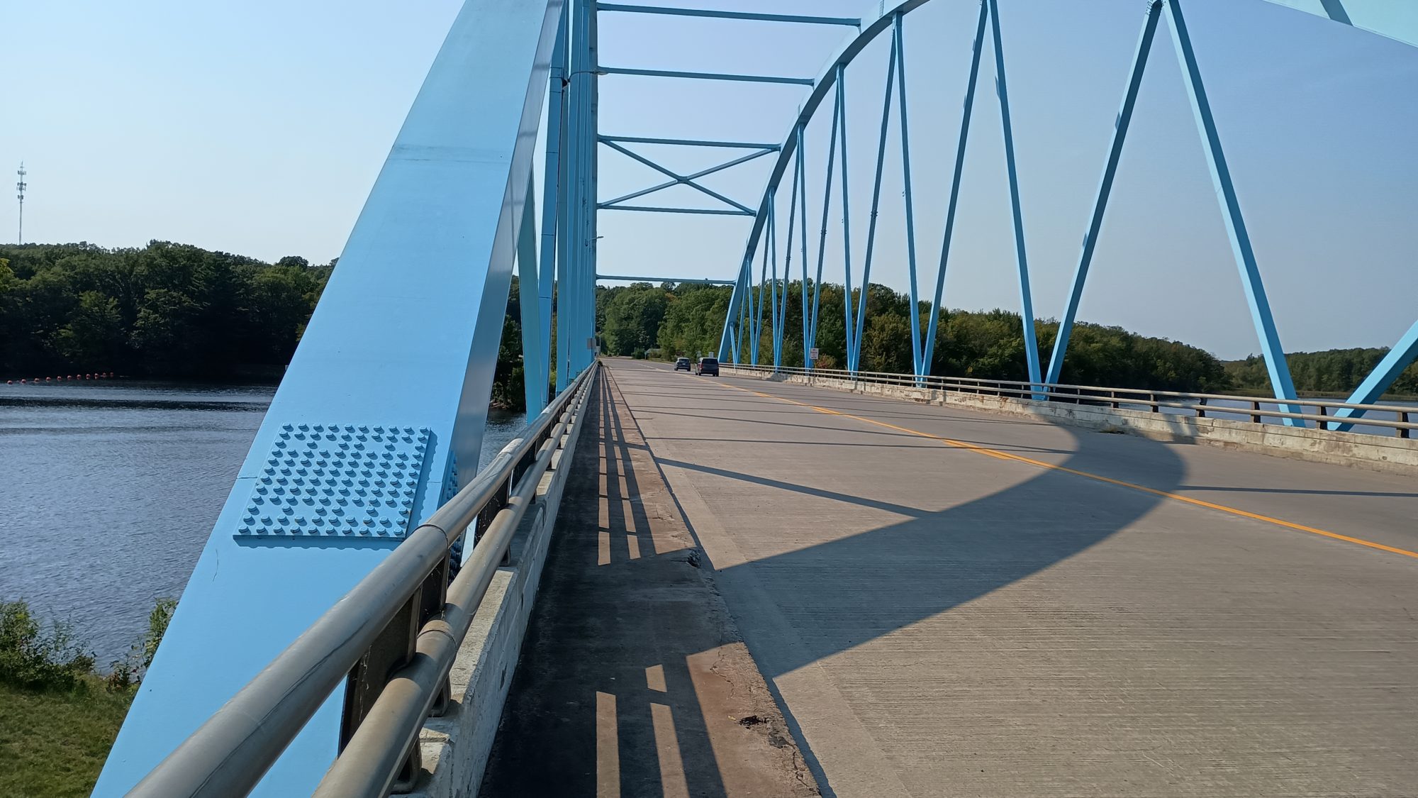
The road walk turns northward to take us to the St Croix National Scenic Riverway. I can see the trail heading southward as I walk the road northward. Another one of those annoying little quirks.

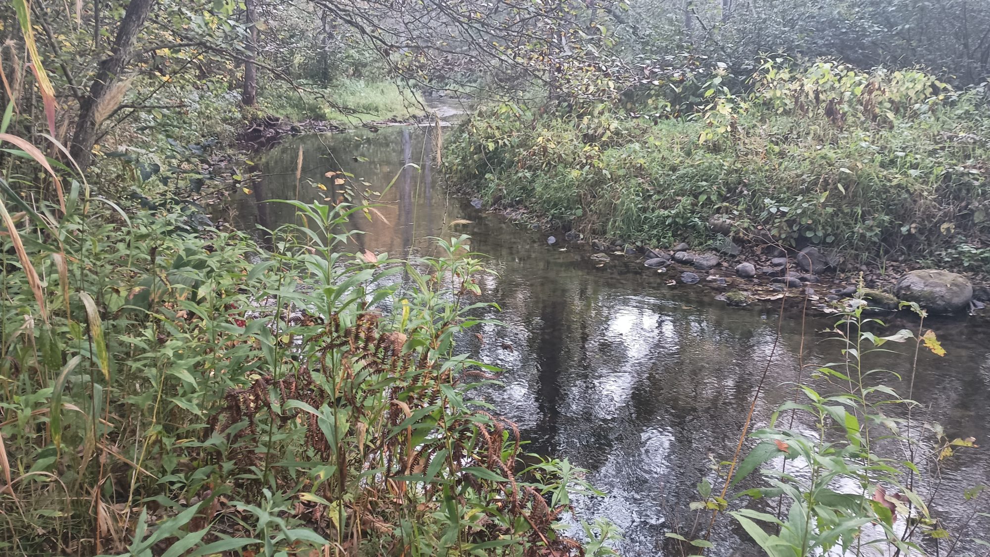
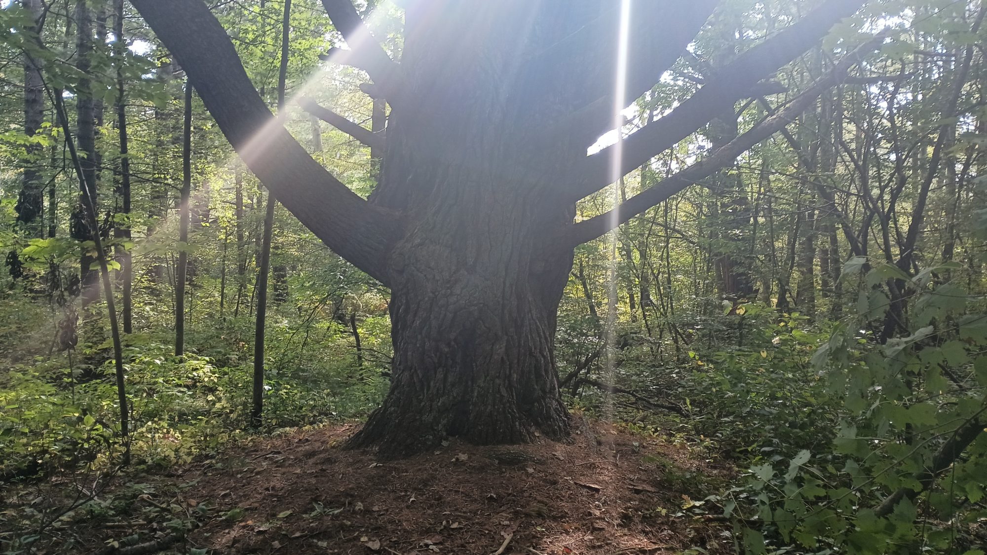
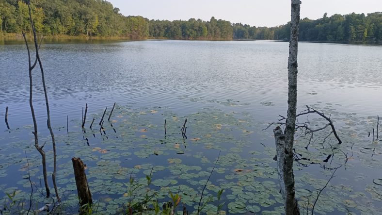
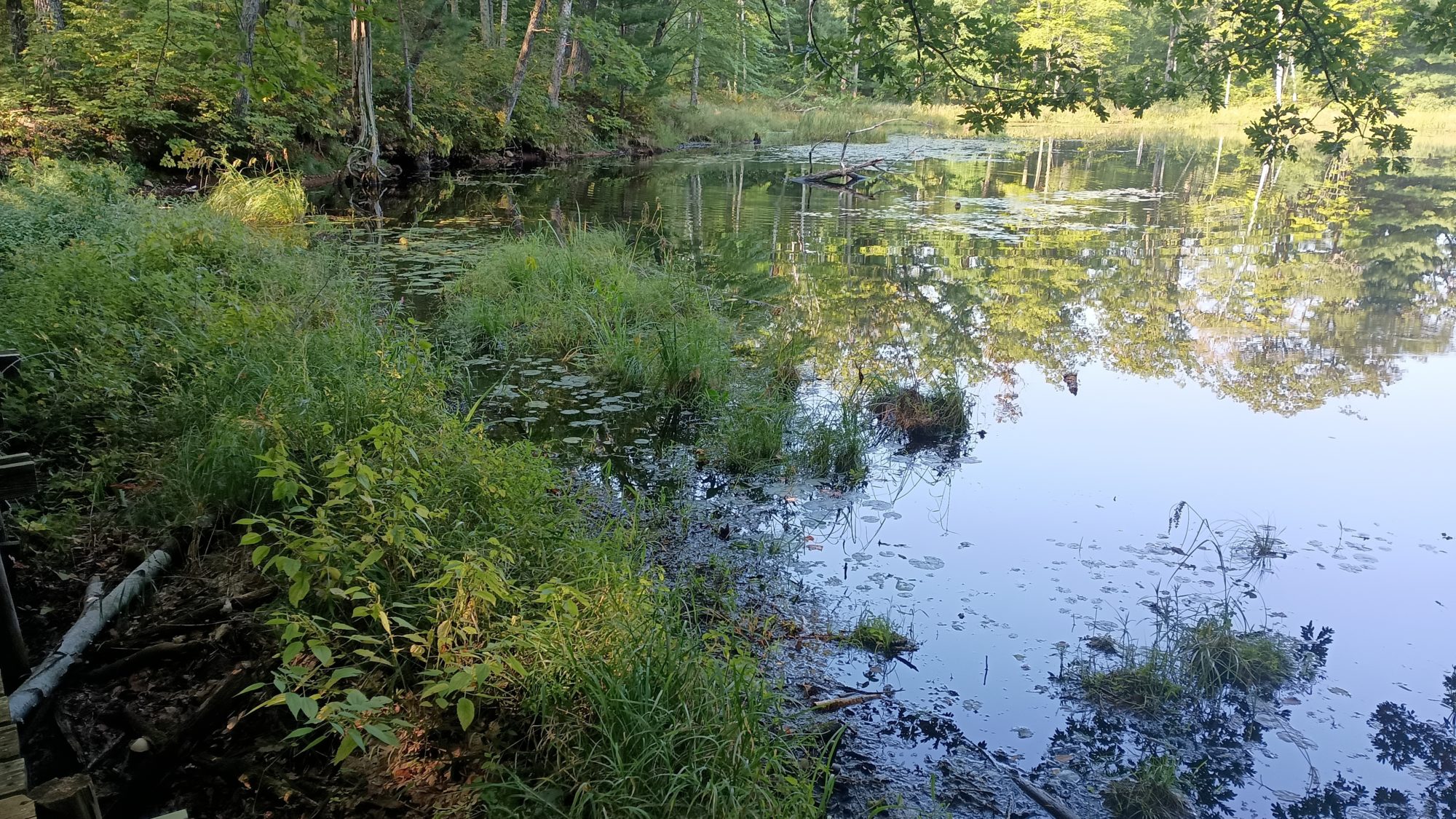
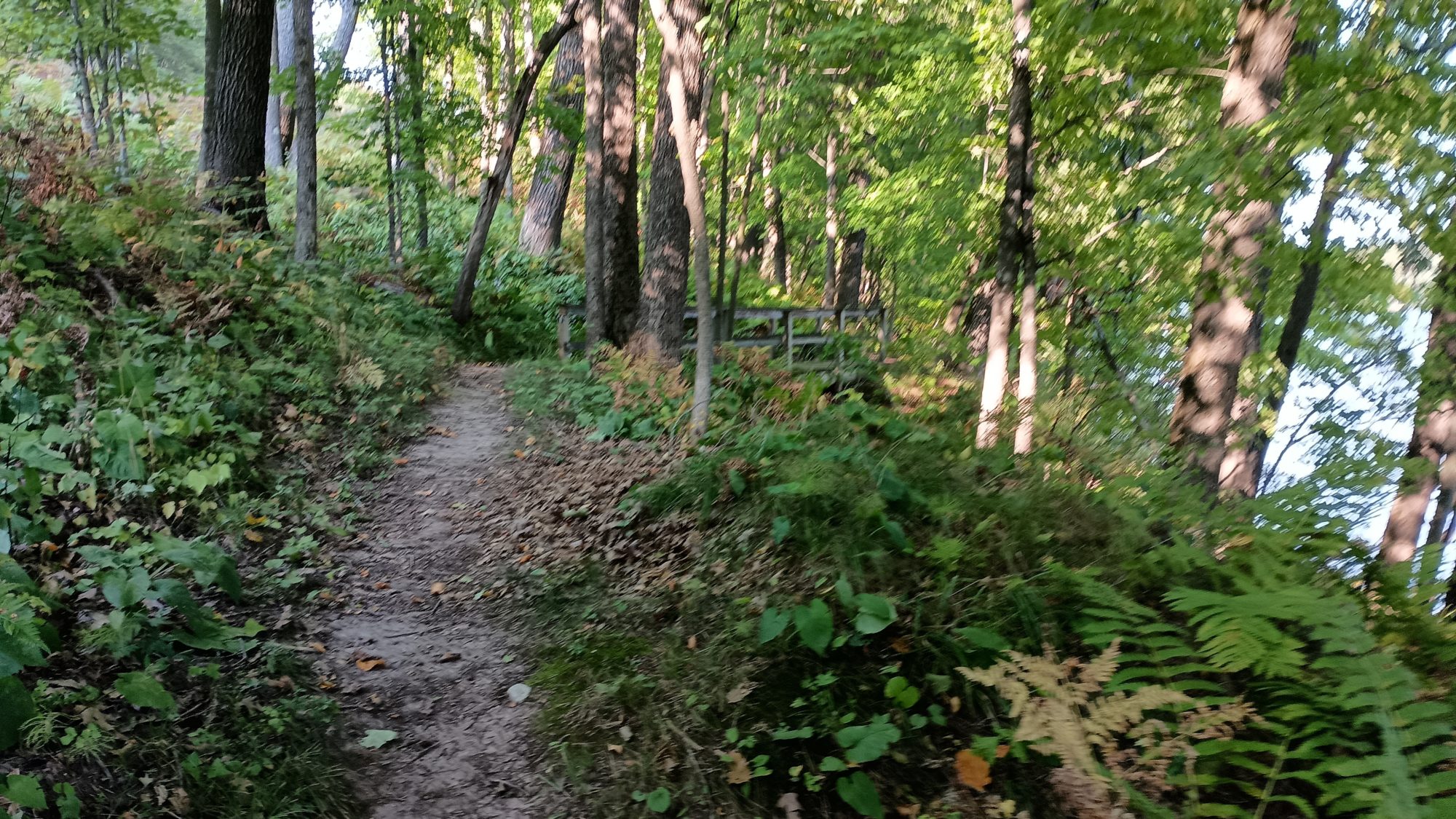
But after only 10 minutes on River road, I am finally back on yellow blazed trail hiking along the river. I find a huge tree that is toppled into the river and makes a great seat to stop and have a snack. I try one of the pastries that I bought from the cafe and it is amazing. It pairs well with my Dunkin Donuts coffee.

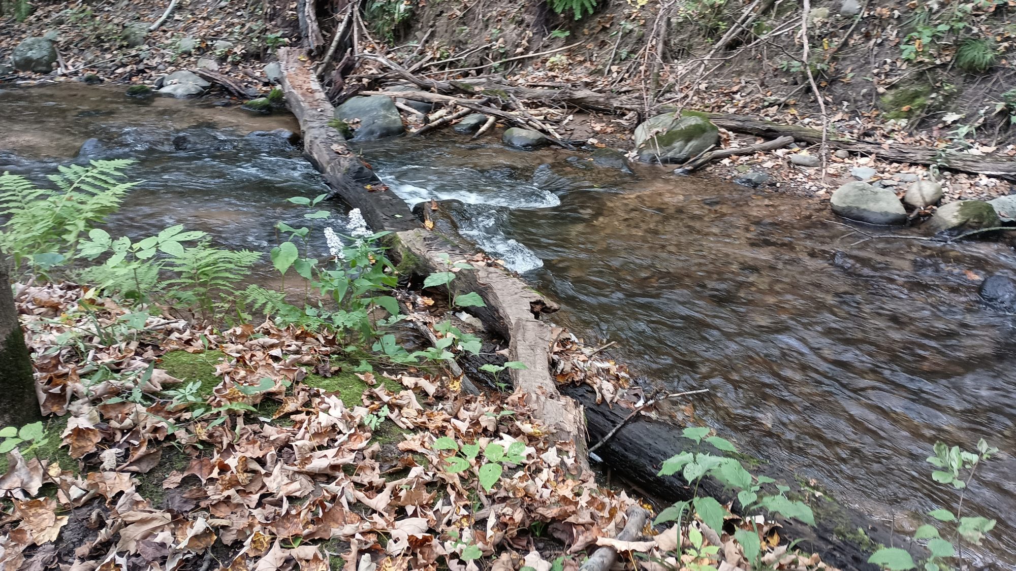
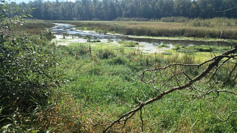
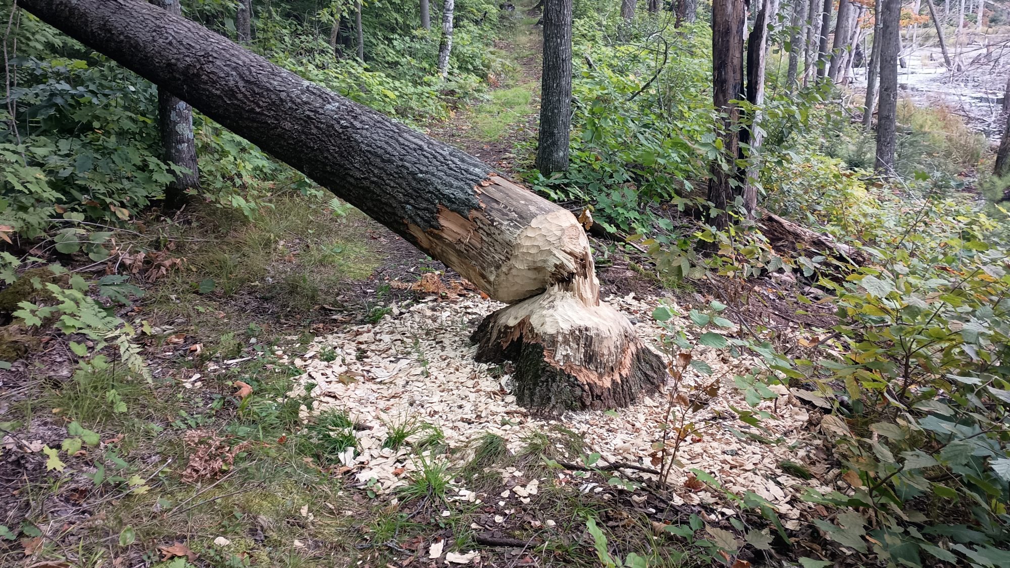
After my 10 minute snack break I am off and hiking again. There are many little feeder creeks going into the river. Most of them are small but some of them are quite large. There is one called Big Rock Creek that has a big rock at the edge of the creek. It is about 15 ft wide and has no bridge.

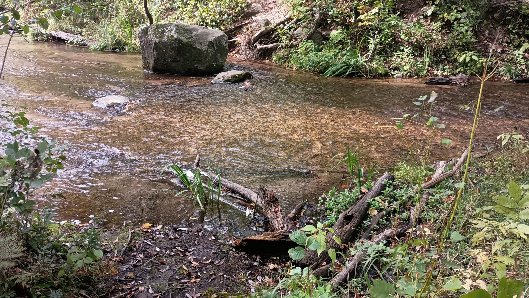
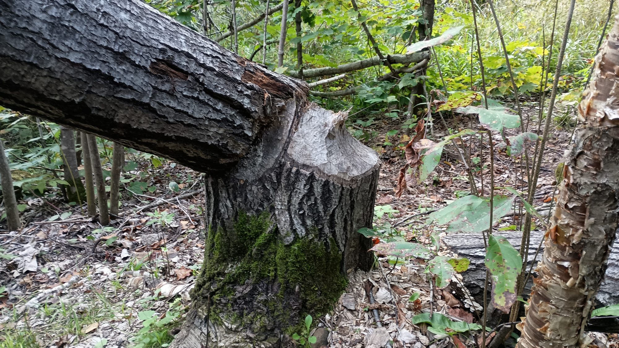
Is there really going to be a ford on my last day? I have brand new shoes and there’s no way I’m getting them wet walking through this creek. Luckily I can spot a log about 60 or 70 yards upstream that looks like an easy crossing. The scramble to get to the log is not exactly easy though. The terrain is very steep but after a minute or two I get to the log and see that someone has saw the top of it flat for very easy crossing. Kudos to the volunteer with a chainsaw.

I am on my way again and I pull out my phone to see how many miles I have left. This is when my foot kicks a root and sends me tumbling to the ground again. I can only laugh as I lay in the mud clutching my muddy phone. But I’m not laughing long as I realize I have stubbed the big toe on my right foot and it is quite painful. I just lie in the mud for a minute or two while I clean my phone.

Luckily the spot where I landed was not that muddy so I don’t really have to clean myself. It was just the phone that got muddy. But my foot is quite sore but there’s nothing I can do about that. I just keep on hiking. It quiets to a dull ache within a few minutes.

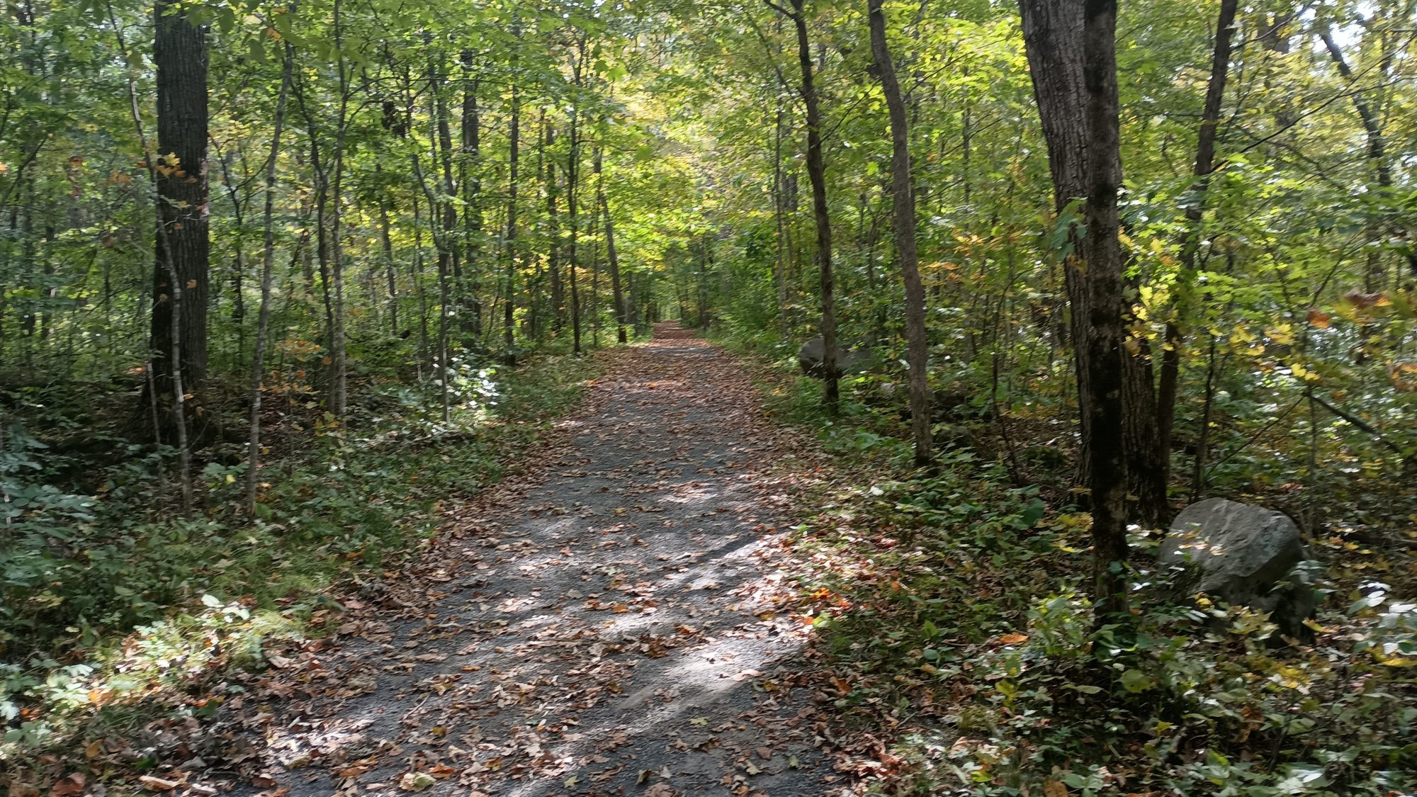
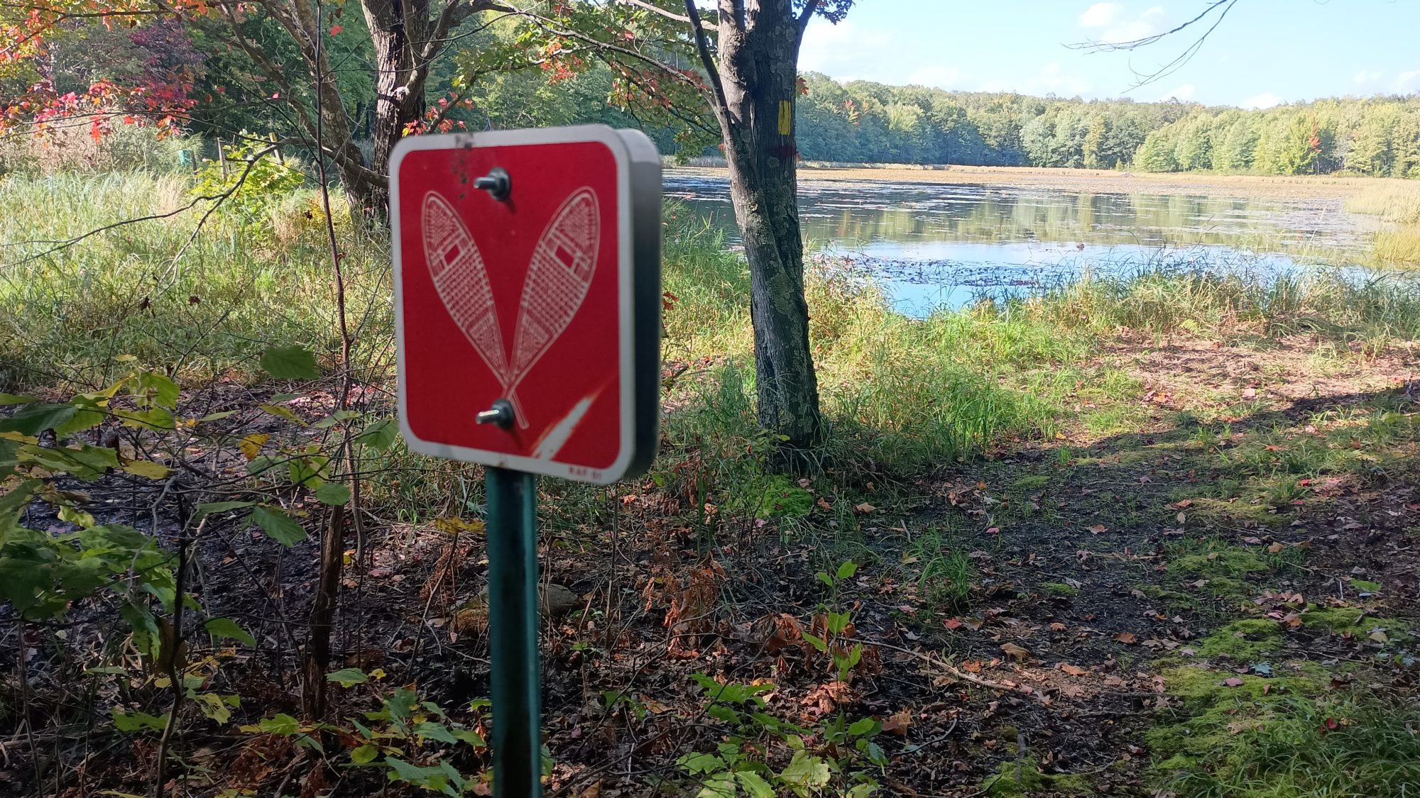
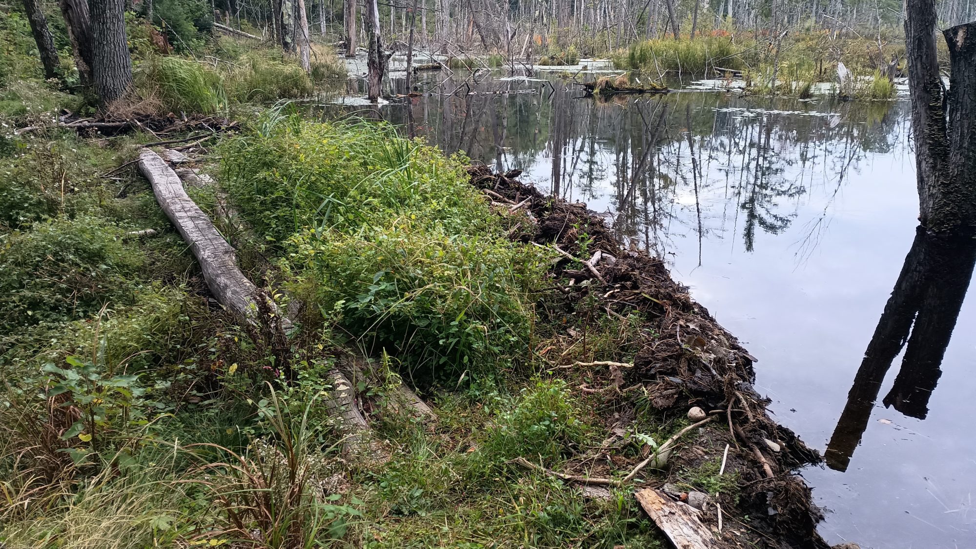
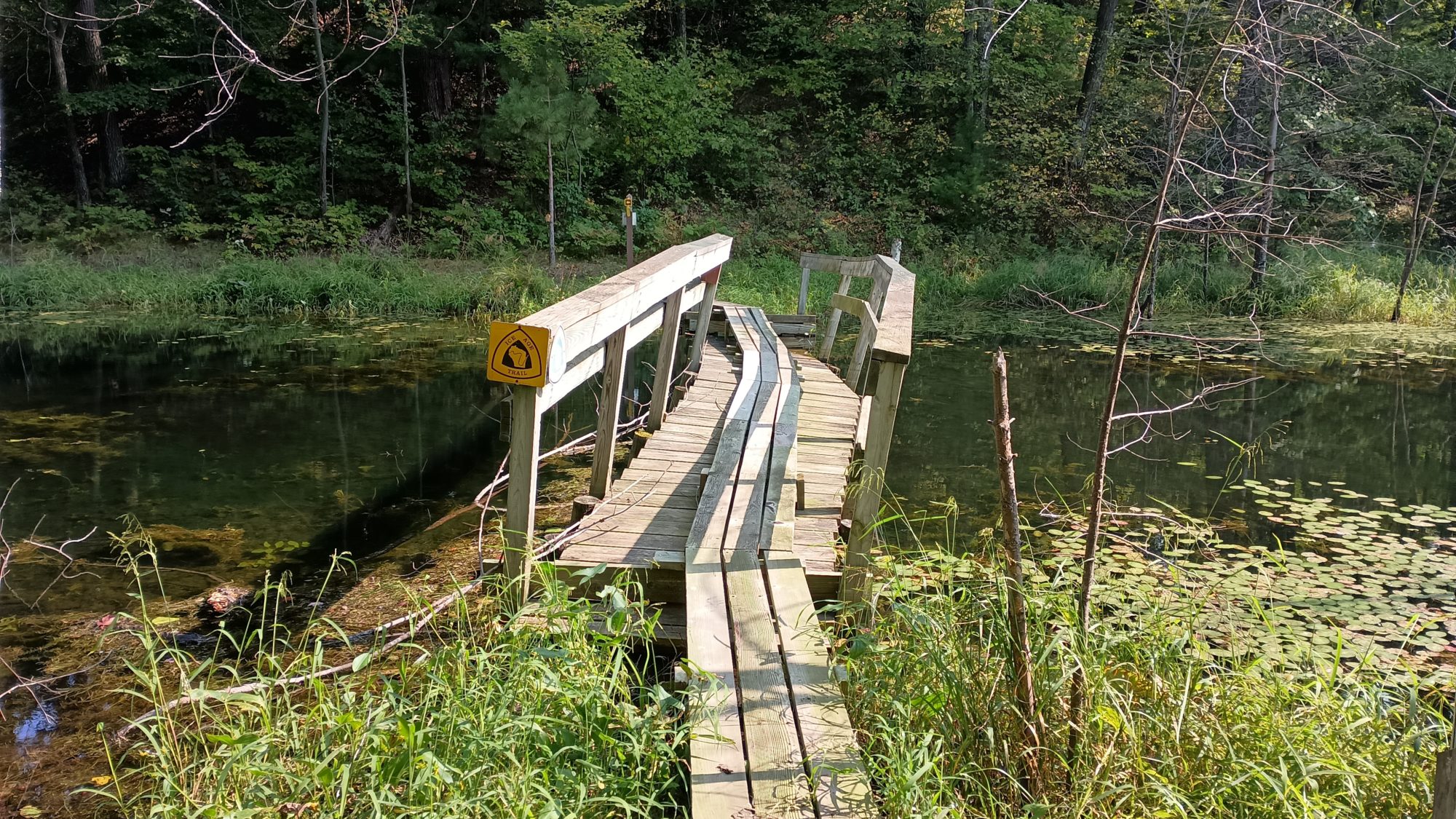
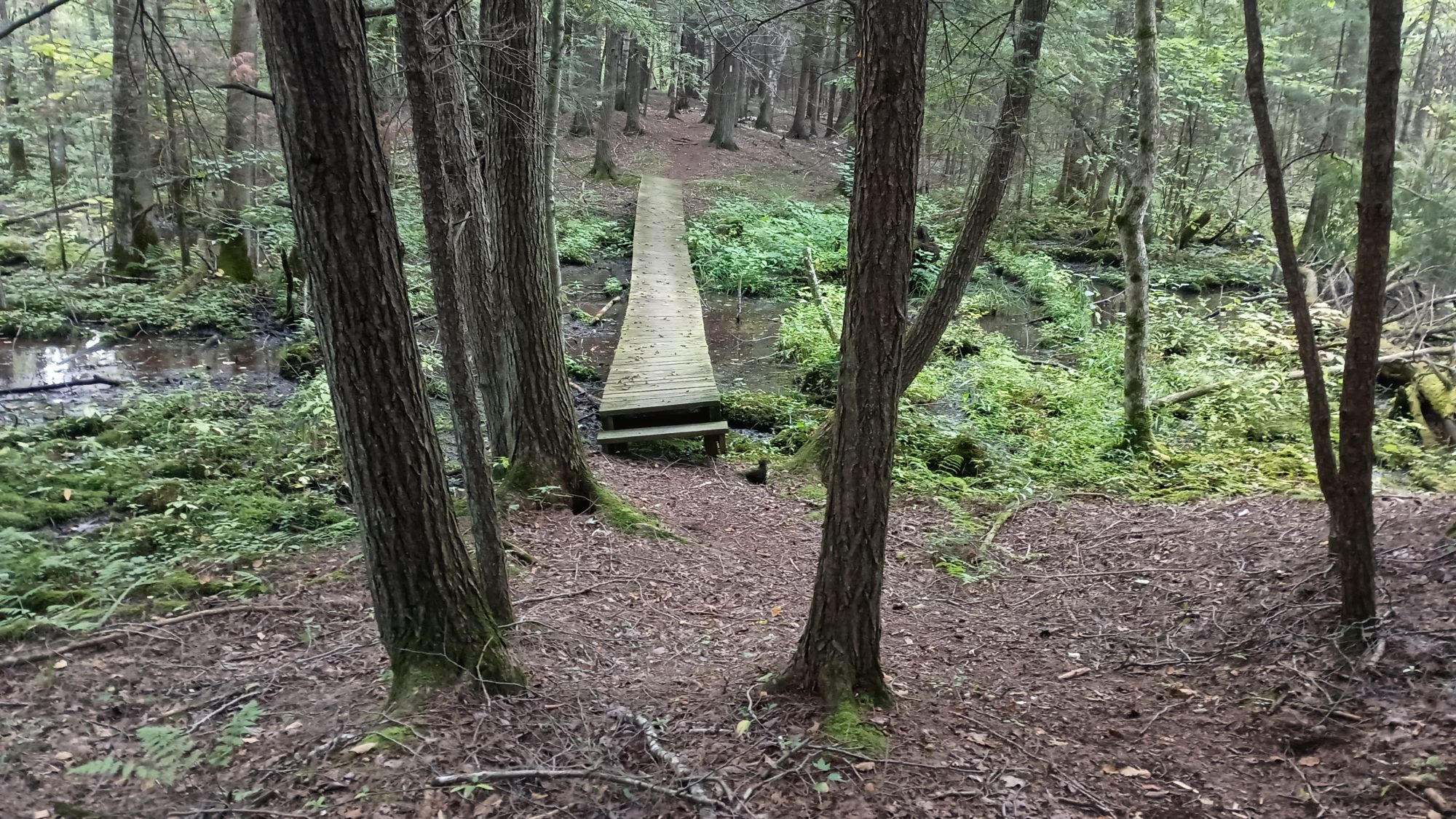
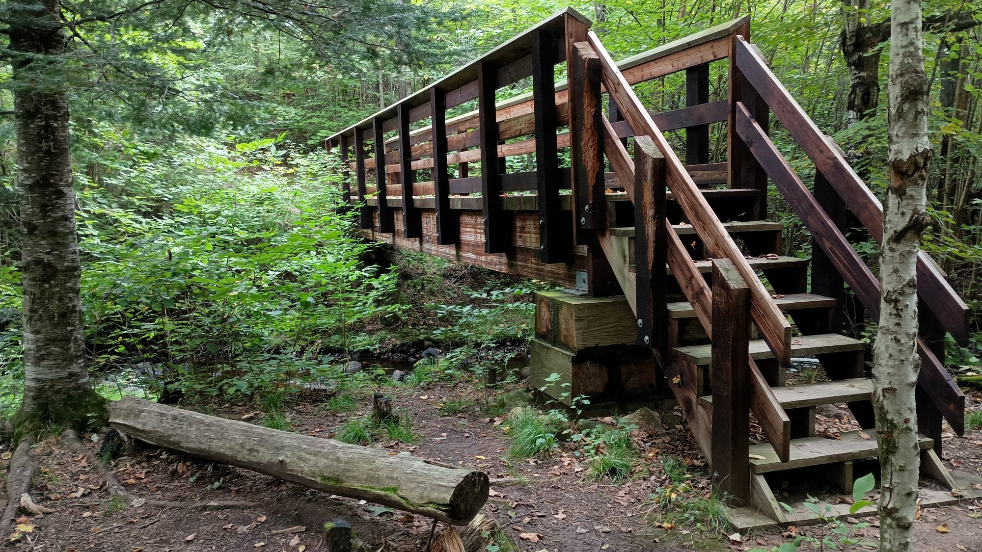
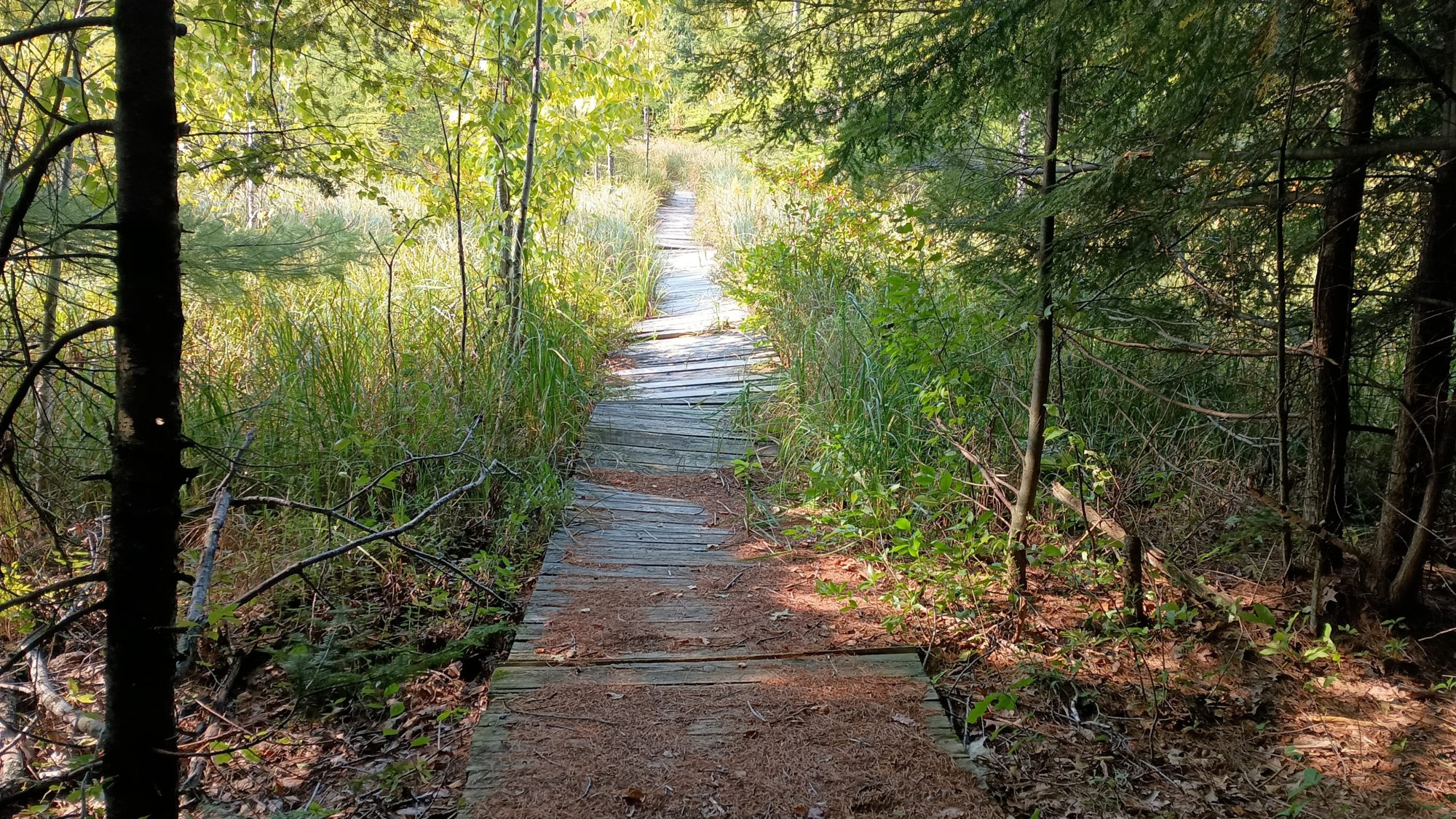
There is also a primitive camp here along the river. There is a giant camping sign facing the river so this is used for River travelers not just hikers. And the trail from here is very wide crushed gravel and every stream crossing has a wide flat bridge across it. This must be an ADA accessible campground. It looks like it would be easy to travel in a wheelchair.

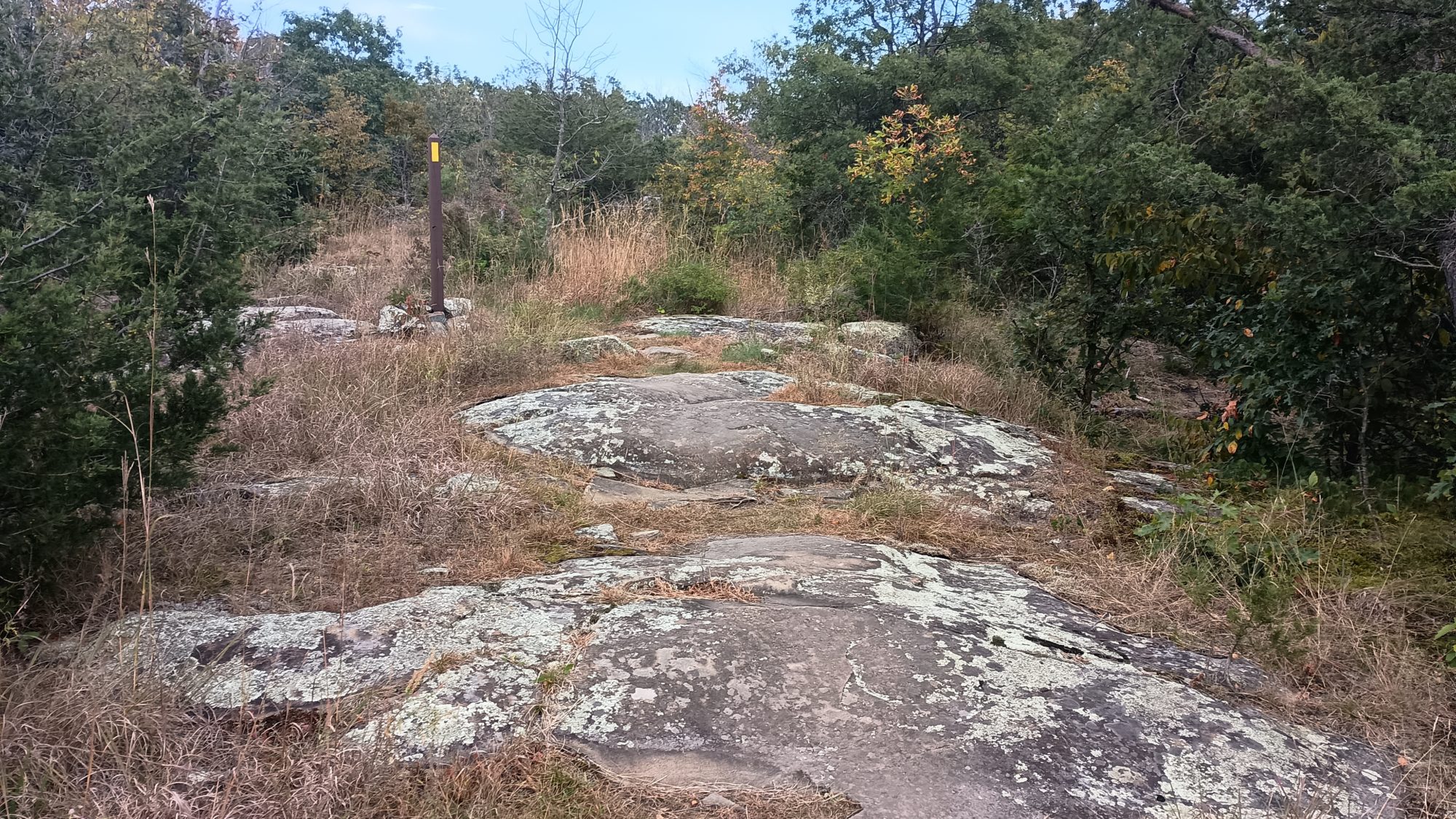
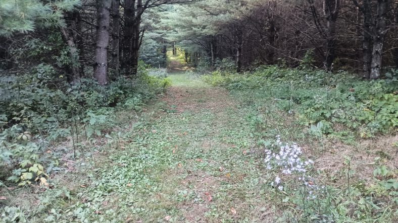
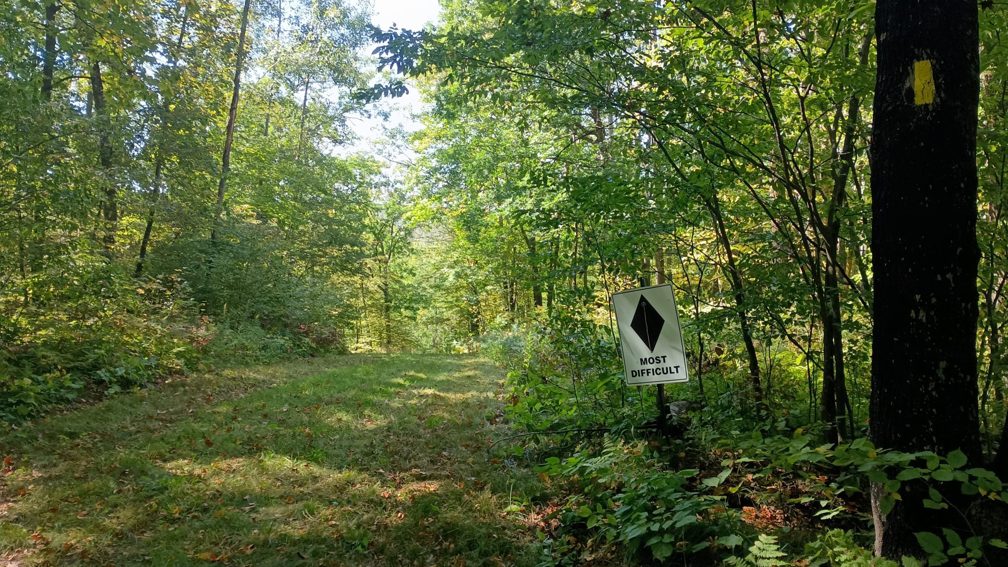
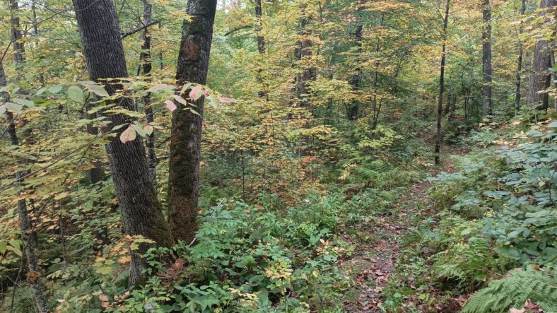
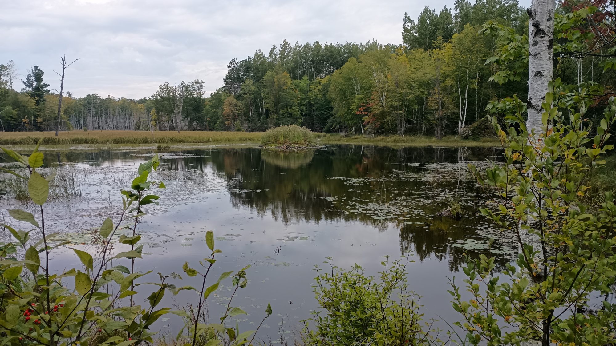
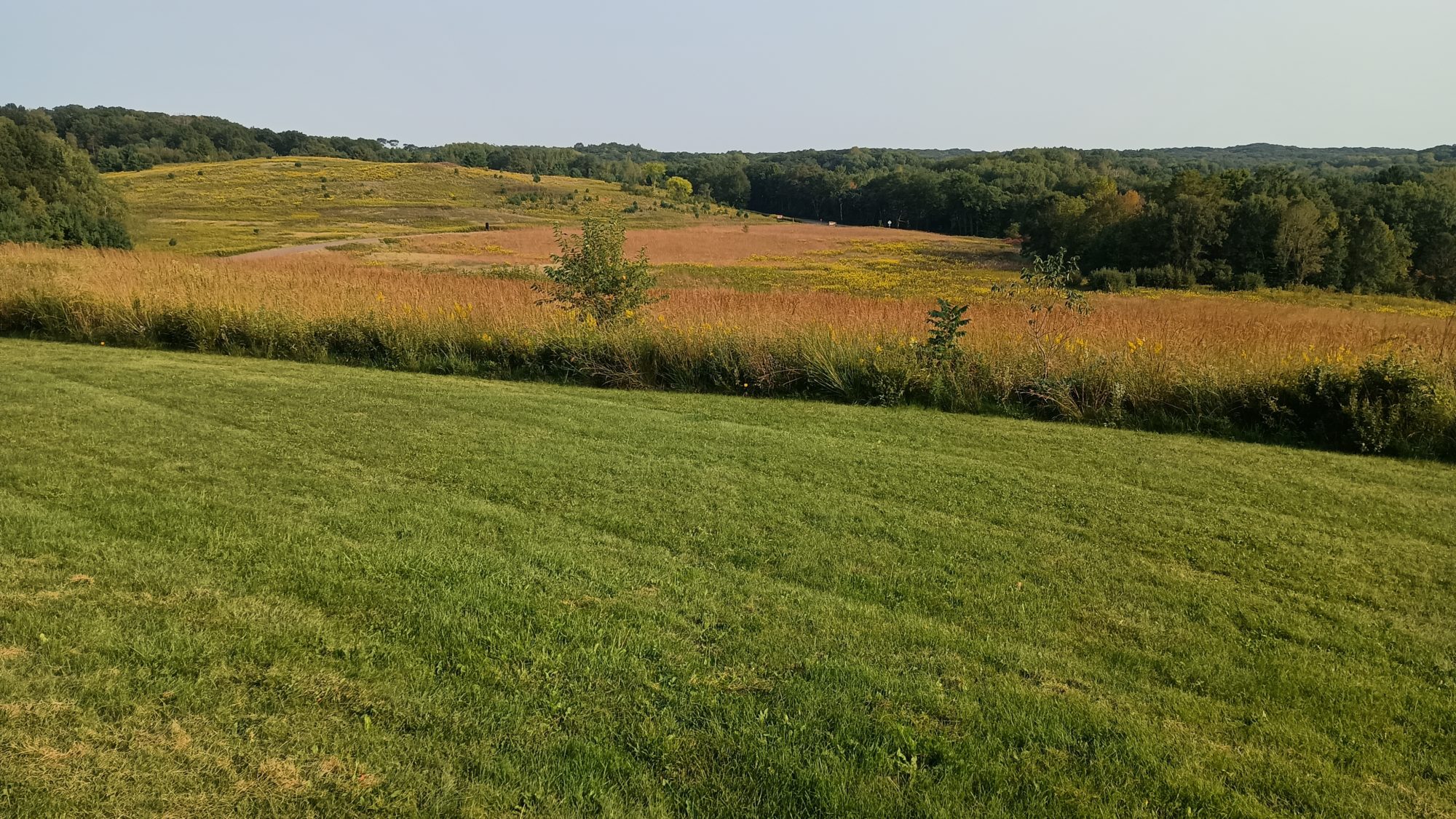
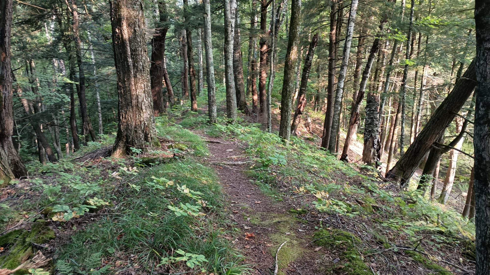
After a few miles, the National Park section is complete and the trail heads across the road to a private preserve. I have seen on the map that this looks like it’s going to climb a large esker. The trail signs indicate that there is an overlook so it looks like I might get another view.

The trail going up the bluff is not nearly as steep as it looked on the map. It is well graded more like the Pacific Crest Trail, and not a steep scramble like the Appalachian Trail. Before long I get to the overlook and there is nothing really to see. The trees are so thick you can only see a tiny sliver of the river and not much else. I would not consider this a view at all.

The trail continues in 1 and 2 mi sections of Trail that pops out into neighborhoods to get to another section. I would not call these road walks but there are definitely houses and people and cars. There are also two more schools to walk by. I am getting hungry so I stop and eat my can of spaghetti. I really do look like a hobo at this point.

There is one road walk through a neighborhood that it is about a quarter of a mile. I know it wants to take me over another esker, but it is not blazed well and it is hard to figure out how to actually start hiking up the hill. I finally figure it out and begin the climb. This one is steep and slows me down quite a bit. This one does end up having a little better view at the top, but still nothing amazing yet.

The trail down the esker is just as steep and delivers me to a road again so that I can cross underneath the highway to get to the state park. This one is about a half a mile on a sidewalk and a side road and now I am finally at the entrance to the park. It is just a little over a mile until the end.

But by now my right foot is starting to hurt. The foot where I stubbed my toe several hours ago is starting to throb pretty good. The trail is mostly downhill here and graded well, but as I approach the river stepping down on the rock steps is a little painful.

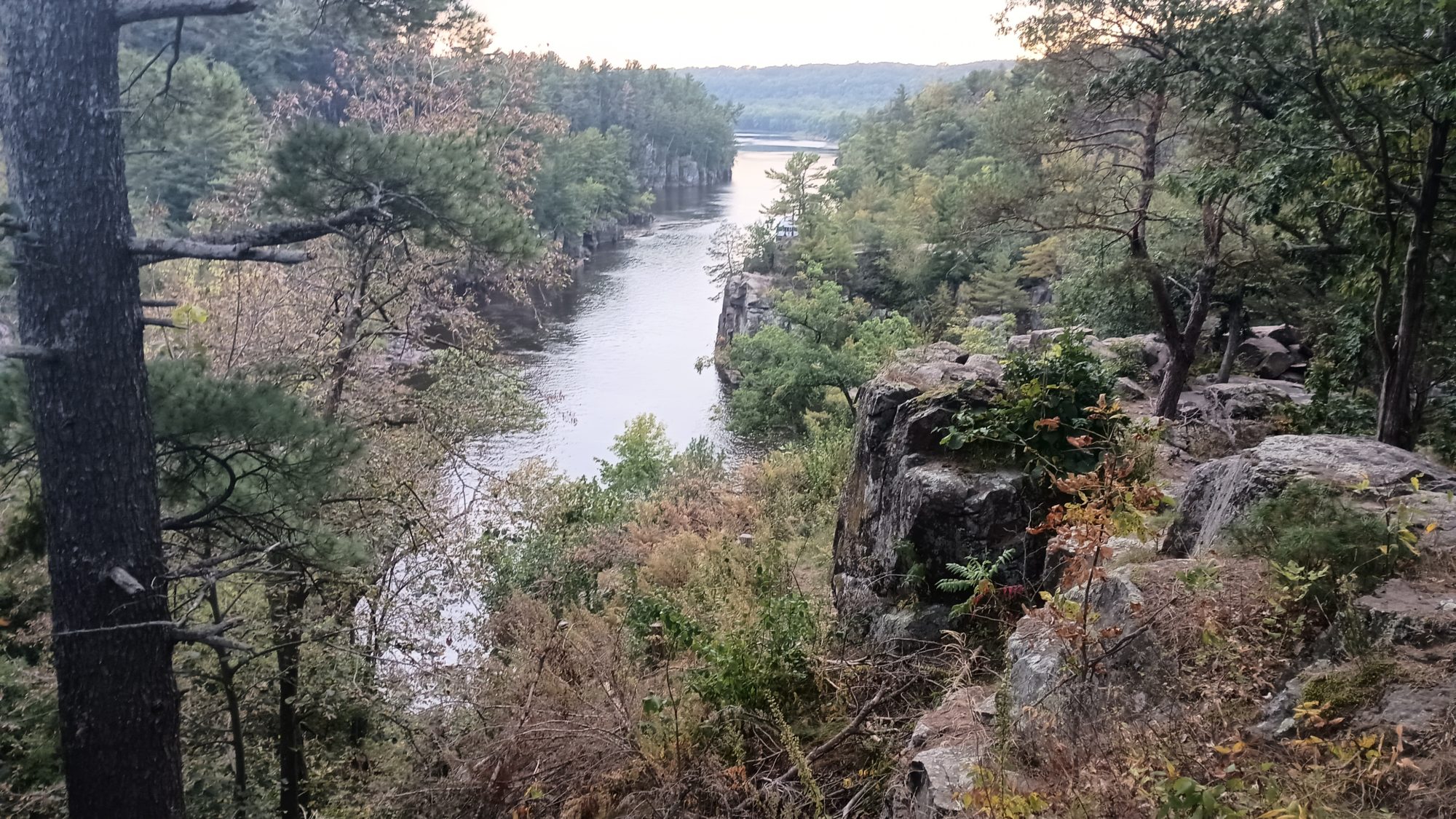
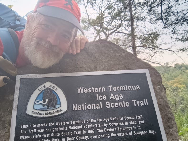
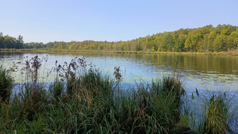
The trail comes out to a rocky cliff overlooking the river. The views from this point downriver are quite good and I can see the river boat that gives tours of the river docked not too far away. It’s a bit harder to see upstream because there are more rocky outcroppings in the way. But I can see another placard further down so I am guessing that this is the Western terminus.

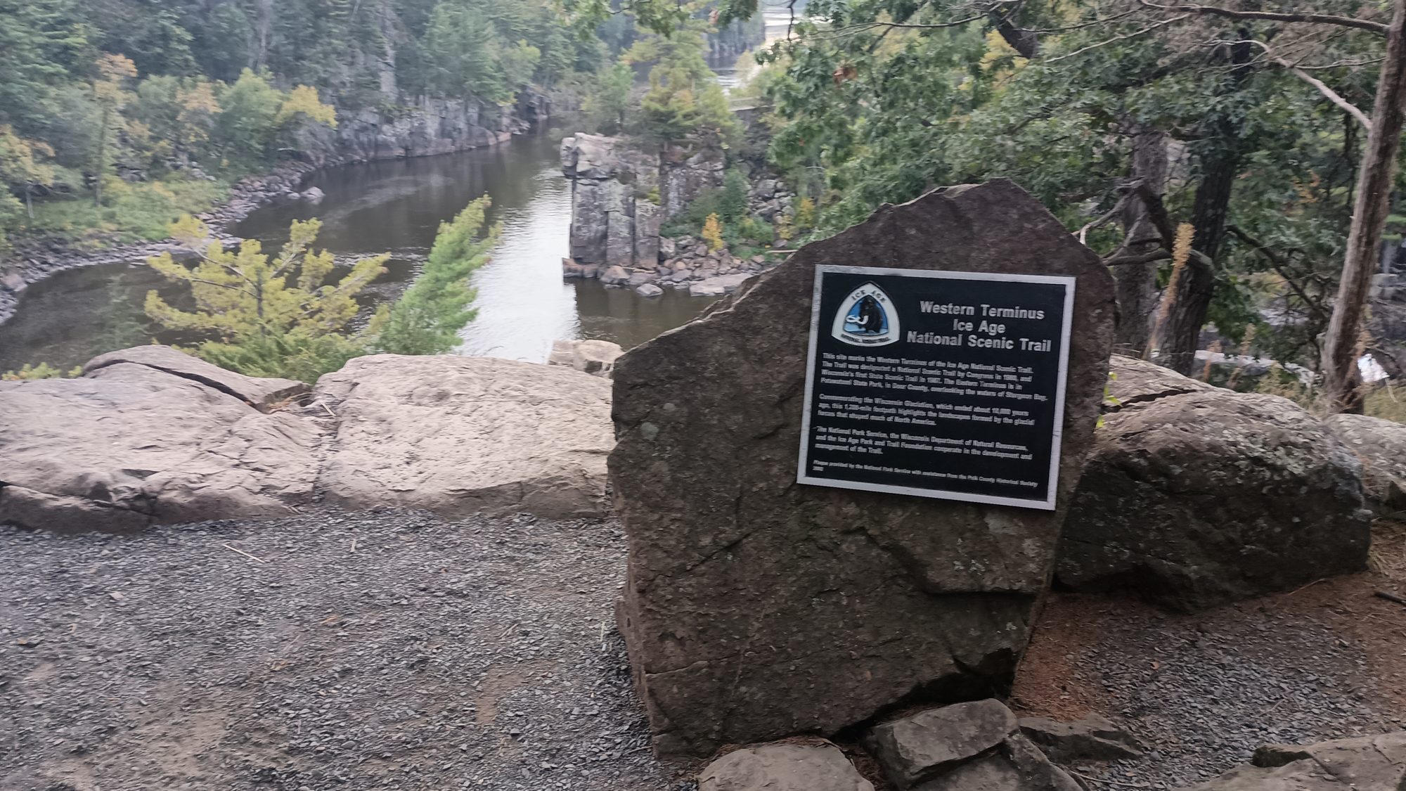
Within three or four minutes, I can finally see the end. There is no mistaking a plaque glue to the side of a rock. I approached The Rock and touch the IAT emblem at the top of it. After 50 days and 1150 miles plus bonus miles, the hike is finally complete.

It is kind of an eerie finish, though. I have not seen a single person in the park since I arrived and there is no one anywhere on the trails. It is 6:30 p.m., almost the same time I started this hike within view of Lake Michigan on the other side of Wisconsin.

I take my pictures, I take some video, and it is time to leave. Less than 5 minutes of quiet celebration. But I am still not done yet. I still have to get to the hotel that I booked.

I hike back up to the parking lot for this last piece of Trail and try to hail an Uber. I try Lyft at the same time and it flat out tells me there is no service in this city. That’s not a good sign. Uber is giving me the typical run around – we’re locating your driver just one more minute.

After 5 minutes of resting at the picnic table letting Uber lie to me, it is evident that I am walking to the hotel. There was one at the entrance to the park that I did not book because I assumed they would not have guest laundry. Instead I booked the Holiday Inn Express on the other side of town on points.

A quick check in Google maps tells me it is going to be a 3 mile hike if I hike along the highway, or a half a mile further on some combination of back roads that they have found. It is now 7:00 and there is only 45 minutes of light left, so I immediately begin hiking out of the park.

I keep trying Uber, after it times out while lying to me for 15 minutes. I don’t expect it to find a driver but it’s worth trying. Google has me going back to where the other hotel was and then following the connector to the Gandy Dancer Trail. At least I know the first half of the walk will have no traffic.

At the point where the Google route has me crossing the highway, it is showing one route that is obviously on the road and then another route that looks like some weird shortcut. As I approach the area I realized the shortcut is a continuation of this approach trail and is a bike tunnel that goes underneath the highway. That is definitely convenient.

The sun has already set and twilight is officially here. I can still see very well and it’s not quite dark enough to use my flashlight because there’s no cars anyway. I can hear the traffic on the highway going very fast and very heavy. I could probably save 10 minutes of walking down the highway but there’s a good chance I would get squashed like a bug.

Across the highway, the road I turned down is for an industrial complex. The bad news is that the sign at the beginning of the road says dead end. When I am about halfway down this road I can see that it indeed ends and there is some sign and a path. I fear that this may be a private drive and I’m looking at no trespassing signs. I definitely do not want to turn around and hike the highway at this point.

But as I approached the signs I am elated to find out it is one of the typical foot traffic only signs that I normally see on the rail trails. This is a piece of the Gandy Dancer Trail. Hallelujah. But after only a tenth of a mile or two the trail ends again. I can see 3 ft paths going off in different directions. I picked the middle one and just keep walking. It ends up taking me up a flight of stairs so I know this is not part of the bike trail, but it is taking me in the right direction.

At the top of the stairs the half opens up into another road into another industrial complex. I should be home free without traffic until I need to turn on the road that takes me back to the highway where the hotel is. By now it is past dark and not many street lights. So out comes the flashlight in my hand.

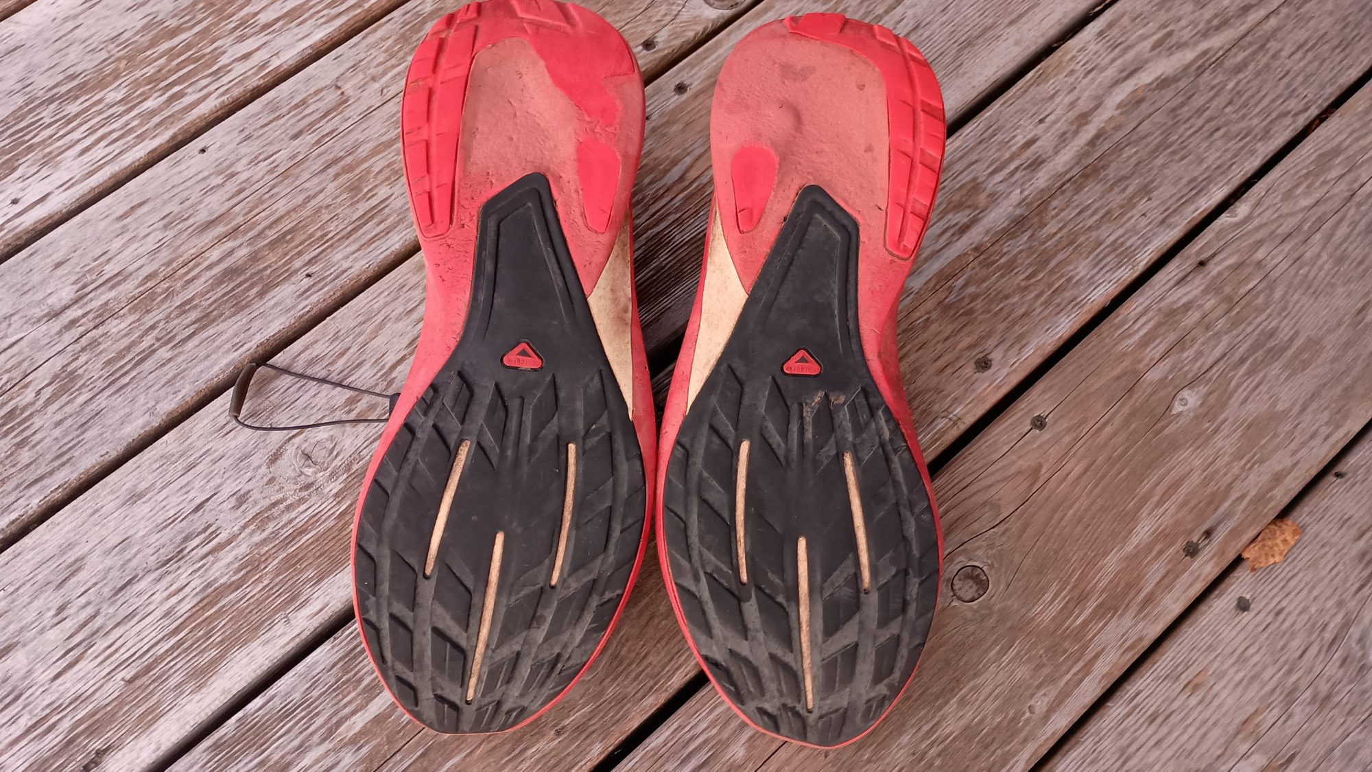
Another 10 minutes and I am at the hotel. It is about 8:30 at night and my foot is absolutely killing me. My fear is that I have broken my big toe. My hope is that I have just jammed it. Off come the shoes and socks and it is not swollen or discolored. Pushing and prodding all over it also seems to indicate it is not broken. But bending it is very painful. It is probably just jammed and will just be an annoyance for the next week or two. I buy a bottle of ibuprofen at the front desk and we’ll use that to try and keep the swelling down.

The hotel is nice and new and clean and has a wonderful shower and a big clean bed. But it does not have guest laundry. It also does not have a restaurant next door. The nearest restaurant is about 4/10 of a mile up the road. After a shower and clean clothes I head up to the restaurant.

And to my delight there is a laundromat literally right next door to the restaurant. It looks like I will be doing laundry here tomorrow during lunch. Either that or just wait until the next hotel in Minneapolis. Actually option B sounds better at this point because I am exhausted.

Emotion of the day, Adrenaline Power

From the moment I woke up, I have been full of energy all day. I think I had all of my gear packed in record time this morning. And the breakfast including the treats I packed out were amazing.

The rail trail hike went very quickly, although the lunch stop was a bit too long. I was sitting in my bar stool fidgeting the whole time knowing that the clock was ticking.

All afternoon I was just anxious to get the next section over with. Even after stubbing my toe and falling, I was still proceeding ahead at full speed. And the last mile or two when my foot started hurting quite a bit it still didn’t slow me down. I had a date with a rock overlooking a river and nothing was going to keep me from it.

The isolation at the terminus was a little weird though. Most National Scenic trails have a crowd of people at each terminus. This one was a ghost town. The Eastern terminus was the same way.

But I kissed the plaque, took my pictures, recorded my video, and left as quickly as I arrived. Possibly even more quickly because I was now racing darkness.

My energy and my pace did not let up until I sat down on the sofa in my hotel room. So today wasn’t a 25 mile day after all, it was really a 28 mile day to the hotel.

But all of that is over now. There is no more hiking. There is no more sleeping in a tent. There is no more swatting bugs. There is no more basting in my own filth.

Hopefully there is also no more eating canned spaghetti straight out of the can without heating it. Now begins the return to civilization.

Day 49, A Day of Luck

Today is the final day to make up time. And the best place to make up time is in the morning. I was finally able to get out at 6:00 and it’s still quite dark at this time. I had to hike with my flashlight held it my waist to cast shadows on the roots and rocks for the first 30 to 40 minutes of the day.

I have 32 and 1/2 mi to make it to the town of Luck, where I will be camping tonight for the last night on trail. So getting up extra early is a great start to the day. What is not such a great start to the day is having no internet and only 53% power left on my phone with no battery to replenish it.

When I figured out my schedule for these last 4 days I had assumed that everything would be flat rail trail. 30 plus miles is easy on a rail trail, but the shorter days make it a little harder and hills to climb definitely make it much harder.

The trail crosses the Clam River and for some reason it kind of smells like clams. I know it doesn’t really smell like clams but that’s what my brain tells me it is. It’s probably just beaver poop. I need to get some water this morning but I don’t feel like getting it out of this stinky river.

There will be several other water sources today. The next one is McKenzie Creek, and when I get there, it looks and smells much better. The trail here goes up and down bluffs along the river. The river is easy to access from the bridge, so I stop and fill up here.

While I am filling up, two section hikers come by and ask if I’m through hiking. You talk for probably close to 20 minutes both about the trail behind me and the trail ahead of me. They have spent the last week doing the West end of the trail so they have good fresh Intel on what is ahead for today and tomorrow.

The afternoon is meadows, road walks, farmland, and a large esker along a really huge lake. Aptly enough this is called straight Lake. There is a primitive campsite along the lakeside and I would love to stop here and hang out a while but I have a tight schedule for today. I really wish I had added one more day to the schedule from Birchwood.

I came across this huge white pine later in the morning. I wish I had a human in the picture to show you the scale of this tree but it is just massively wide. The branch on the left is bigger than my head.

It is quite warm today, so I make a Gatorade that reduced strength in my one and a half liter bottle weight. I am pretty certain this is a packet of Gatorade I have been carrying with me since hiking the Pacific Crest Trail in 2016. As you can guess I don’t make Gatorade often. The crystals are kind of clumping together so it is really hard to get the moist powder into the bottle. In the 1 l bottle I make my coffee since it is coffee time now.

I can see a cell tower in the distance so I turn my phone on for the first time and give Karen a quick call just to let her know everything is okay. I also call the Wren Cafe in the town of Luck where I intend to camp last night to get their permission. The phone quickly goes into airplane mode again because I am down below a 30% power now.

The trail now is between farms. I passed through one stretch of woods in a farm that has four horses. Three horses have bridles on and the one without a bridle has a really bad sway back. It makes sense now because I have just crossed a really well designed self-closing gate. I pass another identical gate after emerging from the woods with the horses and across a pasture.

The soybeans are starting to dry out now. And as they wilt and turn yellow they look like flowers. I am sure in another 2 weeks these fields will look dead. But for now it looks like I’m walking in an endless field of flowers.

As I am about to cross another gate, I noticed red blobs all over the ground. I get excited and look up in the trees to see two more apple trees, one on each side of the gate. I don’t even bother trying to get one out of the tree but find one on the ground that has no holes or bruises. It tastes okay but isn’t great. I then try one from the other side and it is amazingly sweet and very crisp flesh. There are so many on the ground that I just scrounge around and find six or eight of them that are in good shape and shove them in my pockets. Apples on a hot day or like nature’s Gatorade.

The last lake of the day is called straight Lake and it’s in a State Park. The trail is well marked in a good shape but there are also other trails and pads intersecting the Ice Age Trail. This means I have to use my phone several times to make sure I am on the right path. Using the GPS takes more battery so this has me a little worried.

Nevertheless the hike is nice and pleasant and has very little elevation change so it goes quickly. There is a nice spot at the outflow of the lake to collect water so I go ahead and fill up and have a little snack and rest. I still have 10 miles to go and the Sun is getting pretty low on the horizon. But there is nothing left to do but to keep hiking.

At the trailhead at the end of the lake and the state park I have a decision to make. It is now 5:00 p.m. and I still have 8.7 mi to go. I will get to the cafe at 8:00 and it will be dark. My phone is down to 12% and I still have two road walks to go. If my phone dies before the road walks, then I will have no idea where to go. The road walks are not marked, only the trail is.

The other option is to turn left here, and add a 3-mile road walk which removes 6.7 of the miles of trail. It will save an hour of time, but more importantly there is only one turn. I can time the exact distance of the road walk with my watch, and the same with the two miles on the rail trail. I won’t need navigation I will only need my watch.

It’s not an easy decision to make. There are already four or five miles of blue trail that I have missed from missing turns or going the wrong way and not backtracking enough to catch them all. So it’s not like I’m an ultra purist for seeing every single yellow blaze at this point. But this would be consciously cutting out 6 miles of official Trail in exchange for 3 miles of road walking.

I decide that safety is more important than purity. The three miles I would be shortening my hike by is more than offset by all the out and back loops I did weeks ago that don’t even get figured into the official mileage. I am still walking by foot from one end of Wisconsin to the other so it still feels like a through hike to me.

I spent 5 minutes going over all the pros and cons in my head before finally turning left and heading down the road. I am not willing to risk getting lost on a road walk when it is getting dark.

The road walk is uneventful and only two cars end up passing me the entire 3 mile walk. I get to the rail trail intersection with the road only 2 minutes away from when I predicted I would get here. Two minutes in a 1 hour hike is pretty darn good.

My phone is down to 2% battery so I have enough to take one picture of the rail trail. And in less than 1 minute I hear the chime of my phone powering itself off. My phone is officially dead now, I have no method of navigation, but I know how far it is to the cafe and I know the cafe should be visible from the trail. I do a little math again and figure out that I will be at the cafe at 7:22, just 20 minutes before dark.

And like clockwork, I am at a road crossing at 7:30 after taking an 8 minute rest break halfway down the trail. I cannot see the cafe from the trail but I know this is the correct intersection. So I hike out to the highway from the trail and then I see the sign for the cafe three buildings away.

After I head around the back of the cafe, I immediately look for the power outlets and plug my phone and battery in. There are two large gazebos behind the cafe and a pretty good sized grassy area and a few trees.

I am not a fan of camping in grass because of the moisture but it looks like one of the trees is large enough to keep the dew off of me. I then set up my tent so that I will have refuge from the mosquitoes if they ever show up. Luckily they never do but it’s a habit to always have a shelter at the ready.

Next up is water. I feel one of my bottles from the hose but when I drink from it it tastes like a plastic chemical horrible taste. When I look at the hose it looks like a new hose and it’s coiled under the deck so I can’t really see anything other than a few feet of new shiny hose.

Maybe this water was just sitting in the hose too long and I should let it run first before filling the bottle? I let the water run for 30 seconds while I dump out the bottle of water. I refill it again from the hose and when I tasted it, it tastes wonderful.

The next decision is to whether to cook dinner here at the cafe, or walk into town to one of the restaurants that is still open. It is now almost 8:00 and basically dark, my phone probably only has 5 to 10% power on it so far, and it’s almost a mile into town. I don’t think I want to add two more miles to my hike today while leaving my gear sitting here behind the restaurant. I will be eating whatever scraps of food I have left.

So dinner consists of a pot of mashed potatoes, tuna fish on a tortilla with mayonnaise, a granola bar, a cheese stick, my last two dried apricots, and my last three cookies. The only food left in my bag is two tortillas one granola bar, one cheese stick, and some almond M&Ms. I will need to get some more food before leaving town tomorrow. I still have 25 miles till the end of the trail, so tomorrow will be a full day of hiking as well.

This is also where I finally say goodbye to my trusty Salomon shoes which took me the first 1,039 mi of this trip. The new shoes have done fine for the last 3 days so I no longer need to carry the insurance policy. I give them an unceremonious funeral in the dumpster.

There is such a nice wind on the gazebos that I dry out within about 30 minutes of getting here. I also have an endless supply of water so I decide to take a sponge bath and get as clean as I can with a handkerchief. I would not call myself clean by any stretch of the imagination, but at least I feel a little more humane.

My step counter for the day says that I traveled 33.3 miles over a 13 and a half hour period. That’s 66,191 steps for those who care. The trail guide says that I was supposed to travel 32.5 miles. I find it interesting that I traveled farther even after cutting off three miles of the route. It definitely does not feel like I cheated today. It just feels like I avoided a potential disaster by making a conscious decision. I can live with that.

Emotion of the day, Nervousness

The power on my cell phone really had me worried for the entire day. If I had even 10% left on the battery bank I wouldn’t have felt this way at all. But to know that what you have in your phone is all you will have for the entire day, and your phone is a critical piece of navigation, is not an easy feeling.

If I had chosen to stick to the trail, then I know my battery would have run out before the second road walk and possibly before the first one. That was a tough decision to make, but I am glad that I chose the road walk.

The last 2 hours of hiking were the only time that I was really at ease. Knowing the exact distance of both the road and the trail put me at ease. Having a watch made me feel comfortable that I would know exactly which roads to turn on.

But from 6:00 a.m. to 5:00 p.m. I was a nervous Nelly. Scoring the sweet apples was the only 5 minute reprieve I had from being nervous.

I never want to feel like that while hiking again, so I will be disposing of this battery pack as soon as I get home. I will also load test every battery pack before starting on a new hike.

Hiking should be fun or tiring or exhilarating or boring. Hiking should not make you nervous.

Day 48, We are in Wild Country

Despite having a long day today I was a bit lazy this morning. I did not get out on the trail until 7:15. It should have been more like 6:30 or 6:45.

Now begins the game of “did I pick the right campsite?” for the next hour. The trail is very open, covered in grass which is soaking me quite thoroughly. There are still aspens all over the place and I wouldn’t call these grassy areas meadows. They are just areas where the trees haven’t overtaken yet.

But one thing that has overtaken is the beavers, of course. It seems like there is a beaver pond every half a mile or so. And every one is the same. The level of the pond is 2 ft above the surrounding ground, and the ground oozes mud and water around a thick and lush layer of grass.

But I have my secret weapons now. I have brand new shoes with excellent tread. Even on muddy grass they find good purchase and I am not slipping at all anywhere. But my brand new shoes are soaking wet and getting a little muddy. Better the shoes get muddy than my forehead get muddy or meet a rock.

One thing that makes being wet better is the fact that the blueberries are still pretty heavy in this area. There are plenty of vines that are empty and vines that have dried up blackberries on them. But there are also plenty that have ripe and unripened berries on them. The best flavor comes from ripe and only half ripe ones. The half ripe blackberries had just a small tang to the sweetness of the ripens.

I am almost out of water so I need to find a place at a good size lake that won’t taste like beaver butt. By 9:00 I find a nice big lake that has a real easy trail leading right to its edge. The water is pretty clear to begin with and when it filters it’s almost tasteless. I will score this one as a win.

Less than 30 minutes after filtering water I come across another through hiker with a dog. This one is Melissa and her dog is Daisy. This is her first through hike and she is in her first week and still her first hundred miles.

Apparently she started with two dogs but had to send one home after it developed some sort of sprain. This one looks very anxious and is whimpering gently. I don’t think Daisy is enjoying the trip very much.

Melissa was asking me questions about how to deal with certain things about hiking and camping. The one thing that seemed to concern her the most is having to put on wet smelly clothes in the morning. She asked if there was anything that could make this part of the hike better. I told her in as many years and as many hikes as I have done, as long as you are on the East Coast where there is humidity then this is the price you have to pay. Going west of the Rockies is the only solution to this problem.

We went on our way and after 20 minutes or so I thought to myself that I should have offered my cell phone number in case she had any more questions. This Trail is not an ideal first through hike since it is so isolated. If the Appalachian Trail is your first hike you will have 20 other people around you to help you out. But she may go a week without seeing another hiker.

There is, of course, more road walking in store for today. This next section is on some very isolated back roads through farm country. I don’t think I saw a car the entire road walk. I did see one big tractor though.

As the road crossed the highway, there was the opportunity to go one and a half miles down the highway to some restaurants. It is mid-morning so there’s no point in taking the extra miles since my target is 30 miles for today. Besides I will pass you the town of Haugen in a few more hours.

This next section is through ski trails. From the map it is hard to tell if it will be 2 miles or 15 miles worth of ski trails. It doesn’t really matter, miles are miles.

These ski trails are cross-country ski trails. They are very wide but have lots of up and down hills. They are graded like downhill ski slopes in that some of them are labeled moderate and one of them is labeled Black diamond difficult. I couldn’t really tell what made the Black diamond more difficult other than maybe it was 10 or 15 ft higher than the others. Maybe it looks completely different in the winter time when it’s covered with snow.

The ski trails finally came out to a parking lot and I saw a crew of people working on some sort of project. From their shirts they were the Wisconsin Conservation Corps. They had grinders and Sanders out grinding and sanding very large dead tree limbs. What they were doing looked more decorative than functional. They didn’t really acknowledge that I was even there so I just kept on walking.

The ski area was much larger than I thought. I entered the ski area about 11:00 a.m. and didn’t exit it until nearly 4:00. That is a lot of miles on ski slopes. It wasn’t difficult walking but it did slow me down having to go up and down so many hills. Thank goodness they weren’t New Hampshire hills.

The last 2 miles of Trail were on snowshoe trails. I guess when your snowshoeing you don’t want to be going up and down hills like cross country skiing, because these trails did not have big elevation changes. The snowshoe trails were pretty nice.

I am back to single track trail now but I am running low on water. The map lists three seasonal Creeks but as I get to each one they are all dry. The next water source is called headwaters of Indian Creek. This is official speak for big giant beaver pond. And the best place to get water was right at one of the beaver trails where they enter and exit the water. I am sure there is no beaver poop there. The water didn’t have much color but it did have a slight earthy taste.

I am trying to get as far as possible today to make the subsequent days easier. I come across 3 tents pitched right at the edge of the trail before coming to a parking lot. It is 7:00 p.m. and there is only about 45 minutes of light left.

It turns out these are three through hikers going eastbound. We exchanged some Intel on the trail ahead for each of us. They let me know that the Wren Cafe is the best place to stay in Luck. They have a big area behind the cafe that they let hikers camp in. And they have electricity and water all night long. The restaurant closes at 3:00 p.m. but I just need to call ahead to get permission to camp there.

The internet has been horrible all day and I am running low on battery too. I need to book my room in St Croix Falls and another one in Minneapolis. I am able to book the one in Minneapolis, but the internet is so horrible I can’t book the one in St Croix Falls. I also can’t call Karen and I’m not sure if my texts are going through or not. Today is her birthday.

Ever since leaving Birchwood I have been a little bit behind schedule. I camped last night 4 miles behind and made up two miles today. So that means I need to do 32 miles again tomorrow to be able to make the town of Luck.

Reaching the town of luck tomorrow night is more important now, because I discover my battery bank has died on me again for the second time. I have 54% battery on my phone and no backup whatsoever. If my phone dies tomorrow and I have road walking to do, then I will be lost. The trails are marked with blazes, but not the road walks.

Emotion of the day, Nervousness

Not having internet connectivity for long periods of time can make you anxious. Especially since I am trying to coordinate hotels and shuttles for when I am expected to complete the trail. And on top of that I have to actually complete the trail when I say I am.

And now the problem with loss of power on my battery bank is complicating things as well. I have exactly one day to get to town where I can charge my electronics. There is no longer a plan B.

I know the last five miles of Tomorrow are just on a rail trail that leads straight into town. And I know that the cafe is one of the first things you come to. But what if I have no phone and are not sure where to get off the trail to go to the cafe? I guess I will know if I went too far and reach the town, but then that means backtracking and how far?

There is a lot of uncertainty for tomorrow and that makes me nervous. I don’t need things to always be planned out to a t. And in fact I prefer when things are more fluid. That’s why I prefer trails like the Pacific Crest Trail where you just hike until you are ready to stop and camp. But now I have a fixed location, with a fixed date, and the potential for losing my way.

I think being lost with a dead phone would make just about anybody nervous. But at least I know I picked a really good campsite tonight.

Day 47, Passing Through Haugen

The caffeine headache monster has returned. I had to get up at 4:00 a.m. and take two aspirin because I can feel one coming on. The bed at the bed and breakfast is extremely comfortable so I’d love to sleep in until noon, but I do have a decent amount of hiking planned for the day.

Breakfast is at 8:00, so I wander upstairs a little before 7:00 to see about some coffee. She has a brand new cappuccino machine which she is still figuring out how to use but it made a decent cup of cappuccino.

Breakfast was a fruit cup followed by a poppy seed muffin as an then the main course was eggs Benedict with rosemary roasted potatoes. And it was outstanding. She asked if I wanted yogurt too and I’m glad I said no because with the amount of food I am just the perfect amount of stuffed.

Nearly everything was packed ahead of time, so I’m able to get on the road at 8:15. I still have to take two miles on the ATV road to get back to the connecting route. It looks like the connecting route just follows featherstone road along the other side of the highway from the ATV road.

It is clear skies this morning, so the ATV road is a little sunny and I’m already starting to sweat. So I decide to go ahead and take the official road instead of just staying on the ATV road. And I am thrilled to find out that it is not actually on the road but it’s a trail between Featherstone road and the highway. So it is still noisy but it is very shady and very cool and the footing is good.

And speaking of footing, I have my new shoes on. These are Topos which is a brand I have never tried before. They have a wide toe box similar to Altras, but they have a stack of 5mm which means my heel is 5 mm above my toe. I normally can’t wear zero stack height shoes because it puts extra strain on my Achilles tendons which appropriately enough are my Achilles heel.

I am still carrying my old shoes with me just in case these shoes don’t work out for my feet. I only have 110 mi to go but it would be disastrous if for some reason these used cause blisters or irritate my foot or tendons or something like that.

The weight of your pack is proportional to the sum of your fears. So I just added the weight of a pair of shoes to my fear list. I will carry them for two days and then ditch them after that. There is no rain in the forecast for the next 4 days so there’s no point in trying to keep them as water shoes either.

The trail gets a little tricky as it changes from ATV to special cut trail to dirt road. It switches to the other side of the road about a mile and a half down. Then it works from the ATV road to a snowmobile road. This looks like a rail trail just for hikers snowmobiles and bikers.

On the map it looks like a perfect rail trail and it looks like it goes on forever. All I care about is there is not too much grass and there is shade over most of it keeping me nice and cool. There obviously aren’t any snowmobiles on the trail right now, and there aren’t even any bikes.

This is such a remote part of Wisconsin that I really don’t think I’ll see anyone on the 15 to 20 miles I’m going to be on it. But I do get one surprise visitor – a porcupine. He is ambling across the path just 30 yards in front of me and he looks like a drunken raccoon with a hangover. He just waddles across the trail into the woods probably not even knowing that I’m around.

But as I approached the next town, I do get some bicyclist visitors. Two of them stopped while I am at a bench eating a snack. They are locals here and one used to be a school teacher that taught the children of the person who donated this particular plot of land to the state to make this park. It is fun chatting with people who know the true history of the location you are at.

Later on as the trail switches to an ATV road I come across two section hikers. They told me there is another through hiker up at the next town which I am eager to meet. But I’m more eager to actually get to the town because I’m getting hungry. I won’t get there until 2:30 so that will have to be lunch and coffee break.

The trail moves off the ATV trail which was very sandy and rocky and difficult to walk on. It is now on a dead-end road leading into town. Not a single car passes all the way to town.

But when I get to town it’s a little bit of a let down. I forgot that it’s Sunday, and all four restaurants in town are closed. But the grocery is open so I make a bee line straight to their door.

Grocery stores are actually good places to find lunch because you will spend far less money and get exactly what you want. As long as you don’t want anything cooked.

Today’s lunch is a can of spaghetti, a banana, and a pint of vanilla ice cream. There is Starbucks frappuccino for coffee and a Dole lemonade for the trail. I am really digging this Dole lemonade. When it is ice cold it is really refreshing. When it is luke warm it is just sour and sweet.

Today I am finally seeing some red colors on the ground and in the trees to some degree. There is still plenty of yellow but I have yet to spot any orange.

I now have to road walk out of this town for three or four miles to a Boy Scout camp. I obviously can’t camp in the boy scout camp, but I have 9 or 10 miles further that I intend to go today. I have been stopping and talking to so many people that I’m actually behind schedule. And when I get to the lake of the Boy Scout camp, I get behind even further, because the other thru hiker is sitting there with her dog.

Her name is Beads and she is from Washington. She has hiked about a half a dozen trails already including the triple crown, which is the Appalachian Trail, the Pacific Crest Trail, and the Continental Divide Trail. We talk for about 30 minutes and now I’m even further behind. I doubt I will be able to make my intended target but I need to make it as far as I can before it gets too dark.

The trail outside of the Boy Scout camp is another heavily logged section. It is actually difficult to find the trail and I can tell that volunteers have been here recently to install new posts with blazes on them. There are huge piles of cut logs everywhere ready to be hauled out. There are also other clear-cut areas which are already springing up in Aspen groves.

At around 7:00 p.m., more mature hardwood forest shows up, which gives me relief. There’s no way to camp in Aspen but a good chance to camp in hardwoods. I keep hiking till about 7:30 when I find a decent spot about 30 yards off the trail. This will be home for tonight. I am 3 miles short of my target distance, which means I still need to do 30 mile days for the next two days to make the town of Luck.

There is some road walking but not a lot so there is a possibility that I may get to that town a day late or may not be able to stay in that town and have to just do my laundry and move on through. There is the possibility that I may not finish Wednesday night.

Emotion of the day, New Shoes and Clean Laundry

I’m not sure exactly what the single word would be for my emotion today so the description above explains what is driving my emotion today.

I have a brand new pair of shoes, which do very well on road gravel and grass. I have clean laundry which is quickly getting soiled because it is already very hot by 9:00 a.m. and I am sweating like a pig all day. But at least I do not have two dozen gnats flying around my head.

I left town with a really good breakfast in my belly. I got a really good impromptu lunch at the grocery store. And I have leftover chicken tenders for dinner tonight.

Happy is not an accurate word for my emotion today. It’s probably closer to rejuvenated.

Day 46, Into Birchwood

I got up around 6:00 a.m. and was hiking by 7:15. There is a creek nearby but with my earplugs I couldn’t hear any of it last night. But now this morning I hear things falling in the woods all around me. As best I can tell it’s pine cones falling out of some of the evergreen trees.

It took a little longer to get rolling today because I needed to filter water. Normally it’s something I would do at night but I was ready to get in the tent and lock the mosquitoes out.

The trail today is much like yesterday. It is some single track but mostly double track. There are a few mud puddles caused by the vehicles using this road, but they are easy to get around. There are also an abundance of beaver dams around here too. Most of them are easy to navigate the slushy parts but one does manage to get both shoes slightly wet.

These beavers sure do make a mess. They’ll go after a tree two feet in diameter and try and knock it down just to get at the branches that they want to know off and use for their dam. But it seems like most of the large trees get hung up in other trees and they never get to the branches they’re looking for so they just go for another tree. So basically the woods around here look like beavers just like cutting down trees for no reason.

One particular Creek has a very high ridge where the trail is looking down nearly a hundred feet to the creek. The beavers are not discouraged here. They are cutting trees down at the top of the ridge then dragging them all the way down the slope to the creek. It looks like a toboggan run at a snow park. There’s a long crescent trench running from the woods all the way down the slope to the creek.

They seem to really like Aspen’s and Birches. I guess it’s because these trees tend to be long and slender and they like them for making their dams. Today was the first time I could actually find one of their lodges in the middle of the pond.

At about 11:30 I come to a county park that has a really nice pavilion made out of logs. It has about six picnic tables inside of it so I pick one with a good breeze coming in from the windows and have lunch. There is an electrical outlet here, but I am charged well enough to make it to town without a top up. But sure is nice to have the option.

The hand pump doesn’t seem to work here which is okay because I don’t need any more water. What I filtered this morning is enough for the entire day, including making coffee. I finished off the Dunkin’ donuts at 10:30 but I will need to make another one around 2:00 or 2:30. Today will be Starbucks but with no sugar.

I also noticed today that the colors of fall are officially here. For the last few days I have seen some yellows and reds show up, but in this area the forest is brightly yellow. There is some red but it is predominantly yellow here. I don’t really find any oranges for some reason. Different kinds of trees I guess.

I can see signs of some very freshly cut trees. And by very freshly I mean today. I can even smell bar oil from a chainsaw at a couple of the sites. I saw a Subaru parked down one of the dirt roads, and I saw three vehicles at the park, one of which had an IAT license plate and a can of fuel in front of it. I bet those were the cars for the workers that are on the trail right now doing maintenance.

The funny thing is, all afternoon I never saw a single person. So somehow we must have crossed paths and not actually seen each other. Oh well, no human sightings today.

The trails finally end at a small neighborhood and the road walking begins. The road changes between crushed rock and pavement a few times. It is 3 miles to the highway where I will leave the connecting route and road walk into Birchwood.

They use the numbering system for their roads up here. But they must have a really anal retentive postmaster. It’s not 28th Street but 28th and 11/16th Street. This entire county seems to name their streets like this. It is very unnerving.

When I get to the highway at 3:30, I am delighted to find an ATV road that parallels the highway. There is a decent shoulder on the highway, but there is a lot of traffic today. And in the two miles into town I only had to deal with three ATVs. I’ll take the ATV road any day.

As the road turns to come into downtown, I can see the Dollar General and gas stations on the other side of town that I am planning to go to. But the B&B is up main Street a few blocks from downtown. I probably need to go there first and check in before checking out town.

Main Street is really only about three blocks long. And in the last block I am excited to find out that there is a laundromat just two blocks from the B&B. It is not listed in Google maps so I am beyond happy to see it.

When I get to the B&B, it is really neat looking. There are decorations everywhere in the yard. As I enter the building the inside decorations are just as ornate. I wander around a little bit and see one of the rooms has a box of shoes on it. Hooray this must be my room.

I finally find the owner on the back porch and she asks if I am her hiker. And I respond yes I am. She says I am the only guest tonight so I can actually pick any room I want in the whole building. The one I originally wanted was called The Bears Den, but the website said it was in the lower Lodge and I wasn’t sure what that meant. It turns out it just means the basement level of the building. That suits me fine because it is much cooler downstairs than in the main area and I would prefer it to be cooler.

As soon as I have everything loaded into my room, the chores begin. Number one, shower. Number two, laundry. Number three, very small resupply at the grocery instead of the Dollar General. They have probiotic soda which I have never seen so I try a root beer. It tastes like a root beer so I’m not sure I can really say if I like probiotic root beer or not.

After the laundry is done then it is the major chore of the day – dinner. There is a barbecue restaurant open but it is way outside of town near the Dollar General. The one downtown that looks good is cash only and I don’t want to burn the rest of my cash so that one is out. The one across the street from that one just looks like a bar. And there is a pizza place just two blocks from downtown. I decided to try that one because they say they have calzones and there’s no way they could screw up a calzone with their Midwest crust, right?

I ordered chicken wings as an appetizer and a calzone for dinner. They screwed up the wing order and brought me boneless wings by mistake and they are making the proper wings to replace them. I eat a few of them and I taste fine but I’m waiting for the ones with bones that I prefer much better. It was worth the wait because they were much better.

The calzone, however, has been midwestified. It is the same cracker crust, which is horrible. They also have red sauce inside the calzone and only slivers of mozzarella cheese and no ricotta. This does not even resemble a calzone. I end up pulling half the crust off and basically just eating the toppings and dousing it with grated Parmesan cheese to give it some sort of cheese flavor. Lesson learned – never order pizza in the midwest under any circumstances. Everything else is fair game, including seafood.

Now that the primary chores are done, it is time for the secondary chores. All my clothes need to go in their proper stuff sacks. The food bag needs to be reorganized and repacked. And I need to package these boneless chicken wings into something that will travel well tomorrow. And don’t forget blogging.

Emotion of the day, Relaxed

I only had 22 miles to go today, so there was no point in rushing to get up and no point in killing myself to get into town. On my reservation I told them that I expected to be in town by 5:30 but it was actually before 4:30.

I took a nice long leisurely lunch at the pavilion. I took one break in the morning and one break in the afternoon both for coffee. I even sat on a bench in town for about 30 minutes to cool off and dry some of the sweat before I ended up going to the B&B.

Except for a few hills here and there, and a few beaver ponds to dodge, it was basically walking back roads or paved roads. So it was a nice relaxing day of hiking.

Day 45, The Big Day

I set my alarm for 5:00 but that was way too early. It’s nowhere near first light at 5:00 a.m. anymore. I waited until 6:10 to start hiking because it was just light enough to hike without a headlight at that point.

It was just a few tenths to the parking lot and then a half a mile to the main road. It’s still dark enough that cars would have a hard time seeing me so I have my flashlight in my hand to turn on if a car does come.

It’s a half a mile up the road to the Salisbury Campground where I considered staying last night. I can see an outlet at the front of the building so I go ahead and start charging both my phone and my battery. In the meantime I look for a water faucet and find one on the side of the building. The water tastes horrible so I only fill up one bottle. I will dump this if I find a better source but it’s better to have than not.

I sat on the front steps for about 20 minutes letting my phone charge up. I only got about 10% extra power, but that will have to do for now. The phone is at 58% and the battery is at 4%. I will still have to conserve energy but hopefully I can charge up when I get to Weyerhauser.

This road has a moderate amount of traffic. Perhaps one car every 2 minutes. I’m only on this road for about a mile before I turn onto smaller roads which have very little traffic. I like the smaller roads because you can walk pretty much wherever you want to.

The road passes by a county park that has already closed for the season. They closed on Labor Day. That seems kind of early to close a park for an entire season. As I passed by it looks like it has great facilities. Too bad. I know from the comments that the electricity and the water will all be turned off, so I don’t even bother going up there.

After a while some houses start to appear on the right side of the road. This is the side where a giant lake is. So these are all lake houses and some of them are pretty nice, while some of them are kind of shabby. It seems like a nice place to have a cabin in the woods on a lake.

I went to bed with a slight headache so I took one aspirin when I went to sleep. I woke up with a solid headache so I took two aspirin before I started hiking. But by 8:00 it’s throbbing pretty good, so I go ahead and drink my coffee. And by 10:00 it’s just ruining the whole day.

I think I need my patented curl up on the side of the trail and sleep for 20 minutes technique to knock this thing out. I start looking for animal trails leading off into the woods to an area that looks like it has some sunshine. I would like to sleep in the sun because it’s pretty cool outside and my hands are wishing I had my gloves on.

As the road curves I can see there are a telephone lines cutting across a field and I can see an animal trail leading right to it. I sneak on down the trail and find a nice wide spot in the sun that’s low enough that you can’t really see me from the road.

I dropped the pack and curl up leaning against it with my visor pulled over my eyes. I never really fell asleep but I’ll be darned if 20 minutes later I wasn’t feeling a heck of a lot better. I let myself have 30 minutes there before getting up and moving on. I now have a lot more energy and a lot of pep in my step as I cruise on down the road at full speed.

A lady passes me on a bike and asks if I’m hiking the ice age trail. I’m proud that she knows about it. After a while I come to an intersection of a busy highway. I wasn’t expecting any busy highways today, so I check my app to see what road this is. To my dismay, I can’t find this road crossing the trail. To my horror, I discover that my blue dot is nowhere near the trail.

I was not supposed to curve back at the spot where I took a nap and I’ve been hiking for a mile and a half in the wrong direction. There’s no way out of this one, I need to backtrack. So not only have I lost a half an hour due to a nap, I’ve now lost a full hour due to going the wrong direction. And today I can’t spare any extra time at all.

I do find another road about halfway back that will intersect with the trail and save me about a quarter of a mile of my mistake. And I like this road, too. It’s a dirt road that goes through farm country.

About halfway up the road I see a telephone pole going to a spot on the side of the road that has a bunch of weeds but no building. I begin to think to myself that probably used to be a house. And if there used to be a house there, I bet they have apple trees. And sure enough there are three apple trees in the front yard and one of them has bright red apples on it.

I make sure no one is coming from either direction and head up to the tree. The apples are too high to reach, but if I shake the tree gently, I can get one or two apples to drop at a time.

I taste one and it tastes amazing. It is a slightly softer flesh like a red delicious but it is very sweet like a honey crisp. I end up shaking six of them off the tree and stuff in my pockets and head on down the road eating apples. This lifts my spirits more and I get even more pep in my step in addition to some nutrition and some hydration. I am becoming a huge apple fan.

It is almost 12:00 before I’m back on the right connector trail. I still have a while to go to get to Weyerhauser, but I should get there at around 2:00. That’s a perfect time to have lunch. I know at least one, if not two, of the restaurants will be open at that time.

The road comes out to a slightly busier road that has almost no shoulder. Cars come every two or three minutes and when they do I usually have to just walk completely off the shoulder into the ditch and wait for them to pass. I have at least 3 miles on this road so it may take a while. The funny thing about long distance hiking is that 3 miles can go by before you realize it.

After hiking this road for about a mile, I can see a water tower off into the distance. I am certain this is going to be downtown and where I am headed for lunch. But it looks 10 miles away instead of 5.

The last turn towards town takes me down another dirt road. The only traffic I see here are dump trucks heading off to some place to load dirt. They don’t bother slowing down on the road and they kick up a lot of dust. I have to step off the road and wait 30 or 40 seconds after they’ve passed for the dust to settle enough to keep hiking.

At last I can see the highway leading to town. There seems to be a side road parallel to the highway, so I don’t even need to walk the highway to get over to town. I make my way up to the restaurants first. There is one called the farmhouse that looks the nicest so I head there.

When I get a table the first thing I do is ask if I can charge my devices and they say sure. Then I discover another mistake. When I was finding a route back to the trail after my next turn I had to turn airplane mode off to let Google navigation find my route. Apparently I never put it back into airplane mode, so my phone was down to 23%.

Without this restaurant stop I would not even be able to finish the day with this little power, let alone make it to the next town tomorrow. I need to stay here a minimum of 1 hour to try and charge to about 80% before I can leave.

I had a cod sandwich and something called cowboy bites. They are cream cheese, jalapenos, bacon, and corn rolled up in a ball like a hush puppy and then deep fried. They are pretty good but not six for $8 good. Since it is coffee time I decide to go ahead and have a Coca-Cola as my caffeine for the afternoon.

I leave my pack and devices there charging while I run to the convenience store to get something for dinner tonight. Since I’ve lost so much time it’s probably going to be a hike until dark, so I don’t want to have to bother cooking in the dark. So a pre-cooked hamburger and a donut it will be for my feast tonight. And a Dunkin’ donuts coffee for the morning.

Back at the restaurant, my phone has been able to charge up to about 70%. And my battery 35%. This is enough to get me to Birchwood tomorrow. I’ve been here an hour already, and daylight is burning.

I now have a 3-mile road walk out a tiny road to take me to a new trail section. The trail starts out going right through a cow pasture. It reminds me of some of the pastures on the Appalachian Trail in Virginia.

There is an odd looking sculpture with cow skulls all over it so I can’t resist taking a picture. Since this is the first pasture we’ve hiked through, it’s also the first styles over fences we’ve had to climb.

After about 2 mi of pasture, we are back to just woods again and the trail mixed with single track and double track the entire time. There’s an official campsite on a lake made by a beaver dam and the campsite looks well used by locals. There’s even a boat sitting in the campsite. I’m not sure I would want to stay here.

The Beaver dam is leaking as usual, and the trail is really muddy. So I go back to the campsite and find some downed logs to build an impromptu bridge over the mud. I am able to find some rotten ones that are fairly lightweight but very large and they work perfectly to cross the mud.

I have to take one more break around 6:00 because I am really tired. I think maybe the Coca-Cola wasn’t enough caffeine, so I drink about a third of my Dunkin’ donuts coffee. And to my dismay I discover I have bought French vanilla instead of original. Who thinks these things taste good? It’s just too much flavor that doesn’t belong with coffee. Either way it does its job and within 10 or 15 minutes I have enough energy to hike full speed again.

And I need the energy because the trail goes up and down quite a bit. It’s definitely a lot slower than the road walking. I am due to hit the end of this section right at 7:00. I know that it will be dark at 7:40 and I know that I have about 2 mi of road walk plus trail to get to the creek where I am targeting. So I can either stop short while I am – still in the public lands and just stealth camp somewhere, or I can keep going and get to my desired site after dark. I haven’t done any night hiking yet and my plan was to hike a full 30 miles today so I decide to go ahead and keep going and just hike in the dark if I need to.

The last bit of trail is a dirt road which is quick hiking. Then the 1.4 miles road walk comes and I can see the sunset happening off to my left, tinting all the clouds pink. It’s light enough I don’t have to use my flashlight to alert cars but I have it in my hand just in case.

By the time I get to the last little section of trail, it is still light enough to hike without the flashlight. But I have to hike a little slower in case I hit a root or a rock. I find one little grassy spot about halfway to the creek which is my target. It is literally right off the trail and it has a birch tree hanging over it. The dead birch limbs in the middle of the spot tell me I shouldn’t actually sleep there, so I keep moving.

Before long I am at the creek and it looks like I might actually find some spots down here by the water. I go ahead and cross the bridge and it looks like I can see an opening between some white pine trees. I sneak back in there and do find a pretty decent spot to pitch a tent.

It is 7:41 at night, it is almost dark, and I’m at my home for the evening. There are mosquitoes around, so I pitch the tent with my flashlight, then dump every thing inside the tent and jump in and zip up.

I am really hungry by now, so the first order of business is to eat the hamburger. I packed out mayonnaise ketchup and mustard, but to my dismay both have the bun stuck to the burger, so I can’t separate it without destroying the bun. So I just squirt bite-sized blobs onto the side of the burger one bite at a time.

Despite being cold, it tastes pretty good. The donut is not quite as good. I got a sugar covered one instead of a glazed one thinking that a glazed one would get squished and stuck to whatever it was packaged in. Even so, a chocolate glazed donut would taste way better than this thing. I fixed my mistake with a few almond M&Ms.

Now it is time to change into my sleeping clothes and get the bed set up so that I can begin my nightly chores of blogging and see how much sleep I can get tonight. I have 18 mi to go tomorrow, 12 of which are on trails, and then six are roadwalking. I will try to get rolling by 7:00 and that should get me into town well before 5:00.

Emotion of the day, despair

Emotion of the day, Despair

Even though I woke up early, it turns out it was probably too early to be effective. I didn’t want to be road walking in the dark. So I could have slept another 20 or 30 minutes.

Charging and getting water at the campground was a good call, but 20 minutes wasn’t enough to really make any difference. So that was probably 20 wasted minutes, other than getting water.

Having a headache for the first half of the day made the morning road walking kind of miserable. The 30-minute nap definitely fixed things, but it ate 30 minutes of my schedule.

Then missing the turn and going a mile and a half in the wrong direction really set a bad mood. I felt then that so many things were going wrong that there’s no way I could actually reach my destination. Especially since I knew I would probably have to be at the restaurant at least an hour to get enough power into my battery to make it to the next town.

And then finding out that I forgot to put it back into airplane mode and it was burning extra battery for the last 4 hours really had me down. Without the town stop at the restaurant that one mistake would have made tomorrow absolutely miserable.

A lot of things went wrong today. But enough of them went right for me to be able to make my campsite right at dark. So I guess the day was success, but it didn’t feel successful at any point during the day.

Day 44, A Thousand Lakes

No joke, I think I hike past a thousand lakes today. Well, maybe more like 40. I was rounding up.

There was no rush to get up early for my short 20 mile day today. So I slept in a little and didn’t get out till 7:45. Watercolors was awake then, but she was in no rush to get up. It seems weird getting up this late but it will prevent me from doing something stupid at the end of the day like try and hike to much.

The humidity is definitely up today. I decided to wear some fresh clothes and that probably was not the best idea. Within 30 minutes everything is saturated with sweat. I sure hope there is a laundromat in Birchwood because I am in need of some laundry.

I have enough water for about half of the day so I will need to decide where to get some more. It is hard to tell sometimes which lakes are natural lakes and which lakes are beaver ponds. I come to a fast flowing stream that is very cold so I go ahead and scoop some and filter it. It has a bit of a brown color and when filtered still has an earthy taste.

This must be from a beaver pond. I fill only one of the bottles in case the next water source is better. I will just dump this bottle and refill in that case. I make a coffee in my small bottle and down the whole thing at once. 100 yd later down the trail confirms that this is the outflow from a beaver pond. Joy.

The first few hours of hiking are in hardwood forests and a few short connector road walks. The sections here don’t seem to be more than about four or five miles before it starts an official new section. It’s hard to keep all these section names straight since they aren’t really spelled out in the guide. But half of them have the word Lake in their name.

The section also has decent boardwalks and bridges to bypass the larger areas of water. But all of these elevated structures require maintenance. As soon as they are built they become a liability. One bridge in particular was in such bad shape that they just built another bridge on top of the crumbling bridge. I’m not sure if that should be celebrated or not.

The good part about so many lakes is that each Lake will have at least one bench facing it. So I have no trouble finding a bench at 11:00 when I am ready for lunch. I bought more baguettes in Cornell and that’s the first thing I tear into. Fresh but not crispy baguettes with Irish butter, yum. Pepperoni, Cheetos, and apricots round out lunch.

I have only done 7 miles so far, but it’s still not even noon yet. But luckily this Lake seems to be a good water source. The water is cool and much clearer than the beaver stream that I filtered from before. So I dump the bottle of beaver water and refill both water bottles with this fresh lake water. It has a much much better taste.

The trail now follows a lot of logging roads and many of the areas are completely logged out. I read one of the signs they have at a clear-cut area about aspen regeneration. Apparently they want to clear cut big chunks of forest because the aspens are the first thing to spring back and they only prefer full sun.

I guess 40 years from now this will be a stand of tall aspens. 80 years from now it will be hardwoods again and all of the aspens will have died. They want the Aspen to grow because of the wildlife that they support. No aspen’s, no grouse etc.

The worst part about the clear cut areas is that the sun is shining on me as well as the baby aspens. And with the high humidity today I don’t want the sun shining on me. There’s also one meadow in the middle of the day. And then it dawns on me I haven’t walked through a meadow in at least 400 miles. Good riddance too, because even at 12:30 the grass is still wet and getting my shoes damp.

There are also areas where the logs have been cut and neatly stacked but never collected. Just today I saw probably 10 truckloads worth of logs just riding in the woods. I’m not sure if they are defective but if they never intended to collect them in the first place. All I know is these aspens better be appreciative of their elders that gave their lives so that they could grow uncontrollably.

The trail is easy to follow in well marked in these sections. There are tons of intersections but I don’t miss any turns and I’m never second-guessing if I’m on the right trail or not. It’s also nice having standard yellow rectangles again.

I passed a hiker early in the afternoon going the other way who is covered head to toe in bug protection. I haven’t really noticed any significant bugs today. I wonder if he’s just overly sensitive or if it’s about to get nasty. The mosquitoes aren’t really bothering me but there are gnats flying around my head. Later in the day around 5:00 p.m. I do end up putting my bug net on just because I’m tired of waving in front of my face. They are not biting me they are just annoying.

I take an afternoon break for another snack and decide to make a nuun instead of coffee today. It turns out the noon I have been carrying have caffeine in them. And that is probably what caused my caffeine headaches earlier in the trip. I probably never factored in the extra caffeine from the nuun tablet. Today will be an experiment to see if one nuun is equivalent to one coffee. As far as the energy it gives me they don’t seem to be quite as strong as coffee.

At 5:15 in the afternoon I am in a section that has more signs describing the terrain and Ice Age features. One of the diagrams shows that there’s a visitor center on top of the hill I’m standing on. I had no idea there was a visitor center.

A few minutes later I make it to the visitor center but I guess they closed at 5:00 because it is completely shut down. There is an impressive view of vast meadows for about a mile in three directions.

They have some signs around the building identifying a lot of the wildflowers I have been seeing. I take pictures of all of them for reference later. There doesn’t appear to be water or bathrooms or anything like available so I keep heading on down the trail.

I’m only about 2 miles from my planned campsite and should be there by 6:00. And right on time the trail to the campsite appears so I head down it to check it out. When I get there it’s not a great campsite. The two official temp pads are mostly dirt and have no trees above them. I don’t feel like wrapping up the soaking wet tent tomorrow.

Further on down by the fire ring the ground is sloped but at least there’s plenty of tree cover. I find a section of ground that seems like I can sleep on it comfortably without sliding off of my air mattress.

I also still have the option of going one mile further to a commercial campground. They have water but only put toilets and no shower and no laundry. The only main advantage is that bar and grill so I could have a decent dinner. I called the number but it just goes to an answering service so I hang up. I guess I am here for the night.

There is a firing with a grate on it, so I set up my stove there and cook dinner while I filter water from the lake. I want to have two full bottles for tomorrow’s road walk of about 20 miles.

By the time I’m ready to crawl in the tent, my clothes are still quite wet. I was hoping they would be dry by the time I was ready to go to bed. This means I will be putting on wet clothes in the morning.

Emotion of the day, Drained

I wore fresh clothes to cheer me up today. But the humidity is so high and the sun was beating down on me in the open logged areas. I was sweating almost as bad as the road walks in the heat waves earlier in the trip.

Clean clothes are hard to come by in the woods. There are not many cities from here to the end of the trail. So the drench my last clean set within 30 minutes was kind of a letdown.

And just seeing all the clear-cut areas and how much wood is actually wasted was a bit depressing too. I know they have a good reason for doing it, but for the next 20 years this is not going to be a fun place to hike.

It was hard to keep my energy levels up today. I’m not sure why but I really did feel drained all day long today.

Day 43, Passing thru Cornell

The county park where I slept last night is next to a river. But on the other side of the river is railroad tracks. And I counted 15 trains going by last night. Yes, I said 15 trains. I did not get much sleep. The banner picture for this post shows what I wanted to do to all of them.

It was very easy for me to get up on time and hit the restaurant before 7:00 when they opened. I went through downtown to get there just to check it out. They have a theater that’s actually showing the current movie Beetlejuice.

The restaurant was full of locals by the time I got there and it wasn’t even 7:00 yet. I had fun sitting at the counter chatting with them. A breakfast burrito and a cinnamon bun with coffee and I am gone.

The shoulder on the highway is not as wide as it looked on Google satellite but it is just white enough. There is two feet of pavement and three feet of gravel. It takes me awhile to realize that the well-born path in the gravel is for Amish buggies. The hoof prints are in the gravel right next to the road, so they drive with one wheel on and one wheel off.

Within an hour I am passed by a buggy with three young kids in it. None of them are older than 10 years old. They are looking at me like I am the tourist attraction.

About half way to Cornell, I meet a hiker coming the other way. She was Beer Girl, and we talked for about 30 minutes sharing intel on the trail ahead. She is heading to the restaurant that I just left and I am heading to the one that she just left. Small world.

The chat ate up half my margin of comfort in making the restaurant before they close at 2. Right now I should get there at 1:30.

The remaining 2 1/2 hours go by smoothly and I am in town eating a gyro sandwich and cole slaw. There is a Laundromat next door but it seems kind of pricey. I have a light load and not sure I want to hang out in town and extra two hours for laundry. Maybe next stop.

I resupply at the grocery across the street. I only have three items on my list, but I buy six things. One of them is a sub sandwich for dinner tonight. I purposely ate before going to the grocery, but the dried apricots looked so good. It’s been a while since I have had fruit.

The trail is official blue trail now through town, so I follow all the turns they have planned. First to the park where I fill up my water bottles, then to the river walk, then by the visitor center. I find out the town is named after Ezra Cornell, but he never lived here. That’s a powerful man.

There are a few more miles of road walking tonight, then some real trails again. I am only going 7 or 8 miles out of town to a campsite because I have a short day tomorrow, only 20 miles. Then the day after is a big 30 miler.

The first section of trail is a long the Chippewa river and is really nice. The second section starts out as logged forest where they never bothered to come get the logs they cut. What a waste.

I meet a second hiker when I am near the campsite I was planning on stopping at. She is Stambler, and hikes until dark like me, but starts about an hour earlier. She started on the 3rd and today is the 11th, so 8 days to here. I plan on finishing in 7 more days, so a similar pace.

There is another campsite 4 miles ahead that I would get to at 7 pm, which would be perfect for today, but then tomorrow would be a 16 mile day and that would be awkwardly short to camp at a campsite.

I go ahead and make camp at my intended stop and shortly thereafter a third hiker ambles into camp. This one is named Watercolors. I am already in the tent, so there is no chitchat.

Now all that is left to do is blog and eat my sandwich.

Emotion of the day, Happy

Everything went well today. The road walk was not bad. The weather was cool. I got a real breakfast and a real lunch. I met three hikers. And the campsite is level, but thick with mosquitoes. All in all, 9.5 out of 10 stars.

Day 42, Another Lazy Day

Today should be a relatively short day, so I slept in by listening to music and didn’t get out walking until 7:15. The temperature was very comfortable last night. I stayed outside of the bag for most of the night but eventually had to crawl inside and get cozy.

The game for the morning is “Can I find a better campsite?” Whenever you pick a campsite you never know if this is as good as it gets, or just around the corner is there a better one. I was very happy with my spot last night. And even though the morning did show several decent spots, I don’t think they were any better than where I actually camped.

Today should be about seven and a half miles of trail plus seven and a half miles of road walk into Gilman. The last bits of trail are supposed to be pretty swampy, but as of now it’s mostly hills and eskers on pretty good trail.

After about an hour the trail comes out to a beaver pond and I’m able to dance across the logs and keep my feet dry. That is, until the very last step. As I stepped off of the log on to the mud, of course my foot slipped and I gave a valiant effort of about three or four steps trying to regain my balance but it was to know avail. I went down in the mud on the same side as so now I have muddy feet, muddy legs, muddy pants, muddy shirt, a muddy pack, and a muddy scar.

I am able to clean myself pretty well with my handkerchief, but now my handkerchief is filthy so it won’t be removing sweat from my brow today. I didn’t hurt anything but my pride. But it definitely puts a wet note on the rest of the day.

I have already passed two roads and come to the third a few minutes after my slip. This road will bypass the last three and a half miles of the trail and take me straight to the highway that I will be roadwalking on in a few hours. I seriously contemplate taking the road and skipping this last bit of trail since I am now wet, and I know the rest of the trail is even wetter.

I sit there at the intersection for several minutes before deciding I should just go ahead with the trail. I have missed a few pieces on accident, but there’s no reason to short circuit and skip this piece on purpose. After all, I did the 1.7 mi Grandfather Falls out and back so why not the last three and a half miles of this little section. I’m still going to get into town in the early afternoon so what’s the point and getting there two hours earlier.

I head up the trail and climb another lovely esker. My decision has been made. Just 5 minutes later I come to another beaver pond and see that this one is flooded even worse than the last one. I begin to second guess my decision to continue on the trail for I know this is not going to be the last beaver pond.

But luckily the trail has been rerouted uphill, so this one is not a big deal at all. The rest of the morning was more woods than beaver ponds, thank goodness. The areas that were bad either had reroutes or plenty of logs to walk on. No more slipping.

Some of the bridges are shaky and saggy in in desperate need of repair.

While other bridges are overbuilt fortresses.

And some of them go off into Infinity.

When I could hear the highway just be on the edge of the woods, I found a big rock to sit on and have lunch. I tried an experiment with Lipton chicken noodle soup to try and cold soak it yesterday. That experiment was a total failure. Raw noodles are essentially dried flour and that’s about it. The cold soup version just tasted like flour and chicken. So this time I actually cook the other one in the pot and it was fair, but I won’t be getting it again.

It’s about 8 miles into town from here and it’s 11:00. This should put me into town at about 2:00. I still don’t have cell signal, so I can’t really check out what’s in town other than things I’ve already marked.

So I begin the road walk and it’s not too bad. It is a busy highway with a lot of truck traffic and the shoulder is only 3 ft of asphalt and 3 ft of gravel. So when a big truck comes by I have to run down into the ditch just to give some extra room.

After about 2 miles, there is a wayside on the side of the highway. The last one was really nice with bathrooms, water, picnic benches, and garbage cans. This one is just benches and a pit toilet – no water and no garbage cans.

But I do have cell service now, so I can check out the town better and I can see that there are two restaurants. One is closed today and one will be closing at 2:00. Oh man, that’s exactly when I will get to town.

There’s no point in trying to rush to get there 15 minutes before they close just for them to tell me the kitchen is already closed. So I just walked my normal pace, but don’t dilly-dally.

About halfway through today’s road walk I have the option of taking back roads. There is no difference in distance, so I go ahead and do that. And it was definitely the right move because the last 3 miles into town I only saw one car. It also brings me into the part of town where the park is where you are allowed to camp.

I follow the signs that say “park” but it takes me to the day park. This is not the camping area, but they do have running water and bathrooms, so I’m able to fill up. I am only about three or four blocks from the gas stations, but I would rather drink a lot of water now, then drag my butt in to downtown later. I drank the last of my water about a mile before town, so I am thirsty.

I also find an electrical outlet that’s working, so I decide to go ahead and charge my battery pack and my camera while I take a break. It feels good to take my shoes off and let my feet hair out. I also hit a bag of Cheetos pretty hard.

Two hours later, my phone and battery are fully charged. I head up to the gas station that manages the campground. Dinner tonight will be mini raviolis and macaroni salad with a Dole lemonade and chocolate milk. They give me directions to the camping area. It is indeed on the other side of the river from where I was.

So I head there, pay my fee, and go set up my tent in the tenting area. It’s only 5:00 but I have 3 days of blogs to catch up on and I could wash up a little bit.

Emotion of the day, Determined

Today was a short day. 8 miles of trail, 8 miles of road walking, 16 miles should be nothing. I let the thought of muddy swamps enter my mind and almost sway me to skip the last four miles of the trail part.

But there was no good reason to do so. If it were getting dark, or I had to get to a post office before it closed, or something like that – then maybe there would be reason to cut some miles. But not to cut it just because it’s wet.

When I set out to do this trail, I set out to do the entire trail. I have missed a few small pieces because of getting lost or missing a turn, but that is a far cry from knowingly skipping a whole chunk of trail.

I’m not at an official mile marker because I’m not on the official connector route right now, so I don’t know how many miles I’ve done exactly. But I do know that all the blue miles that are left I intend to do in their entirety.

I am determined to finish this trail. And I think I can complete it in eight more days.

Day 41, Just a Walk in the Woods

The temperature was great last night. I was snug as a bug in my base layers and sleeping bag. It seemed a little warmish when I woke up, so it was easy to pack up and head out by 6:30.

Since I am camped by a lake, my concern is that the trail will be swampy in the morning. But to my surprise the trail is high and dry and seems to find every esker in the area. In fact one of them is even named Hemlock Esker.

I am not pushing today since I know I will have to stealth camp before the big road walk for tomorrow. So my aim is to take as many breaks as I need, and try and enjoy just hiking in the woods.

I am in the Chequamegon-Nicolet National Forest, and it’s not clear who maintains these trails. Their markings are either a yellow rectangle blaze like I am used to, or a yellow diamond, or sometimes a white diamond with or without some yellow spray paint on it. I don’t get lost at any point but many intersections I definitely have to scrutinize and look very hard to figure out which direction to go. The featured image on yesterday’s post was an example of the yellow diamonds.

I stopped for lunch at a campsite on Jerry Lake that has a bench. I enjoy my now thoroughly thawed frozen Michelina’s dinner that I packed out yesterday.

As I am finishing lunch I see three ladies walk by who appear to be section hiking because they are commenting that they are almost home. I am almost home, too, but on a totally different scale than what they are probably talking about.

The name of the game for the trails today is esker, marsh, lake. Rinse and repeat. The afternoon doesn’t have nearly as much swampy trail, so it is nicer. I meet two more section hikers in the afternoon and they let me know that the end of the section before the road walk is pretty swampy. Since I will have a short day tomorrow I think I will camp before I was planning to if it is going to be swampy there.

The picture above shows the mess that calls for a creek crossing in some of these muddy areas. Pick a log and hope it doesn’t roll. This is the kind of thing I was exiting yesterday when I slipped and fell in the mud just as I was jumping off the last log.

I heard wolves last night right after dark and now I am seeing evidence of them in the mud. Maybe they heard there’s big fat rabbits in Minnesota so they’re hiking this trail too.

I drink the rest of my coffee at 4:30 and fill up my water from a decent stream. The water is cold but it is still tannic and brown.

By 5:00 I start keeping my eye out for some decent campsites. It feels so weird stopping this early in the day but there’s no point in going any further. The map shows the elevation only getting lower and the swamp symbols getting closer to the trail.

I find a spot where the trail descends ridge but the ridge keeps going and has hardwoods, evergreens, and low fern ground cover. Within 5 minutes I find a good place to camp so I go ahead and pitch the tent.

There is a swampy area nearby, so the mosquitos are pretty bad. I threw the entire pack in the tent and then jump in before the mosquitoes can follow me. Five or six manage to follow me into the tent, so I spend the next five minutes playing whack a bug.

Dinner will be cooked just outside of the tent and I will have to keep myself entertained for the next 3 hours without using much phone battery. I can probably listen to some music while not cooking. Blogging is done as quickly as possible.

Emotion of the day, Relaxed

Once I decided that I would modify the road walk and go north through Gilman instead of south through Lublin, it shortened the road walk significantly. The pressure to get to the beginning of the road walk was off.

I had some cell signal in the morning and was able to get my email at 9:30 which included a confirmation from the shoe store that they would get the shoes shipped out today.

I was able to take long breaks, and I was able to chat with other hikers throughout the day. The last two days have had plenty of people to talk to. Today was just a walk in the woods.