Day: June 25, 2016

PCT mm 664.4 – Away from the fire

image

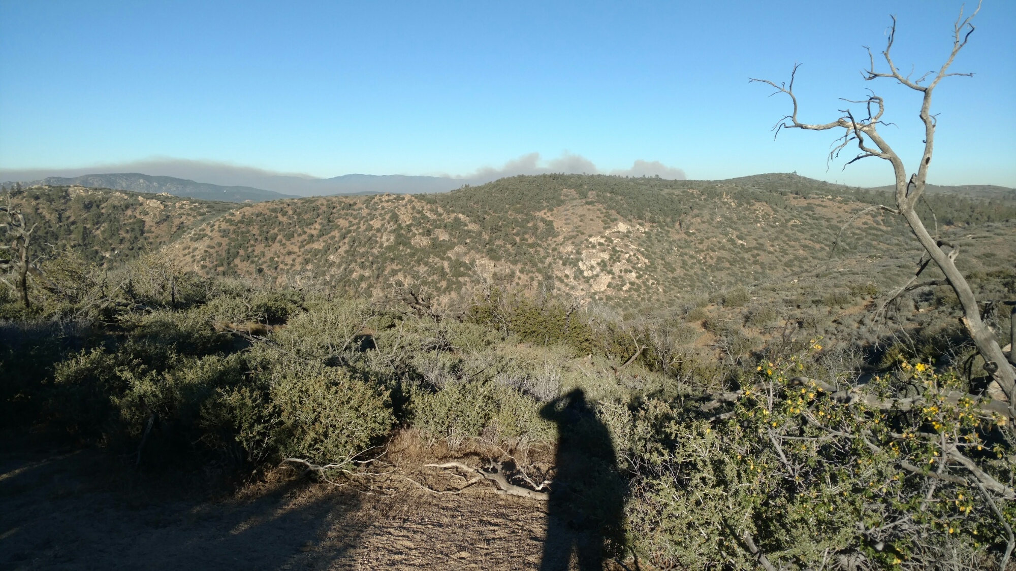
Smoke still fills the next valley to the south of me.


I did not sleep well last night for waking up to look for smoke.  It’s hard to sleep when you know a wildfire is so close.  From about 11 to 2 am the smoke was very thick and had that “doused fire” smell.  I knew they were actively working the fire but had no idea if it was under or out of control.

Either way, I tried to sleep in a little, but I probably got less that four hours of sleep.  I got moving about six o’clock and made the campground by the highway by 9:30.  There was plenty of water there so I did not have to trek to the spring.  Most of the crew I was with yesterday made it all the way here last night and hitched into town.  I had taken enough food to skip this town and go all the way to Kennedy Meadows, so after cameling up and a snack, I set off to hike up out of Walker pass.  It was more desert terrain and a 2000 ft climb.  The wind was not strong, so it was a hot climb up.  I stopped twice for water.

There is still smoke in several of the valleys, but I am away from it now.

Once at the top, I had my pick of campsites over the next few miles.  I wanted to go another mile or two since it was barely after 12 and the breeze had picked up a bit to keep things cool.  As I sat to drink water, I noticed I was almost dozing off.  It was time to find the next shade tree to stop.  There was one a mile away that I was headed for, but only a quarter mile further I found a suitable one.  I didn’t bother to cook, I just laid out my mat and tried to sleep.  The usual sun movement had me waking up every 30 or 45 minutes, so it was not a peaceful nap.  I ended up cooking rice and heading out at 5.  It started out hot, but a breeze finally kicked in and cooled things off.

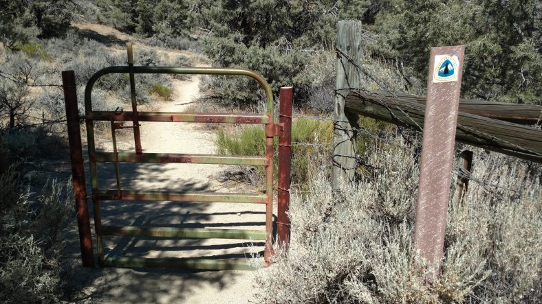
This gate has a complicated latching mechanism. Fancy for the backwoods.

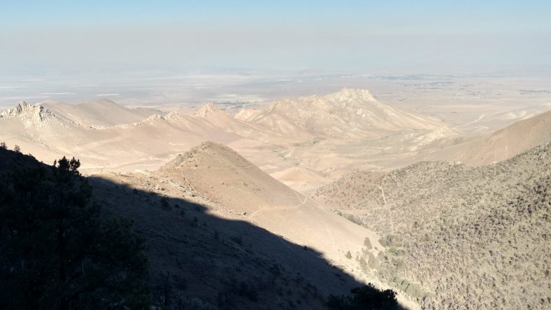
The terrain to the east is nothing but barren desert.

A few hours later I passed two hikers who had made camp for the night.  Apparently the fire just got the attention of the PCTA and they just issued a closure order from Tehachapi to Walker pass.  The last four days of my hike were now closed and I am about to get overrun with hikers skipping ahead.  Oh well.

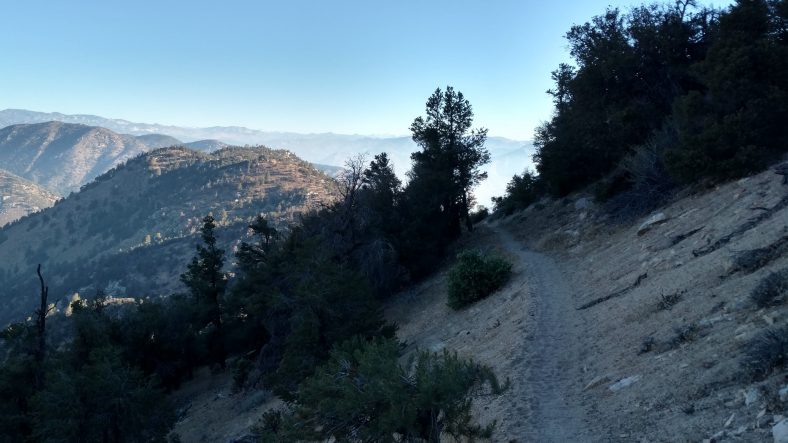
When the sun gets lower, the vistas get better.

It turns out this fire is a pretty bad one.  It has grown to nearly 20,000 acres, and they have six planes and seven choppers working it.  It has already taken 100 structures and 150 more are in danger.

PCT mm 643.7 – Wildfire!

image

A wildfire started in the afternoon during my siesta and I was unsure which direction to head to escape it.


Today was a little different.  It started the same as most of the others.  A pre dawn wakeup, followed by a quick and cold breakfast, and then go hike.  I liked my little one person spot on the side of the mountain last night.  About a half mile up the trail I ran across Breadstick who was packing up and he asked where I camped, I described it and he said he almost stopped there.  Lucky me he didn’t.
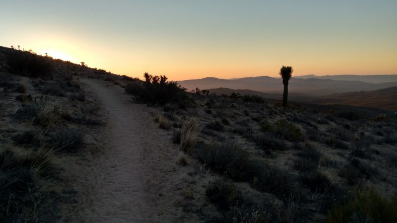
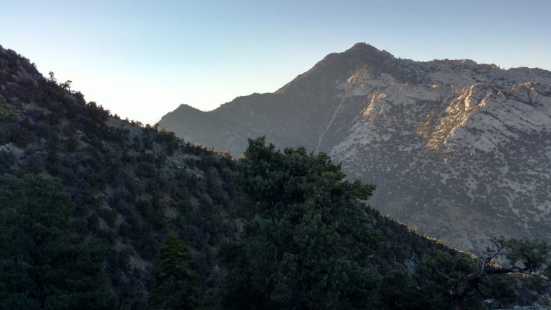
Views like this are why I hike in the early morning before sunrise.

It was eight or so miles to the water cache.  It was quite breezy so I was using my trekking poles and not the umbrella.  But it was starting to warm up by the time we hit the cache.  It was also less breezy.
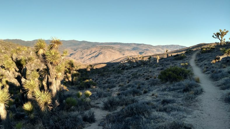
Early morning hiking is still cool and shady as the mountains block the sun until mid morning.

The water cache was awesome.  The caretaker was actually there restocking it when I arrived so I got a chance to talk to him.  He had over 100 gallons of water there, a box full of snacks like peanut butter, tortillas, pop tarts, granola bars.  He also had a solar charger, batteries, charging cables, duct tape, all sorts of things to borrow.  He had little signs all over the place explaining everything.  Quite the spread.  It’s 21 miles to next water and I planned to camp, so I needed to head out with six liters.  Water sure is heavy.  I look forward to the territory where I only need to carry two.
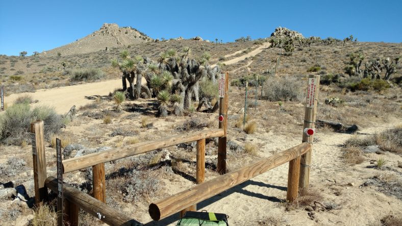
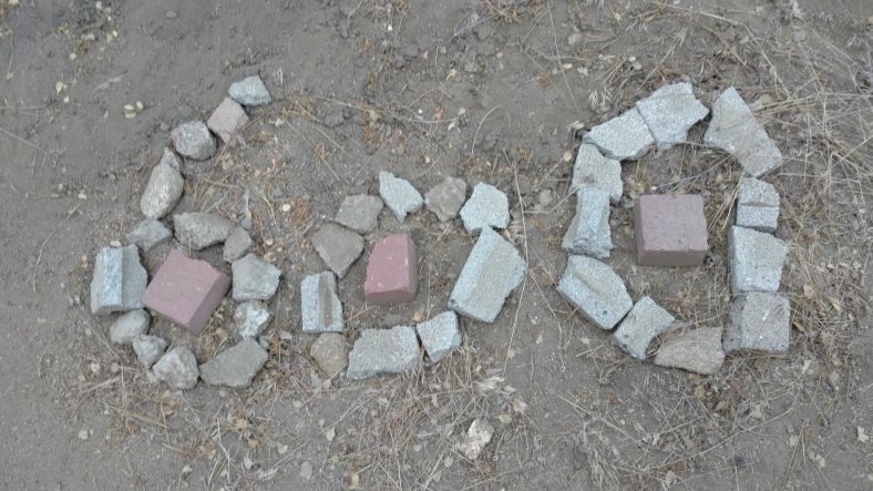
An unusual style in areas where motorcycles are a common problem.

I hiked three or four miles to my siesta point.  I found nice short trees thinking I’d have to move less as the sun moved, but that was not the case.  I ended up moving three times.  I was able to doze off in small spells, though.  I have not been getting enough sleep racing across the desert.
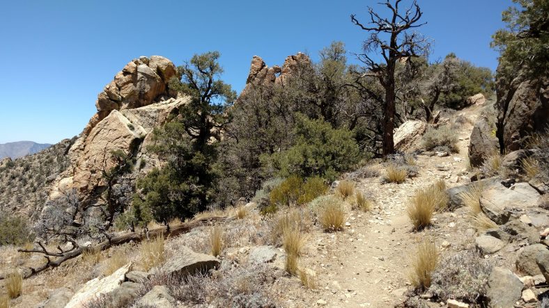
Another day in paradise. Hot paradise.

About 4:30 I awoke to the smell of smoke.  That’s never a good sign in southern California.  I packed quickly and got moving so I could get to a high point and see where the smoke was coming from.  I did not like what I saw.  Smoke was everywhere and getting quite thick.  The wind was blowing 25-30 mph and the smoke was spreading to every canyon.  It seemed to be a little thicker from where I came, so I decided to move forward.
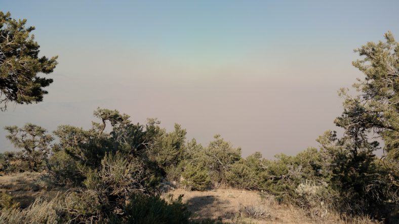
I awoke to thick smoke in every direction.

After about an hour, the smoke was still getting thicker with no clear indication of the source.  I could see a cell tower so I tried the phone and was able to get data.  I looked up the incident page on the forest service website and found the fire that was near me.  It was just south of lake Isabella to the southwest and I was hiking northeast so that was a good move to keep going forward.  At 6 PM it was a 1500 acre fire and they were going to be evacuating residences.

I hiked another few hours and the smoke seemed to clear in the immediate area, but in the distance everything was still thick.

A recheck of the incident page said that the fire had grown to 2500 acres and they had started to post some pictures.  They also closed part of the highway and evacuated four or five towns on that road.  That’s the road at Walker pass, my next destination.  The towns to the left of the pass are all affected, but the towns to the east are still open.  It looks like I have gone far enough North that I am no longer in one of the canyons downwind of the fire.

I decided to make camp as planned, about eight or nine miles from the next water and the highway. As I was cooking dinner, another hiker arrived and started asking about the fire.  She was also awakened from her siesta by the smoke only a few hundred yards from where I was.

During dinner, we noticed that we can actually see a red glow in the direction of the fire.  They are actively dumping water on it and each time they do, it makes a huge smoke and steam plume that reflects the glow of the fire.  It’s kind of creepy and kind of cool at the same time.  I know the fire is twenty miles away, but it looks like it is only two miles away.  If I had not read the incident report and only saw the glow, I would be heading on to get out of here, but I need the sleep badly.  I can see it from my tent so I will be keeping an eye on it all night long.
PCT mm 621.0 – Trees go bye bye

image

I knew I should not have gotten so excited about the trees yesterday and today.  They end tomorrow.  I woke up fairly early and got going at 5:45 with only six miles or so to the spring.  I only ate one bagel and intended to eat the other while loading up on water at the spring.  I never did eat the second one.

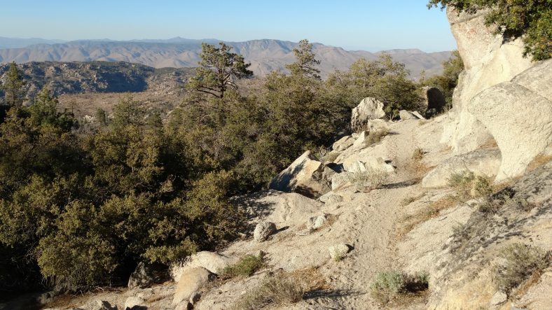
There is always a great view on the PCT.

Another milestone today as I passed the 600 mile point.

The spring was nice.  It had a very good flow of about 4 liters per minute.  I only had seven miles to the next water, so I did no need very much.  I think I took 3 liters.  Over the last four days or so, I had not seen a single hiker.  Not today.  I think I saw eight new hikers and one repeat from a few days ago.

The hike through both springs was nice.  Mostly shaded by large ponderosa pines and a few oaks here and there.  When I got to the second spring, I was amazed.  It had a pipe flowing well over twenty liters per minute.  And it was ice cold.  It drained into a split barrel trough.  I think during the noon to five siesta, I drank four liters just right then and there.  And there was lots of shade via tall ponderosa pines.  The problem with tall trees, though, is that their shade moves on the around quite quickly so I had to move around a lot.

I ate and snacked on anything I could get my hands onto.  Day two of summer sausage and cheddar pitas.  I don’t have alot of variety of food on this stretch, so it’s getting a little boring.

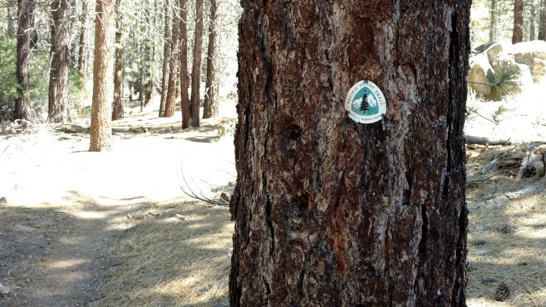
Markers like these line the PCT every five miles or so.

Most of the folks headed out around fiveish, me included.  It was a little warm when I left at 5:30 but the umbrella helped.  Not a mile past the spring, we went through a burn area, so there were very few trees.  And as we descended off the mountain to the next pass it turned to desert again.  Boooo.

Just before dark, we hit a water cache at a road and two thirds of the crew congregated there again.  I had developed a headache after leaving the spring.  I am certain it was not dehydration and suspected it was MSG.  I dug out the label of the local brand of nacho chips (Tacquis) I had finished off at lunch and sure enough, MSG was about the tenth ingredient.

I was not feeling very gung ho with the headache and not energized.  I saw another hiker making coffee and thought I might give that a try since I had been carrying coffee since Mexico and had not made any yet.  One Bustello pouch in a cup of water with a teaspoon of honey and that did the trick.  Tasted good and gave me a little more motivation to keep going now that it was full darkness.

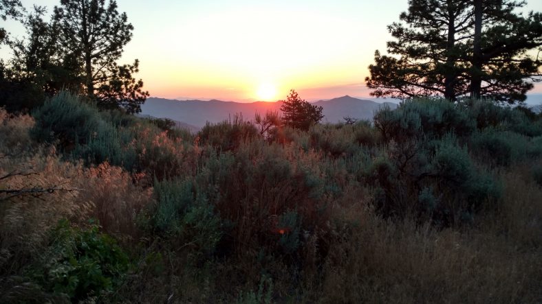
Never a shortage of sunsets on the PCT.

I hiked until about 11:15 PM so that I could be a perfect striking distance to an area that the Guthooks app’s pictures showed had trees and shade.  I found a nice little level spot under a pinion pine that was big enuf for me but not big enuf for the tent.  So I laid out the tyvek tarp and the pad and sleeping bag and slept right under the stars.  I hung all the food bags in the trees and slept really well all night.  My first night on this trip cowboy camping and I liked it.  There might be more of that coming….