
The Kettle Moraine State Park is made up of five independent Park units. I know I have gone through at least two so far but possibly a third. The park establishes a large collection of glaciated features in the region.
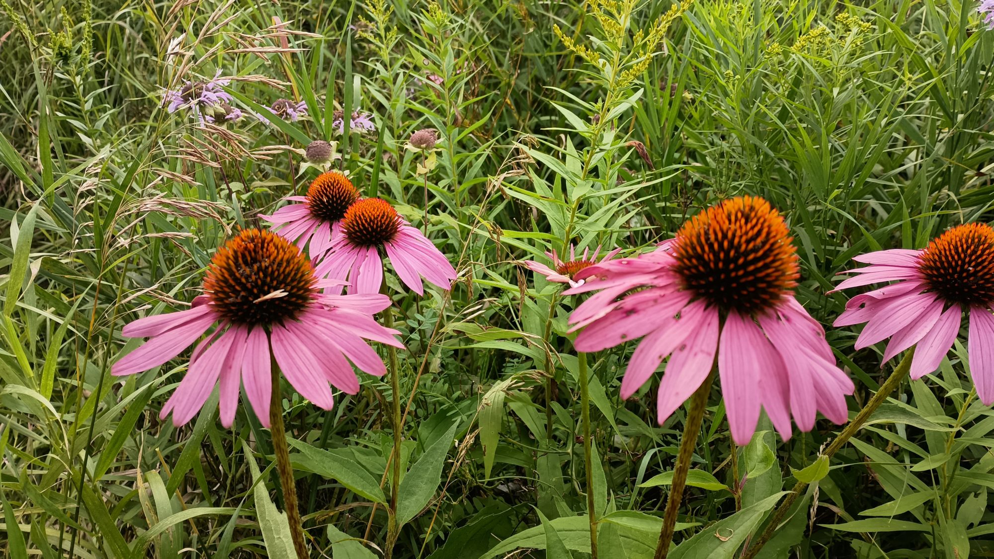
The two most common features that I see while hiking are eskers and kettles. Eskers are linear mounds of sand and rock sediment formed as glaciers begin to melt. Streams form at the bottom of the glaciers and all of the sediment was deposited by those streams. When the glacier melts away all you are left with are these mountains of sediment of ancient strain beds.
Kettles are where large icebergs break off from a glacier and get mixed in with the surrounding soil. When everything melts the huge hole left by the iceberg forms a whole called a kettle. They may turn into a lake or they may remain dry. All of the lakes I have been passing were formed by kettles.
I wanted to get up as early as possible today but I accidentally overslept a little bit. Good sleep is better than no sleep so I’ll take it. I am fed and packed up and walking at 7:00 a.m.
Today is very cool and breezy. The weather app says it is 53°, but I am not cold at all. Best of all the mosquitoes can’t really find me in the strong winds. I think today will be an outstanding day.
My destination for the day, however, is uncertain. There is a shelter at about 20 miles which would leave about 10 MI to where I could potentially get the hotel. There is also a dispersed camp about 5 mi later which would cut the distance to town in half. The problem with either of these as a destination is I will have to kill time tomorrow to wait until I can check in.
The other two options are to either hike the entire 30 mi distance today, or bypass the hotel and keep going tomorrow. The camping options past the town are not great. And after the last two really hot days I am in need of laundry. I will push the morning to get to the shelter to see what time it is and decide then if I should try to make the entire hike in one day or not.
Since this is a state park I can occasionally find signage that explains look glaciated features that I’m hiking on. The guide book has verbal descriptions of them but I can’t really piece together how they actually work. But the signage with pictures makes it very easy to understand. Yay State Park rangers.
I have several water source choices today and they are all streams and a few hand pumps. The first dream that I come to is really easy to access from the bridge. I just have to lean over and scoop up the water. It is also cold and clear which makes it more palatable. Even though it does have a slight earthy flavor.
The hand pumps are not great sources of water. They take 12 to 15 pumps to even get the first bit of water out. They either trickle out a stream like a water fountain or if you pull up a lever it will dump the entire amount that you have pumped up into a spout where you can collect it. They are very convenient but the water tastes extremely iron metallic. So much so to the point where you don’t want to drink it.
The morning goes by quickly, but I am definitely hiking this lower pace. It’s not a consistent pace because the trail isn’t always going up and down but there’s enough interjected in the level Trail that I can only estimate I’m a little over two and a half miles an hour.
I stopped for lunch at the park that has pit toilets and running water if I want to hike a half a mile to the beach area. I am fine with just sitting on the picnic bench and then moving on. If I am going to hike the full distance today I can’t lollygag in a park area.
I reached the shelter just before 4:00 p.m. which is exactly when I expected. There is another hiker that dropped their backpack here and it’s off in the woods gathering wood. There is no flat ground around here to pitch a tent so I’m definitely not staying. I stopped long enough to grab a snack and make a cup of coffee. The other hiker never even knew I arrived, ate, and left all while they were out in the woods.
As I hike past the shelter the next two or three miles have plenty of places to camp. So if I want to stop today I easily can. But it seems so early and I do have time to make town by 7:30 which is still an hour before dark. I am rejuvenated by the coffee and the snacks so I decide to just keep going.
It is not long before I reach the official dispersed camping area. The campsite is horrible so I’m definitely not staying here. The trail has been going through private property for at least the last 3 miles. So if I did want to camp here this is probably the only spot. I’m still on schedule so I keep going.
After less than a mile further, the trail gives way to a road walk. It’s about 2 miles to rejoin more trail section that leads into town. I am 25 plus miles in for the day at this point but at least the road walk will quicken my pace.
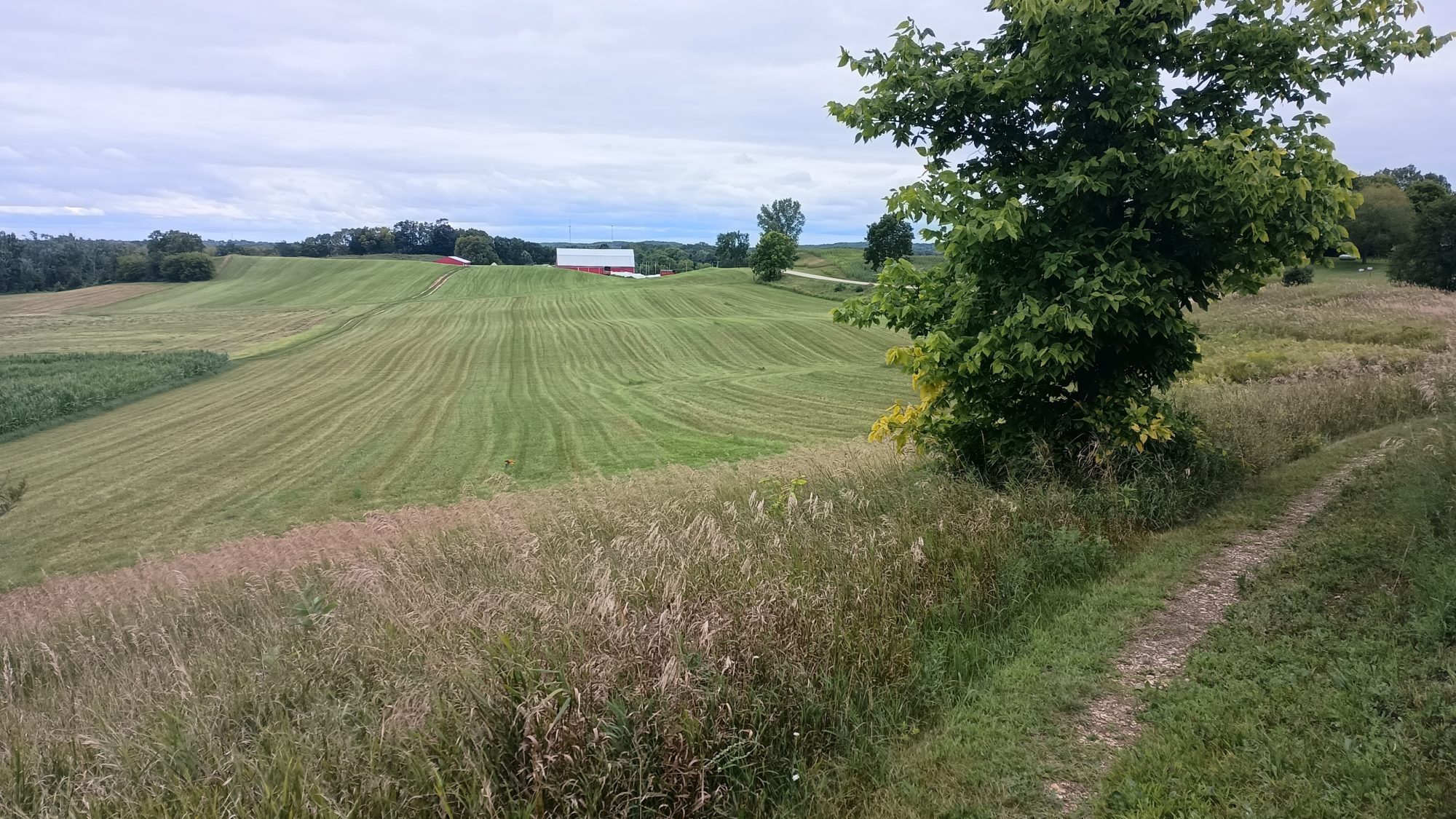
The road winds through small homes and there are some corn fields. It has a more homey feel than the previous large road walks. I am enjoying myself so much that I don’t realize when I pass my turning point. When I come to the next intersection where I think the trail turns I find out that I’m already a half a mile past the turn. This is in addition to missing a turn a few hours ago that cost me a quarter mile back track. I don’t need another half a mile backtrack.
After looking at the map, I see that the trail probably went down power lines. The trail was so straight I assumed it was a road. No matter, if I keep going forward I will hit another road that will intersect me with the trail within a mile. After this mishap my extra mile of road walking probably replaces 2 miles of trail walking. Oh well.
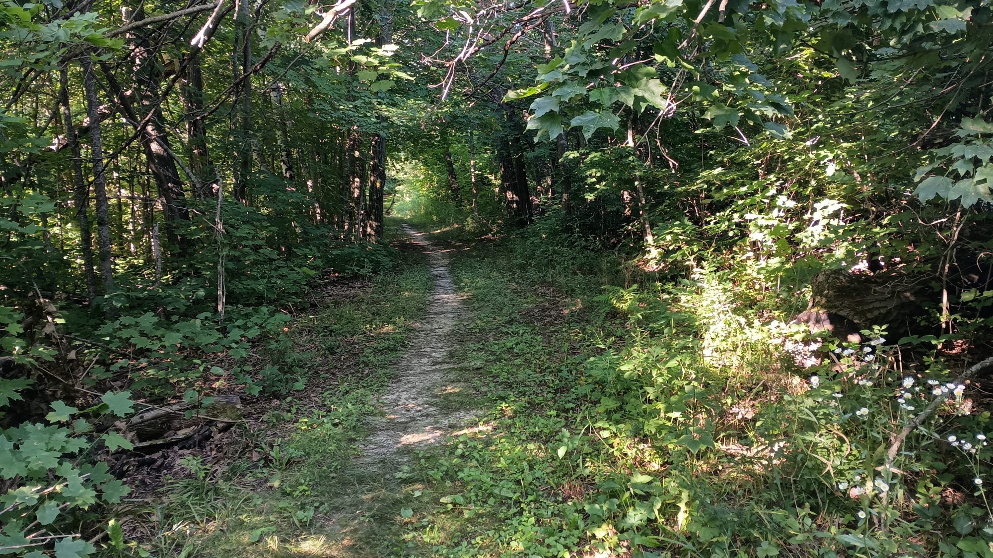
Once I rejoin the trail it heads straight up a really tall esker. Back to slow speed again. But I still have time to make town well before dark. The last mile and a half of trail go quickly. And before long I’m descending off of the escrow and I can see the town ahead of me. Best of all I can see a Culver’s restaurant right where the trail lets out. Dinner is served.
The hotel is only two blocks away, but it is only about 15 minutes before dark at this point. The combination of just eating and having your blood surged to your stomach, the cooler temperatures from the Sun going down, and the breeze blowing pretty strongly, make me shiver pretty strongly as I’m walking the two blocks to the hotel. I’m not really that cold but I am shivering pretty badly. So I just lean into it and exaggerate the shivering just to have something to keep my mind occupied.
Once in the hotel, it’s shower time and laundry time. It does feel weird staying in so many hotels, but the high humidity and hot temperatures of the last few days make hiking and olfactorily unpleasant experience. Hiking on the west coast in the dryer climate is definitely a different experience.
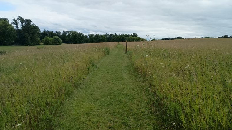
The weather today was perfect. The strong breezes helped dry out the grass but the lack of Sun also slowed it. My feet were wet the first two hours which is expected. It was nearly all trails so that was good. All in all it was a pretty good day despite the length of it.
Emotion of the day, Uncertainty
I had so many options today that it was mind-boggling. It was both exhilarating and unnerving at the same time. It was anything but boring.
I did a 27 Mile road walk a few days ago out of necessity. Doing 30 miles today was completely optional. I wouldn’t normally want to go that far so early in the trip but my body kept telling me that it was okay with it.
I was uncertain that even trying this long of a day so early in the trip was a wise thing. For today it seems like the right choice. Let’s see if tomorrow agrees.
Recent Comments