
I set my alarm for 5:00 but that was way too early. It’s nowhere near first light at 5:00 a.m. anymore. I waited until 6:10 to start hiking because it was just light enough to hike without a headlight at that point.
It was just a few tenths to the parking lot and then a half a mile to the main road. It’s still dark enough that cars would have a hard time seeing me so I have my flashlight in my hand to turn on if a car does come.
It’s a half a mile up the road to the Salisbury Campground where I considered staying last night. I can see an outlet at the front of the building so I go ahead and start charging both my phone and my battery. In the meantime I look for a water faucet and find one on the side of the building. The water tastes horrible so I only fill up one bottle. I will dump this if I find a better source but it’s better to have than not.
I sat on the front steps for about 20 minutes letting my phone charge up. I only got about 10% extra power, but that will have to do for now. The phone is at 58% and the battery is at 4%. I will still have to conserve energy but hopefully I can charge up when I get to Weyerhauser.
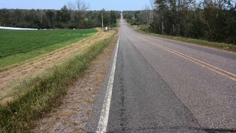
This road has a moderate amount of traffic. Perhaps one car every 2 minutes. I’m only on this road for about a mile before I turn onto smaller roads which have very little traffic. I like the smaller roads because you can walk pretty much wherever you want to.
The road passes by a county park that has already closed for the season. They closed on Labor Day. That seems kind of early to close a park for an entire season. As I passed by it looks like it has great facilities. Too bad. I know from the comments that the electricity and the water will all be turned off, so I don’t even bother going up there.
After a while some houses start to appear on the right side of the road. This is the side where a giant lake is. So these are all lake houses and some of them are pretty nice, while some of them are kind of shabby. It seems like a nice place to have a cabin in the woods on a lake.
I went to bed with a slight headache so I took one aspirin when I went to sleep. I woke up with a solid headache so I took two aspirin before I started hiking. But by 8:00 it’s throbbing pretty good, so I go ahead and drink my coffee. And by 10:00 it’s just ruining the whole day.
I think I need my patented curl up on the side of the trail and sleep for 20 minutes technique to knock this thing out. I start looking for animal trails leading off into the woods to an area that looks like it has some sunshine. I would like to sleep in the sun because it’s pretty cool outside and my hands are wishing I had my gloves on.
As the road curves I can see there are a telephone lines cutting across a field and I can see an animal trail leading right to it. I sneak on down the trail and find a nice wide spot in the sun that’s low enough that you can’t really see me from the road.
I dropped the pack and curl up leaning against it with my visor pulled over my eyes. I never really fell asleep but I’ll be darned if 20 minutes later I wasn’t feeling a heck of a lot better. I let myself have 30 minutes there before getting up and moving on. I now have a lot more energy and a lot of pep in my step as I cruise on down the road at full speed.
A lady passes me on a bike and asks if I’m hiking the ice age trail. I’m proud that she knows about it. After a while I come to an intersection of a busy highway. I wasn’t expecting any busy highways today, so I check my app to see what road this is. To my dismay, I can’t find this road crossing the trail. To my horror, I discover that my blue dot is nowhere near the trail.
I was not supposed to curve back at the spot where I took a nap and I’ve been hiking for a mile and a half in the wrong direction. There’s no way out of this one, I need to backtrack. So not only have I lost a half an hour due to a nap, I’ve now lost a full hour due to going the wrong direction. And today I can’t spare any extra time at all.
I do find another road about halfway back that will intersect with the trail and save me about a quarter of a mile of my mistake. And I like this road, too. It’s a dirt road that goes through farm country.
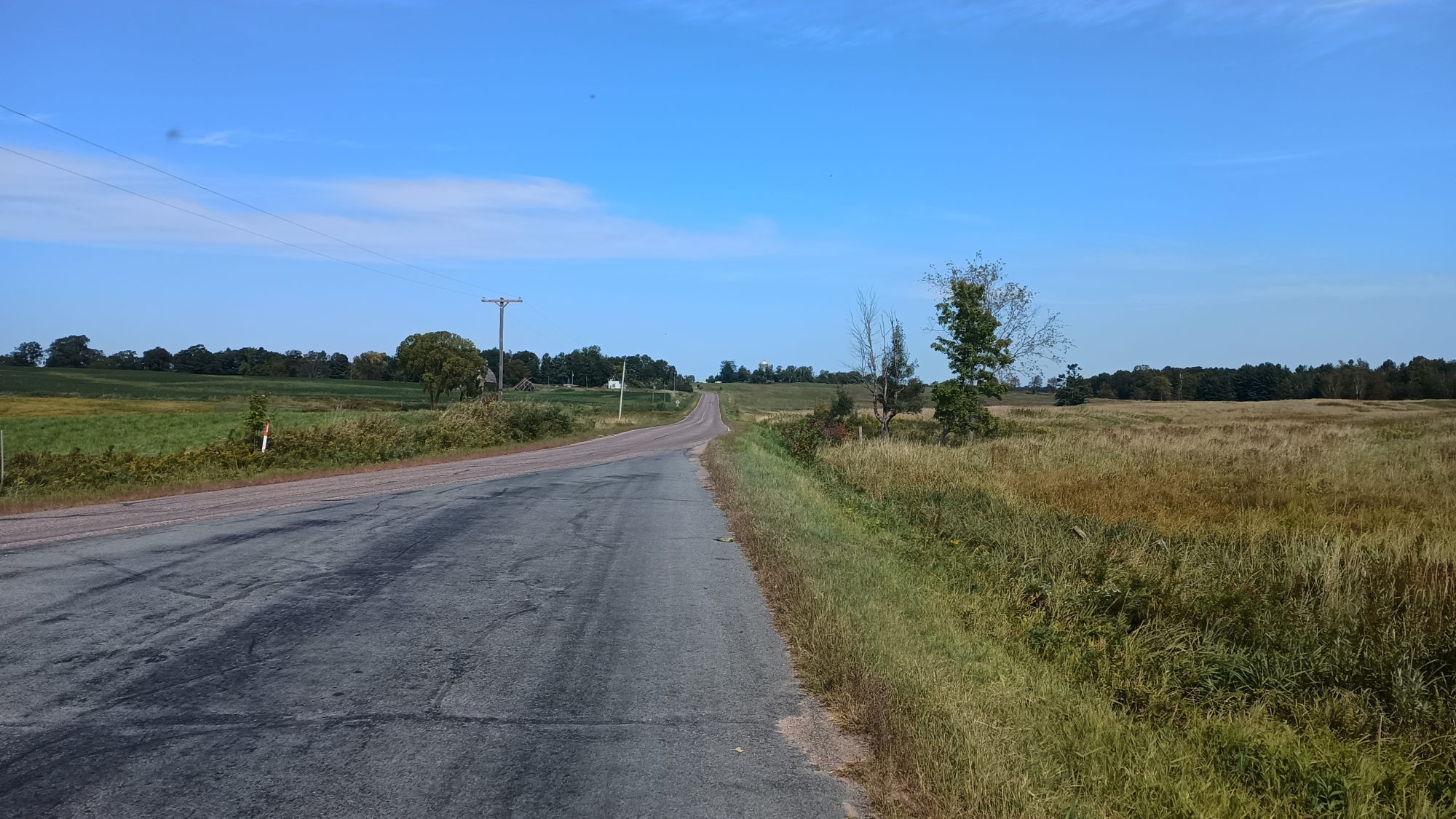
About halfway up the road I see a telephone pole going to a spot on the side of the road that has a bunch of weeds but no building. I begin to think to myself that probably used to be a house. And if there used to be a house there, I bet they have apple trees. And sure enough there are three apple trees in the front yard and one of them has bright red apples on it.
I make sure no one is coming from either direction and head up to the tree. The apples are too high to reach, but if I shake the tree gently, I can get one or two apples to drop at a time.
I taste one and it tastes amazing. It is a slightly softer flesh like a red delicious but it is very sweet like a honey crisp. I end up shaking six of them off the tree and stuff in my pockets and head on down the road eating apples. This lifts my spirits more and I get even more pep in my step in addition to some nutrition and some hydration. I am becoming a huge apple fan.
It is almost 12:00 before I’m back on the right connector trail. I still have a while to go to get to Weyerhauser, but I should get there at around 2:00. That’s a perfect time to have lunch. I know at least one, if not two, of the restaurants will be open at that time.
The road comes out to a slightly busier road that has almost no shoulder. Cars come every two or three minutes and when they do I usually have to just walk completely off the shoulder into the ditch and wait for them to pass. I have at least 3 miles on this road so it may take a while. The funny thing about long distance hiking is that 3 miles can go by before you realize it.
After hiking this road for about a mile, I can see a water tower off into the distance. I am certain this is going to be downtown and where I am headed for lunch. But it looks 10 miles away instead of 5.
The last turn towards town takes me down another dirt road. The only traffic I see here are dump trucks heading off to some place to load dirt. They don’t bother slowing down on the road and they kick up a lot of dust. I have to step off the road and wait 30 or 40 seconds after they’ve passed for the dust to settle enough to keep hiking.
At last I can see the highway leading to town. There seems to be a side road parallel to the highway, so I don’t even need to walk the highway to get over to town. I make my way up to the restaurants first. There is one called the farmhouse that looks the nicest so I head there.
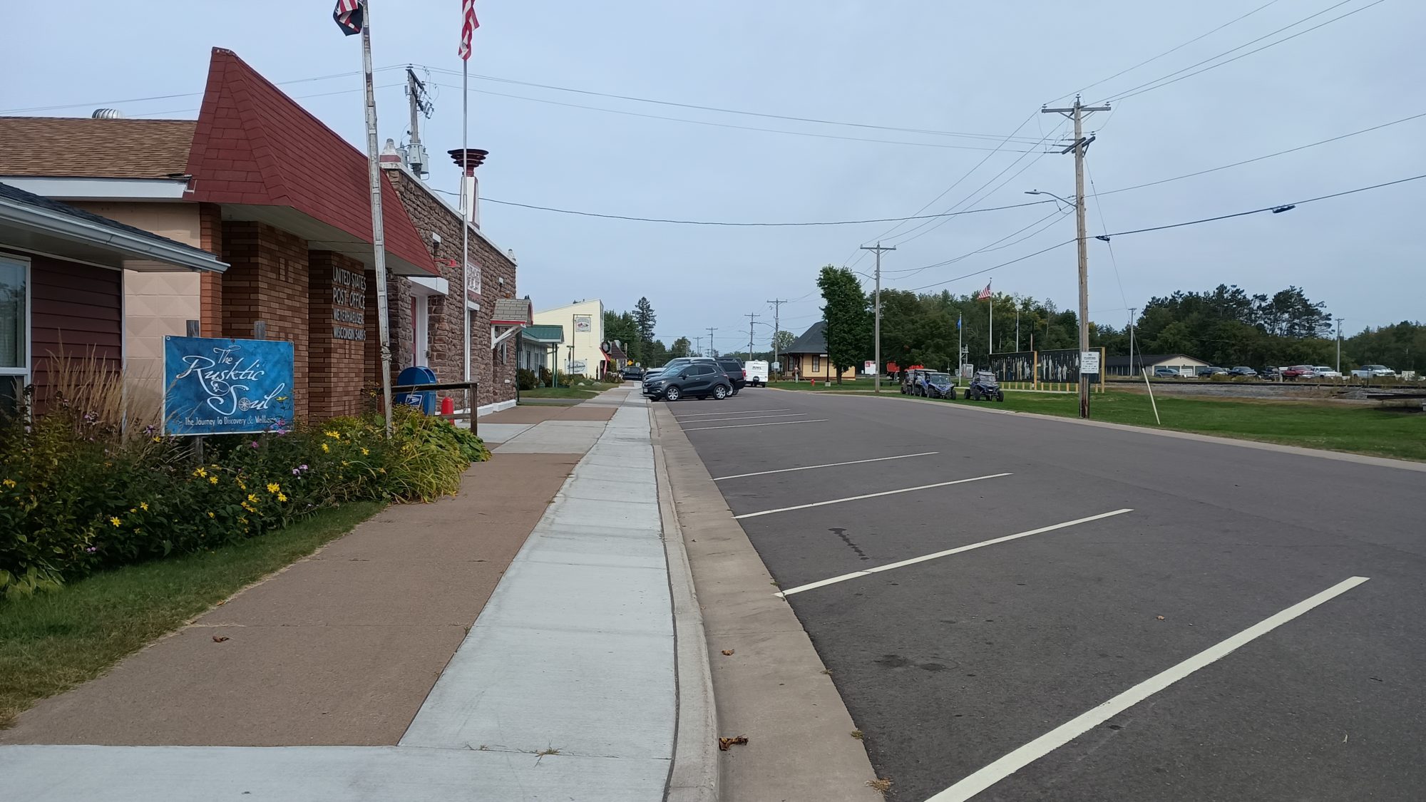
When I get a table the first thing I do is ask if I can charge my devices and they say sure. Then I discover another mistake. When I was finding a route back to the trail after my next turn I had to turn airplane mode off to let Google navigation find my route. Apparently I never put it back into airplane mode, so my phone was down to 23%.
Without this restaurant stop I would not even be able to finish the day with this little power, let alone make it to the next town tomorrow. I need to stay here a minimum of 1 hour to try and charge to about 80% before I can leave.
I had a cod sandwich and something called cowboy bites. They are cream cheese, jalapenos, bacon, and corn rolled up in a ball like a hush puppy and then deep fried. They are pretty good but not six for $8 good. Since it is coffee time I decide to go ahead and have a Coca-Cola as my caffeine for the afternoon.
I leave my pack and devices there charging while I run to the convenience store to get something for dinner tonight. Since I’ve lost so much time it’s probably going to be a hike until dark, so I don’t want to have to bother cooking in the dark. So a pre-cooked hamburger and a donut it will be for my feast tonight. And a Dunkin’ donuts coffee for the morning.
Back at the restaurant, my phone has been able to charge up to about 70%. And my battery 35%. This is enough to get me to Birchwood tomorrow. I’ve been here an hour already, and daylight is burning.
I now have a 3-mile road walk out a tiny road to take me to a new trail section. The trail starts out going right through a cow pasture. It reminds me of some of the pastures on the Appalachian Trail in Virginia.
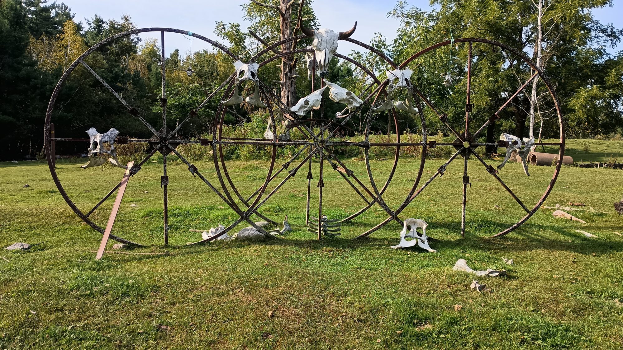
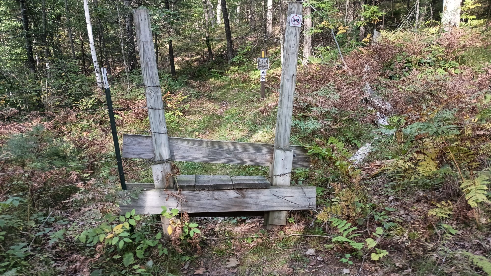
There is an odd looking sculpture with cow skulls all over it so I can’t resist taking a picture. Since this is the first pasture we’ve hiked through, it’s also the first styles over fences we’ve had to climb.
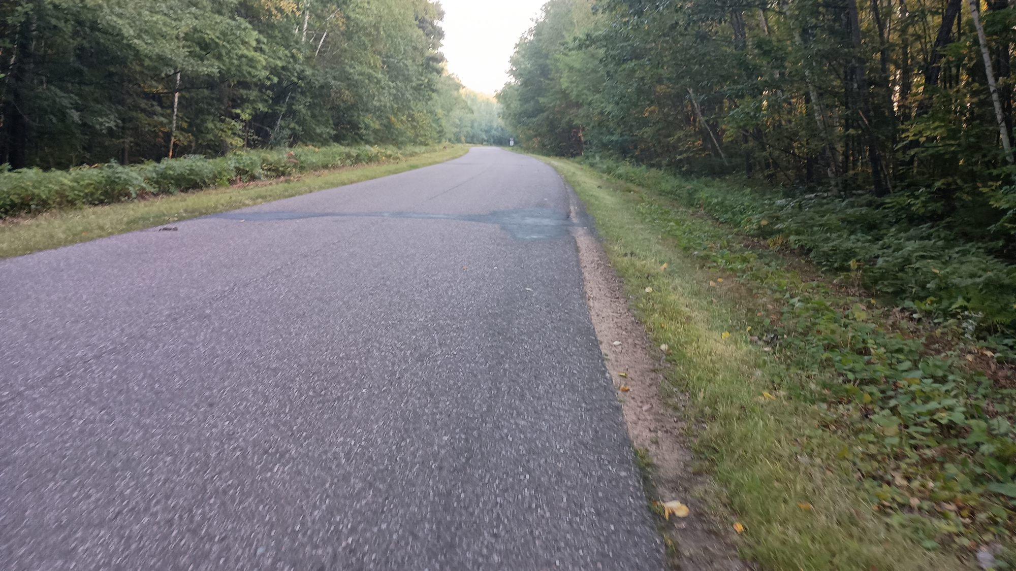
After about 2 mi of pasture, we are back to just woods again and the trail mixed with single track and double track the entire time. There’s an official campsite on a lake made by a beaver dam and the campsite looks well used by locals. There’s even a boat sitting in the campsite. I’m not sure I would want to stay here.
The Beaver dam is leaking as usual, and the trail is really muddy. So I go back to the campsite and find some downed logs to build an impromptu bridge over the mud. I am able to find some rotten ones that are fairly lightweight but very large and they work perfectly to cross the mud.
I have to take one more break around 6:00 because I am really tired. I think maybe the Coca-Cola wasn’t enough caffeine, so I drink about a third of my Dunkin’ donuts coffee. And to my dismay I discover I have bought French vanilla instead of original. Who thinks these things taste good? It’s just too much flavor that doesn’t belong with coffee. Either way it does its job and within 10 or 15 minutes I have enough energy to hike full speed again.
And I need the energy because the trail goes up and down quite a bit. It’s definitely a lot slower than the road walking. I am due to hit the end of this section right at 7:00. I know that it will be dark at 7:40 and I know that I have about 2 mi of road walk plus trail to get to the creek where I am targeting. So I can either stop short while I am – still in the public lands and just stealth camp somewhere, or I can keep going and get to my desired site after dark. I haven’t done any night hiking yet and my plan was to hike a full 30 miles today so I decide to go ahead and keep going and just hike in the dark if I need to.
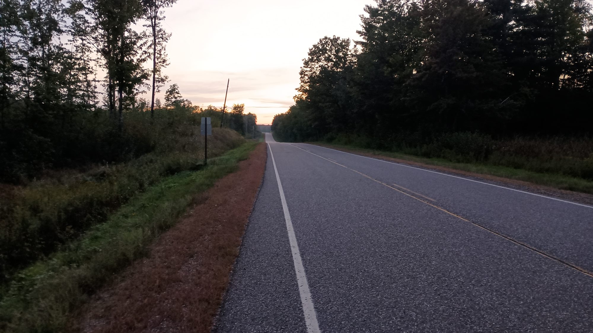
The last bit of trail is a dirt road which is quick hiking. Then the 1.4 miles road walk comes and I can see the sunset happening off to my left, tinting all the clouds pink. It’s light enough I don’t have to use my flashlight to alert cars but I have it in my hand just in case.
By the time I get to the last little section of trail, it is still light enough to hike without the flashlight. But I have to hike a little slower in case I hit a root or a rock. I find one little grassy spot about halfway to the creek which is my target. It is literally right off the trail and it has a birch tree hanging over it. The dead birch limbs in the middle of the spot tell me I shouldn’t actually sleep there, so I keep moving.
Before long I am at the creek and it looks like I might actually find some spots down here by the water. I go ahead and cross the bridge and it looks like I can see an opening between some white pine trees. I sneak back in there and do find a pretty decent spot to pitch a tent.
It is 7:41 at night, it is almost dark, and I’m at my home for the evening. There are mosquitoes around, so I pitch the tent with my flashlight, then dump every thing inside the tent and jump in and zip up.
I am really hungry by now, so the first order of business is to eat the hamburger. I packed out mayonnaise ketchup and mustard, but to my dismay both have the bun stuck to the burger, so I can’t separate it without destroying the bun. So I just squirt bite-sized blobs onto the side of the burger one bite at a time.
Despite being cold, it tastes pretty good. The donut is not quite as good. I got a sugar covered one instead of a glazed one thinking that a glazed one would get squished and stuck to whatever it was packaged in. Even so, a chocolate glazed donut would taste way better than this thing. I fixed my mistake with a few almond M&Ms.
Now it is time to change into my sleeping clothes and get the bed set up so that I can begin my nightly chores of blogging and see how much sleep I can get tonight. I have 18 mi to go tomorrow, 12 of which are on trails, and then six are roadwalking. I will try to get rolling by 7:00 and that should get me into town well before 5:00.
Emotion of the day, despair
Emotion of the day, Despair
Even though I woke up early, it turns out it was probably too early to be effective. I didn’t want to be road walking in the dark. So I could have slept another 20 or 30 minutes.
Charging and getting water at the campground was a good call, but 20 minutes wasn’t enough to really make any difference. So that was probably 20 wasted minutes, other than getting water.
Having a headache for the first half of the day made the morning road walking kind of miserable. The 30-minute nap definitely fixed things, but it ate 30 minutes of my schedule.
Then missing the turn and going a mile and a half in the wrong direction really set a bad mood. I felt then that so many things were going wrong that there’s no way I could actually reach my destination. Especially since I knew I would probably have to be at the restaurant at least an hour to get enough power into my battery to make it to the next town.
And then finding out that I forgot to put it back into airplane mode and it was burning extra battery for the last 4 hours really had me down. Without the town stop at the restaurant that one mistake would have made tomorrow absolutely miserable.
A lot of things went wrong today. But enough of them went right for me to be able to make my campsite right at dark. So I guess the day was success, but it didn’t feel successful at any point during the day.
Recent Comments