
Despite having a long day today I was a bit lazy this morning. I did not get out on the trail until 7:15. It should have been more like 6:30 or 6:45.
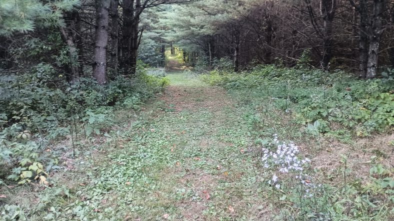
Now begins the game of “did I pick the right campsite?” for the next hour. The trail is very open, covered in grass which is soaking me quite thoroughly. There are still aspens all over the place and I wouldn’t call these grassy areas meadows. They are just areas where the trees haven’t overtaken yet.
But one thing that has overtaken is the beavers, of course. It seems like there is a beaver pond every half a mile or so. And every one is the same. The level of the pond is 2 ft above the surrounding ground, and the ground oozes mud and water around a thick and lush layer of grass.
But I have my secret weapons now. I have brand new shoes with excellent tread. Even on muddy grass they find good purchase and I am not slipping at all anywhere. But my brand new shoes are soaking wet and getting a little muddy. Better the shoes get muddy than my forehead get muddy or meet a rock.
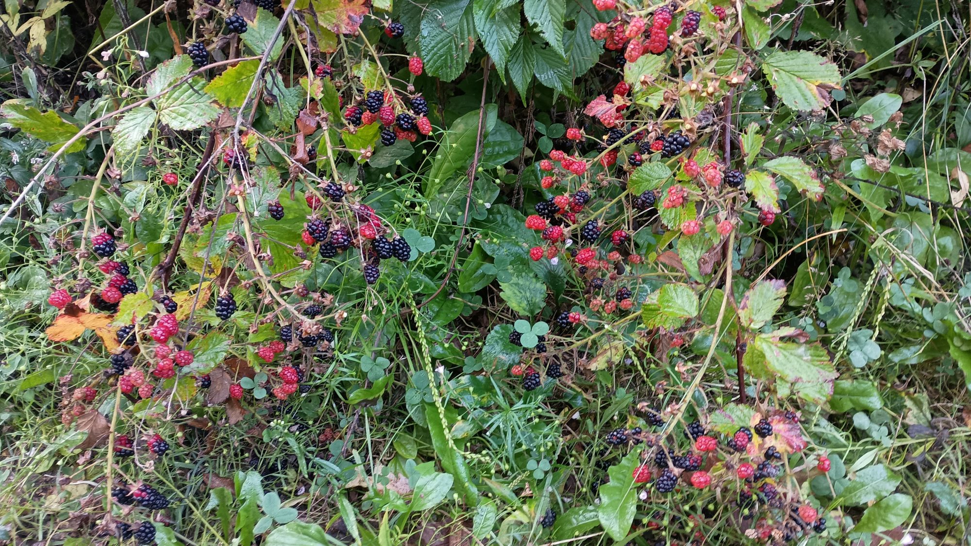
One thing that makes being wet better is the fact that the blueberries are still pretty heavy in this area. There are plenty of vines that are empty and vines that have dried up blackberries on them. But there are also plenty that have ripe and unripened berries on them. The best flavor comes from ripe and only half ripe ones. The half ripe blackberries had just a small tang to the sweetness of the ripens.
I am almost out of water so I need to find a place at a good size lake that won’t taste like beaver butt. By 9:00 I find a nice big lake that has a real easy trail leading right to its edge. The water is pretty clear to begin with and when it filters it’s almost tasteless. I will score this one as a win.
Less than 30 minutes after filtering water I come across another through hiker with a dog. This one is Melissa and her dog is Daisy. This is her first through hike and she is in her first week and still her first hundred miles.
Apparently she started with two dogs but had to send one home after it developed some sort of sprain. This one looks very anxious and is whimpering gently. I don’t think Daisy is enjoying the trip very much.
Melissa was asking me questions about how to deal with certain things about hiking and camping. The one thing that seemed to concern her the most is having to put on wet smelly clothes in the morning. She asked if there was anything that could make this part of the hike better. I told her in as many years and as many hikes as I have done, as long as you are on the East Coast where there is humidity then this is the price you have to pay. Going west of the Rockies is the only solution to this problem.
We went on our way and after 20 minutes or so I thought to myself that I should have offered my cell phone number in case she had any more questions. This Trail is not an ideal first through hike since it is so isolated. If the Appalachian Trail is your first hike you will have 20 other people around you to help you out. But she may go a week without seeing another hiker.
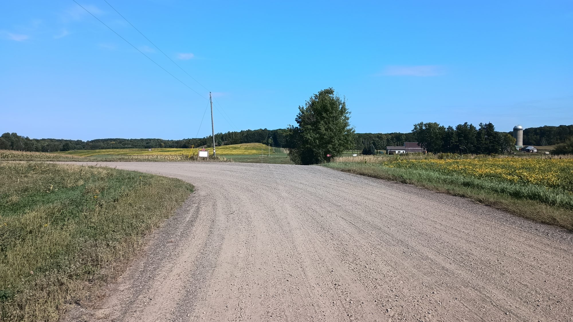
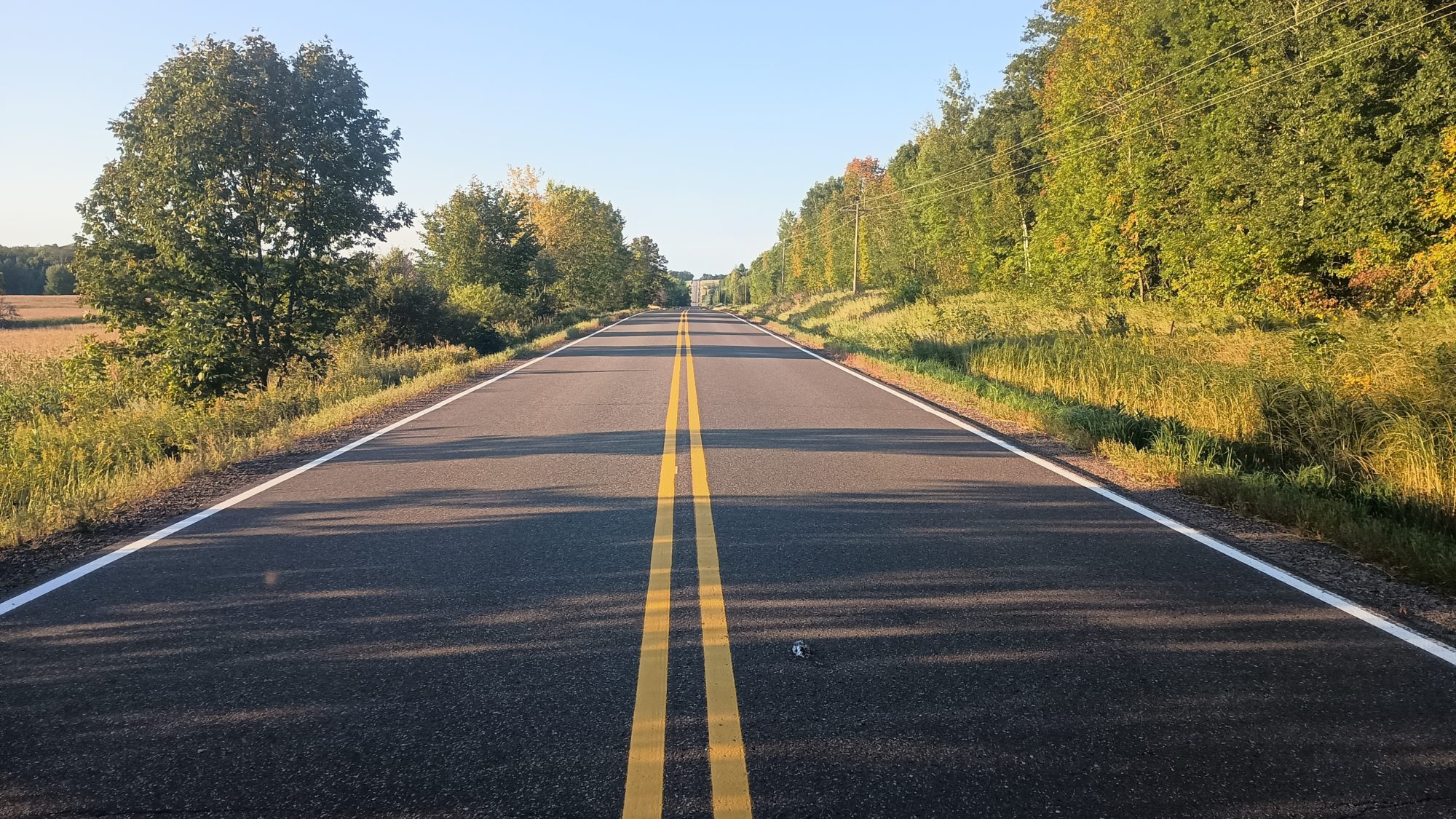
There is, of course, more road walking in store for today. This next section is on some very isolated back roads through farm country. I don’t think I saw a car the entire road walk. I did see one big tractor though.
As the road crossed the highway, there was the opportunity to go one and a half miles down the highway to some restaurants. It is mid-morning so there’s no point in taking the extra miles since my target is 30 miles for today. Besides I will pass you the town of Haugen in a few more hours.
This next section is through ski trails. From the map it is hard to tell if it will be 2 miles or 15 miles worth of ski trails. It doesn’t really matter, miles are miles.
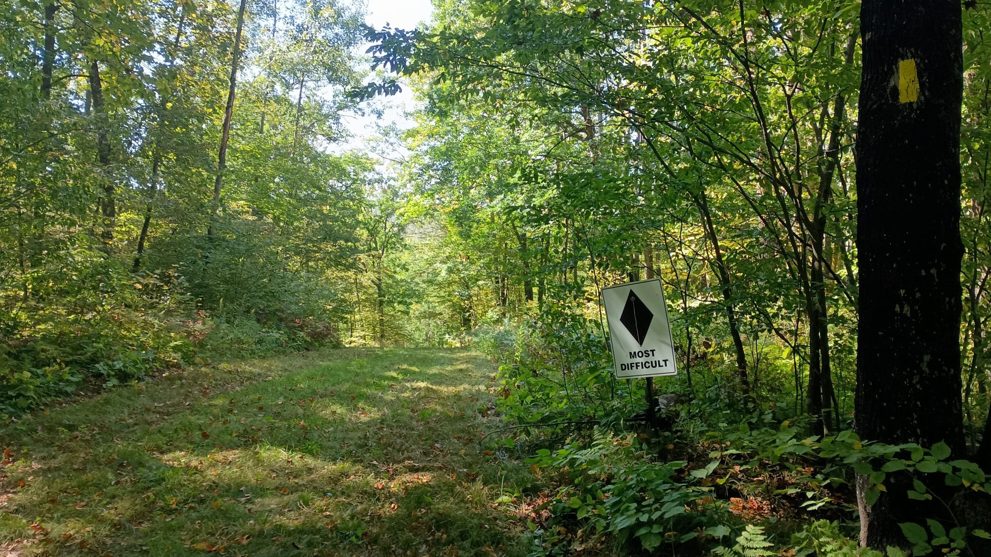
These ski trails are cross-country ski trails. They are very wide but have lots of up and down hills. They are graded like downhill ski slopes in that some of them are labeled moderate and one of them is labeled Black diamond difficult. I couldn’t really tell what made the Black diamond more difficult other than maybe it was 10 or 15 ft higher than the others. Maybe it looks completely different in the winter time when it’s covered with snow.
The ski trails finally came out to a parking lot and I saw a crew of people working on some sort of project. From their shirts they were the Wisconsin Conservation Corps. They had grinders and Sanders out grinding and sanding very large dead tree limbs. What they were doing looked more decorative than functional. They didn’t really acknowledge that I was even there so I just kept on walking.
The ski area was much larger than I thought. I entered the ski area about 11:00 a.m. and didn’t exit it until nearly 4:00. That is a lot of miles on ski slopes. It wasn’t difficult walking but it did slow me down having to go up and down so many hills. Thank goodness they weren’t New Hampshire hills.
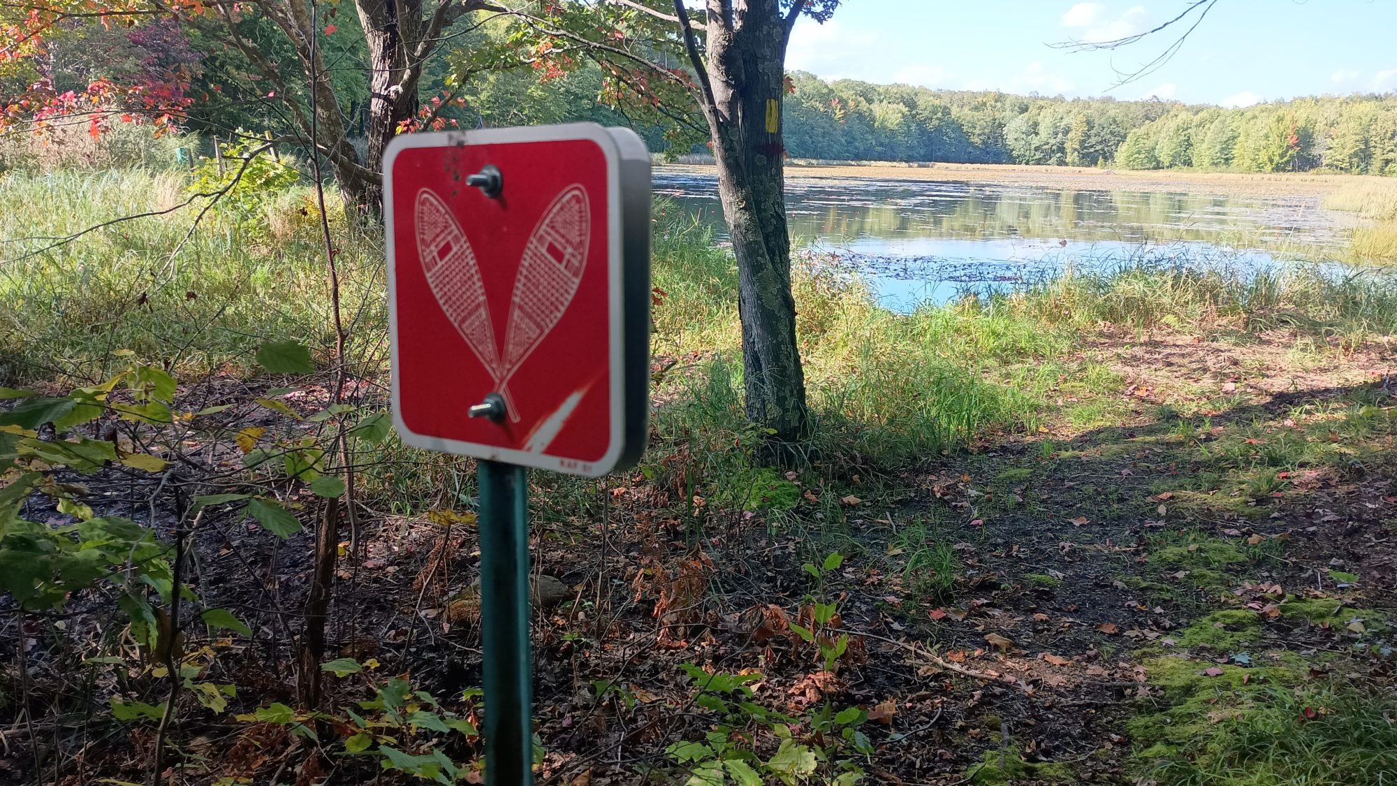
The last 2 miles of Trail were on snowshoe trails. I guess when your snowshoeing you don’t want to be going up and down hills like cross country skiing, because these trails did not have big elevation changes. The snowshoe trails were pretty nice.
I am back to single track trail now but I am running low on water. The map lists three seasonal Creeks but as I get to each one they are all dry. The next water source is called headwaters of Indian Creek. This is official speak for big giant beaver pond. And the best place to get water was right at one of the beaver trails where they enter and exit the water. I am sure there is no beaver poop there. The water didn’t have much color but it did have a slight earthy taste.
I am trying to get as far as possible today to make the subsequent days easier. I come across 3 tents pitched right at the edge of the trail before coming to a parking lot. It is 7:00 p.m. and there is only about 45 minutes of light left.
It turns out these are three through hikers going eastbound. We exchanged some Intel on the trail ahead for each of us. They let me know that the Wren Cafe is the best place to stay in Luck. They have a big area behind the cafe that they let hikers camp in. And they have electricity and water all night long. The restaurant closes at 3:00 p.m. but I just need to call ahead to get permission to camp there.
The internet has been horrible all day and I am running low on battery too. I need to book my room in St Croix Falls and another one in Minneapolis. I am able to book the one in Minneapolis, but the internet is so horrible I can’t book the one in St Croix Falls. I also can’t call Karen and I’m not sure if my texts are going through or not. Today is her birthday.
Ever since leaving Birchwood I have been a little bit behind schedule. I camped last night 4 miles behind and made up two miles today. So that means I need to do 32 miles again tomorrow to be able to make the town of Luck.
Reaching the town of luck tomorrow night is more important now, because I discover my battery bank has died on me again for the second time. I have 54% battery on my phone and no backup whatsoever. If my phone dies tomorrow and I have road walking to do, then I will be lost. The trails are marked with blazes, but not the road walks.
Emotion of the day, Nervousness
Not having internet connectivity for long periods of time can make you anxious. Especially since I am trying to coordinate hotels and shuttles for when I am expected to complete the trail. And on top of that I have to actually complete the trail when I say I am.
And now the problem with loss of power on my battery bank is complicating things as well. I have exactly one day to get to town where I can charge my electronics. There is no longer a plan B.
I know the last five miles of Tomorrow are just on a rail trail that leads straight into town. And I know that the cafe is one of the first things you come to. But what if I have no phone and are not sure where to get off the trail to go to the cafe? I guess I will know if I went too far and reach the town, but then that means backtracking and how far?
There is a lot of uncertainty for tomorrow and that makes me nervous. I don’t need things to always be planned out to a t. And in fact I prefer when things are more fluid. That’s why I prefer trails like the Pacific Crest Trail where you just hike until you are ready to stop and camp. But now I have a fixed location, with a fixed date, and the potential for losing my way.
I think being lost with a dead phone would make just about anybody nervous. But at least I know I picked a really good campsite tonight.
Recent Comments