
Today is the final day to make up time. And the best place to make up time is in the morning. I was finally able to get out at 6:00 and it’s still quite dark at this time. I had to hike with my flashlight held it my waist to cast shadows on the roots and rocks for the first 30 to 40 minutes of the day.
I have 32 and 1/2 mi to make it to the town of Luck, where I will be camping tonight for the last night on trail. So getting up extra early is a great start to the day. What is not such a great start to the day is having no internet and only 53% power left on my phone with no battery to replenish it.
When I figured out my schedule for these last 4 days I had assumed that everything would be flat rail trail. 30 plus miles is easy on a rail trail, but the shorter days make it a little harder and hills to climb definitely make it much harder.
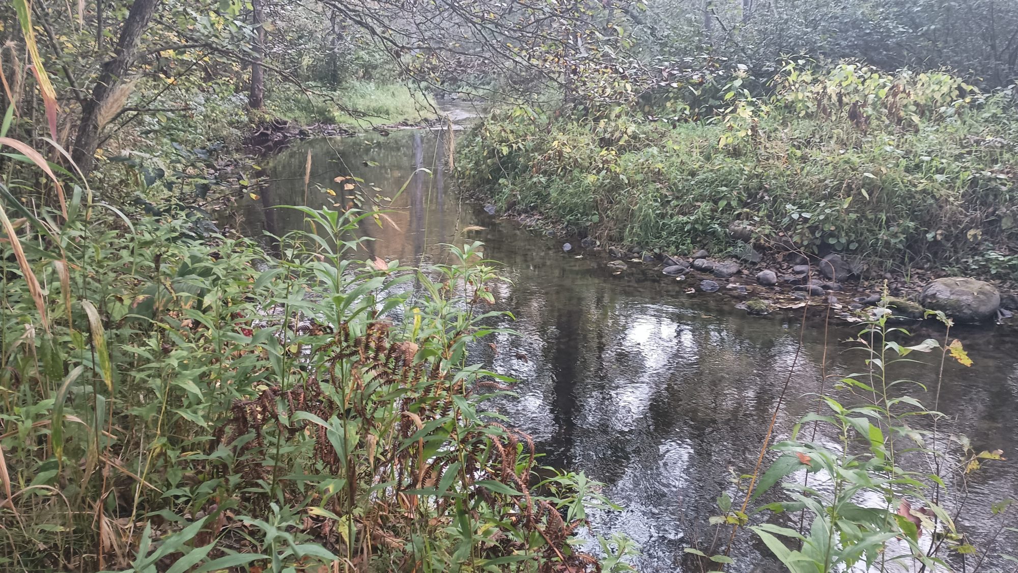
The trail crosses the Clam River and for some reason it kind of smells like clams. I know it doesn’t really smell like clams but that’s what my brain tells me it is. It’s probably just beaver poop. I need to get some water this morning but I don’t feel like getting it out of this stinky river.
There will be several other water sources today. The next one is McKenzie Creek, and when I get there, it looks and smells much better. The trail here goes up and down bluffs along the river. The river is easy to access from the bridge, so I stop and fill up here.
While I am filling up, two section hikers come by and ask if I’m through hiking. You talk for probably close to 20 minutes both about the trail behind me and the trail ahead of me. They have spent the last week doing the West end of the trail so they have good fresh Intel on what is ahead for today and tomorrow.
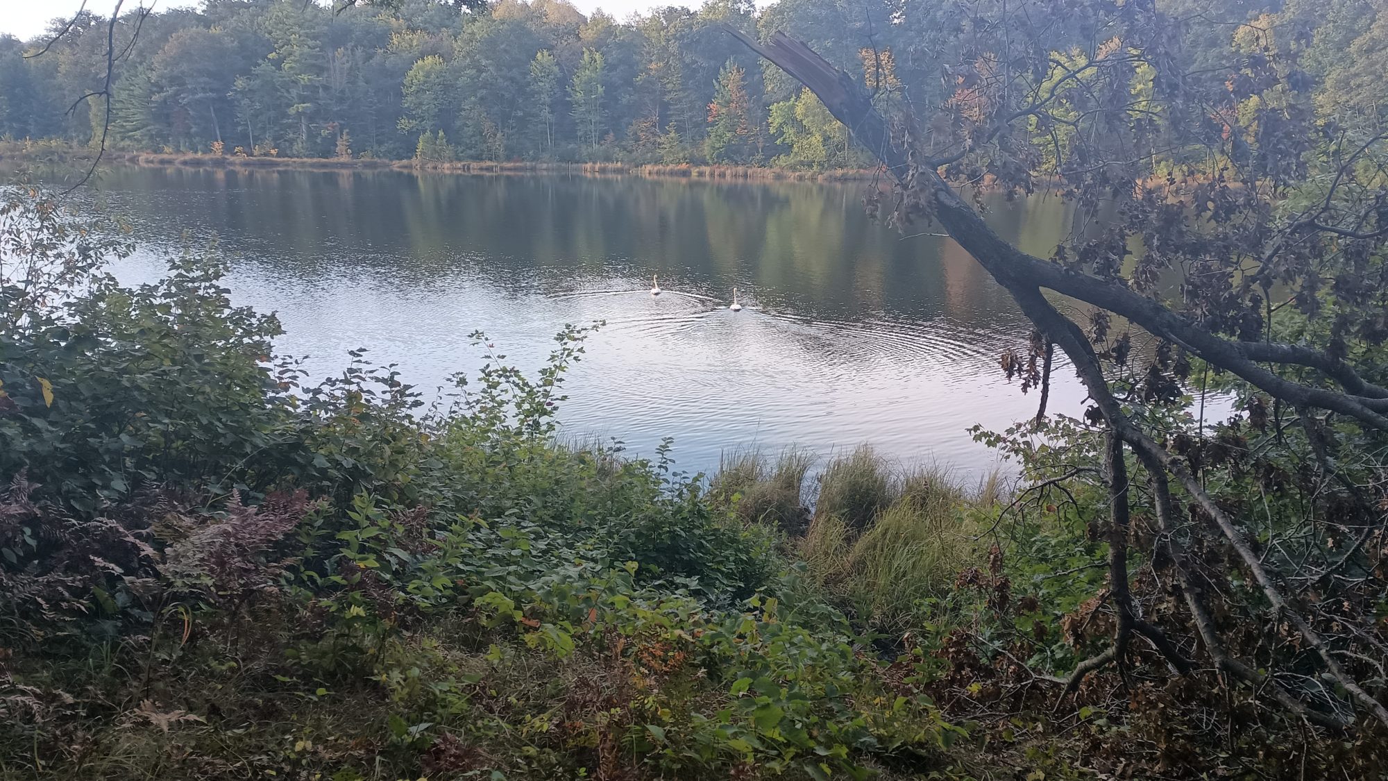
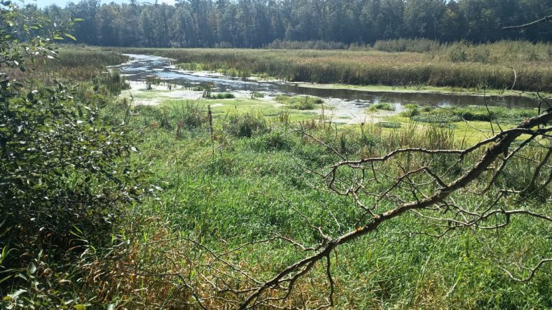
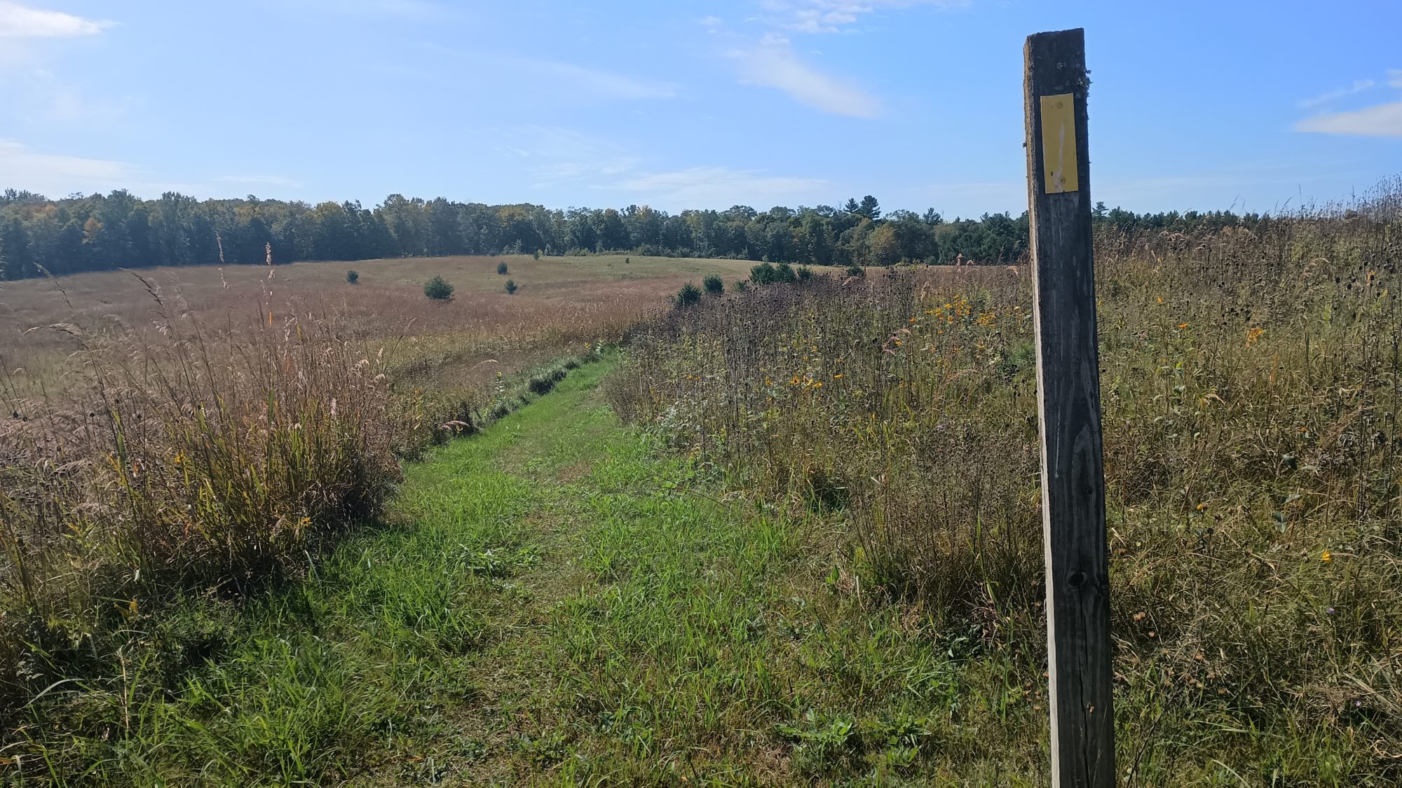
The afternoon is meadows, road walks, farmland, and a large esker along a really huge lake. Aptly enough this is called straight Lake. There is a primitive campsite along the lakeside and I would love to stop here and hang out a while but I have a tight schedule for today. I really wish I had added one more day to the schedule from Birchwood.
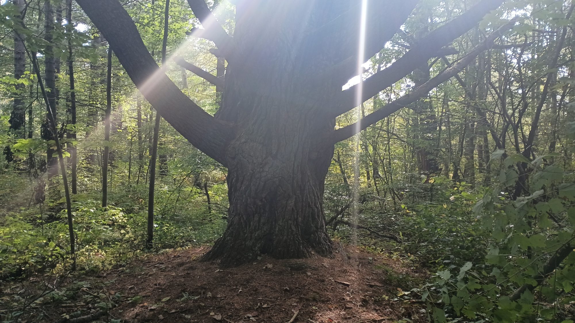
I came across this huge white pine later in the morning. I wish I had a human in the picture to show you the scale of this tree but it is just massively wide. The branch on the left is bigger than my head.
It is quite warm today, so I make a Gatorade that reduced strength in my one and a half liter bottle weight. I am pretty certain this is a packet of Gatorade I have been carrying with me since hiking the Pacific Crest Trail in 2016. As you can guess I don’t make Gatorade often. The crystals are kind of clumping together so it is really hard to get the moist powder into the bottle. In the 1 l bottle I make my coffee since it is coffee time now.
I can see a cell tower in the distance so I turn my phone on for the first time and give Karen a quick call just to let her know everything is okay. I also call the Wren Cafe in the town of Luck where I intend to camp last night to get their permission. The phone quickly goes into airplane mode again because I am down below a 30% power now.
The trail now is between farms. I passed through one stretch of woods in a farm that has four horses. Three horses have bridles on and the one without a bridle has a really bad sway back. It makes sense now because I have just crossed a really well designed self-closing gate. I pass another identical gate after emerging from the woods with the horses and across a pasture.
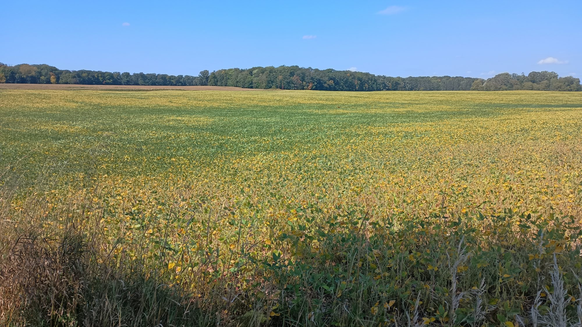
The soybeans are starting to dry out now. And as they wilt and turn yellow they look like flowers. I am sure in another 2 weeks these fields will look dead. But for now it looks like I’m walking in an endless field of flowers.
As I am about to cross another gate, I noticed red blobs all over the ground. I get excited and look up in the trees to see two more apple trees, one on each side of the gate. I don’t even bother trying to get one out of the tree but find one on the ground that has no holes or bruises. It tastes okay but isn’t great. I then try one from the other side and it is amazingly sweet and very crisp flesh. There are so many on the ground that I just scrounge around and find six or eight of them that are in good shape and shove them in my pockets. Apples on a hot day or like nature’s Gatorade.
The last lake of the day is called straight Lake and it’s in a State Park. The trail is well marked in a good shape but there are also other trails and pads intersecting the Ice Age Trail. This means I have to use my phone several times to make sure I am on the right path. Using the GPS takes more battery so this has me a little worried.
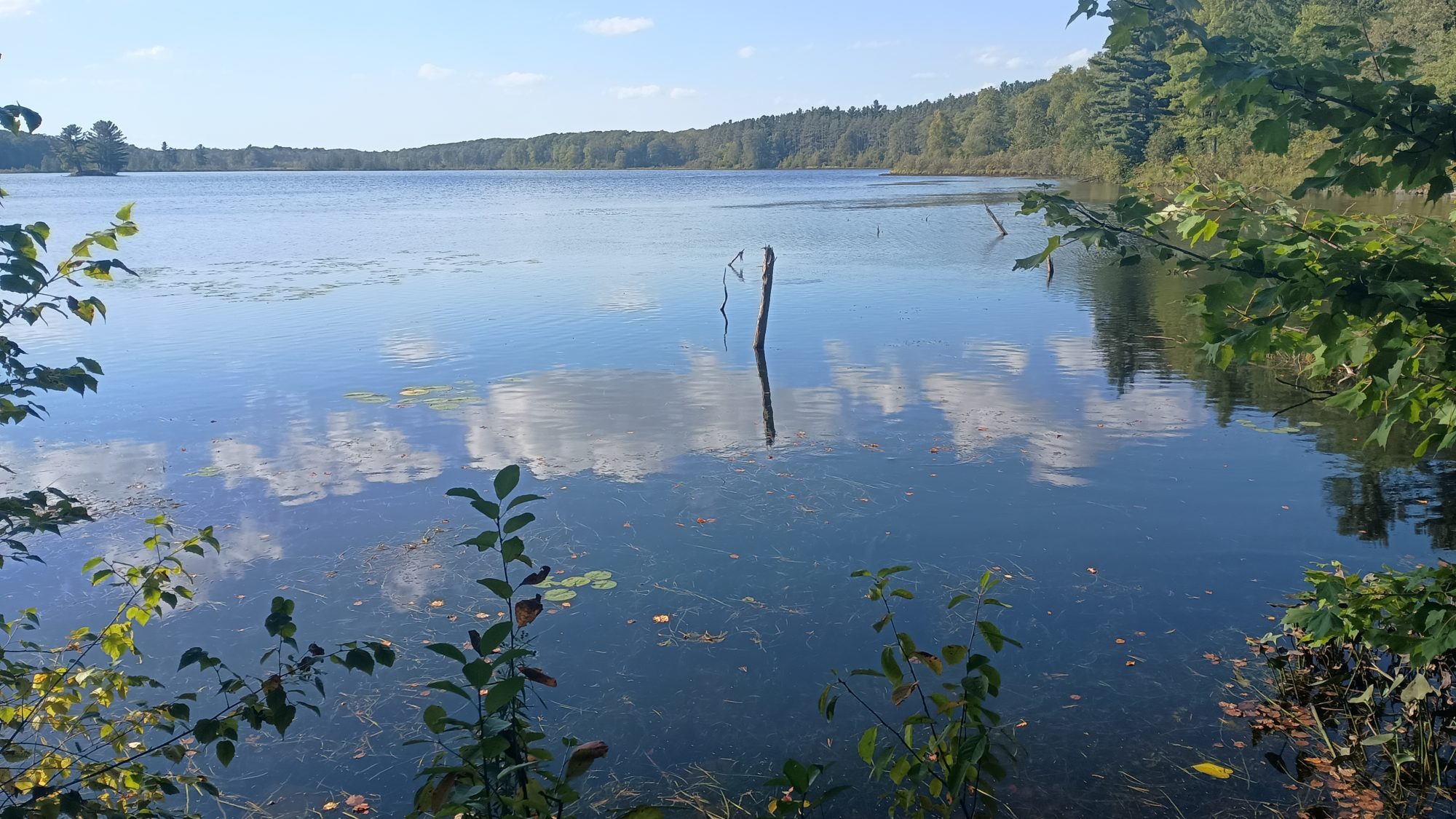
Nevertheless the hike is nice and pleasant and has very little elevation change so it goes quickly. There is a nice spot at the outflow of the lake to collect water so I go ahead and fill up and have a little snack and rest. I still have 10 miles to go and the Sun is getting pretty low on the horizon. But there is nothing left to do but to keep hiking.
At the trailhead at the end of the lake and the state park I have a decision to make. It is now 5:00 p.m. and I still have 8.7 mi to go. I will get to the cafe at 8:00 and it will be dark. My phone is down to 12% and I still have two road walks to go. If my phone dies before the road walks, then I will have no idea where to go. The road walks are not marked, only the trail is.
The other option is to turn left here, and add a 3-mile road walk which removes 6.7 of the miles of trail. It will save an hour of time, but more importantly there is only one turn. I can time the exact distance of the road walk with my watch, and the same with the two miles on the rail trail. I won’t need navigation I will only need my watch.
It’s not an easy decision to make. There are already four or five miles of blue trail that I have missed from missing turns or going the wrong way and not backtracking enough to catch them all. So it’s not like I’m an ultra purist for seeing every single yellow blaze at this point. But this would be consciously cutting out 6 miles of official Trail in exchange for 3 miles of road walking.
I decide that safety is more important than purity. The three miles I would be shortening my hike by is more than offset by all the out and back loops I did weeks ago that don’t even get figured into the official mileage. I am still walking by foot from one end of Wisconsin to the other so it still feels like a through hike to me.
I spent 5 minutes going over all the pros and cons in my head before finally turning left and heading down the road. I am not willing to risk getting lost on a road walk when it is getting dark.
The road walk is uneventful and only two cars end up passing me the entire 3 mile walk. I get to the rail trail intersection with the road only 2 minutes away from when I predicted I would get here. Two minutes in a 1 hour hike is pretty darn good.
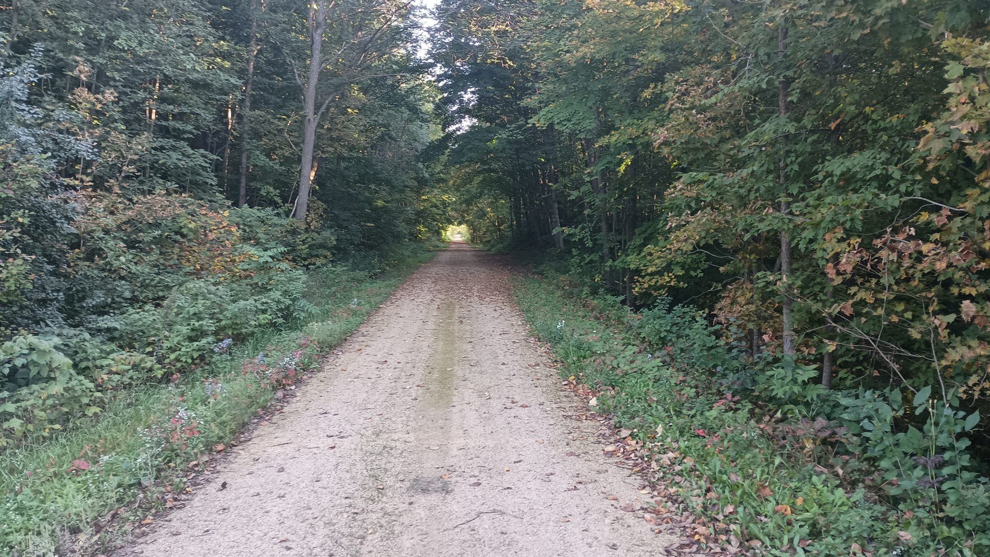
My phone is down to 2% battery so I have enough to take one picture of the rail trail. And in less than 1 minute I hear the chime of my phone powering itself off. My phone is officially dead now, I have no method of navigation, but I know how far it is to the cafe and I know the cafe should be visible from the trail. I do a little math again and figure out that I will be at the cafe at 7:22, just 20 minutes before dark.
And like clockwork, I am at a road crossing at 7:30 after taking an 8 minute rest break halfway down the trail. I cannot see the cafe from the trail but I know this is the correct intersection. So I hike out to the highway from the trail and then I see the sign for the cafe three buildings away.
After I head around the back of the cafe, I immediately look for the power outlets and plug my phone and battery in. There are two large gazebos behind the cafe and a pretty good sized grassy area and a few trees.
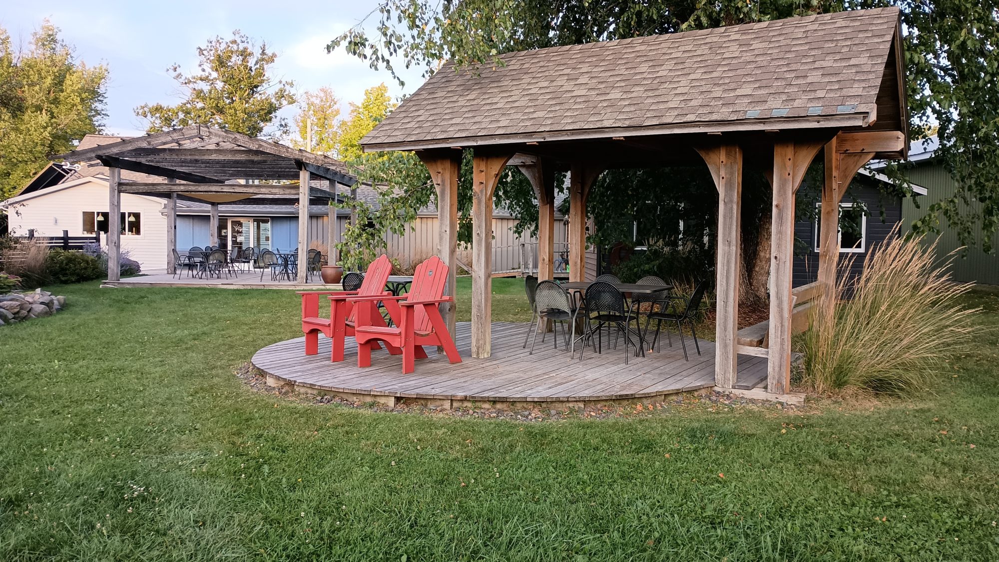
I am not a fan of camping in grass because of the moisture but it looks like one of the trees is large enough to keep the dew off of me. I then set up my tent so that I will have refuge from the mosquitoes if they ever show up. Luckily they never do but it’s a habit to always have a shelter at the ready.
Next up is water. I feel one of my bottles from the hose but when I drink from it it tastes like a plastic chemical horrible taste. When I look at the hose it looks like a new hose and it’s coiled under the deck so I can’t really see anything other than a few feet of new shiny hose.
Maybe this water was just sitting in the hose too long and I should let it run first before filling the bottle? I let the water run for 30 seconds while I dump out the bottle of water. I refill it again from the hose and when I tasted it, it tastes wonderful.
The next decision is to whether to cook dinner here at the cafe, or walk into town to one of the restaurants that is still open. It is now almost 8:00 and basically dark, my phone probably only has 5 to 10% power on it so far, and it’s almost a mile into town. I don’t think I want to add two more miles to my hike today while leaving my gear sitting here behind the restaurant. I will be eating whatever scraps of food I have left.
So dinner consists of a pot of mashed potatoes, tuna fish on a tortilla with mayonnaise, a granola bar, a cheese stick, my last two dried apricots, and my last three cookies. The only food left in my bag is two tortillas one granola bar, one cheese stick, and some almond M&Ms. I will need to get some more food before leaving town tomorrow. I still have 25 miles till the end of the trail, so tomorrow will be a full day of hiking as well.
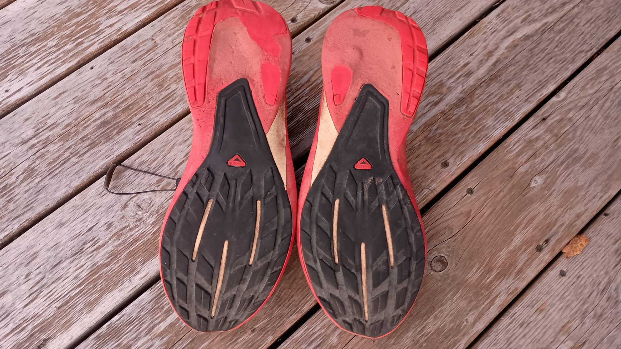
This is also where I finally say goodbye to my trusty Salomon shoes which took me the first 1,039 mi of this trip. The new shoes have done fine for the last 3 days so I no longer need to carry the insurance policy. I give them an unceremonious funeral in the dumpster.
There is such a nice wind on the gazebos that I dry out within about 30 minutes of getting here. I also have an endless supply of water so I decide to take a sponge bath and get as clean as I can with a handkerchief. I would not call myself clean by any stretch of the imagination, but at least I feel a little more humane.
My step counter for the day says that I traveled 33.3 miles over a 13 and a half hour period. That’s 66,191 steps for those who care. The trail guide says that I was supposed to travel 32.5 miles. I find it interesting that I traveled farther even after cutting off three miles of the route. It definitely does not feel like I cheated today. It just feels like I avoided a potential disaster by making a conscious decision. I can live with that.
Emotion of the day, Nervousness
The power on my cell phone really had me worried for the entire day. If I had even 10% left on the battery bank I wouldn’t have felt this way at all. But to know that what you have in your phone is all you will have for the entire day, and your phone is a critical piece of navigation, is not an easy feeling.
If I had chosen to stick to the trail, then I know my battery would have run out before the second road walk and possibly before the first one. That was a tough decision to make, but I am glad that I chose the road walk.
The last 2 hours of hiking were the only time that I was really at ease. Knowing the exact distance of both the road and the trail put me at ease. Having a watch made me feel comfortable that I would know exactly which roads to turn on.
But from 6:00 a.m. to 5:00 p.m. I was a nervous Nelly. Scoring the sweet apples was the only 5 minute reprieve I had from being nervous.
I never want to feel like that while hiking again, so I will be disposing of this battery pack as soon as I get home. I will also load test every battery pack before starting on a new hike.
Hiking should be fun or tiring or exhilarating or boring. Hiking should not make you nervous.
Recent Comments