Category: Travel Log

Trip reports, trip blogs, and photo galleries of trips.

Day 11, More Kettles and Another Burger

It took a very long time for me to get to sleep last night. My body’s metabolism was still very high and making me hot. I had to have the air conditioning down to 65 just to stop sweating. The muscle fatigue also made it hard to relax and fall asleep. But I did finally get to sleep about midnight.

Breakfast was a sad affair so I basically ate yogurt and decaf coffee. I was in no rush to leave today so I didn’t get set off until 9:00.

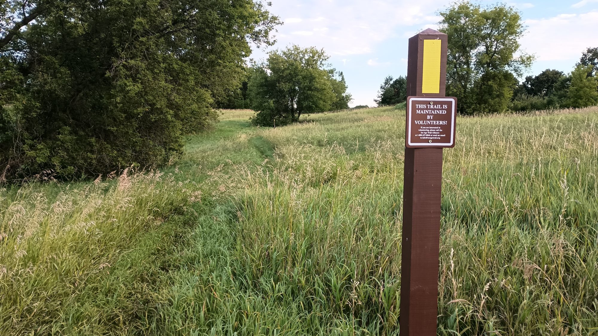
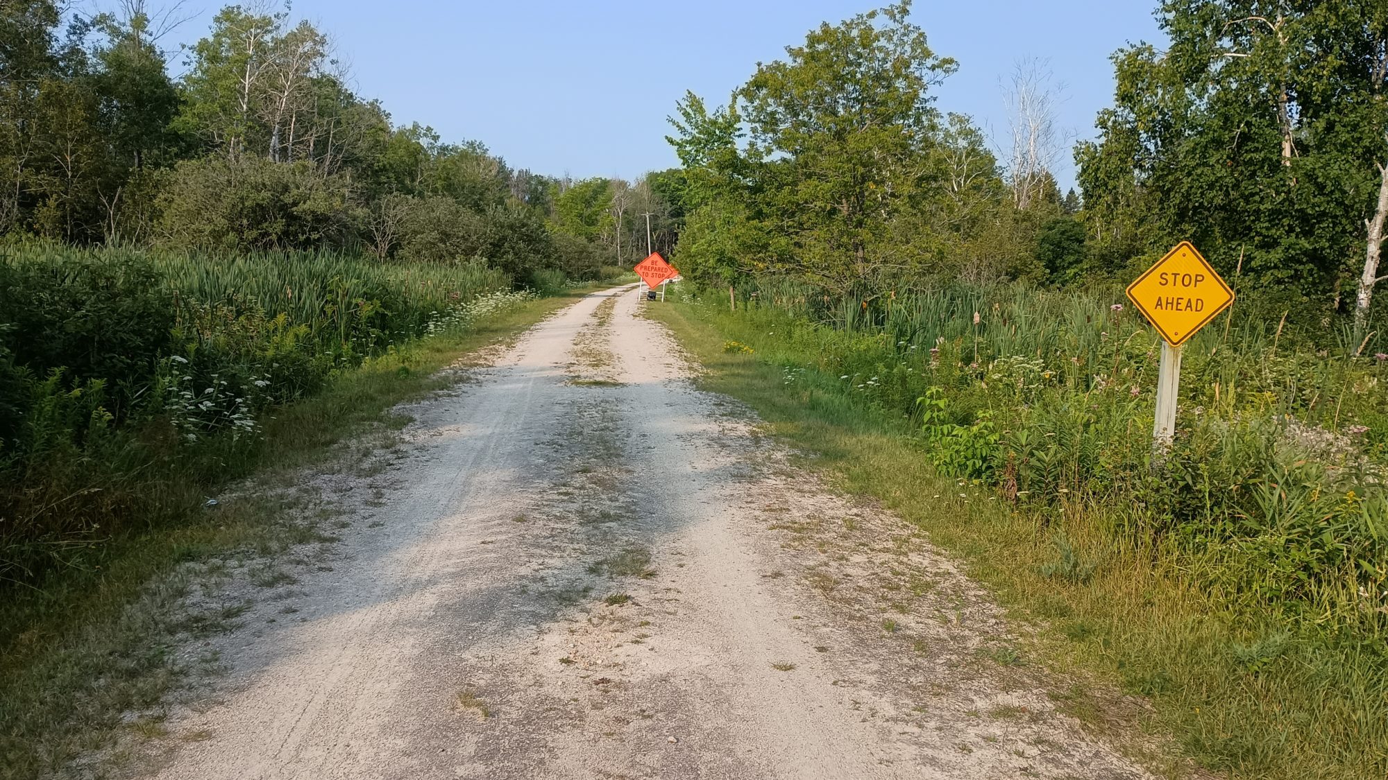
The trail resumed right at the crosswalk across the highway into the woods. The trail took me around a pond and across the road where there was another pond. The way the trail signs were pointing it looked like I was supposed to start walking down the road to my left. After about a quarter mile it didn’t feel right so I checked the map and indeed I am off the trail again.

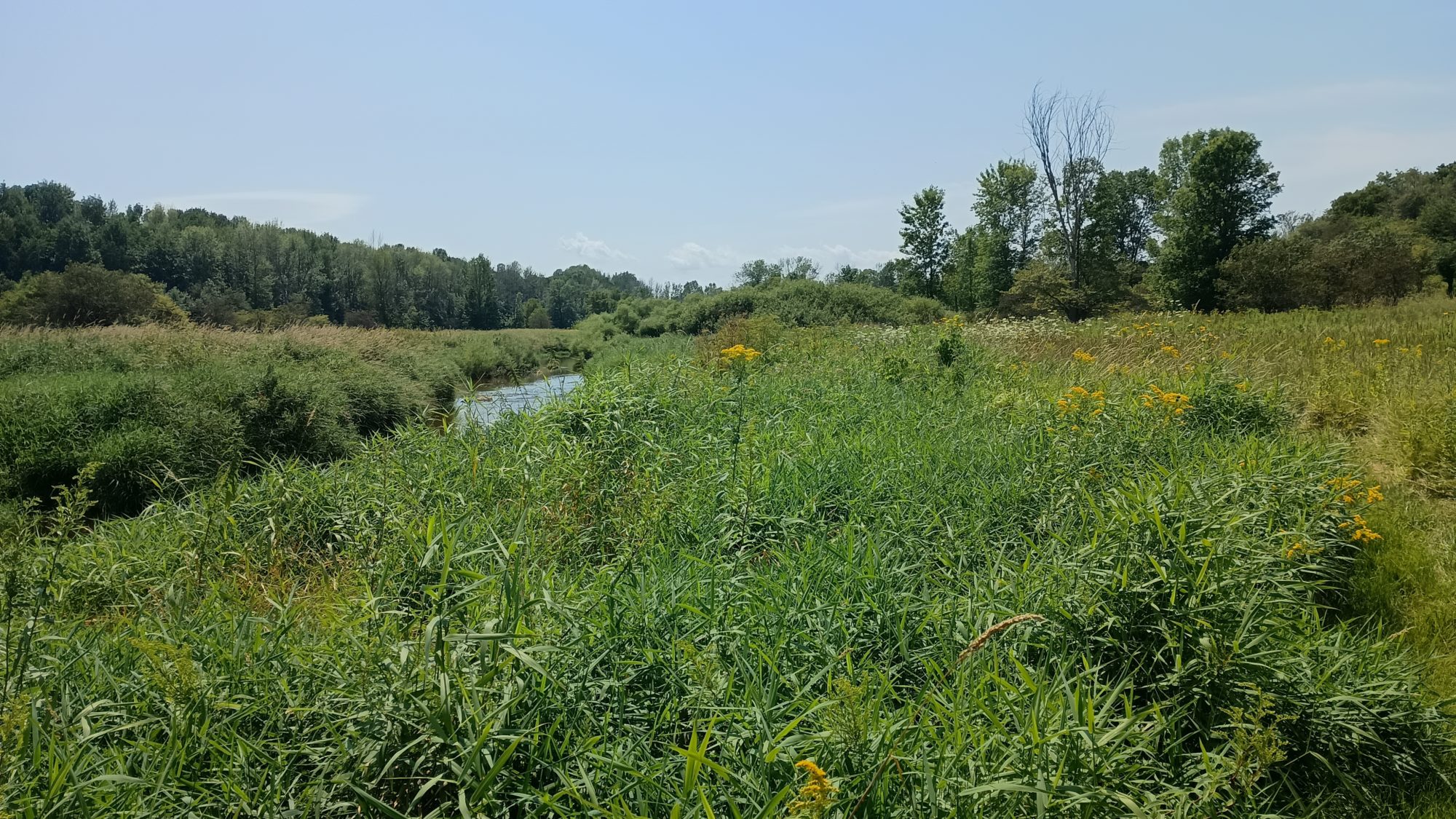
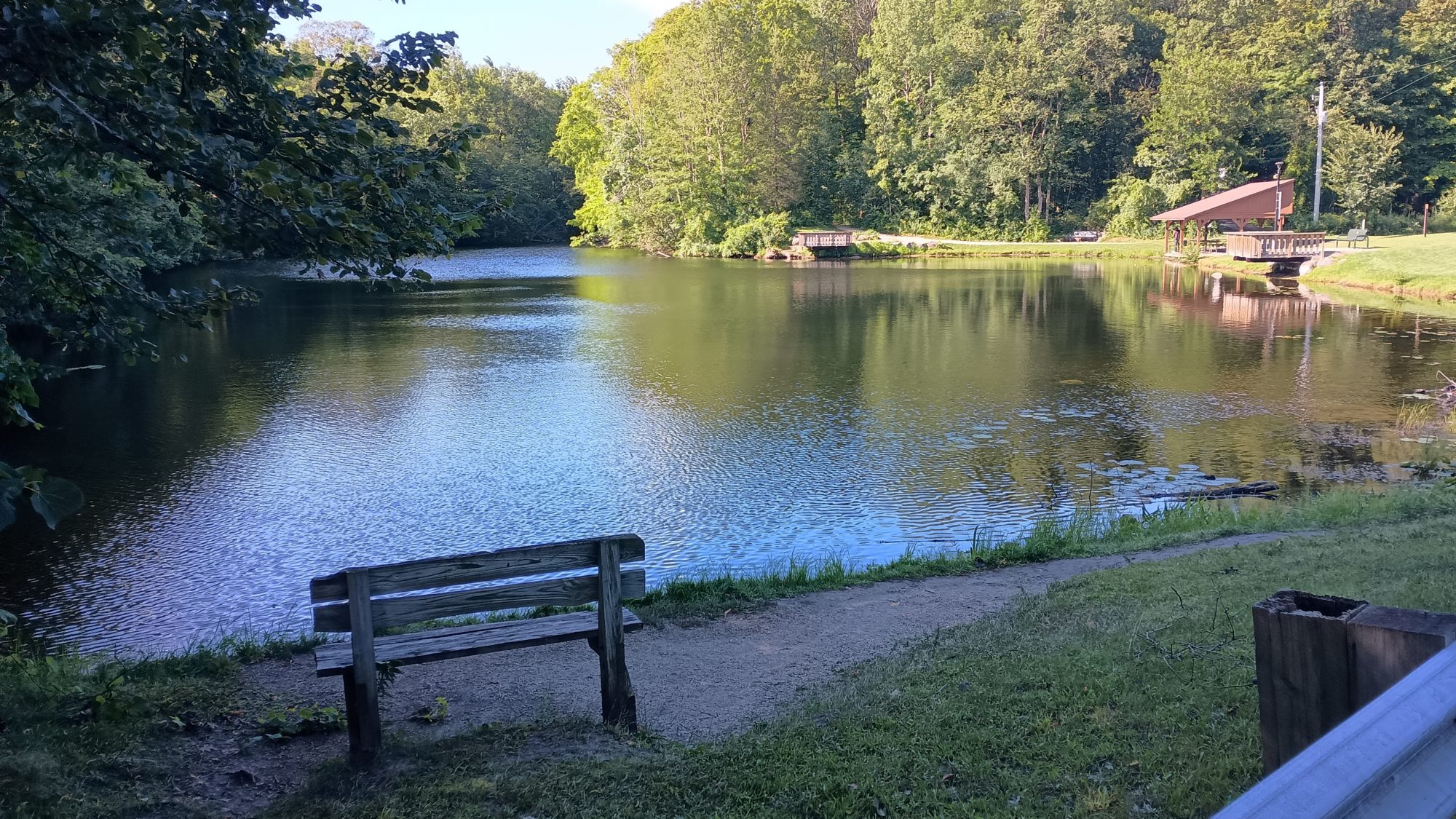
The trail went straight across the road instead of along it and I’m not sure how I missed that. Oh well that’s not the first time and probably not the last. The trail keeps winding across a series of cascading ponds. It’s a nice little Park system here in West Bend Wisconsin.
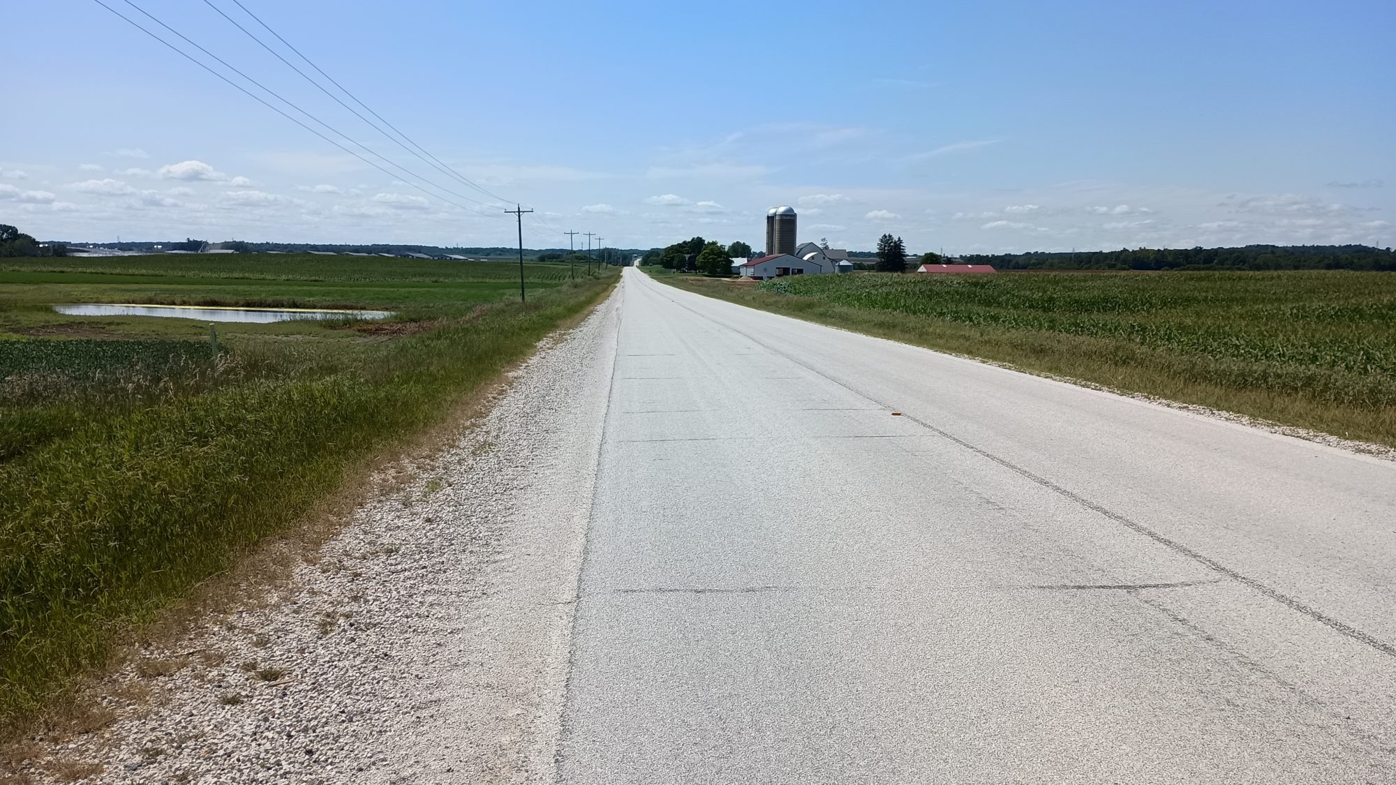
After a few miles the trail turns to road walking. This is more like suburban territory instead of cornfields. It makes for better walking but some of the roads have blind hills. I’m sure the car is coming my direction are as surprised as I am when I see them as well. I think I would rather have corn fields.

After passing through a small community by a lake I get my wish. It’s not exactly cornfields but it’s bigger and wider roads with a much lighter shoulder for me to walk on. There are about 6 miles of this until like get to the trail system again.

Road walking this morning really wasn’t bad. It was partially overcast there was some shade but it was very breezy. In fact it was so breezy that I could not use my umbrella. But I did go ahead and lather up with sunscreen.

The road walking ends with a rail trail that leads into the next town of Slinger Wisconsin. It’s only about 1 mile of walking on the sidewalks in Slinger before it takes you to trails again. But what I am interested in right now is lunch because it is after 1:00 and I am hungry.

I spot the gas station in the middle of town where I am planning to resupply for just one more day of food. To my surprise there is a restaurant right across the street and they have outdoor seating.
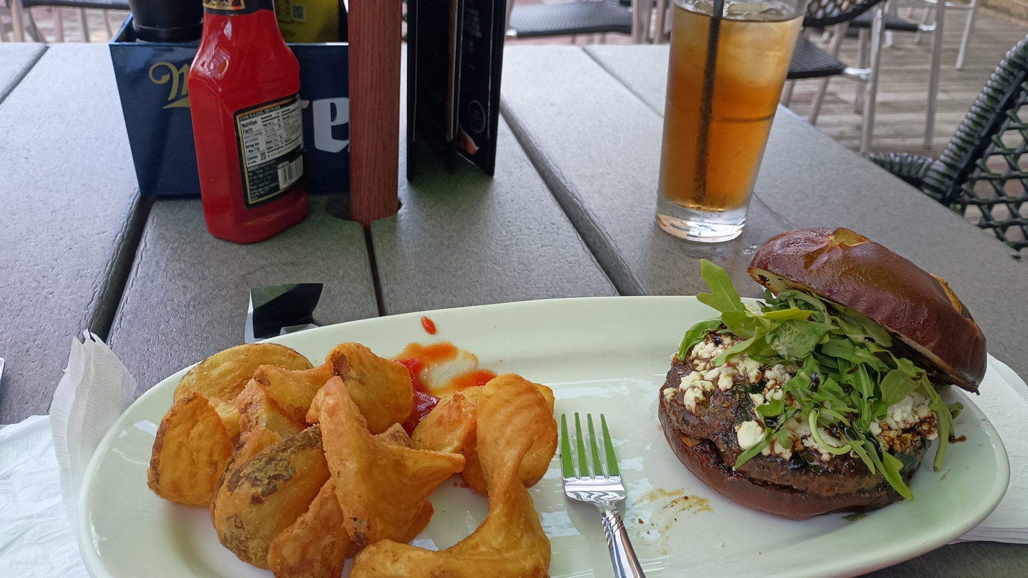
After checking out the menu I plan on eating a chicken fajita salad. But once the waitress tells me about the specials that quickly change my mind. The black sheep Burger has feta cheese balsamic reduction bacon bits and arugula on it. It tasted far better than it sounds and it sounds delightful. They’re iced tea was also quite delicious. A little on the weak side but the flavor was amazing.

Resupply across the street takes only a few minutes. A can of spaghetti will be dinner tonight along with a pack of combos. The Gatorade for the pack and an ice cream sandwich for the walk and I am ready to go.

It is nearly 3:00 by the time I leave town. It is only 2 miles to The backpacker campground in the State Park up ahead. But I am not planning on staying there. If I can get about eight more miles of the trail then I can have an easy-ish day into the next town.
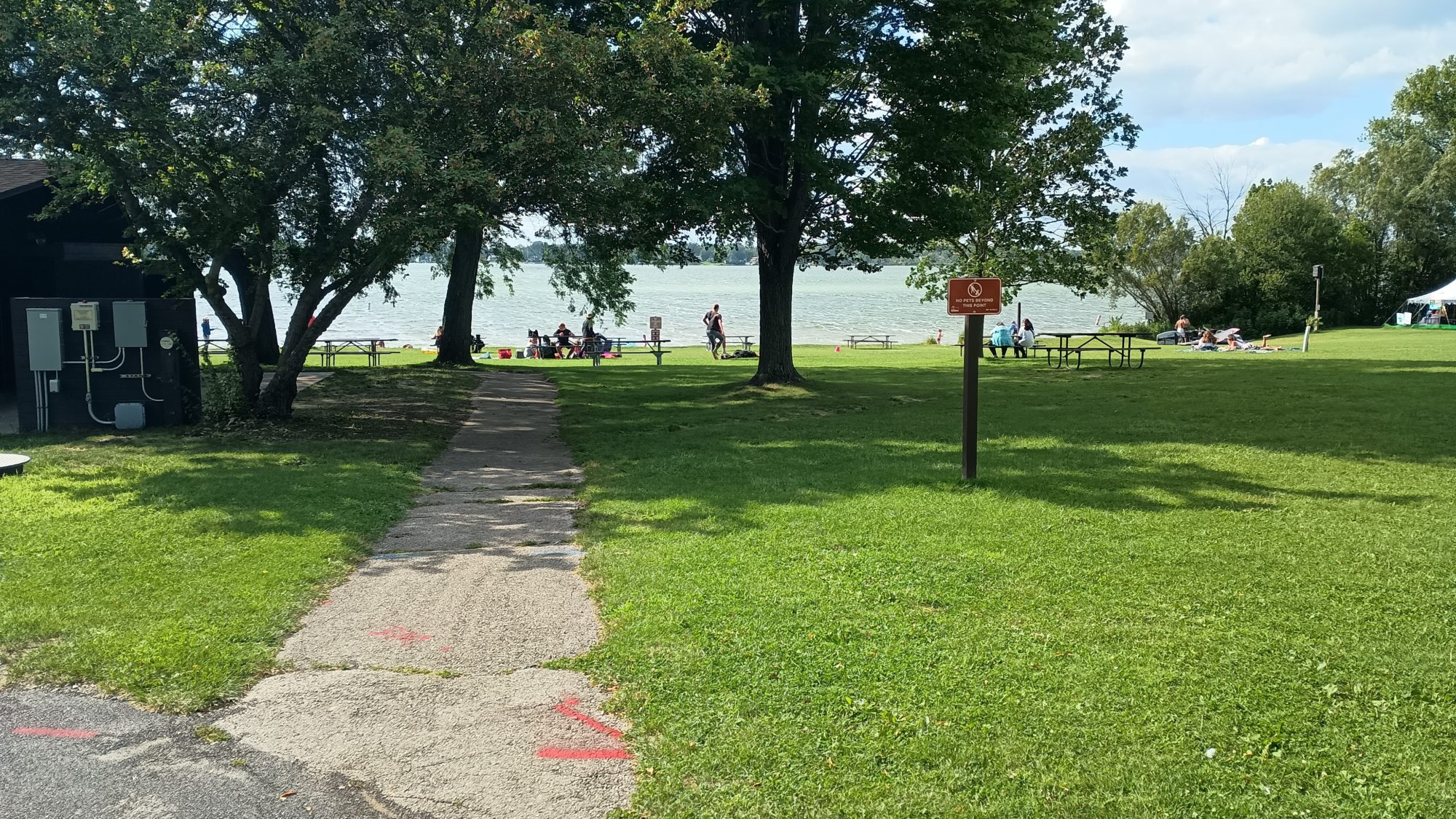
My plan was spot on. When I got to The backpacker campsite it was filled to the brim with backpackers with folding chairs and all sorts of things that are totally unnecessary. I basically just waved at them as I walked by and never even stopped.

The next 10 miles or so is a mixture of private farmland and public parkland. From the satellite imagery all of the parklands look heavily wooded. The best looking spots are between 6 and 8 miles from here. That should get me camping by about 6:30 and that sounds perfect.

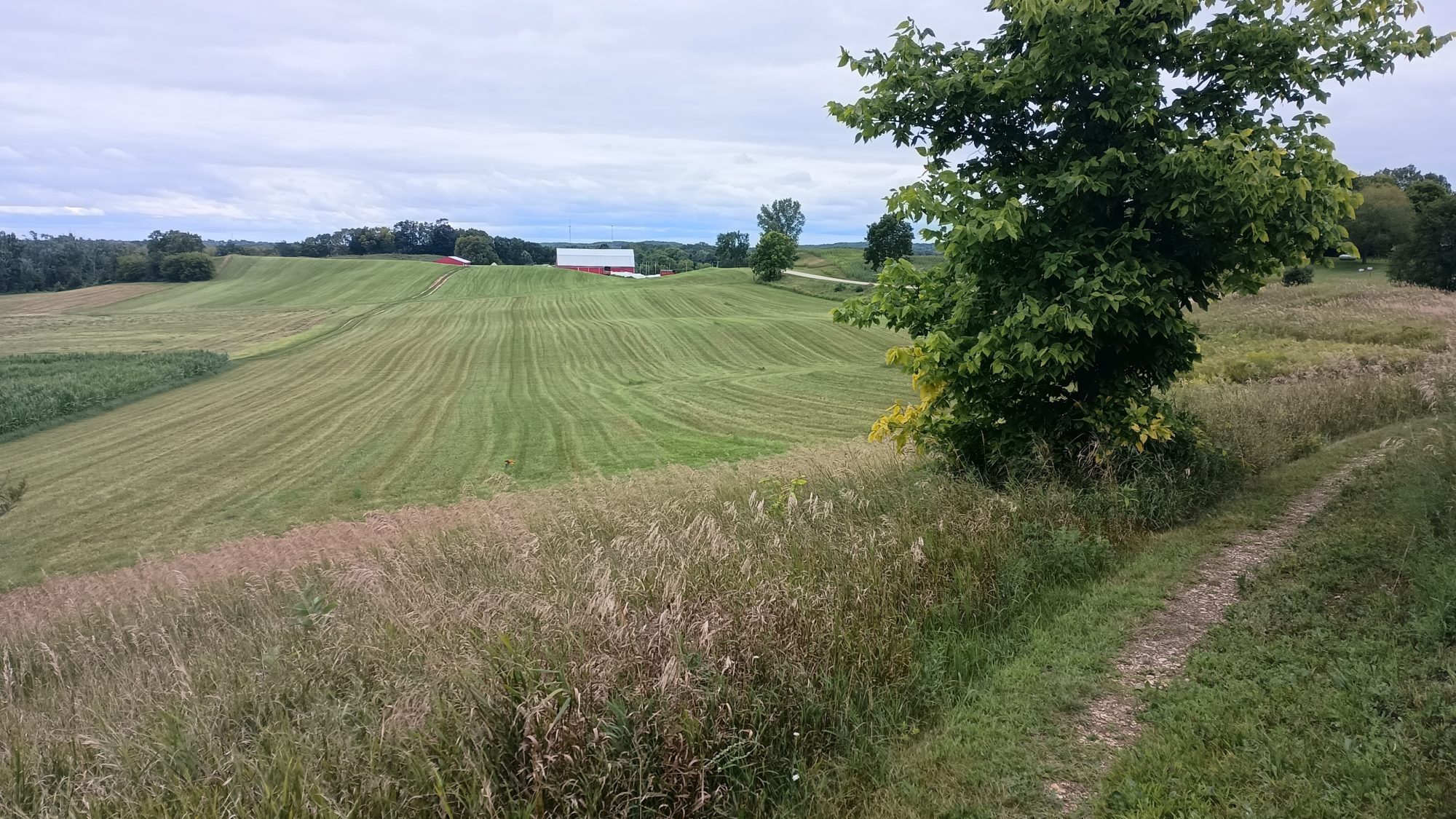
Yesterday the park signs taught me about eskers and how they are formed. Today they teach me about kettles. I already had the one sign from yesterday show me what one look like. Today signs were more informative and how they actually form with the receiving glacier. Yesterday just said iceberg in ground melts and leaves a hole. Today signs were more nuanced into how they break off, how they get buried, and how they melt away.

The afternoon starts to drag on. My assessment that the tea was weak is indeed correct. I am tempted to make coffee but I don’t need to rush. I will still have 2 hours of daylight so I can afford to lollygag and go slow.

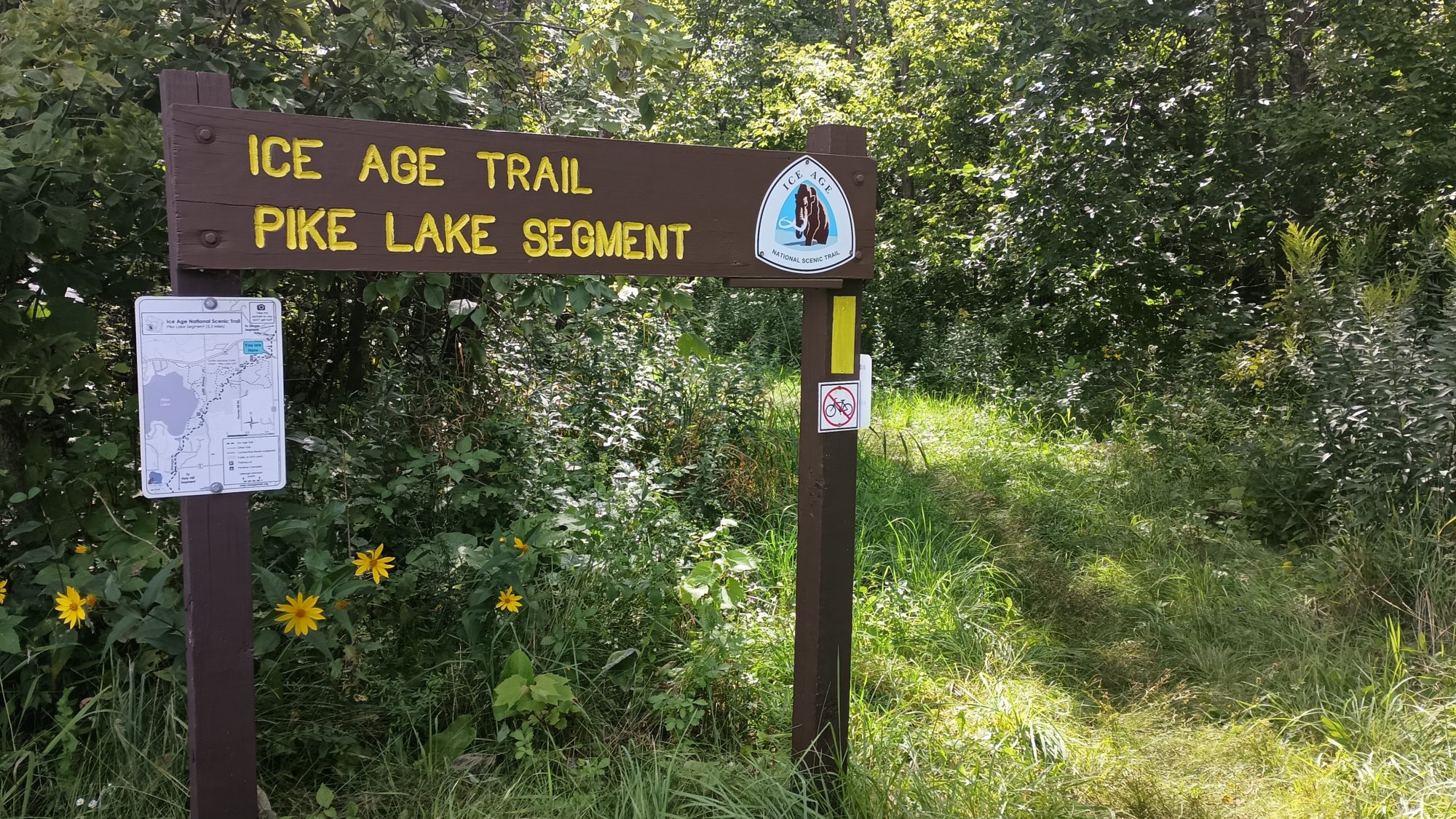
It is a Saturday and there are lots of people on the trails today. In the Pike Lake State Park area I would see a person every minute or so. But even now three or four miles away from that Park I am still seeing other day hikers every 20 minutes or so. It’s a perfectly cool Saturday for hiking so I don’t blame them.
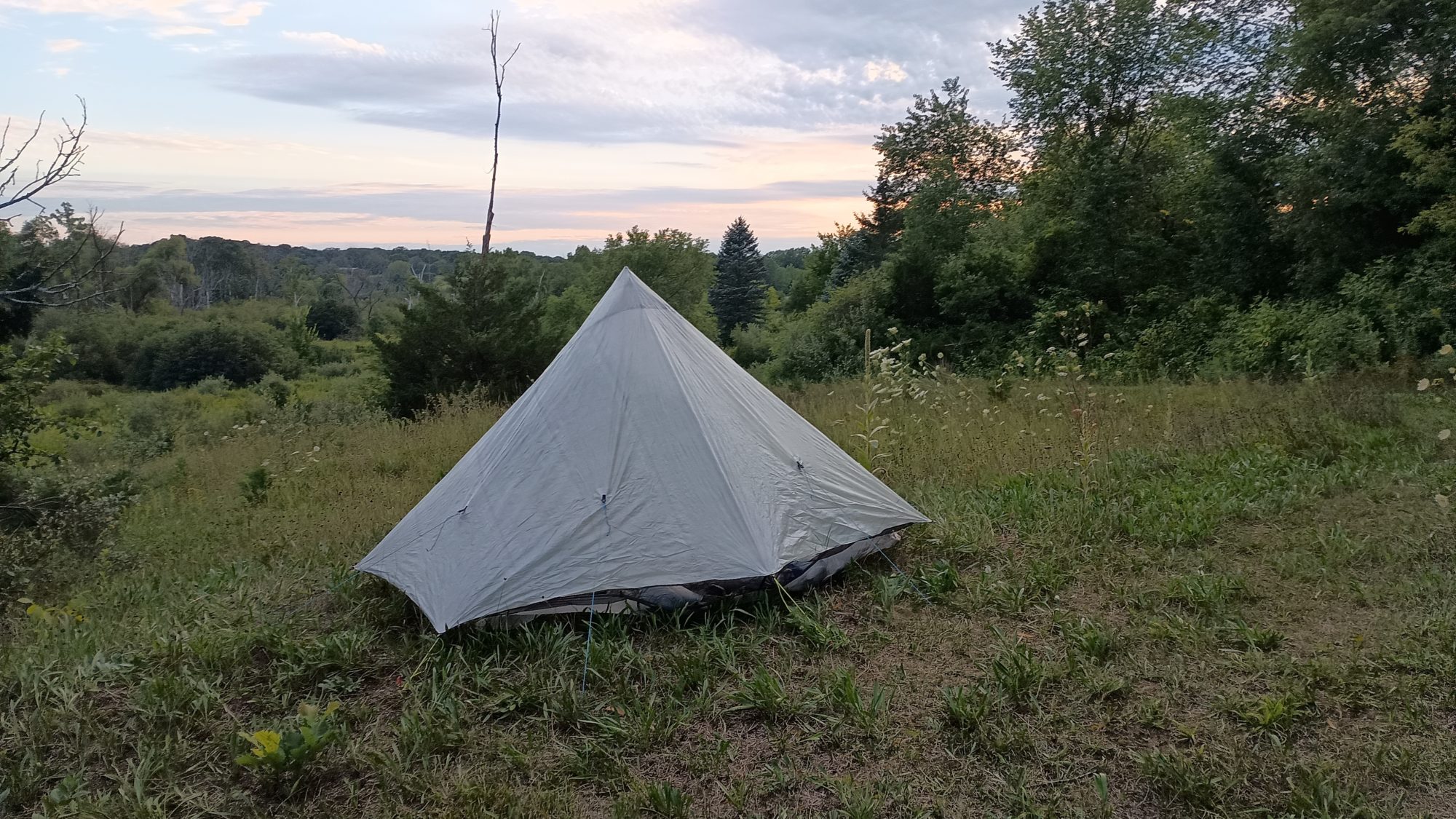
I get to the first point where I think there will be good camping almost exactly at 6:30. But unfortunately this forest is too heavily vegetated to be able to pitch a tent. But only a few hundred yards later I spot a section that looks pretty good. It will be tight but I find a spot where I can pitch the tent without having to crush any saplings. But there are a ton of dead branches that need to be cleared first.

As usual the first order of business is to set up the tent and throw everything inside. There are only a few mosquitoes but I used to the routine. I won’t be cooking tonight since I’m eating my canned spaghetti. Heating it up doesn’t make it taste any better so I just eat it cold.

From where I am camping to the next town is only about 22 miles. That sounds like a perfect Sunday stroll. I will try and get up early tomorrow so that I can arrive at my next hotel early in the afternoon. Yes I am staying in another hotel tomorrow night. Have I mentioned I’m a fan of the hotel rewards programs?

Emotion of the day, Relaxed

Today was a very relaxing day. They didn’t start serving breakfast until 7:00 so there is no reason to get up early. It was a relaxing 2 hours packing and finishing up chores before setting out this morning.

And then knowing that it was a decent mix of road and trails made everything low stress. I had a wide range of mileage to be able to stop for the night, so that took away a lot of stress.

I knew that I would be walking through a town and could resupply and then was pleasantly surprised to find the restaurant as well. I didn’t have to carry much food or water which is always nice.

I even spent 20 or 30 minutes at the Pike Lake picnic area just watching the picnickers. Even when it was time to start moving again and I knew I had to go at least 2 hours before I could find camp spots, I was not worried that I wouldn’t be able to find a spot.

Even though the first camping spot didn’t work out, I was sure there would be another one around the corner. And indeed their was. I wasn’t in any particular hurry today and that was quite a different and relaxing pace to the hike. As long as I get started early, tomorrow should be just as relaxing.
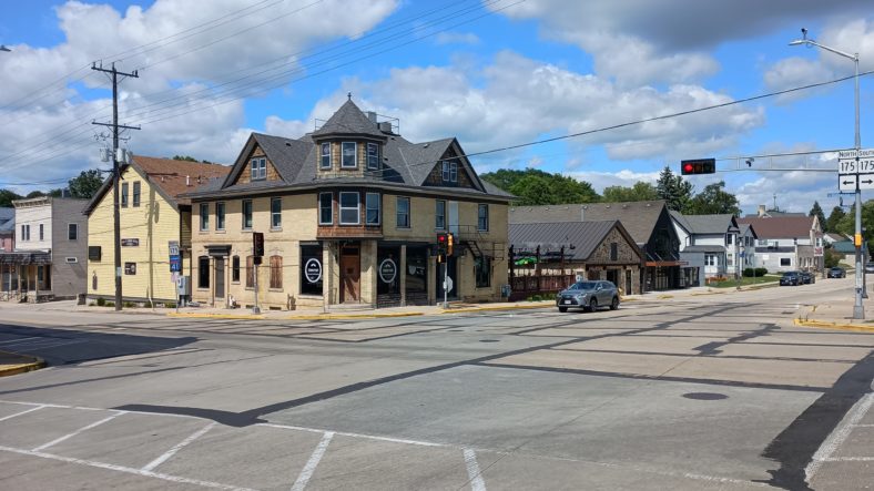
Day 10, A Long Day Through the Kettle Moraine

The Kettle Moraine State Park is made up of five independent Park units. I know I have gone through at least two so far but possibly a third. The park establishes a large collection of glaciated features in the region.

The two most common features that I see while hiking are eskers and kettles. Eskers are linear mounds of sand and rock sediment formed as glaciers begin to melt. Streams form at the bottom of the glaciers and all of the sediment was deposited by those streams. When the glacier melts away all you are left with are these mountains of sediment of ancient strain beds.

Kettles are where large icebergs break off from a glacier and get mixed in with the surrounding soil. When everything melts the huge hole left by the iceberg forms a whole called a kettle. They may turn into a lake or they may remain dry. All of the lakes I have been passing were formed by kettles.

I wanted to get up as early as possible today but I accidentally overslept a little bit. Good sleep is better than no sleep so I’ll take it. I am fed and packed up and walking at 7:00 a.m.

Today is very cool and breezy. The weather app says it is 53°, but I am not cold at all. Best of all the mosquitoes can’t really find me in the strong winds. I think today will be an outstanding day.

My destination for the day, however, is uncertain. There is a shelter at about 20 miles which would leave about 10 MI to where I could potentially get the hotel. There is also a dispersed camp about 5 mi later which would cut the distance to town in half. The problem with either of these as a destination is I will have to kill time tomorrow to wait until I can check in.

The other two options are to either hike the entire 30 mi distance today, or bypass the hotel and keep going tomorrow. The camping options past the town are not great. And after the last two really hot days I am in need of laundry. I will push the morning to get to the shelter to see what time it is and decide then if I should try to make the entire hike in one day or not.

Since this is a state park I can occasionally find signage that explains look glaciated features that I’m hiking on. The guide book has verbal descriptions of them but I can’t really piece together how they actually work. But the signage with pictures makes it very easy to understand. Yay State Park rangers.

I have several water source choices today and they are all streams and a few hand pumps. The first dream that I come to is really easy to access from the bridge. I just have to lean over and scoop up the water. It is also cold and clear which makes it more palatable. Even though it does have a slight earthy flavor.

The hand pumps are not great sources of water. They take 12 to 15 pumps to even get the first bit of water out. They either trickle out a stream like a water fountain or if you pull up a lever it will dump the entire amount that you have pumped up into a spout where you can collect it. They are very convenient but the water tastes extremely iron metallic. So much so to the point where you don’t want to drink it.

The morning goes by quickly, but I am definitely hiking this lower pace. It’s not a consistent pace because the trail isn’t always going up and down but there’s enough interjected in the level Trail that I can only estimate I’m a little over two and a half miles an hour.

I stopped for lunch at the park that has pit toilets and running water if I want to hike a half a mile to the beach area. I am fine with just sitting on the picnic bench and then moving on. If I am going to hike the full distance today I can’t lollygag in a park area.

I reached the shelter just before 4:00 p.m. which is exactly when I expected. There is another hiker that dropped their backpack here and it’s off in the woods gathering wood. There is no flat ground around here to pitch a tent so I’m definitely not staying. I stopped long enough to grab a snack and make a cup of coffee. The other hiker never even knew I arrived, ate, and left all while they were out in the woods.
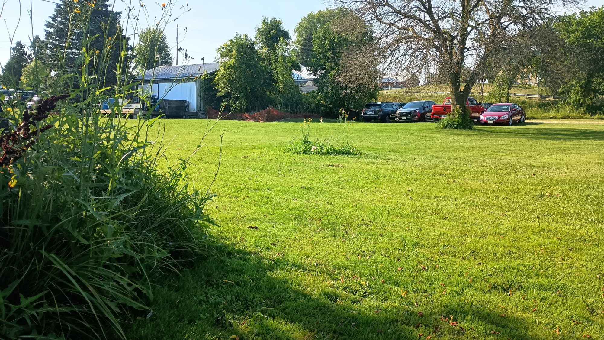
As I hike past the shelter the next two or three miles have plenty of places to camp. So if I want to stop today I easily can. But it seems so early and I do have time to make town by 7:30 which is still an hour before dark. I am rejuvenated by the coffee and the snacks so I decide to just keep going.
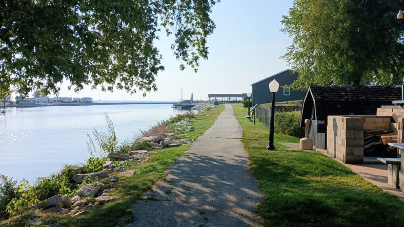
It is not long before I reach the official dispersed camping area. The campsite is horrible so I’m definitely not staying here. The trail has been going through private property for at least the last 3 miles. So if I did want to camp here this is probably the only spot. I’m still on schedule so I keep going.
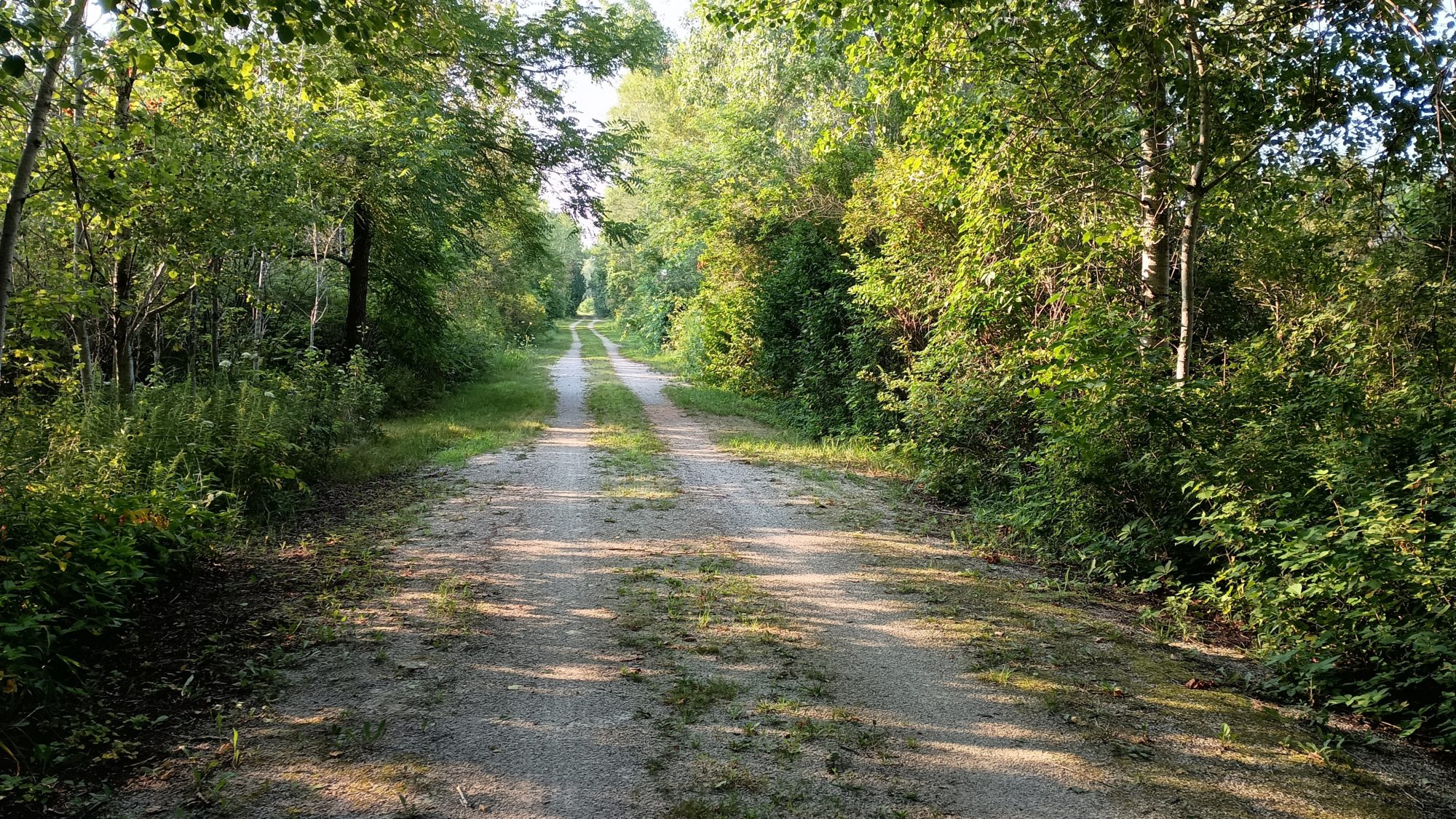
After less than a mile further, the trail gives way to a road walk. It’s about 2 miles to rejoin more trail section that leads into town. I am 25 plus miles in for the day at this point but at least the road walk will quicken my pace.
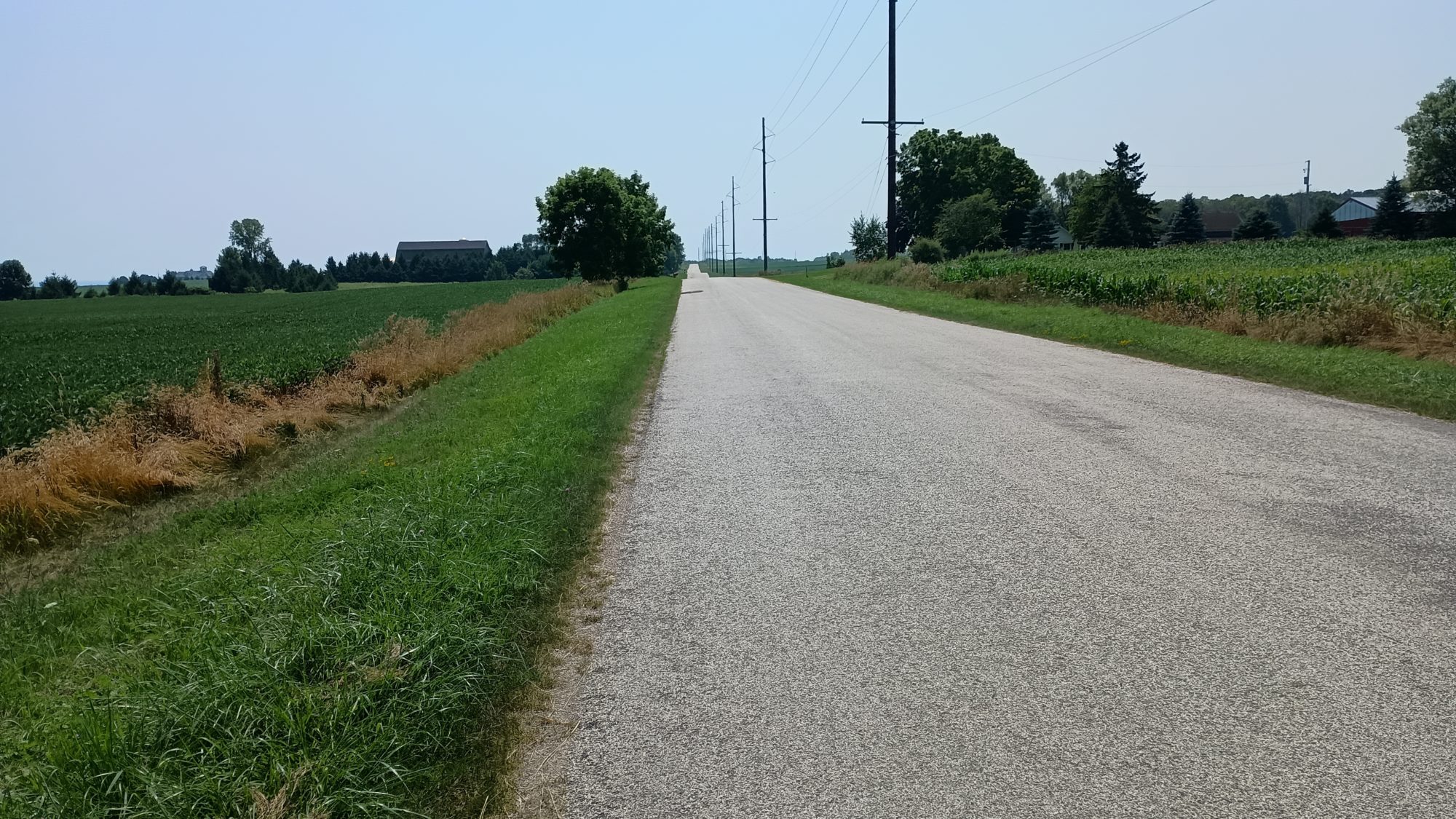
The road winds through small homes and there are some corn fields. It has a more homey feel than the previous large road walks. I am enjoying myself so much that I don’t realize when I pass my turning point. When I come to the next intersection where I think the trail turns I find out that I’m already a half a mile past the turn. This is in addition to missing a turn a few hours ago that cost me a quarter mile back track. I don’t need another half a mile backtrack.

After looking at the map, I see that the trail probably went down power lines. The trail was so straight I assumed it was a road. No matter, if I keep going forward I will hit another road that will intersect me with the trail within a mile. After this mishap my extra mile of road walking probably replaces 2 miles of trail walking. Oh well.

Once I rejoin the trail it heads straight up a really tall esker. Back to slow speed again. But I still have time to make town well before dark. The last mile and a half of trail go quickly. And before long I’m descending off of the escrow and I can see the town ahead of me. Best of all I can see a Culver’s restaurant right where the trail lets out. Dinner is served.

The hotel is only two blocks away, but it is only about 15 minutes before dark at this point. The combination of just eating and having your blood surged to your stomach, the cooler temperatures from the Sun going down, and the breeze blowing pretty strongly, make me shiver pretty strongly as I’m walking the two blocks to the hotel. I’m not really that cold but I am shivering pretty badly. So I just lean into it and exaggerate the shivering just to have something to keep my mind occupied.

Once in the hotel, it’s shower time and laundry time. It does feel weird staying in so many hotels, but the high humidity and hot temperatures of the last few days make hiking and olfactorily unpleasant experience. Hiking on the west coast in the dryer climate is definitely a different experience.

The weather today was perfect. The strong breezes helped dry out the grass but the lack of Sun also slowed it. My feet were wet the first two hours which is expected. It was nearly all trails so that was good. All in all it was a pretty good day despite the length of it.

Emotion of the day, Uncertainty

I had so many options today that it was mind-boggling. It was both exhilarating and unnerving at the same time. It was anything but boring.

I did a 27 Mile road walk a few days ago out of necessity. Doing 30 miles today was completely optional. I wouldn’t normally want to go that far so early in the trip but my body kept telling me that it was okay with it.

I was uncertain that even trying this long of a day so early in the trip was a wise thing. For today it seems like the right choice. Let’s see if tomorrow agrees.

Small mixup publishing Day 0 and 1

I just noticed that the posts for Day zero and one were scheduled but we’re never published. I just manually published them, so if you’re reading this blog live you might want to jump back to Day zero and Day one. As happens on some of these hikes, the travel day to get there is sometimes the most exciting part.

Day 9, Trails at Last!

Don’t get too excited there’s still a lot of road walking. But the day starts on a trail and ends on a trail so that’s a good day.

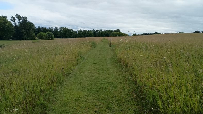
Even though the grass was freshly mowed, my shoes still get soaked walking in the grass within about 10 or 15 minutes. The morning is cool but it is full sun with no cloud cover. Luckily there is tree cover so I don’t need to use the umbrella yet.

The first 3 hours of the day feel like a pogo stick. I’ll hike on a trail for a mile then on a road for a mile then on a trail for a mile and a half then on the road for a mile and a half. This repeats all morning until the final one mile road walk into a small town with a restaurant and a gas station.

The only break from the Pogo routine is in Elkhart Lake. This is where the Road America track is. For nearly an hour as I circle around the racetrack I can hear they have an event going. I’m not close enough to see the track like I was with lime rock in Connecticut on the Appalachian Trail. But I did take a little video where you can actually hear the sound of the cars in the distance. But I can’t figure out how to add video to a post. Try the url https://ewokthetrail.com/wp-content/uploads/2024/08/VID_20240808_0838465472.mp4

It is only 10:30 in the morning, so I will stop at the gas station first and try and dry my shoes out while I drink some Gatorade. I kill 30 minutes then head over to the restaurant and have a brisket sandwich and fries. I bought a coke at the gas station but I will wait until this afternoon to drink it.

The one mile out of town is the last road walk for the day, and it is just now 12:00. I am now entering the Kettle Moraine. I’m not sure exactly what that term means yet but I’m sure I will find out. It looks like for about the next 40 miles I will be crossing roads instead of following them.

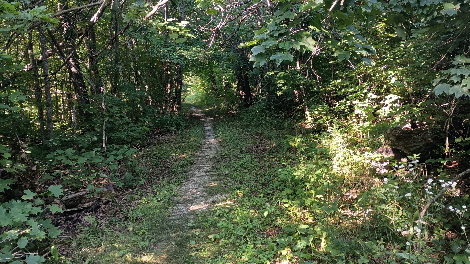
The downside to having trails to hike on is that the mosquitoes are very thick and the trail actually has some elevation to it so I’m not hiking as quickly. On the roads I go about 3 mph like clockwork. On this Trail it’s closer to two and a half but can creep up a little bit if the trail is flat.

The way the trails are laid out here feels like the Appalachian Trail. There’s not much elevation change to the terrain but they make sure that the trail sees all of it just because it is different and unique.

That’s what makes the Appalachian Trail so difficult. It was designed to string together existing trails for the most part. And the existing trails in every town where trails to go to the highest point near the town. So therefore the Appalachian Trail goes about as high and low is it possibly can in each particular area.

The trails here in Wisconsin are the same. It’s not everyday you find a mountain made out of rocks and sand deposited by a glacier. So let’s see how many of them we can climb. It’s not as steep as the Appalachian Trail but it is slowing me down a little bit.

Slowing me down is actually better for the body because it distributes the abuse around more areas of your body instead of letting it concentrate on fewer. Walking on flat ground you can overdo it without really even knowing that you’re about to break something. Walking in up and down terrain kiss your body more time to tell you when it’s too much.

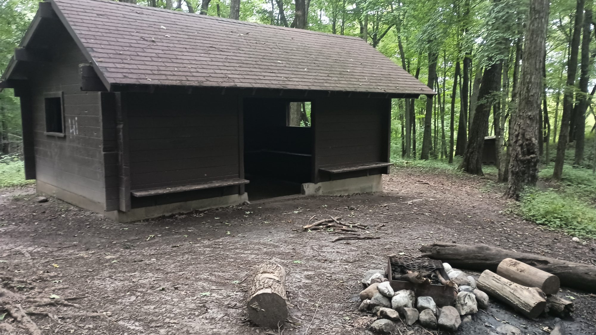
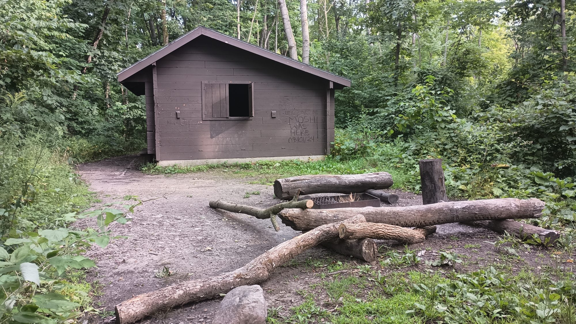
The shelters in this park are three-sided concrete buildings with a doorway and two windows on the sides. They have either dirt or concrete floors. You must call to reserve one if you want to use one. I don’t want to use them because I want to be protected from the mosquitoes. But I do intend to camp nearby.

My goal for the day is shelter number four. This would give me a 20 mi day with a mix of road and Trail. I should get there by about 5:00.

But right now all I can think about are mosquitoes. They are absolutely Non-Stop. I’ve got bug repellent on and I’m using my bug net but there’s still annoying. When I come to a highway where I need to cross underneath it through a tunnel there is a really strong breeze. The strong breeze blows the mosquitoes away so this is where I will take my break.

I relax for over 30 minutes in this spot. This is also where I will drink the majority of the coke since it is close to 2:00. Like clockwork before my break is over I can feel my energy returning. Caffeine and sugar is a wonderful combination. To take best use of it I should start hiking now so I can burn the sugar as fast as it enters my blood.

Drinking the Coke does help in the afternoon. But by the time I reached the shelter I am pretty tired. I was going to use this stopping point to decide if I should try and push five more miles or not. The day after tomorrow would be a short 10 Mile day so if I could knock half of it out today and half of it out tomorrow I could actually eliminate an entire day from my schedule.

The shelter is on a high point and there is a good breeze. The good breeze means there’s almost no mosquitoes. But there is no level ground around the shelter to pitch my tent in the floor is concrete. So I will not be staying at this shelter.

Looking at the map at the point 5 mi beyond this it looks like a low-lying area with swamps and lakes all around. I have the time and the energy to make it. But I am certain that it is full of mosquitoes. The next high ground looks to be about 8 Miles and that’s too far for tonight.

So the very next high point I can find is only a quarter mile further on the trail. High points mean breezes and no mosquitoes. And they also mean that the ground is potentially level or at least level enough. As long as the vegetation is not too thick and it is not too Rocky it should make a good campsite.

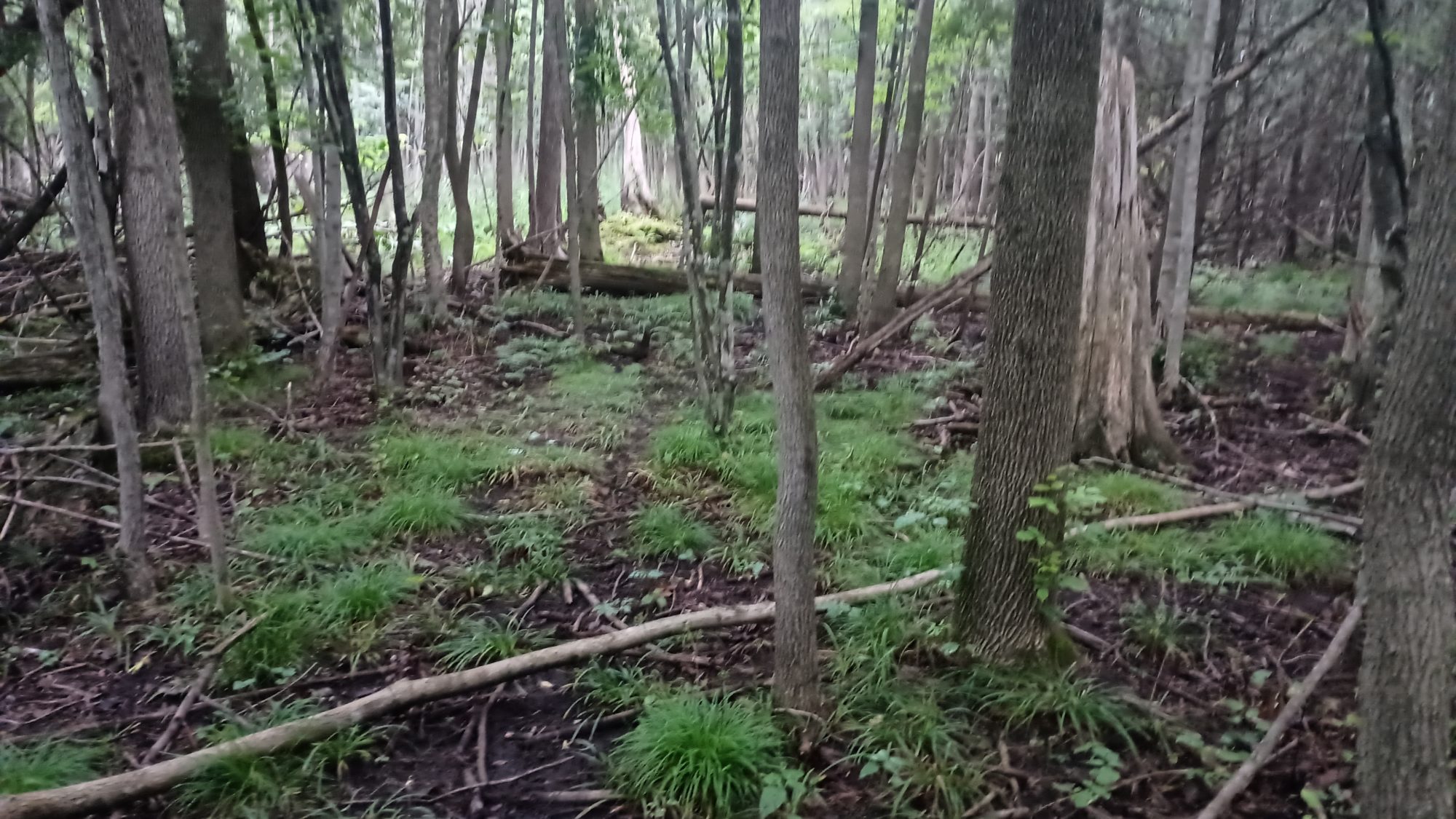
After only 10 minutes of hiking I am there. The high point on the left is fairly heavily vegetated so it’s not such a good spot after all. But to the right of the trail is a gentle knob that didn’t show up on the terrain map. There are three or four places that are flat enough to pitch tents and look to be free of trees or rocks. I pick one and set up camp.

So with the decision made to stop here, it will leave 20 or 21 miles for tomorrow and about 10 for the day after that. The 10 Mile point is my resupply where there are several restaurants. And there are also hotels.

I will wait until tomorrow to decide if I intend to go into town or to just keep hiking past it after resupplying. I know I will be hiking through little towns where I will only need to carry one day’s worth of food for a few days. But I don’t know what the camping situations are and the mix of Trail and roads. So the 10 to 30 miles after the town will decide whether or not I stop in the town.

Emotion of the day, Excitement

Annoyance from the mosquitoes was a close second but there’s plenty more days for that emotion to win later in the hike.

I was excited to find out there was a restaurant and not just a gas station in the town this morning. I thought I was going to be eating a frozen burrito out of a microwave.

I was excited to find out that this 40 mi section is going to be more hills than Meadows. I like Meadows but they get old especially in the morning with dewey grass to soak your feet. I would much prefer forest trails in the morning to make some miles with dry feet.

Tomorrow should be nearly 100% on real trails and not road walking. Only half of today was on trails. So maybe tomorrow will be twice as exciting.

Day 8, Roadwalking from Manitowoc

Breakfast begins at 6:30 but I wish it was earlier. Today is going to be a very long day and I need every daylight hour that I can get. Breakfast is done I am packed and I am out of the hotel by 7:15.

I was unsure how crowded the road would be with morning commuters. It turns out to be much lighter traffic that I was expecting which is good. It also helps that I am going further away from town and the traffic gets less and less.

It is only about 4 MI to a Mobil gas station. I stop to get a Gatorade but end up buying two 12 oz Squirts and an ice cream sandwich. It is not hot out yet but the Sun is in full force so the umbrella is all I have for shade. I down the ice cream in one of the Squirts and head back out.

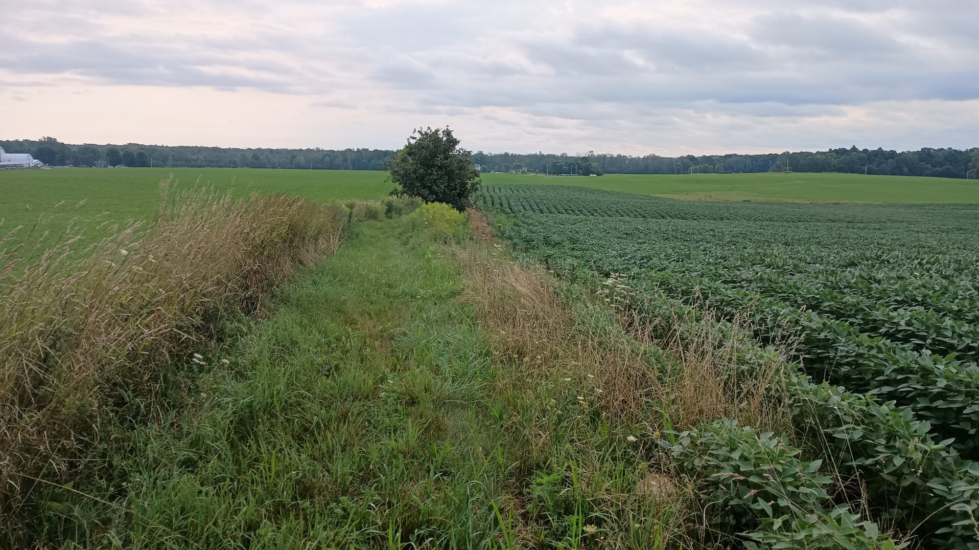
Once I turn off from the first road, which has been going parallel to an interstate, it turns into familiar cornfields and soybeans. I have about 10 turns for the day so I do have to pay some attention to which roads I cross and which roads I’m looking for to make the next turn.

The next big turn I’m looking for is highway 42. This should have the most traffic I will see all day, but also leads to the bar where I will be getting lunch. When I start walking on 42 the traffic is far less than I was expecting in the shoulder is a good 3 ft of grass in addition to two feet of pavement. I could have started walking this earlier and saved more time if I had known.

I hit the bar right at noon and head inside to grab a fish sandwich and potato wedges. I drink water with my meal but order one Pepsi as a coffee substitute before I leave. It is a little early for the caffeine yet but this will have to do.

The rest of the road walk of the afternoon is similarly unremarkable. This road walk ends when I hit a park and that should be about 4:00 p.m. before I get there.

When I find the park I hit the bathrooms and take a quick little break to snack. They might have running water but the park is so big I don’t bother with going all the way across the parking lot the larger building to find out. I have enough water to get me to my destination so I keep moving.

This park will be about one and a half miles of trails. There are other hiking trails and some horse trails so I will have to pay attention to the turns. Everything is well marked so it is not a problem.

The surprise to me is that these trails actually have some elevation change to them. It’s not steep like many sections of the Appalachian Trail, but it does get your heart rate up and slows you down a little bit. I wasn’t counting on this because I still have another road walk to hit before the trail area where I can camp. This is a day use only Park.

The trails give way to a path between two fields and out to a road again. I am officially road walking again. The road crosses and then parallels the Sheboygan River. This is one of the potential water sources but I don’t like drinking out of large rivers like this.

After 2 mi along the river it turns to cornfields and soybeans again. I only have about 3 mi left to get to the next Park. What I was not counting on is the last turn about a half a mile before the park has a saloon on the corner that is open.

By this time it is already 7:00 p.m. if I stop eat something then I will get to camp in the last bits of daylight. I could also refill water here. But if I keep going I will be at camp within 20 minutes and we’ll have an hour of daylight to do all my chores. There is a creek just past the campsite where I can get water but I’m not sure how good it is.

I decide to just keep moving and get to the campsite as originally planned. The grass is overgrown and hasn’t been mowed in a while so I’m glad I’m doing this with some daylight and not in the morning. By the time I get near the camping area the grass has been mowed very recently. This would be awesome if it was mowed the rest of the way to the South so that when I leave in the morning I will have Short Grass to walk in and not tall grass that would soak my shoes.

The campsite is off a side Trail and up on a hill. They have put the camping post on the flattest part of the hill and a bench on the second flattest part of the Hill. Everything else on the hill is relatively sloped except for one small bump. This is where I will pitch my tent. It’s a bit sad that two of the three best places to camp is where they decided to put immovable structures.

I run down to get water after pitching my tent just so I don’t have to deal with it in the morning. The creek looks decent and I get enough water for tonight and tomorrow morning. After filtering half of the water I begin cooking dinner of lasagna. It is just starting to get dark as I begin to eat so my timing today has been perfect. I don’t regret not stopping at the saloon to eat instead.

Emotion of the day, Fatigue

The morning went by perfectly. I got to my lunch spot on time and never ran out of water. Even though the sun was out in full force, I had a cool breeze most of the day. But the lunchtime Coke was a mistake.

Around 2:30 or 3:00 is when the energy runs out. It’s as if the body knows it’s already done in 8-hour shift and is refusing to work anymore. That’s what 3:00 coffee is supposed to combat. But since I already had my caffeine for the day I don’t dare risk drinking a coffee this afternoon. I just have to push on through the tiredness.

And as usual if you can keep pushing until 5:00 you’ll get a second wind. And that indeed happened today. When I got to the park and was able to use the pit toilet and have a little snack and drink I was ready to go again. But the hills in the park chipped away at some of my enthusiasm.

Long days like this will come again in the trip. They are just harder to muscle through this early in the trip. In another week or two this will just be another regular day. But I will also remember not to drink caffeine too early in the day. Timing is everything.

Day 7, On to Manitowoc

It’s a short 13 mile day today from one town to another. It’s a mix of trails, bike paths, and sidewalks. Let’s call it a recovery day.

I wake up early and eat breakfast, but lounge around the room for several hours. I don’t need to leave until 10 today. I spend the time going over my food stash and planning where I will camp for the next few days.

By the time I leave the hotel, it is still overcast and windy – perfect hiking weather. I only need to hike a little over a mile to get out of town into the first trail section. It is called the dunes section, but I don’t see any dunes. It is mostly pines and cedars with some swamp hardwoods and meadows mixed in.

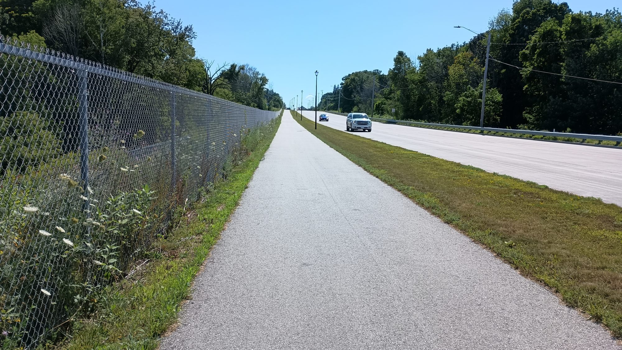
After a few miles of that, the trail drops me out on the main highway to Manitowoc. I will be on a bike trail for the next five or so miles into town. By now the clouds are gone and the sun is out. The cool breeze makes it pleasant hiking. I take a break by the shore of Lake Michigan to eat my lunch of leftover pizza.

The path through town twists and winds all over the place. This is an official route marked in blue on the map. I have to follow all the twists and turns. Green marked road walks you can pick your own route.

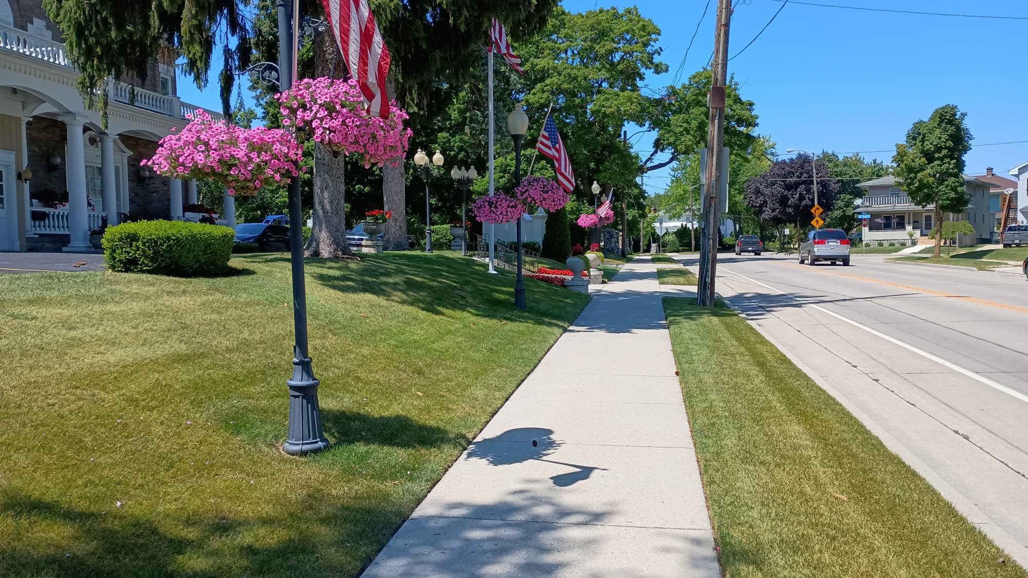
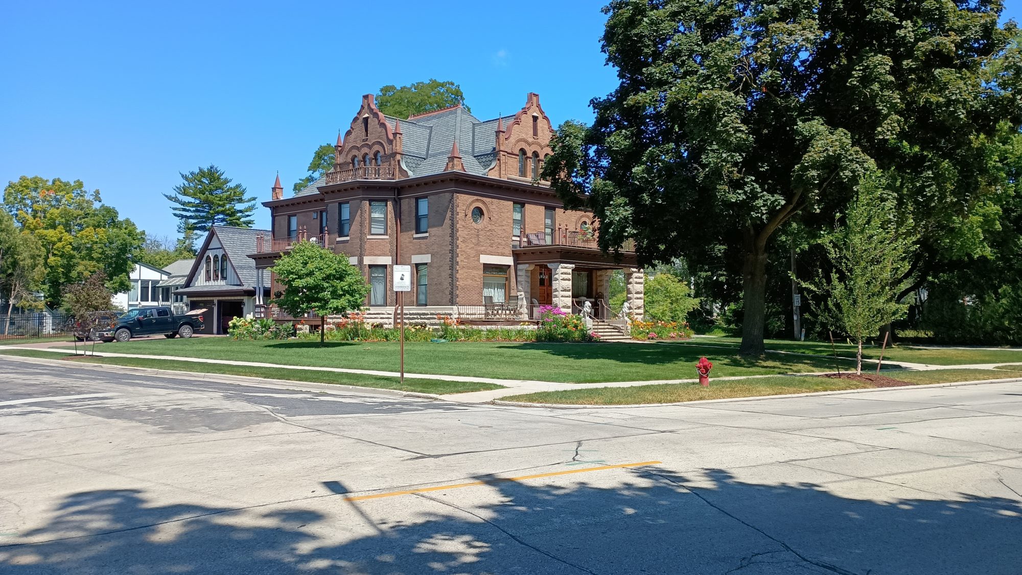
It doesn’t take long for me to figure out the method to their twists. They are taking us to the city’s highlights. Starting with the waterfront downtown. Then moving uptown to Union Park. Then by the side of the river. Followed by a pass along evergreen cemetery and the final crossing of the river.

Now we are back to trails. It is about one and a half miles through a park and then another one and a half miles to where I will diverge from the suggested route. The park is along the other bank of the river and wines along its banks and up to a lookout point high above the river.

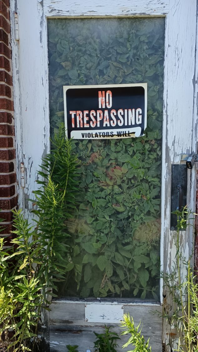
Trespassers will be consumed by vegetation

I stopped to chat with a local, in fact the first local that I’ve met that even knows what the Ice Age Trail is. She lets me know about a Mexican restaurant that is just a few blocks from my hotel.

I finally find a convenience store just after 3:00 and stop to grab a Coke. Since when did a coke cost $2.50. I sure am glad I don’t normally drink these but I think this will be my coffee substitute for today.

I checked into the hotel, got a quick shower, then checked out my potential stops between here and my next resupply point. There are more convenience store and restaurant stops along the way then I thought. Instead of buying three full days of food I really only need to buy two breakfasts and two lunches.

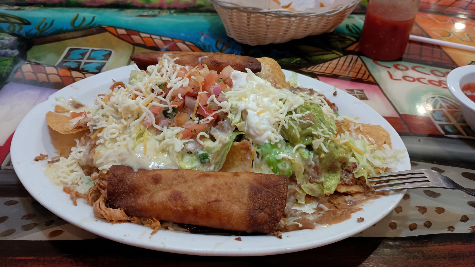
With my shopping list in hand a head over to the Mexican restaurant. It was worth the stop. The grocery store is just a few blocks further. With all my chores done I head back to the room and pack the food in my food bag. Food and water weight creeps up on you very quickly.

I will start out tomorrow light on water and then pick some up at a convenience store along the way. If I stick to the route I have planned it will be a 27 and a half mile day. Plus one extra mile if I decide to stop at a restaurant along the way that’s about a half a mile off my path.

Emotion of the day, Relaxed

I really enjoy getting an early start, so purposely starting late feels kind of weird to me. But it sets the tone for the entire day. Instead of a hiker striving to get to the destination as quickly as possible, I feel more like a tourist.

I take the time to stop and read the various plaques at the parks that I pass by today. I amble along at a decent pace, but without urgency. I feel relaxed because I have plenty of time to complete my day. Tomorrow will definitely be different. The calm before the storm.

Day 6, Some Real Trails into Two Rivers

It rained during the evening but the weather is supposed to be quite pleasant today. I have a long hike into Two Rivers today and it would be nice to have cool weather rather than hot sun.

I am up and moving by 6:30 as the trail continues through the woods where I have camped. This is a dispersed camping area, but there is no clear ground. You just have to find an area with fewer sticks and rocks than the other areas. And at this site the slugs are covering my tent which takes an extra few minutes to clear them off.

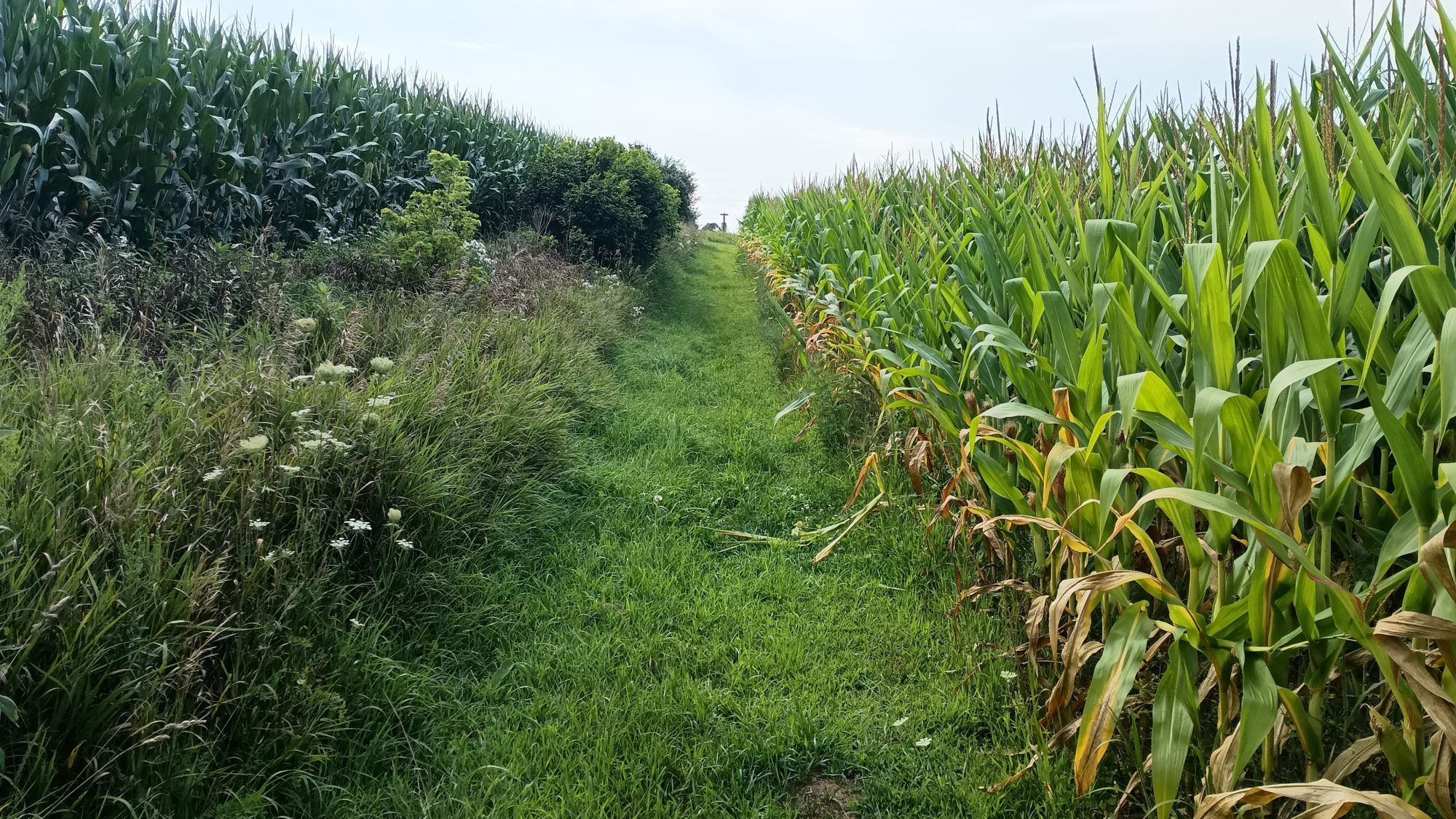
It is only 3 mi to the town of Tish Mills, and my destination there is the Dollar General. Much of the three miles is in between rows of crops. It reminds me of hiking across the Cumberland valley on the Appalachian Trail. My feet get soaking wet but it is easy hiking.

I have to kill a little bit of time before the store opens so I stop at the park to empty my trash and fill up my water bottles. I also change into dry socks so my shoes will dry out faster for the 6 miles of road walking I have ahead of me.

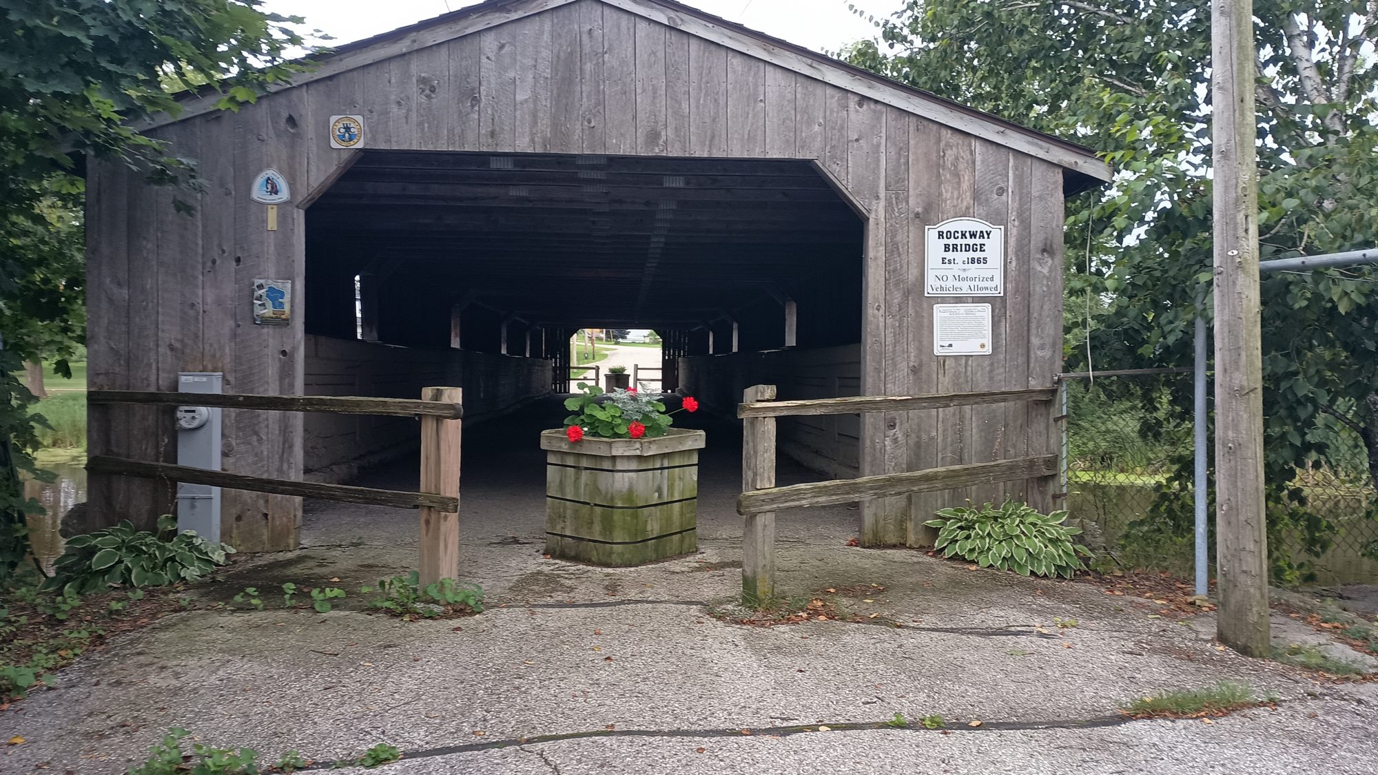
The trail goes across a covered bridge to get to the park. It’s probably the sturdiest built covered bridge I’ve ever seen. The concrete railings must be over a foot thick.

At about 8:15 I head over to the store to get my supplies. Breakfast today will be ice cream and lunch will be lunchables and Gatorade. They have a four pack of drumsticks that is about the same price as ice cream so that will be the perfect snack I can eat while I’m walking. All four have been consumed by the time I leave town and I’m able to dump my trash at the high school trash cans.

The morning will be about a 6 Mile road walk to get to a State Park area. Once I hit there I will be on actual trails until the last few miles into the town of Two Rivers. The road walk is a repeat of corn and soybean fields.

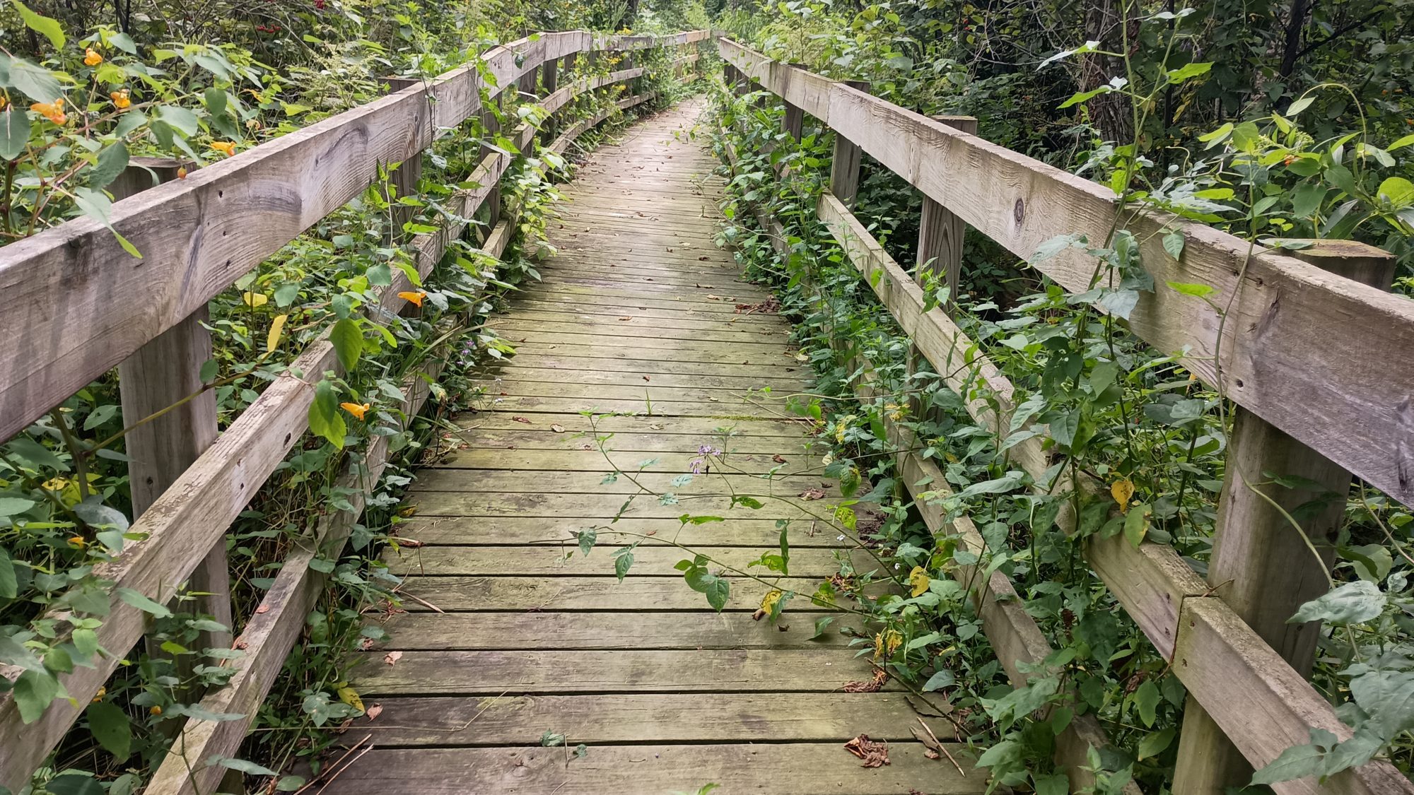
The trail begins in some sort of a school property and not actually the state park yet. The trails are nice but they are dancing in and out of swamps and across a very long boardwalk so the mosquitoes are pretty heavy. The swamps give way to pine forest but the mosquitoes are still present.

Once I am in the park you can hear the waves of lake Michigan. The trail is again through swampy areas but the mosquitoes are not quite as bad as the previous few miles. I guess being closer to the lake helps because the breeze is a little stronger.

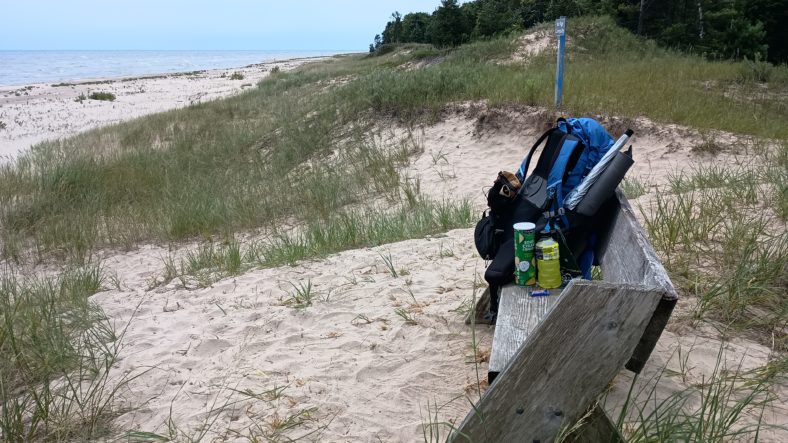
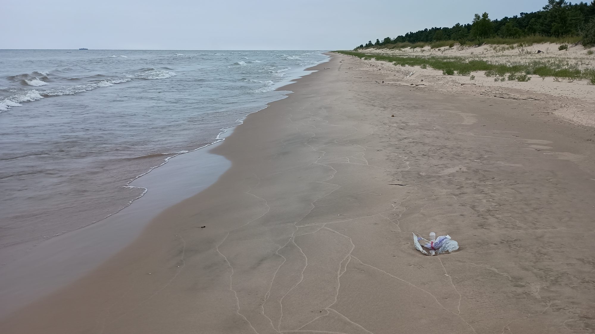
My destination for lunch is the hiker and kayaker campsite on the beach. When I get there I am surprised to see that it really does look like a beach that would be on the ocean. There are coats there are sand dunes and there are waves about one and a half foot tall.

After I finish my lunch I walk down to the shoreline to feel the water. It is not cold at all and of course I have to taste it. The water is obviously fresh water and doesn’t taste like salt. This messes with my brain pretty badly. Waves are supposed to be salty.

I keep making my way down the trails which intersect with other loop trails and bike paths. But before long the trail heads straight out onto the beach. For the next 2.1 miles I will be walking on the beach sand. The sand is very soft, and there is not much of an apron of compacted sand near the surf.

Only 20 ft of walking in The Sand convinces me I should try closer to the water. The hiking is much easier but it is a pretty steep slope which doesn’t bother my ankles. The only problem is I have to keep pretty vigilant on the waves to not let them soak my shoes.

I apparently made good time on the beach, because I almost missed the exit point. I saw a structure in the distance and thought that must be the exit point so I decided to check my map. The map told me I had just passed the exit point so when I turned around I indeed saw the sign up on the dunes telling me to exit. Luckily I only went about 20 yards too far.

From the exit point it is now about 2 miles of back streets into the town. The road that is on the beach is one way only and has adequate pavement for bikes and walkers. It is a very nice setup.

It started to sprinkle on me while I was on the second half of the beach walk. But now the rain has let up so I can put my umbrella away and enjoy the sights. I can see the hotel from about a mile away so I know I’m going in the right direction and exactly how far I need to go.

Once I am at the hotel, I discovered that they have guest laundry. This will be chore number two after getting dinner. But right now a shower is chore zero.

I relax for about an hour before walking next door to grab a pizza. As is usual I order one that is too large. I order a 16 inch when I should have ordered a 12-in. I can barely eat half the pizza. I was wanting to have leftovers for tomorrow’s walk, but a half of a pizza is more than I was anticipating. I am not planning on starting hiking tomorrow until 10:00 a.m. so I guess Pizza will also be second breakfast.

I watch another horrible Star Wars movie while I am doing laundry. When will I ever learn. I will use the extra hours I have in the morning to catch up on email and blogs and planning out the next few days. I need to do a better job of food resupply because I have been carrying far more food than I need so far during the hike. Later on in the hike, I will have a 6 day and a 7 day carry. So I need to be more efficient in carrying only what I need for the next section.

Emotion of the day, Rhythm

I’m not sure you can call rhythm and emotion, but that’s what today felt like. Packing up this morning went like clockwork. The morning road walk to town went very quickly. The time spent in the Dollar General was minimal. The rest of the road walking and hiking on the trails just felt like hiking.

It feels like intuition is taking over a little more, and I am having to check the maps less and less. Even nearly missing the exit from the beach seemed like good luck. But somehow I just knew it was time to get off the beach.

I am not even dreading the road walks anymore. I have another long one the day after tomorrow. And it’s just a matter of looking to see if there are places where I can get water or not. I think I am finally into the rhythm of hiking again.

Day 5, On the Roads Again

Staying at Janda’s last night was definitely the right move. My foot and calf were sore for most of the night. But this morning they are in perfect shape other than being a little stiff. What is not in perfect shape is my headache. I’m not dehydrated so it must be caffeine withdrawal because I had no caffeine yesterday afternoon or this morning.

A caffeine headache is nearly impossible to get rid of. And even though I got an early 6:30 a.m. start I’m only moving at about 2 mph. I should be closer to 3 mph. My

I ate as much granola as I could tolerate this morning. I had a little bit of Gatorade and some water. I should be hungry but I’m just not. In fact I feel a little nauseous.

At about 9:30 a.m. I force myself to eat a nut bar. I should be hungry but I just can’t get the urge to eat. My nose starts to run a little and then I panic. I am beginning to think I have covid. But I don’t have any fever at all.

By 10:30 I am dragging so I just lay down on the side of the road. If I can nap for 1 hour maybe that will make me feel better. It definitely worked on the Florida Trail when this happened. One of the locals on an ATV stops and asks if I’m okay and I assure him that I am but I’m just tired.

I resume hiking by 11:30 but I am still nauseous and just don’t want to drink or eat anything. I don’t force myself to eat but I do force myself to drink.

I still have plenty of water and when I come upon my planned water stop the stream is too hard to get to. I am only a few miles from the next one where I will actually be on a trail and not a road. So I just keep on moving.

When I get to the end of the road walk where it turns into an actual trail, I decide to take another nap under a giant tree. This one hour nap also fails to make me feel any better.

I am still over 8 mi from my stopping point so I just need to get up and go. My heart sinks when I discover that my dragonfly has fallen off the pole somewhere on the road walk. So long little buddy it was a good 5 days.

As I walk along the river, I am constantly searching for a place where I can reach the water without having a steep bank of grass. The places where the map says you can get water are definitely inaccessible.

I just happened to stumble upon a nice shady tree that has a path that leads right down to a muddy bank along the river. This one is not on the map. I drink nearly a liter of water and filter another one and a half to carry with me.

I’m finally starting to feel a little better. So I pack everything up and start to lift my pack up. My heart sinks even further than the dragonfly incident when I notice that my tent pole is not in its proper place. After only 10 seconds of searching I realize that it must have fallen out when I took my umbrella out at the beginning of this Trail section.

So I grab my cell phone and wallet (the most important gear) and head back upstream. I use my watch to measure the distance and it is 6/10 of a mile back to where I remember pulling my umbrella out. And right there on the ground is my tent pole sitting on the grass. A quick prayer of thanks and a kiss on the poles and it’s time to get back to my pack.

It is just now that I realize that my nausea is completely gone. So if you are ever looking for a cure for nausea, the only one I know that works is a near heart attack incident.

The good part is that now at least I’m moving my normal pace. I have 7 miles to go and I should be able to do it in well under 3 hours.

There is another 2 mile road walk, then another one mile stretch of trail, then another 4 mile road walk to the place where I’m planning to camp tonight.

I get there right on time. It is heavily forested with white pines along another stream. That means there’s bound to be mosquitoes. It takes a while to find a site because the ground is so uneven. I guess that’s why they call this a dispersed campsite and not a campsite.

I set up my tent quickly and throw everything inside. I wash as much sweat off of my neck and arms and legs as I can and jump inside. I have managed to let in about a dozen mosquitoes with me. 10 of them will be dispatched to their maker within minutes.

I have almost 3 hours until dark so I can afford the luxury of resting before trying to cook. I will cook just outside of the tent by reaching my hand through a smaller hole as I can leave in the net and still get things done. But I will definitely be eating in the tent tonight.

I still have a very slight headache but the nausea is completely gone. I am hoping that tomorrow I will feel like a million bucks.

Emotion of the day, Fear

I knew when I woke up with the headache that it wasn’t going to be a good day. But then when I got nauseous and then panicked and thought it that I had covid I wasn’t sure what to think. If I really did have covid how would I get off the trail?

Is it polite to call for Uber when you have covid? Probably not. Is it polite to hitchhike when you have covid? Probably not. I guess that leaves calling 911. Let’s hope it never comes to that.

There is always some degree of fear when you’re through hiking. Something bad could easily happen. A hurricane is headed towards Florida as I’m writing this. So even external forces can end a through hike.

Today was as close as I have come to thinking I might have to end through hike. Fear can come from a million directions. Just don’t let it stop you for the wrong reasons.

Day 4, Road Walk to Nowhere

I slept well last night. I was rested, I was fed, I was watching one of those awful Star Wars movies. I think the movie is what put me to sleep.

Breakfast at the hotel was interesting. There were boxes of cereal with random bags of cereal in them. I reached for the mini wheats and ended up getting cinnamon toast crunch. I guess that will do. Add a bagel and cream cheese and some coffee and I am set.

I am able to leave town by 7:15. It is nice and cool walking through town and there is a wonderful breeze. But today is supposed to be a pretty hot day.

You leave town on one of the rail trails and it is heavily wooded most of the way. We are hiking along the banks of the Kewanee River. I have loaded up with four and a half liters of water and Gatorade. I concentrate on drinking the water first because it is the only thing that I can replenish today.

A few hours into the hike I am actually passed by another hiker. He is a local who is section hiking 15 to 20 mile chunks at a time. He has a ride at the end of the rail trail so his pace is much faster than mine. I have to keep my speed down so that I don’t overuse any part of my body for a long day of hiking today.

The rail trail is about 14 miles long. And then it is about 20 more miles of continuous roadwalking. Where I will end up tonight I am uncertain but I am shooting for a restaurant in Ellisville that lets you camp in a field behind the parking lot.

By the time I get to the last point on the Kewanee River where you can get water, I discovered the slope is very steep. It is too steep for me to even think about trying to get water. If I had bothered to read the comments in the hiking app I would have seen that.

I have only gone through just over one liter of water so I’m not in dire need of it yet. There is still one more creek that I will cross about four miles into the road walk. I will concentrate on drinking as much water as I can before then so that I can make best use of refilling my bottles.

When the trail ends, there is a parking area with some picnic tables that I can drag under a tree for some shade. There is also a porta potty which is conveniently timed. I try and make a fairly long stop here and eat and drink as much as I can to be well rested before starting the road walk. By the time I leave it is still only 12:30 and I have already done 14 miles.

The road walk has absolutely no shade so the umbrella is a necessity at this point. Silly me makes a wrong turn before the first intersection. I turn one road too early and it has me bending back towards the way the trail had approached.

I see on the map that I can keep going and reconnect with the official route with probably only a half a mile of wasted travel. At this point that is better than backtracking to get back to where I should have turned.

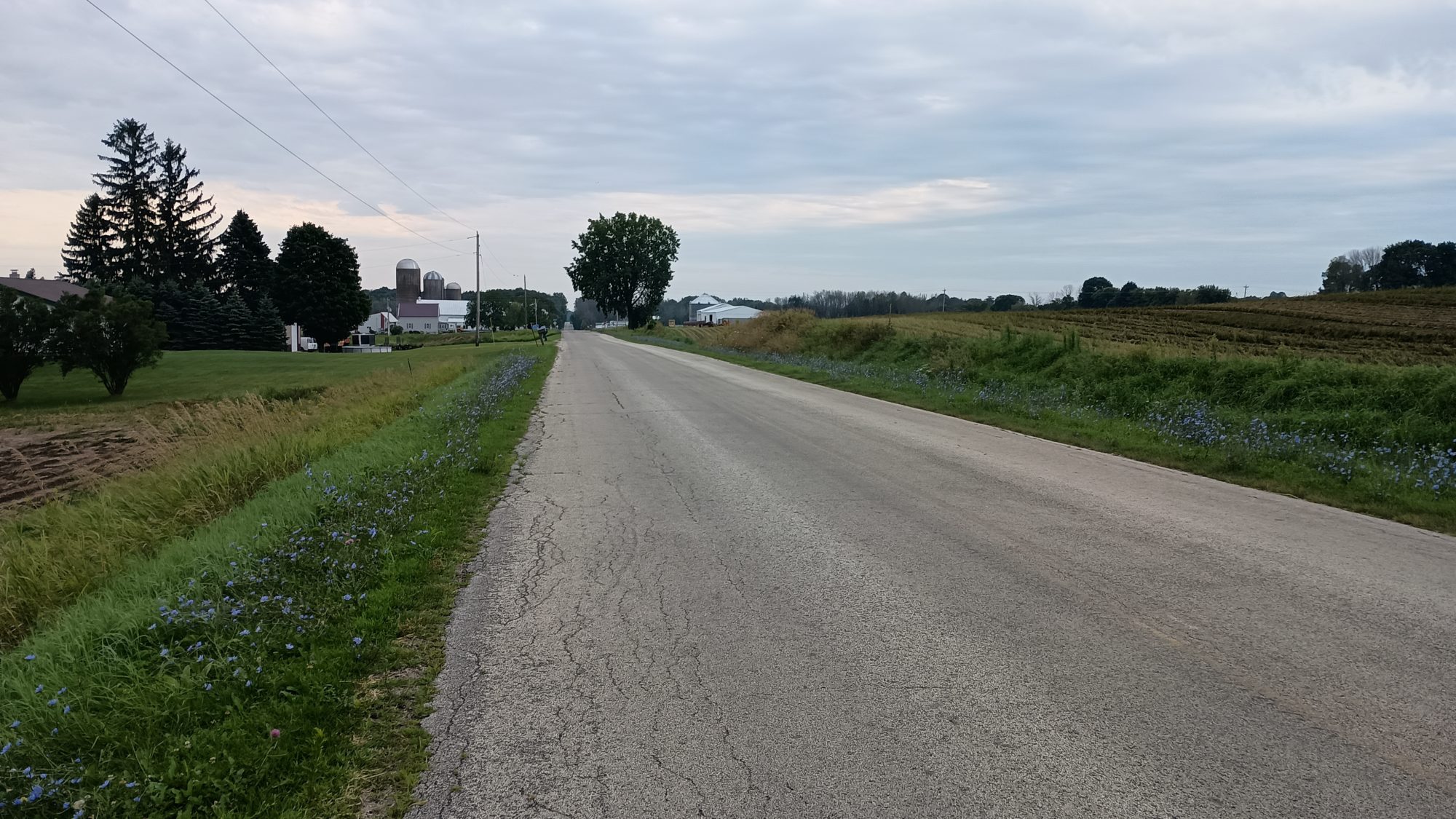
The roads are very lightly traveled. They are through mostly corn and soybean with a few wheat fields and another grain I don’t recognize. They are at least nice roads to have to do a long road walk on.

After I get back on the official route I will only be going a mile further before I purposely turn a different direction to head to my destination in Ellisville.The official route is on smaller roads but takes an extra 2 miles to get to almost the same place I’m headed to.

Where I turn takes me on a larger road with more traffic including trucks. But I will only be on it for two and a half miles to Ellisville. After Ellisville I will be back on the official route and on small roads again.

About 1 mi from Ellisville I see a Lutheran Church with a ball field across the street from it. The church is in bright sun but the ball field has a heavily tree covered area and I can see picnic tables underneath. This is the perfect spot to make a decision whether to try and stop and Ellisville or to try and keep going.

If I try to camp at the bar then I only have one more mile to go. If I decide to go past the bar then I have 13 more miles to go. I decide to rest here for 30 minutes to see what my body tells me to do.

There is a big difference between a 20-mile day and a 32-mile day on the 4th day of a trip. By the time I am ready to leave my left foot is a little bit sore. That is the decision maker. I will try to stop in Ellisville.

When I get to Janda’s bar in Ellisville, I discover that it is packed wall to wall full of people. Apparently someone is having a retirement party tonight and it looks like the entire town is here to celebrate. I managed to find one seat at the very end of the bar and order a chicken sandwich and fries and end up drinking three glasses of water.

They are all very friendly inside and the bartender says it will be no problem if I wanted to camp in the field out back. The decision has been made. Out back the field is huge. It’s about the size of three football fields or even latger.

But more importantly there’s a few really large trees casting gigantic shadows where I can rest in the shade. I’m not even concentrating on setting up the tent yet I just want to go rest in the field. I rest in the field for at least 2 hours before even starting to make camp.

The traffic that goes by is very interesting. There are the typical teenagers in diesel trucks rolling coal as they drive down the street. But then there is also a hayride on a very sophisticated wagon with gates and railings all around it. Just another Saturday night in Wisconsin..

Emotion of the day, Nervousness

This will be my first big day of the trip. If things didn’t go smoothly then this could have been the first really, really big day of the trip. I was nervous not knowing if Janda’s would allow me to camp out back. I was nervous not knowing if I had enough water to actually make the distance to Jandas. I was nervous not knowing if I would be able to get water from the stream I intended to get it from. And I was nervous not knowing if my feet were ready for a long road walk at the end of the day.

As it turned out everything worked great. The location where I got water was fine. It was a bit of a bushwhack to get to the water but it wasn’t steep. And the water was a little cloudy but after I filtered it it tasted great. And the field at Janda’s turned out to be way nicer than I anticipated. So there was no need to be nervous after all. But I would rather be nervous than be too cocky and screw something up.

Day 3, Road Walk to Kewaunee

Today was the first day where there was more road walking than trail walking. 500 out of 1150 are road miles, so these days will come quite frequently.

Camping in an RV part as a tent camper is not the best experience. There was a shower as well as a pool, but there were also street lights and camper LED string lights all over the place, too.

About an hour after dark it started to rain. I was hoping it would cool things off, but it didn’t. I felt like I was in a small sauna most of the night. I had to keep one flap open to allow the heat escape. It did not get even remotely cool until 4 am.

I must have slept better than I thought, because 7 am came around very quickly. I nibbled on handfuls of granola while packing up. I was on the road by 7:30.

The sky was clear without the faintest sign of clouds. The forecast for the next three days is clear and hot.

There are about two miles of rail trail before hitting the next town of Algoma. It’s a small lakeside town with a few restaurants, one of which is a coffee shop, my next destination. The shop serves both breakfast and lunch all day. I get a chicken and artichoke wrap to go with an Americano.

I hit the convenience store on the way out of town to fill up on water, Gatorade, and some sausage and cheese for lunch. From this point on, it will be all roads for the rest of the day.

I start out on highway 42, which a fair amount of traffic but also has a huge shoulder to walk on. After a mile, the trail turns onto back roads. Eighty percent of them being farmland.

The first two miles of back roads are well shaded, but I have my sun umbrella out anyway. But once the road turns due south, there are large power lines along the roads, so there will be no more shade for a while. I love my umbrella.

I do manage to find a side road cutting into a row of tall pines. Lake Michigan is only a quarter mile away, so there is a nice cool breeze and plenty of shade. I spend 30 minutes there resting and eating lunch. I have more water than I need for this stretch, so I make sure I am drinking it regularly.

The afternoon goes by quickly and before I know it, I am in the next town of Kewaunee. I am a little early, so I cannot check into the hotel yet. All sixteen miles with several stops and meals are done by 2:30. Let’s see what is open in this town. Unfortunately, not much. There is only one convenience store with outrageous prices. Looks like a light resupply today.

I do manage to find a bar that serves food so I grab a quick burger and fries and drink three waters. I guess I was thirsty. At least I know I have enough sodium now.

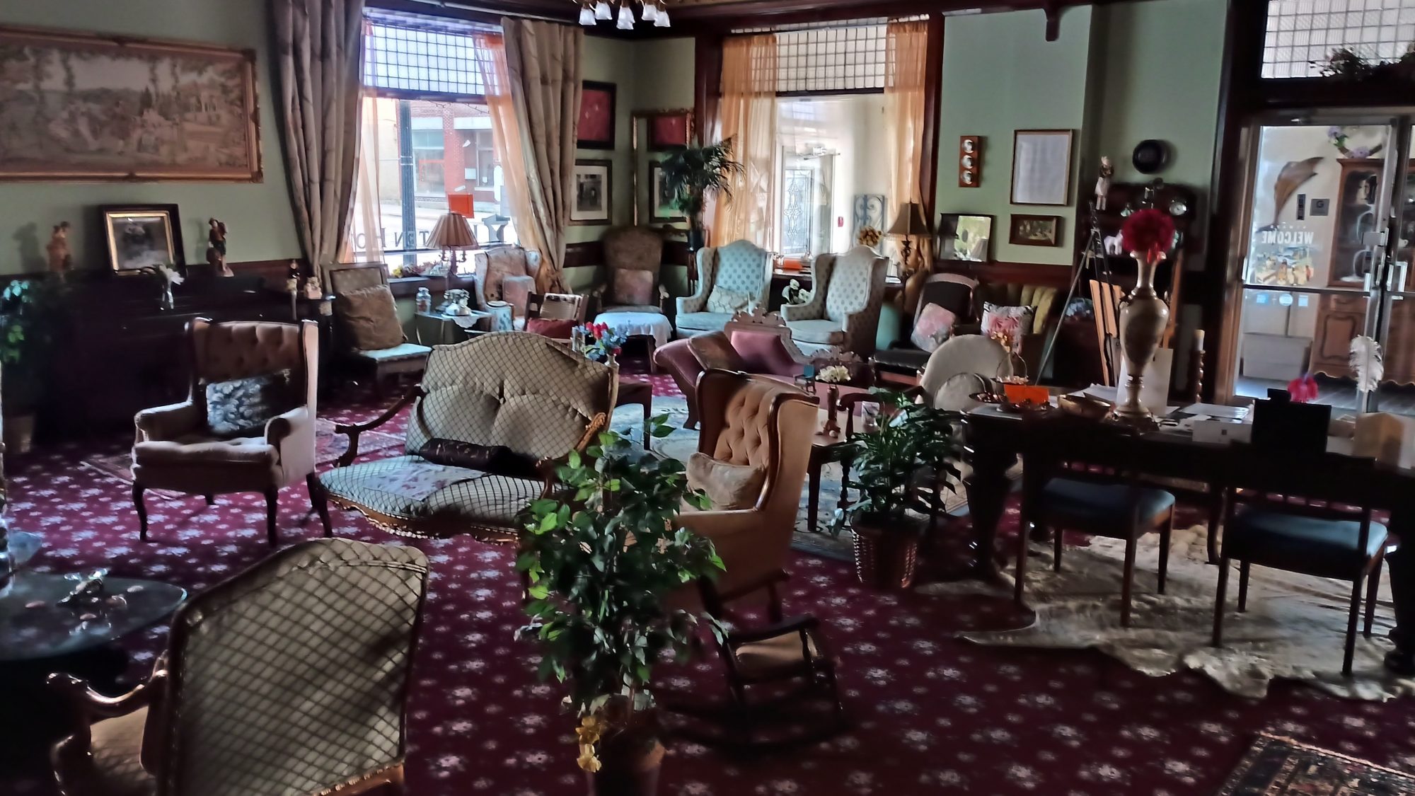
The hotel is very eclectic. It is still decorated like it is the 1930s. The credit card machine is out of paper and the poor clerk is trying to check in three of us at the same time. I finally get my key and head up to the room to get a shower. I will be camping tomorrow after another hot day, so this will be the cleanest I will be for the next several days until it rains.

Emotion of the day, Sadness

I lost my sunglasses today. I did not even realize I had lost them until I was almost into town. I know I had them when I left Algoma. I only stopped a few times, and I am usually careful to check the ground when I leave. But apparently not careful enough. I lost my prescription sunglasses on the Pacific Crest Trail the same way.

But I noticed with the umbrella on bright pavement that I didn’t even need them. I guess I will be using the umbrella more often now. I really liked those sunglasses. It makes me sad to have lost two pair now. But at least these were not prescription.