Today is the last day of this adventure. The cafe opens at 7:00, so I begin packing up at about 6:15.
It has remained cool and breezy all night long and it is very refreshing this morning. The dirty clothes that I have to put back on are not cold and wet for a change.
I am packed up and ready to go about 10 minutes before 7:00, so I head over to the other gazebo where I begin topping off the charge on my phone. One of the cafe workers peeps her head out the window and says that I can come in anytime.
All of the pastries look amazing, so it takes a lot of restraint to only order a cinnamon bun and a breakfast sandwich. The breakfast sandwich is very good but the cinnamon roll is amazing. It is flaky like a croissant. I’m still not completely full so I order another sandwich and buy some of the yesterday’s items that are wrapped in cellophane and on sale. This will make a great Trail lunch.
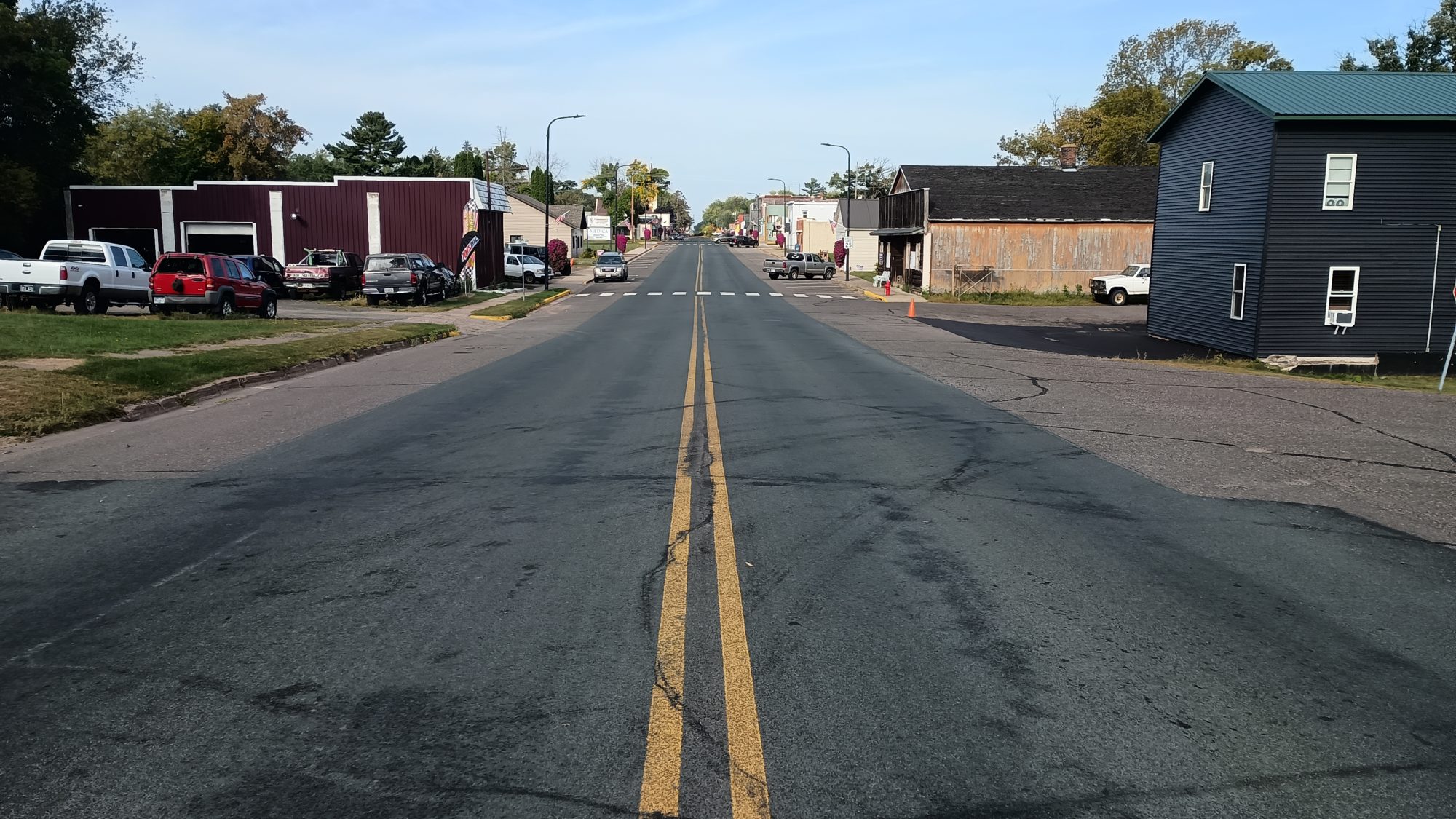
I head out and I’m back on the rail trail by 7:15. The morning is wonderful and cool. There is a grocery store in the Dollar General on the other side of town so I plan on hitting the grocery store to see what I can find to pack out for lunch.
While the grocery store has a pretty good selection, there is nothing suitable for lunch. Everything they have is in large quantities and I just want something simple like a sandwich to carry out. I will head over to Dollar General where I know I can buy single serving items. And the items I buy are very simple – a can of spaghetti and a bottle of Dunkin donuts coffee.
With all the detours, I don’t leave the town of Luck until a little after 8:00. The next town I pass through will be Milltown but it will still be early in the morning. It is still cool and breezy and the trail is crushed rock which is well compacted and very easy to walk on.
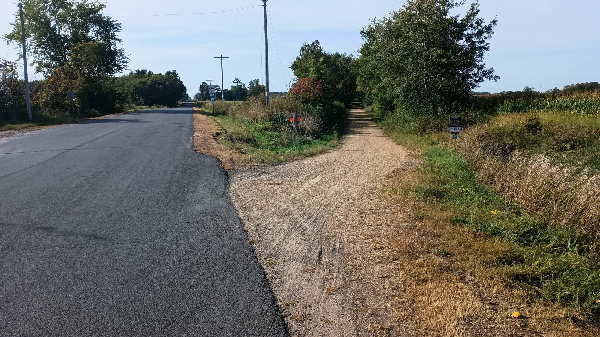
The next town is called Centuria. There is only one restaurant in town that is open and is called 5 J’s. It is now 11:30 so I might as well stop and get a real lunch. It is your typical bar and grill and there is one other customer inside.
The menu is pretty small so I order a hamburger and a Coca-Cola. It takes nearly an hour to get the hamburger cooked and eaten and I don’t leave the bar until nearly 12:30. This is been a very costly one hour break. But I still have plenty of time and should still finish well before dark.
The rail trail continues far beyond this town but I hike only one more mile of it before I begin a road walk. This is a 4-mile road walk to take me West towards the river that separates Minnesota and Wisconsin. This is the last major road walk of the trip. There is very little traffic, but there is also no shoulder so it is a little bit annoying.
The road walk turns northward to take us to the St Croix National Scenic Riverway. I can see the trail heading southward as I walk the road northward. Another one of those annoying little quirks.
But after only 10 minutes on River road, I am finally back on yellow blazed trail hiking along the river. I find a huge tree that is toppled into the river and makes a great seat to stop and have a snack. I try one of the pastries that I bought from the cafe and it is amazing. It pairs well with my Dunkin Donuts coffee.
After my 10 minute snack break I am off and hiking again. There are many little feeder creeks going into the river. Most of them are small but some of them are quite large. There is one called Big Rock Creek that has a big rock at the edge of the creek. It is about 15 ft wide and has no bridge.
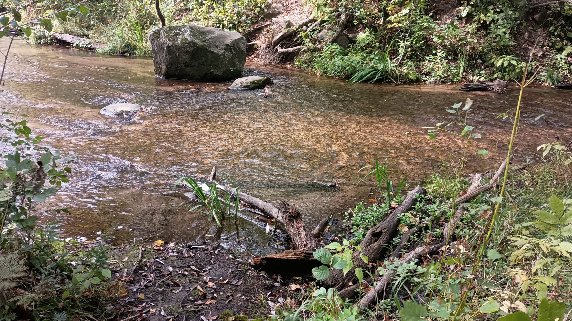
Is there really going to be a ford on my last day? I have brand new shoes and there’s no way I’m getting them wet walking through this creek. Luckily I can spot a log about 60 or 70 yards upstream that looks like an easy crossing. The scramble to get to the log is not exactly easy though. The terrain is very steep but after a minute or two I get to the log and see that someone has saw the top of it flat for very easy crossing. Kudos to the volunteer with a chainsaw.
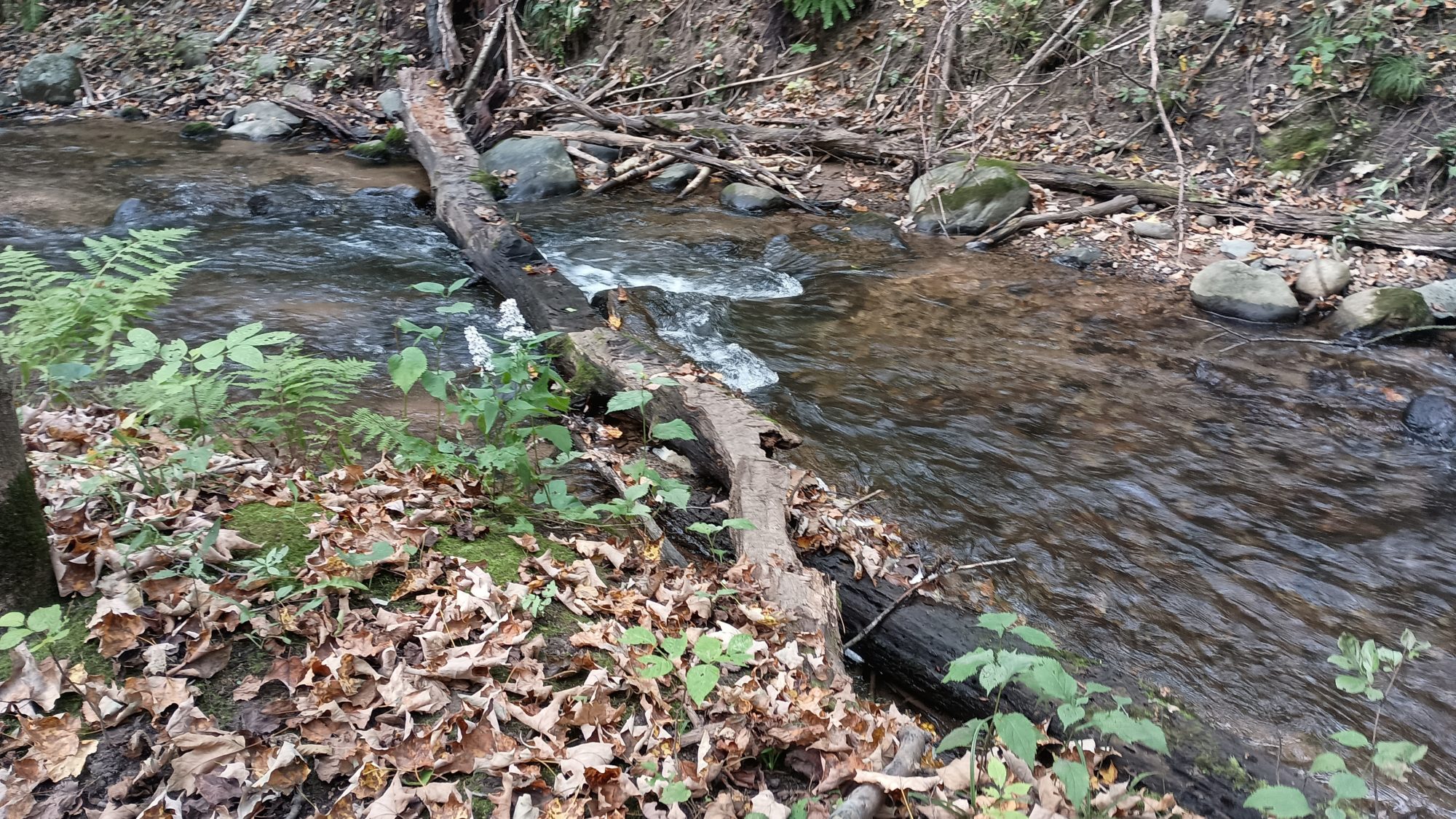
I am on my way again and I pull out my phone to see how many miles I have left. This is when my foot kicks a root and sends me tumbling to the ground again. I can only laugh as I lay in the mud clutching my muddy phone. But I’m not laughing long as I realize I have stubbed the big toe on my right foot and it is quite painful. I just lie in the mud for a minute or two while I clean my phone.
Luckily the spot where I landed was not that muddy so I don’t really have to clean myself. It was just the phone that got muddy. But my foot is quite sore but there’s nothing I can do about that. I just keep on hiking. It quiets to a dull ache within a few minutes.
There is also a primitive camp here along the river. There is a giant camping sign facing the river so this is used for River travelers not just hikers. And the trail from here is very wide crushed gravel and every stream crossing has a wide flat bridge across it. This must be an ADA accessible campground. It looks like it would be easy to travel in a wheelchair.
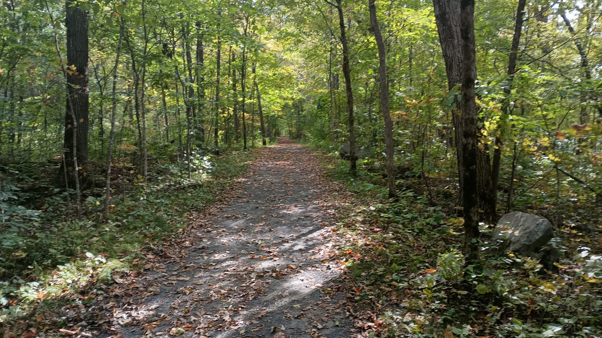
After a few miles, the National Park section is complete and the trail heads across the road to a private preserve. I have seen on the map that this looks like it’s going to climb a large esker. The trail signs indicate that there is an overlook so it looks like I might get another view.
The trail going up the bluff is not nearly as steep as it looked on the map. It is well graded more like the Pacific Crest Trail, and not a steep scramble like the Appalachian Trail. Before long I get to the overlook and there is nothing really to see. The trees are so thick you can only see a tiny sliver of the river and not much else. I would not consider this a view at all.
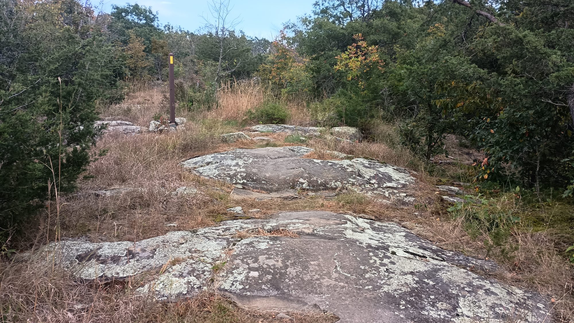
The trail continues in 1 and 2 mi sections of Trail that pops out into neighborhoods to get to another section. I would not call these road walks but there are definitely houses and people and cars. There are also two more schools to walk by. I am getting hungry so I stop and eat my can of spaghetti. I really do look like a hobo at this point.
There is one road walk through a neighborhood that it is about a quarter of a mile. I know it wants to take me over another esker, but it is not blazed well and it is hard to figure out how to actually start hiking up the hill. I finally figure it out and begin the climb. This one is steep and slows me down quite a bit. This one does end up having a little better view at the top, but still nothing amazing yet.
The trail down the esker is just as steep and delivers me to a road again so that I can cross underneath the highway to get to the state park. This one is about a half a mile on a sidewalk and a side road and now I am finally at the entrance to the park. It is just a little over a mile until the end.
But by now my right foot is starting to hurt. The foot where I stubbed my toe several hours ago is starting to throb pretty good. The trail is mostly downhill here and graded well, but as I approach the river stepping down on the rock steps is a little painful.
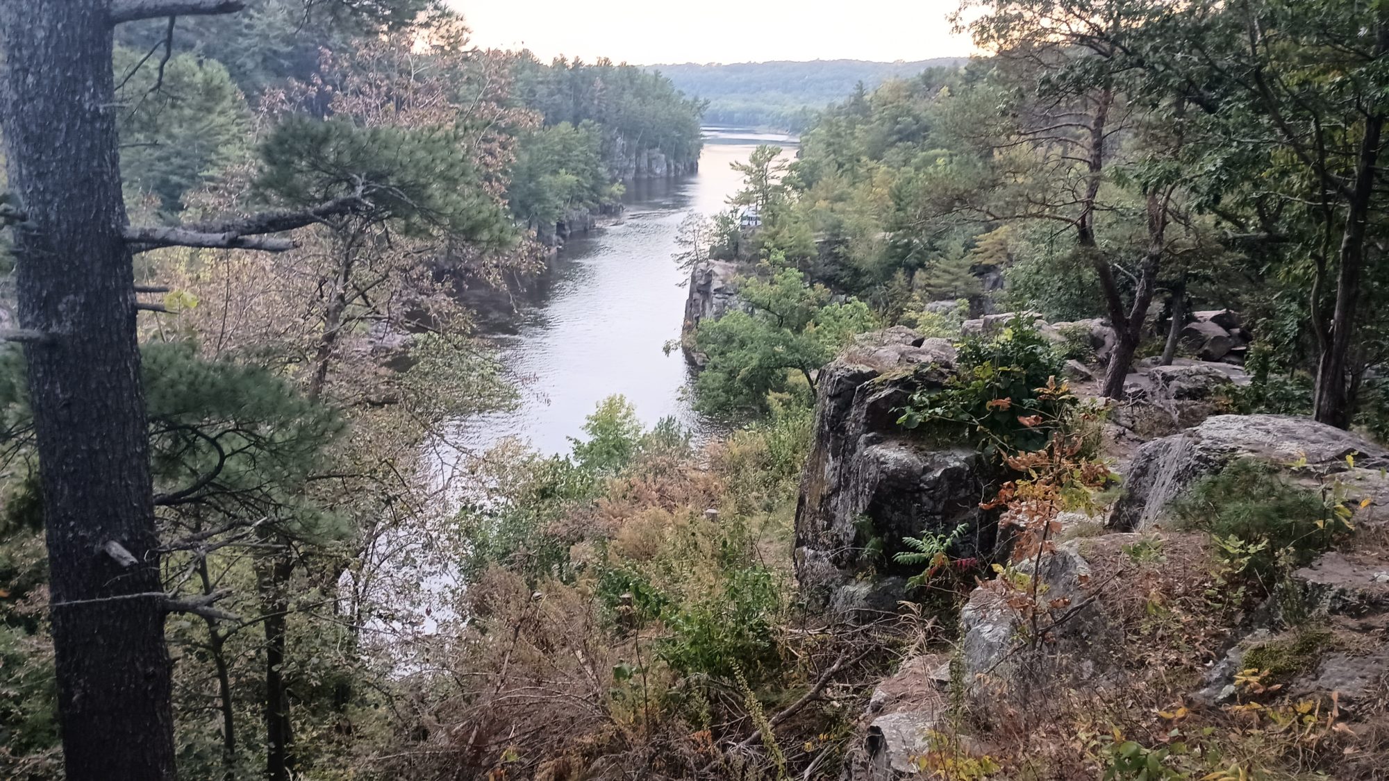
The trail comes out to a rocky cliff overlooking the river. The views from this point downriver are quite good and I can see the river boat that gives tours of the river docked not too far away. It’s a bit harder to see upstream because there are more rocky outcroppings in the way. But I can see another placard further down so I am guessing that this is the Western terminus.
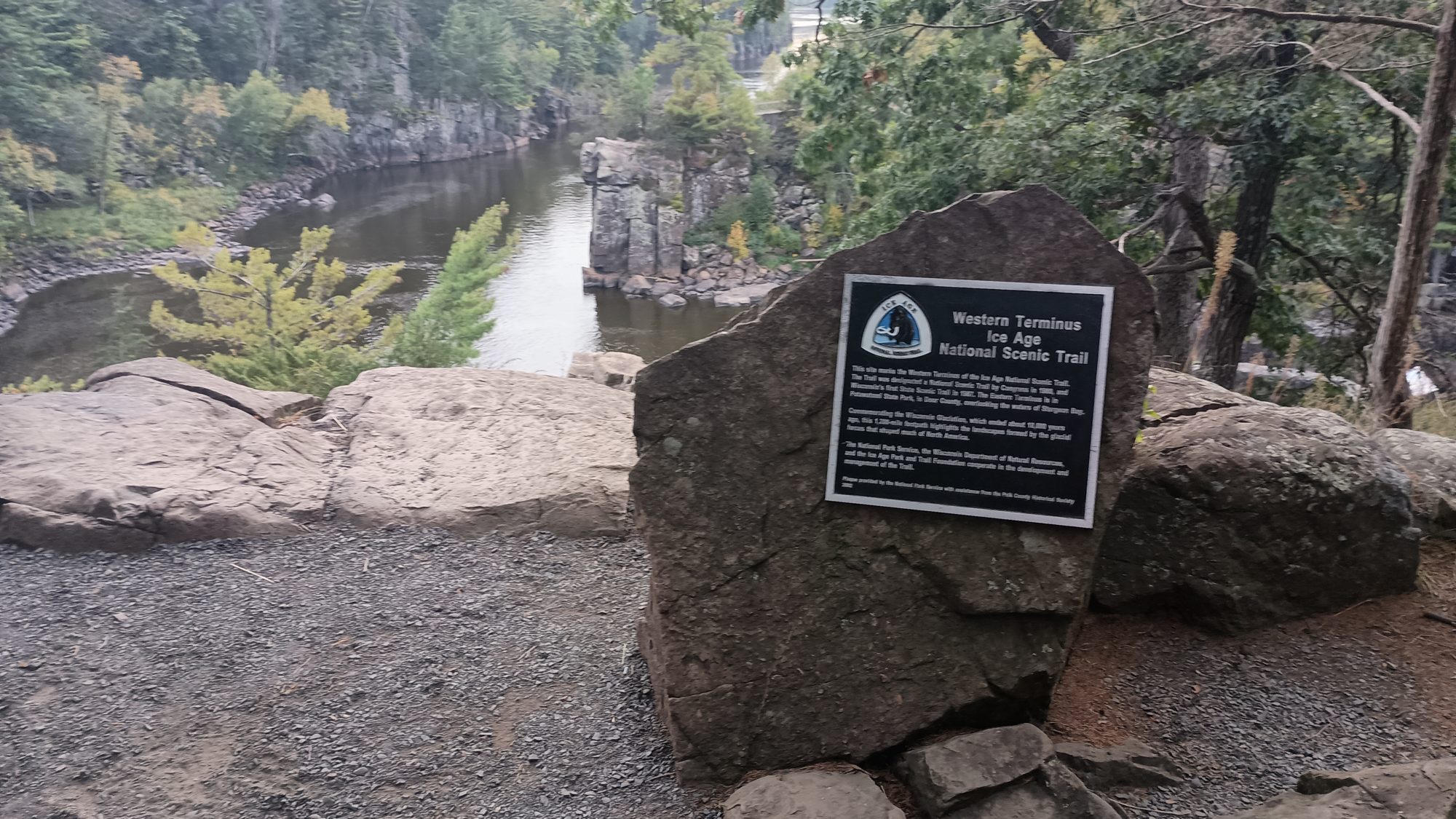
Within three or four minutes, I can finally see the end. There is no mistaking a plaque glue to the side of a rock. I approached The Rock and touch the IAT emblem at the top of it. After 50 days and 1150 miles plus bonus miles, the hike is finally complete.
It is kind of an eerie finish, though. I have not seen a single person in the park since I arrived and there is no one anywhere on the trails. It is 6:30 p.m., almost the same time I started this hike within view of Lake Michigan on the other side of Wisconsin.
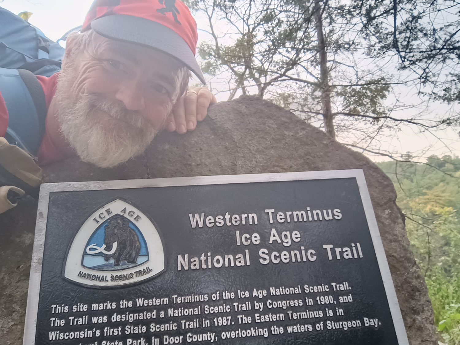
I take my pictures, I take some video, and it is time to leave. Less than 5 minutes of quiet celebration. But I am still not done yet. I still have to get to the hotel that I booked.
I hike back up to the parking lot for this last piece of Trail and try to hail an Uber. I try Lyft at the same time and it flat out tells me there is no service in this city. That’s not a good sign. Uber is giving me the typical run around – we’re locating your driver just one more minute.
After 5 minutes of resting at the picnic table letting Uber lie to me, it is evident that I am walking to the hotel. There was one at the entrance to the park that I did not book because I assumed they would not have guest laundry. Instead I booked the Holiday Inn Express on the other side of town on points.
A quick check in Google maps tells me it is going to be a 3 mile hike if I hike along the highway, or a half a mile further on some combination of back roads that they have found. It is now 7:00 and there is only 45 minutes of light left, so I immediately begin hiking out of the park.
I keep trying Uber, after it times out while lying to me for 15 minutes. I don’t expect it to find a driver but it’s worth trying. Google has me going back to where the other hotel was and then following the connector to the Gandy Dancer Trail. At least I know the first half of the walk will have no traffic.
At the point where the Google route has me crossing the highway, it is showing one route that is obviously on the road and then another route that looks like some weird shortcut. As I approach the area I realized the shortcut is a continuation of this approach trail and is a bike tunnel that goes underneath the highway. That is definitely convenient.
The sun has already set and twilight is officially here. I can still see very well and it’s not quite dark enough to use my flashlight because there’s no cars anyway. I can hear the traffic on the highway going very fast and very heavy. I could probably save 10 minutes of walking down the highway but there’s a good chance I would get squashed like a bug.
Across the highway, the road I turned down is for an industrial complex. The bad news is that the sign at the beginning of the road says dead end. When I am about halfway down this road I can see that it indeed ends and there is some sign and a path. I fear that this may be a private drive and I’m looking at no trespassing signs. I definitely do not want to turn around and hike the highway at this point.
But as I approached the signs I am elated to find out it is one of the typical foot traffic only signs that I normally see on the rail trails. This is a piece of the Gandy Dancer Trail. Hallelujah. But after only a tenth of a mile or two the trail ends again. I can see 3 ft paths going off in different directions. I picked the middle one and just keep walking. It ends up taking me up a flight of stairs so I know this is not part of the bike trail, but it is taking me in the right direction.
At the top of the stairs the half opens up into another road into another industrial complex. I should be home free without traffic until I need to turn on the road that takes me back to the highway where the hotel is. By now it is past dark and not many street lights. So out comes the flashlight in my hand.
Another 10 minutes and I am at the hotel. It is about 8:30 at night and my foot is absolutely killing me. My fear is that I have broken my big toe. My hope is that I have just jammed it. Off come the shoes and socks and it is not swollen or discolored. Pushing and prodding all over it also seems to indicate it is not broken. But bending it is very painful. It is probably just jammed and will just be an annoyance for the next week or two. I buy a bottle of ibuprofen at the front desk and we’ll use that to try and keep the swelling down.
The hotel is nice and new and clean and has a wonderful shower and a big clean bed. But it does not have guest laundry. It also does not have a restaurant next door. The nearest restaurant is about 4/10 of a mile up the road. After a shower and clean clothes I head up to the restaurant.
And to my delight there is a laundromat literally right next door to the restaurant. It looks like I will be doing laundry here tomorrow during lunch. Either that or just wait until the next hotel in Minneapolis. Actually option B sounds better at this point because I am exhausted.
Emotion of the day, Adrenaline Power
From the moment I woke up, I have been full of energy all day. I think I had all of my gear packed in record time this morning. And the breakfast including the treats I packed out were amazing.
The rail trail hike went very quickly, although the lunch stop was a bit too long. I was sitting in my bar stool fidgeting the whole time knowing that the clock was ticking.
All afternoon I was just anxious to get the next section over with. Even after stubbing my toe and falling, I was still proceeding ahead at full speed. And the last mile or two when my foot started hurting quite a bit it still didn’t slow me down. I had a date with a rock overlooking a river and nothing was going to keep me from it.
The isolation at the terminus was a little weird though. Most National Scenic trails have a crowd of people at each terminus. This one was a ghost town. The Eastern terminus was the same way.
But I kissed the plaque, took my pictures, recorded my video, and left as quickly as I arrived. Possibly even more quickly because I was now racing darkness.
My energy and my pace did not let up until I sat down on the sofa in my hotel room. So today wasn’t a 25 mile day after all, it was really a 28 mile day to the hotel.
But all of that is over now. There is no more hiking. There is no more sleeping in a tent. There is no more swatting bugs. There is no more basting in my own filth.
Hopefully there is also no more eating canned spaghetti straight out of the can without heating it. Now begins the return to civilization.
Recent Comments