
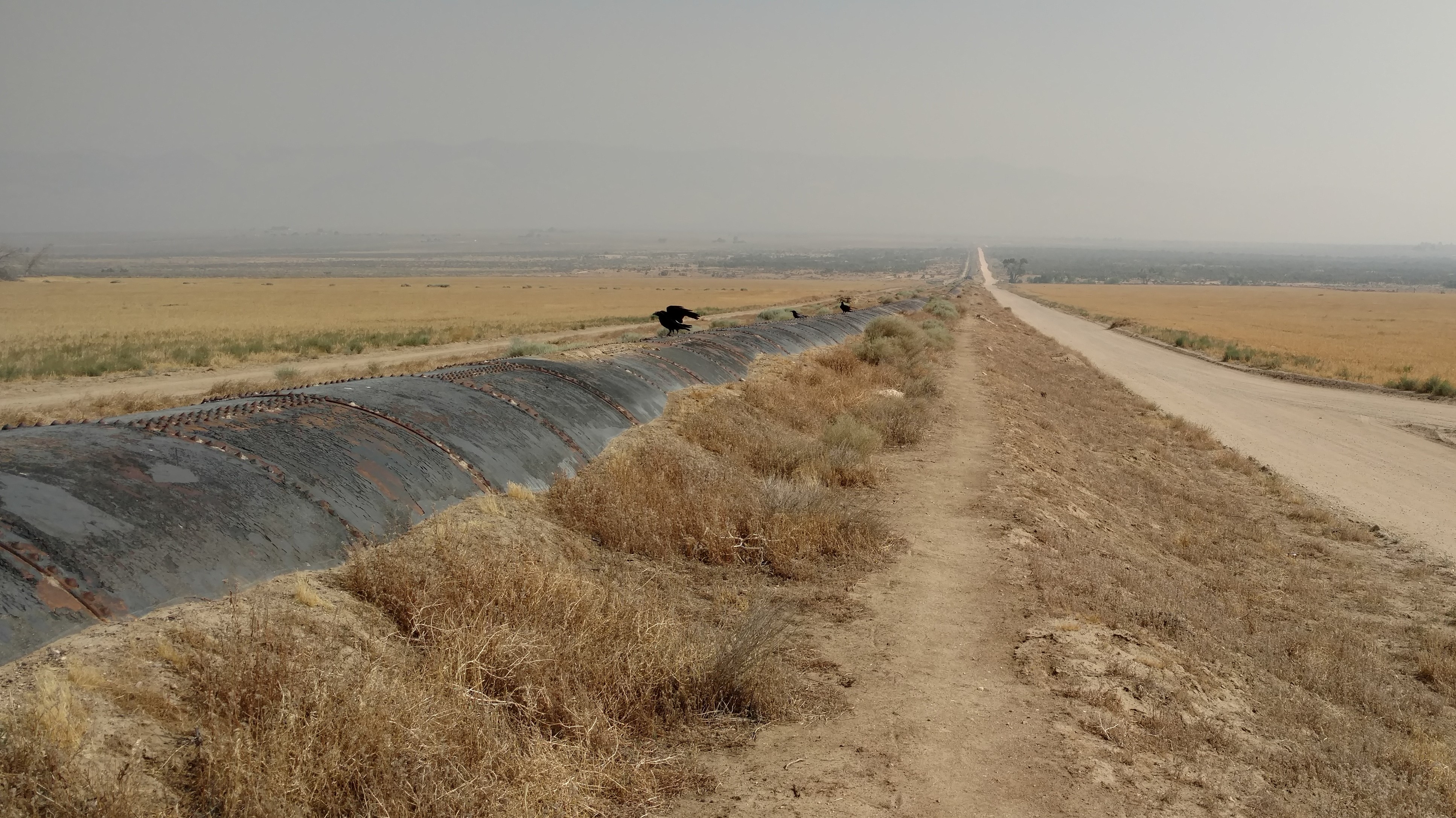
Half of the time I hiked on top of the pipe of the LA aqueduct, and half the time on the path next to it.
I felt like a veteran of the desert by the time I left Wrightwood. I had covered nearly 400 miles already and was used to the terrain, the heat, and was adjusting to my surroundings. I had gotten pretty good at finding campsites by now, too. I would use Guthook’s app to sneak a peek at the picture of a proposed camping site to try to guess if it was a small site or a large site. Most of the time, once I arrived at the intended camping site, it would be good enough to camp there. I was in the groove.
Wrightwood is still not far from Los Angeles, and ascending Mt Baden Powell, there were no shortage of day hikers climbing the 40 switchbacks to the top. There is supposedly a good view of Los Angeles from the summit, but it was an undercast day and I could only see cloud tops.
The two jewels of this section are the Vasquez Rocks in Agua Dulce and the long hot walk along the Los Angeles aqueduct. I’ve never seen such a long and straight pipe. And you don’t walk along it, you walk ON it. This is also where you see the birthplace of wind power in the United States. Nearly every model of wind turbine is visible from the trail and an educational kiosk just before you get to Tehachapi explains how the area was developed.
Tehachapi is the last real town before hitting Kennedy Meadows, which marks the beginning of the Sierra mountains, and the beginning of the most remote (but crowded) section of the PCT. If I was to make any gear adjustments, I had to figure it out in the next 200 miles.
Blog: PCT mm 387.8 – The big climb out of town
Blog: PCT mm 418.5 – Roadwalk and poodle dog
Blog: PCT mm 446.7 – More road walks
Blog: PCT mm 465.9 – Beam me up, Scotty
Blog: PCT mm 517.6 – Roads roads roads
Blog: PCT mm 540.3 – The LA aqueduct
Blog: PCT mm 558.2 – Wind power
Blog: PCT mm 566.4 – Wind power is clean energy?
Recent Comments