Another milestone achieved. Today I moved on to the last map of the trip. The end is nearing.
Peaceful Morning
It was rather warm last night. I spent some time inside the sleeping bag and some time outside the sleeping bag. It was hard to get comfortable temperature wise.
But one thing that was comfortable was the air mattress. I started out with it not inflated quite enough so I did have to add a little air. But once I got it set it stayed perfect all night. I’m not sure if I slept anymore but I sure felt better.
Early in the evening I could hear coyotes off in the distance in the direction of the campsite I was supposed to be at. The comments in the app reflect that not only coyotes live there but panthers as well. I think I’m glad I camped where I did.
I spent the morning munching on granola and listening to music. I’m not sure why, but I was in no rush to get moving. But I did make it out of camp by 6:20 which is really only 20 minutes later than I would like to leave. Sometimes it’s nice to just be able to pack up and have natural light instead of using the head lamp.
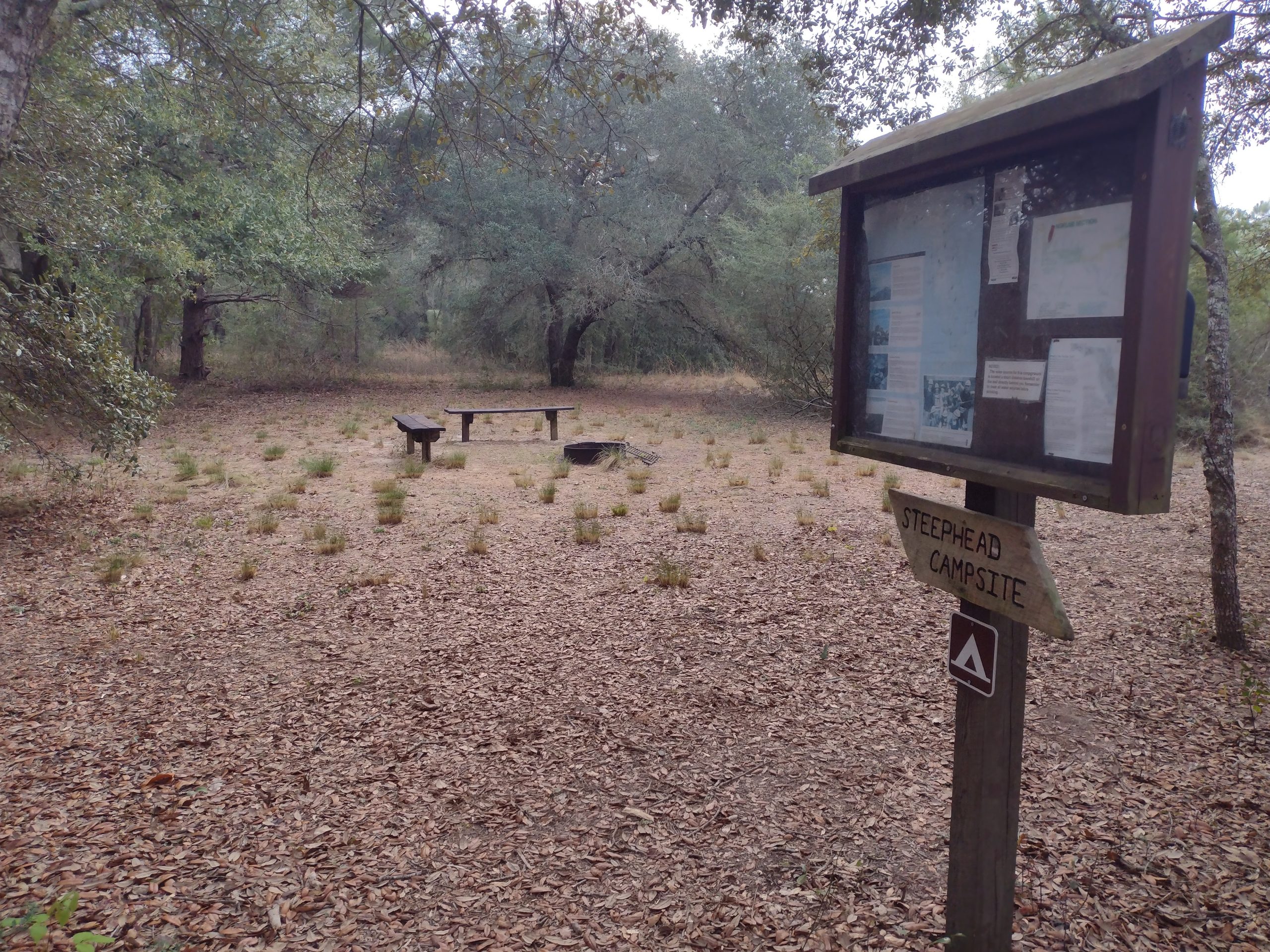
I was eager to get to the actual campsite to see what I missed out on. And when I got there it ended up being a really nice campsite. It had lots of big oak trees to provide cover from the morning dew. And despite where I camped in pine trees I didn’t get too wet last night. I would have been hiking in the dark for 20 or 30 minutes if I had pushed on last night.
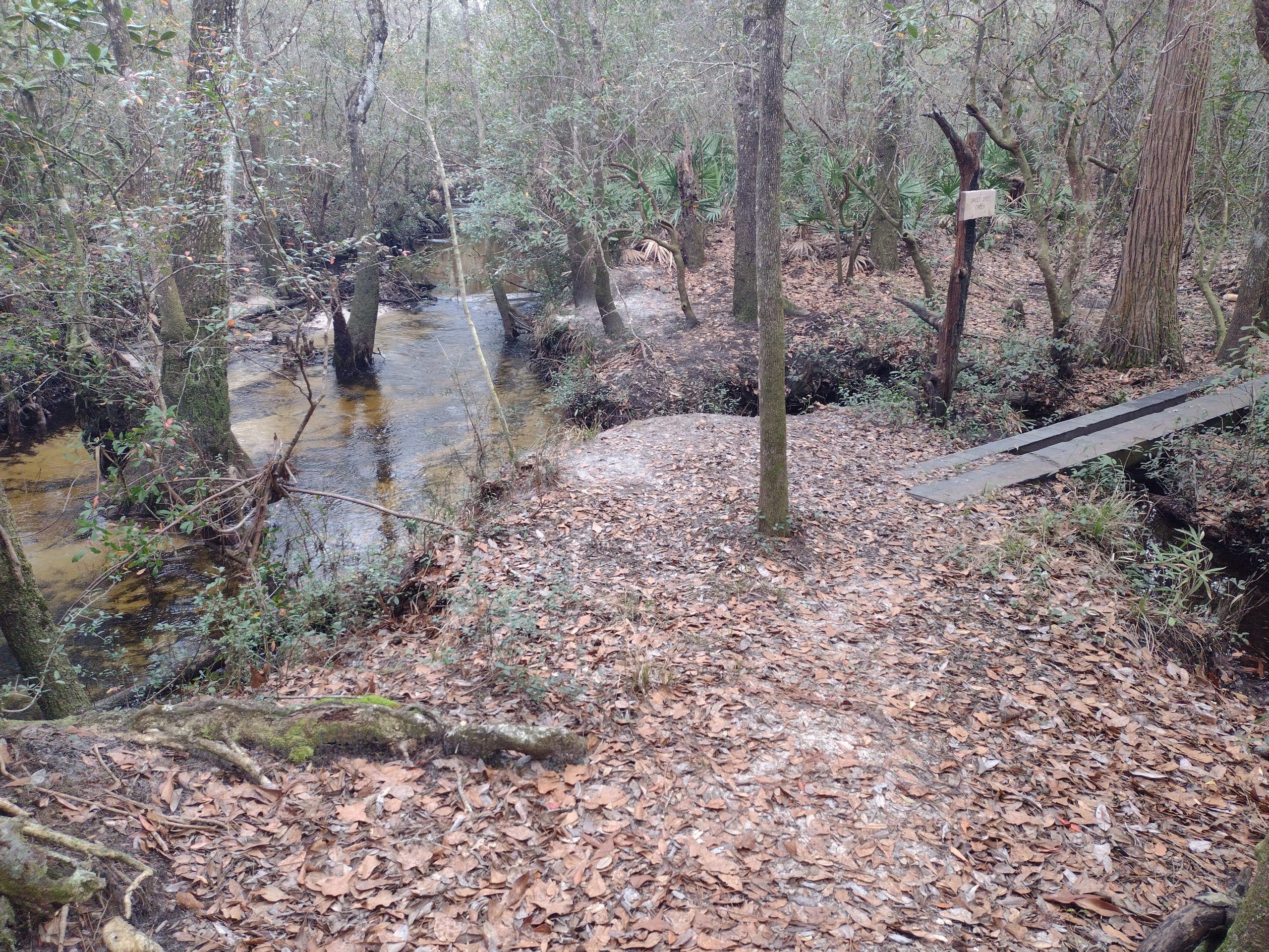
The terrain this morning was similar to yesterday. There were ravines and creeks every few miles and pine trees in between. There were a few boardwalks around some of the creek areas that were muddy. Dry feet again.
Is Eglin Open or Closed
Spoiler alert – closed.
Just before crossing the highway that indicates you are entering Eglin Air Force Base, I came across a southbound hiker. His first comment was I’m carrying five days of food but I haven’t eaten any of it in five days. He was commenting on all the stores and restaurants along this end of the trail.
I asked him about the trail closure in Eglin. He indicated that they had military police posted at the trailhead where he needed to exit around the closed section. He had to road walk into DeFuniak Springs, and came from there this morning.
I guess there is my answer. Instead of going on to the base until the closure, I might as well just begin the road walk and get into town early. I tried downloading an updated version of the daily closure map but, it keeps downloading the same one. I think I need to assume that the forecasted closure for Thursday and Friday will continue and it will not open up until Saturday. I will be hiking this area on Friday.
As I begin doing the math in my head, I am figuring that by the time I finish the road walk into town and then the road walk back out to the other trailhead it will basically be the end of the day. There is a campsite a few miles later so it would be a long day indeed.
Since I am hot and sweaty and already stinking pretty badly I decided I might as well stay in town instead of finishing the road walk back out to the trail. It is also supposed to rain overnight.
The official alternate has you hiking through town and then west out to the trailhead. There are a ton of hotels in town, so I need to figure out which one I want to stay at.
I use Google maps to check the distance from town to the trailhead. Google maps has picked a route that is very different from the official road walk. It looks like it might be a little shorter. But more importantly, it doesn’t go all the way through town.
There is one hotel on the road it uses to leave town and that is a Holiday Inn Express. Then this is where I will stay.
Air Force Base Trailhead
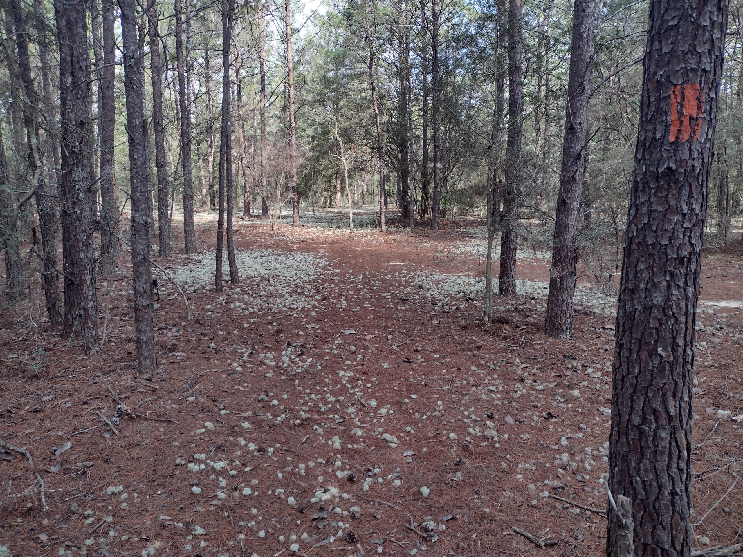
Where the trail crosses the road that leads into town, It actually enters woods on the other side for a few miles. The trail there is quite nice and only about 100 yards away from the road. You can still hear it but you can’t see it. But then the trail pops out to the road for the last mile or two to the official trailhead.
Since my air mattress is working perfectly I don’t want to be carrying this gigantic pad strapped to the top of my pack. It is windy today and the extra pad just blows me around.
I am hoping that at one of these parking areas it will be a developed parking area with usage and I can leave the extra pad here hoping that someone will throw it away for me.
The first indicated parking area when I crossed the highway was not really a parking area so I could not leave it there. When I get to the actual Air Force Base parking area it is official with a kiosk, but not really space to park. It probably does not receive much car traffic but I can’t carry it on the road walk all the way into town 6 miles away.
I find a tree right near the gate where I can wedge the rolled up pad securely so it won’t blow around. I hope someone else either needs it and uses it or has a car and can throw it away.
I am not fond of abandoning gear on trail. But at least I took it out of the back country and brought it to somewhere with road access for easier disposal.
More Road Walking
Us 331 is a big highway. It is four lanes and has tons of traffic. Trying to walk on the paved shoulder would prove to be super annoying today.
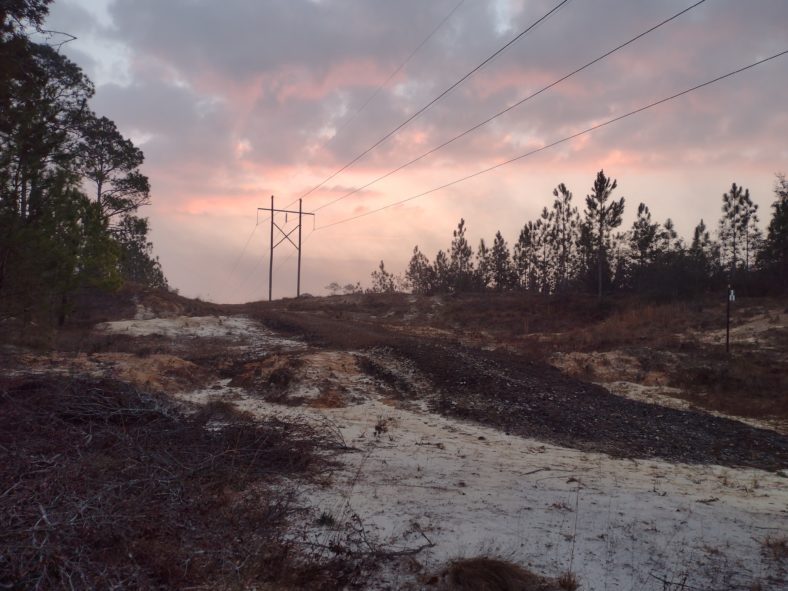
Luckily, there is a dirt road under the right of way of the power lines. I follow the dirt road for about a mile before it disappears.
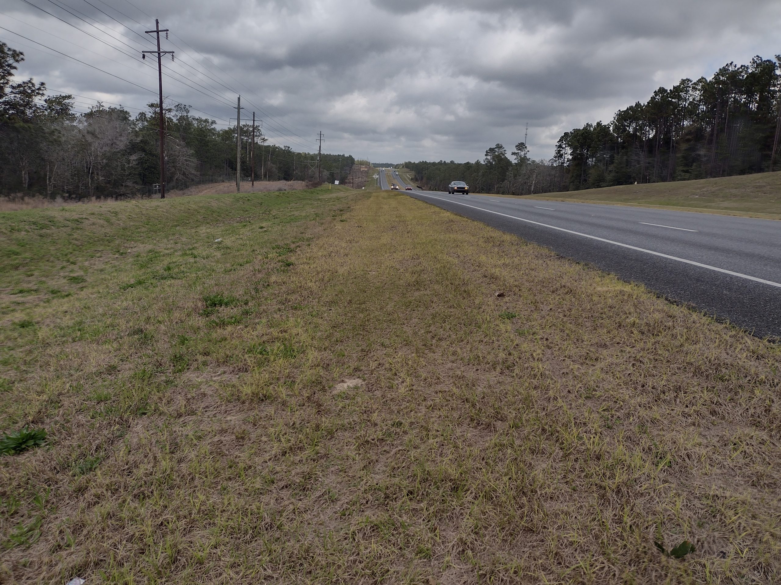
But now there is a small levee that is still very far from the road that makes easy walking. The entire road walk is finding either dirt roads or this levee to walk all the way into town.
As far as six mile Road walks along busy highways goes this has been the best. I was never any closer than 30 yards to the highway. And most of the time it was more like 40 or 50 yards. Other than the noise it was actually not a bad hike.
But the best part about road walking is the services. And in this case as I approached town the restaurants begin to pop up. They are building a brand new Chick-fil-A and there is a Zaxby’s and a Kentucky fried Chicken. By this time next year there will be three chicken options before even getting to interstate 10.
But I have my heart set on a burger. That leaves the options of McDonald’s and Whataburger. Whataburger it is. They have tables outside so that’s where I’ll sit because I smell like a sewer.
Hotel Bound
After finishing my late lunch, I have only a half of a mile to the Holiday Inn Express. It is down a side road about a quarter of a mile. This is also the road I will be leaving town from.
This is the first time I’ve been to a Holiday Inn in probably 20 years. They are always more expensive than other hotels. And when I get there I see it is quite nice. It is on par with the Marriott properties I am used to.
The other reason for picking this hotel is they have guest laundry. And I need to do laundry quite badly. So after I shower that is the first order of business.
After laundry is done it’s time to start looking over the last map and plan out the last days of the trip. Other than the Air Force Base and one more management area, the rest of the trip is all on roads or bicycle paths. So that means there will be definite places I will need to be stopping.
And I already know that three of those places will be Marriott properties. And given the days and the spacing, it looks like I will be spending a night in another hotel and one more night camping. Five of the last six nights of this trip will be in hotels. I think I like the sound of that.
The only catch with this plan is that two of the days will have to be very long. The day to the campsite will need to be a 28 mile day. And the following day after that will need to be 27 miles. The rest of the days are in the 20 to 22 mile range except for the last few which are shorter.
We’ll need to muster all my energy to make sure that I make that 28 mile day. The 27 mile day right after ends with 5 miles of road walking to a hotel, so that day is less critical.
The only thing left for today is dinner. I noticed that up towards town there is a Beef O Brady’s. I have been craving a Watterson sandwich this entire trip. The restaurant is almost a mile and a half away, so I would like to Uber there instead of walk.
But as usual in the smaller towns, there is no Uber service and there is no Lyft service. Or at least there is no service at dinner time. This is what I discovered back in Palatka. The driver’s work when they want to work and they don’t want to work during dinner time.
I decide to go ahead and walk it. What’s another three miles? The walk is not bad but there are no sidewalks for the first half. I am carrying my umbrella because it should start raining at some point. It has been overcast and cloudy all day long.
When I get to the restaurant, I am horrified to find out that they no longer serve the Watterson sandwich. All of this trouble for no reason. I could have ordered Domino’s and had it delivered.
Emotion of the Day
I think I need to pick relaxed for today.
Even though I woke up with plenty of time to head out at 6:00, I just casually did my morning routine. 20 minutes is not much of a delay but it means one less mile hiked in the day.
On the trail all morning, I felt relaxed as well. I was in no hurry to get to a specific destination. I stopped once to eat an early lunch when I saw the southbound hiker, and then at the Eglin trailhead to pick and book a hotel.
And once I knew I was going to be in a hotel and not camping I was definitely relaxed at that point.
Having good surface plenty far away from the highway for the 6 Mile Road walk was also relaxing because I did not have to stress about cars.
And I got to the hotel by 2:00, so I had plenty of time to plan out the rest of the hike.
Other than two really long days planned for the remaining hike, all of the other days will be relatively short. And the fact that I am only camping out one more night means that this end to the hike is going to be somewhat luxurious.
Maybe I can use luxurious for the emotion one day soon. I like the sound of that word.
Recent Comments