
I got up early this morning, started going through my routine, and I still couldn’t get going before 6:20. This seems to be some sort of magical time that I just can’t beat. Today I decided if I go 30 miles or 38 miles for the day. Leaving 20 minutes late means there’s one mile less that I can do today.
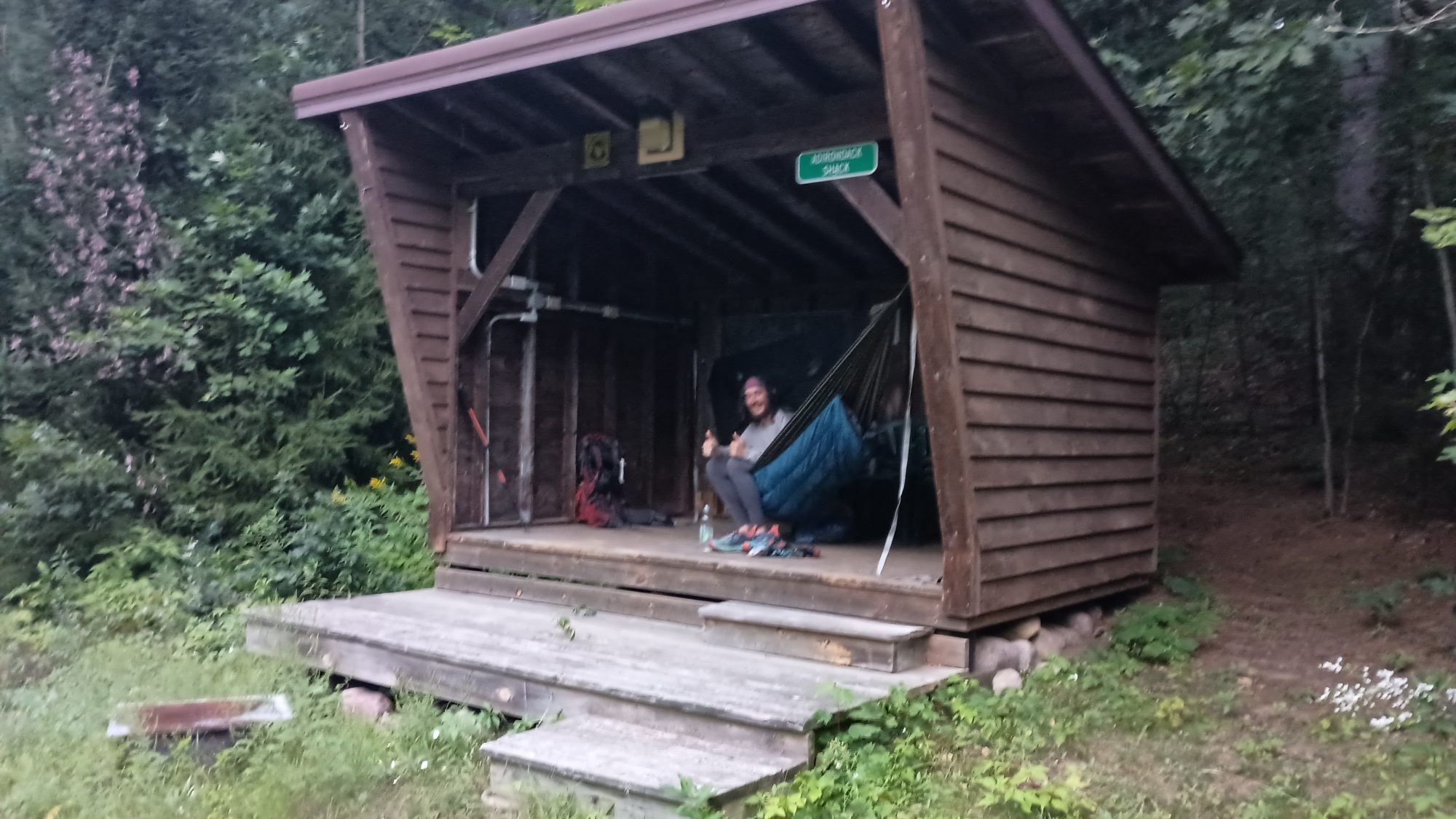
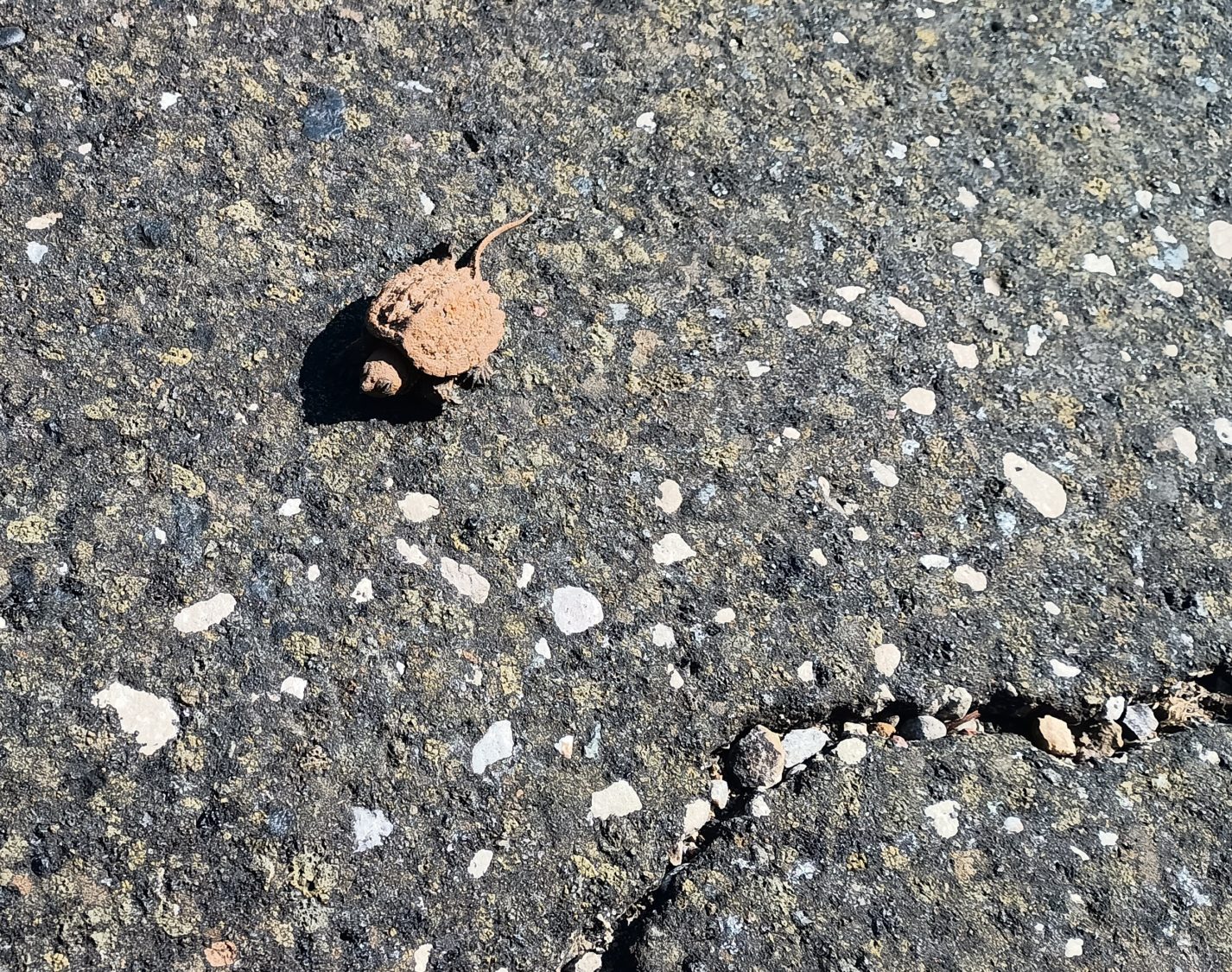
I have been lucky lately with finding trees to camp under. Packing the tent up in the morning means it is only dirty but not wet. The hardest part about packing up is picking slugs off the tent before I roll it.
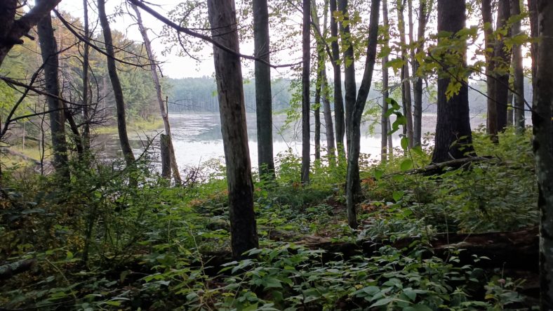
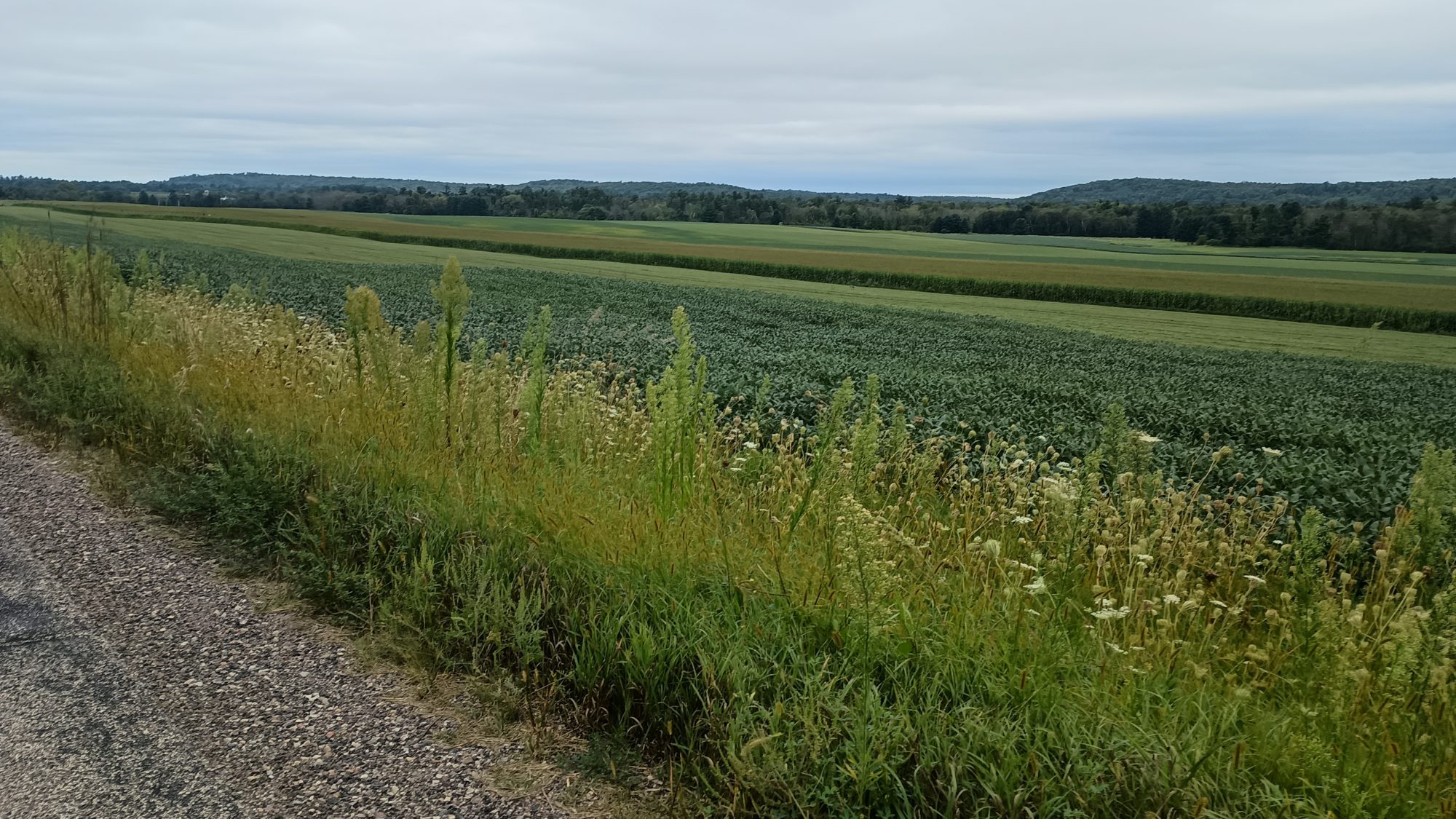
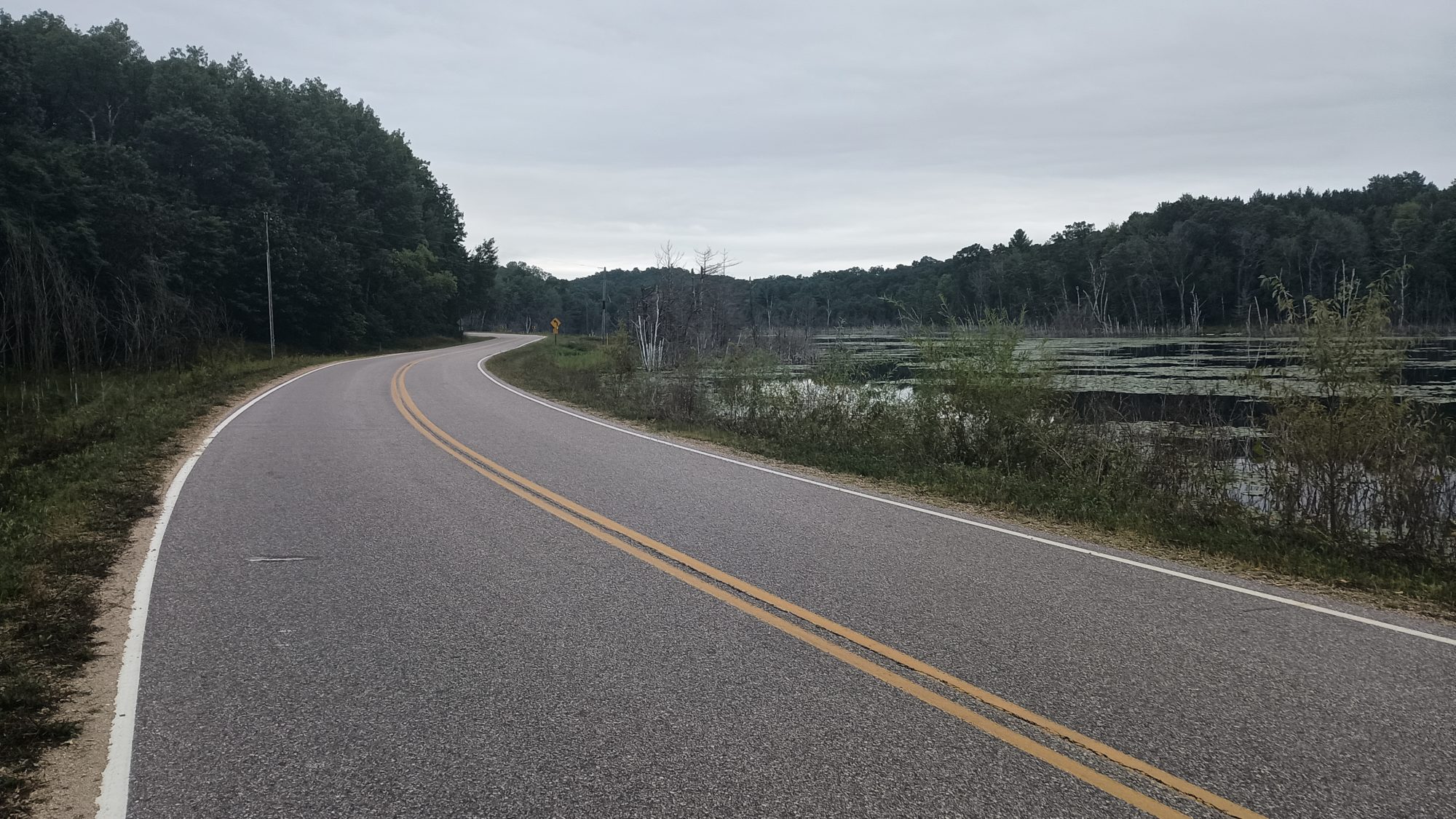
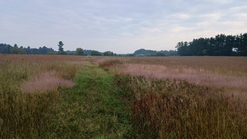
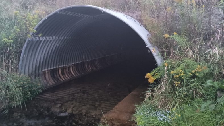
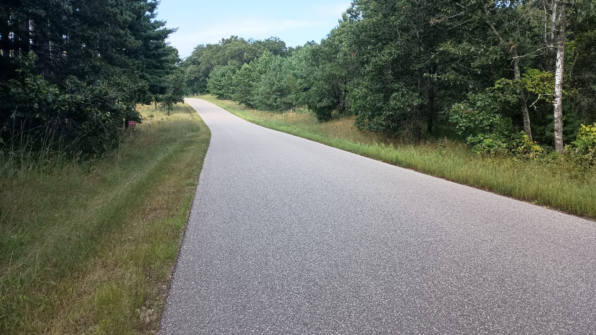
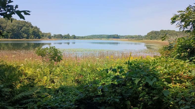
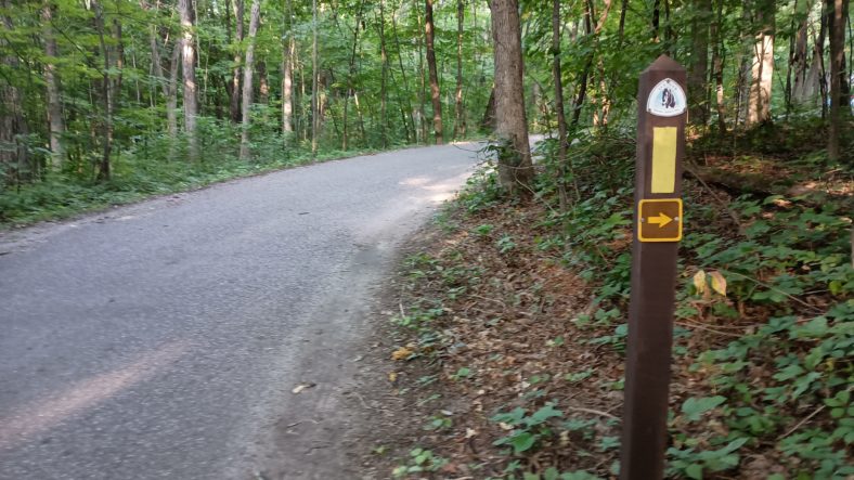
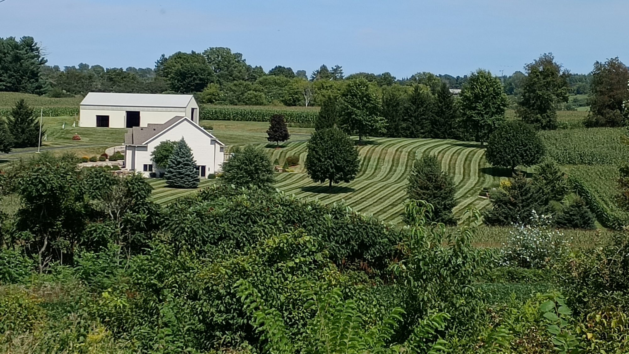
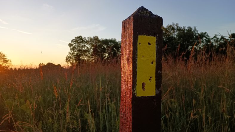
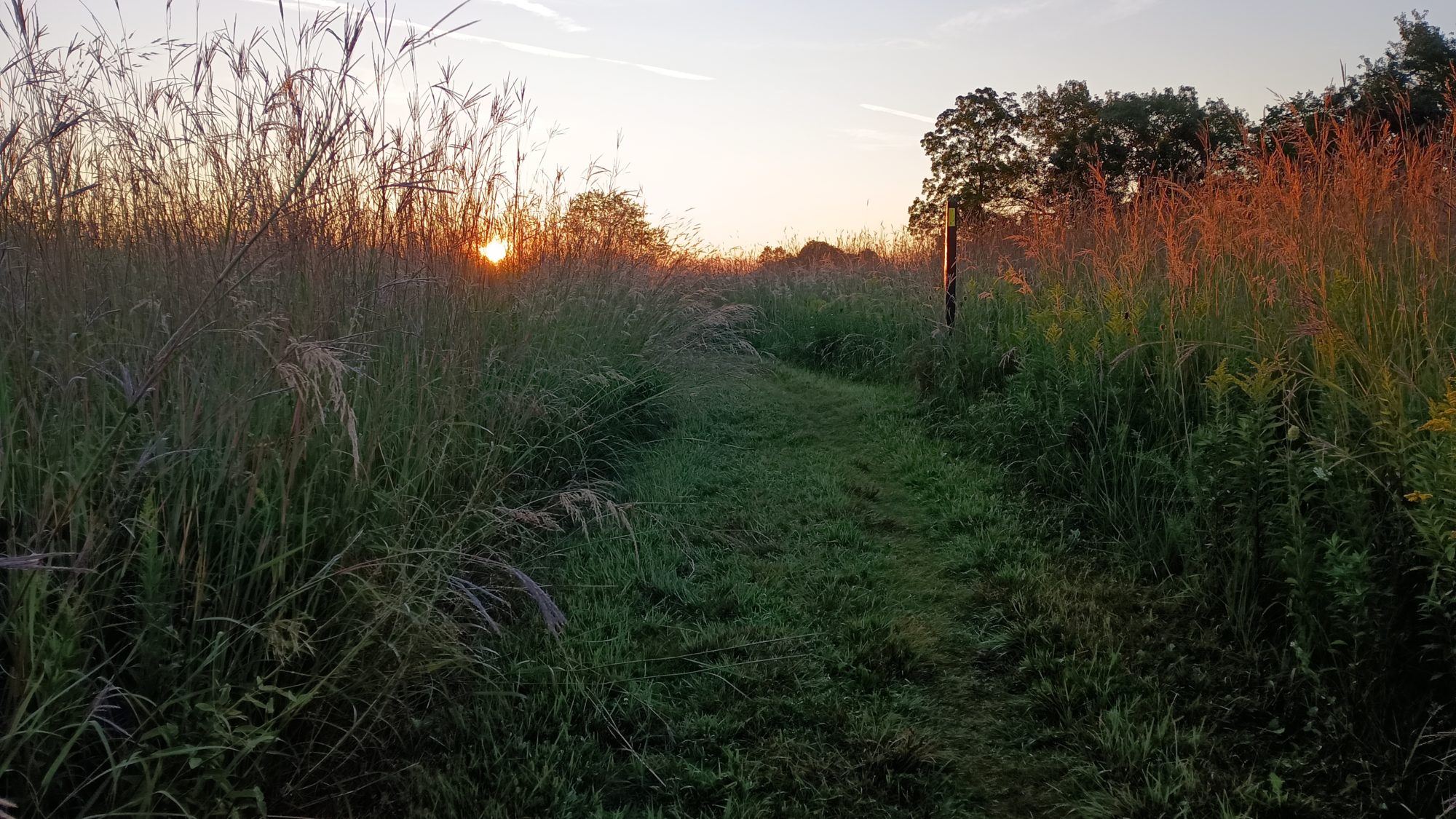
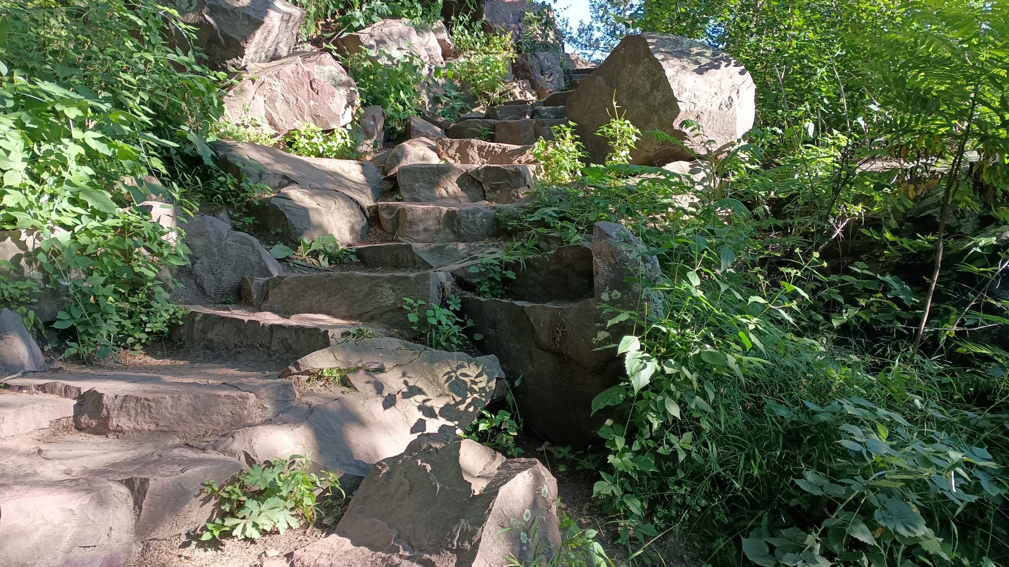
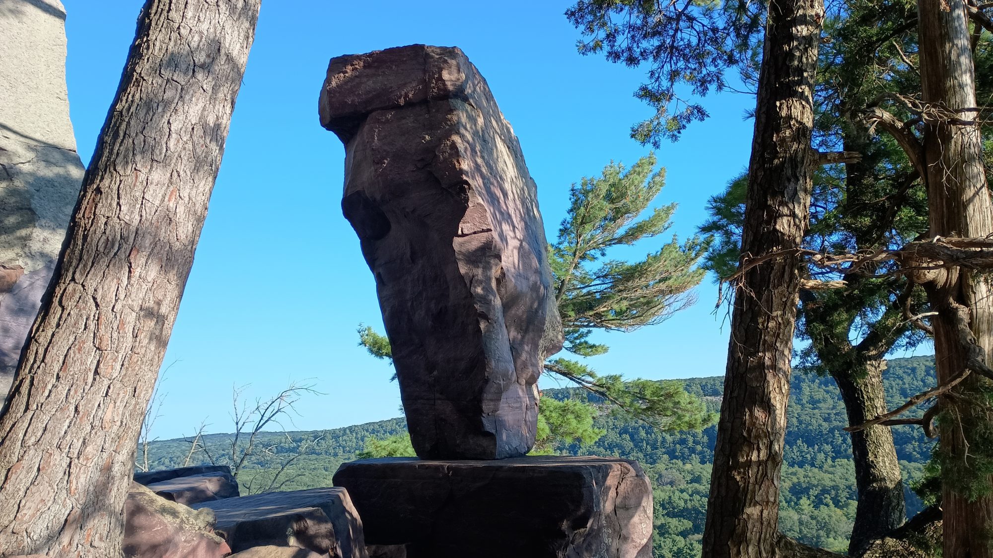
The trail is pretty hilly this morning. The coach at the snow park warned me that this was going to be an annoying little section. He was right but it’s only about a half a mile of annoying ups and downs. There are far more lakes than it looked like on the map. And they have to take us by every single one of them.
Within the first 2 hours of the morning all of the trail sections are done for the day. My first Target is the town of Rosholt. It is just over 10 miles from where I can’t and has a Dollar General and might have some open restaurants.
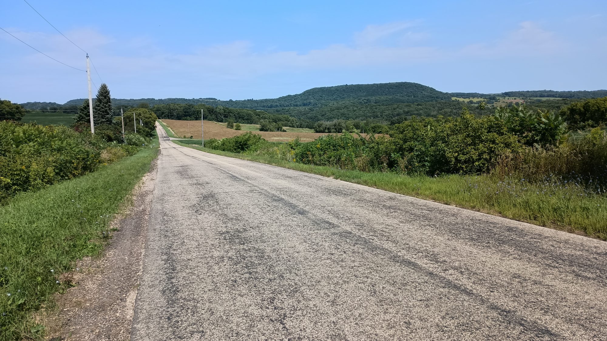
The roads are pretty desolate and it is not bad hiking. At the town of Alden I am turning West to go into Rosholt, instead of continuing North. After going to town I will turn north and rejoin the suggested route that is it is making its way west.
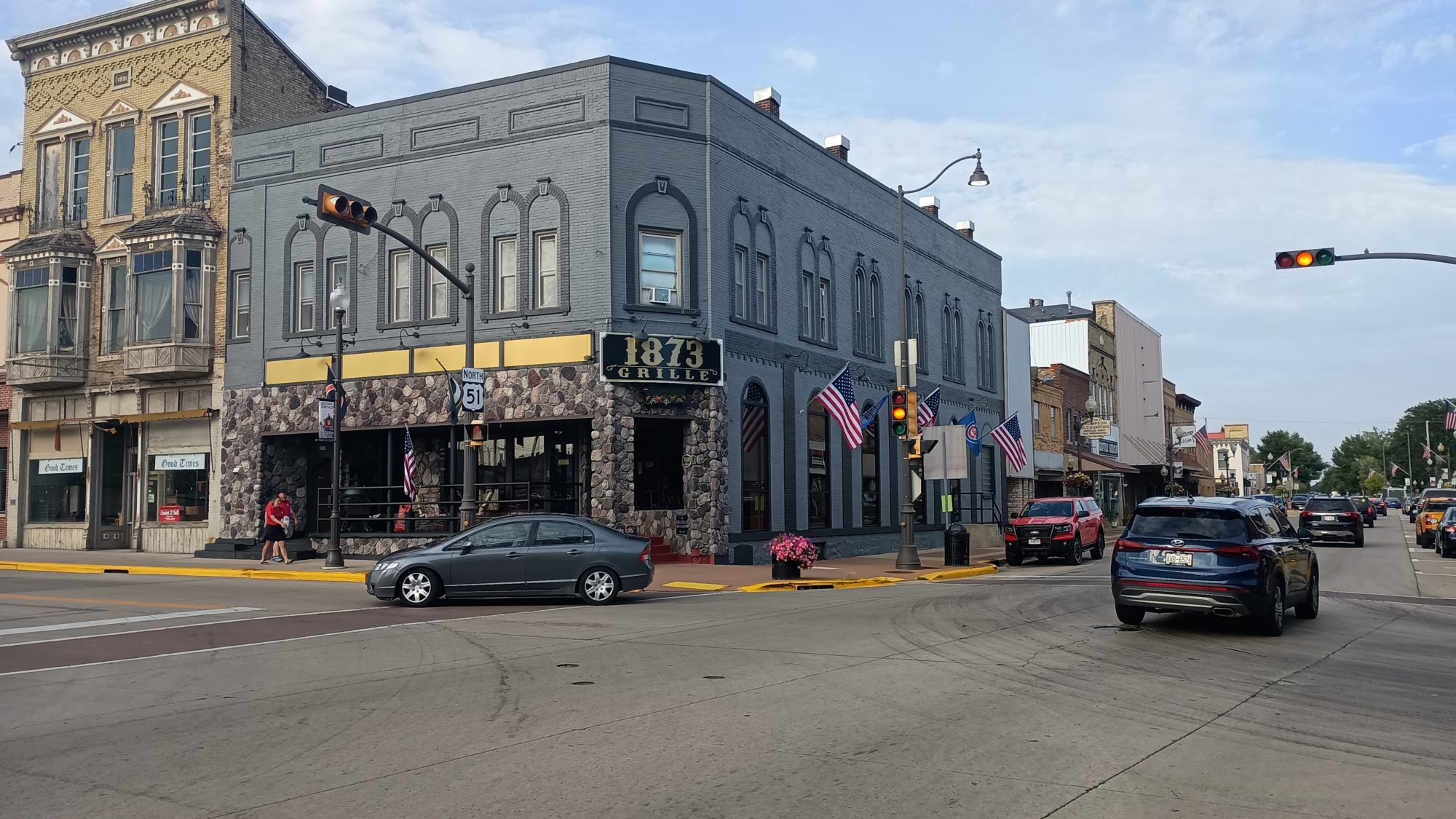
The road into town is busy but there is four foot of paved shoulder and 2 ft of gravel beyond that. Within a mile it changes to a sidewalk all the way through town. I like sidewalks.
I first come to a gas station and need to rest a little bit. I sit outside and take my shoes and socks off to let my feet dry from the morning dew. There is no point in going in the store. Anything I need to buy in there I can buy at the Dollar General for half the price.
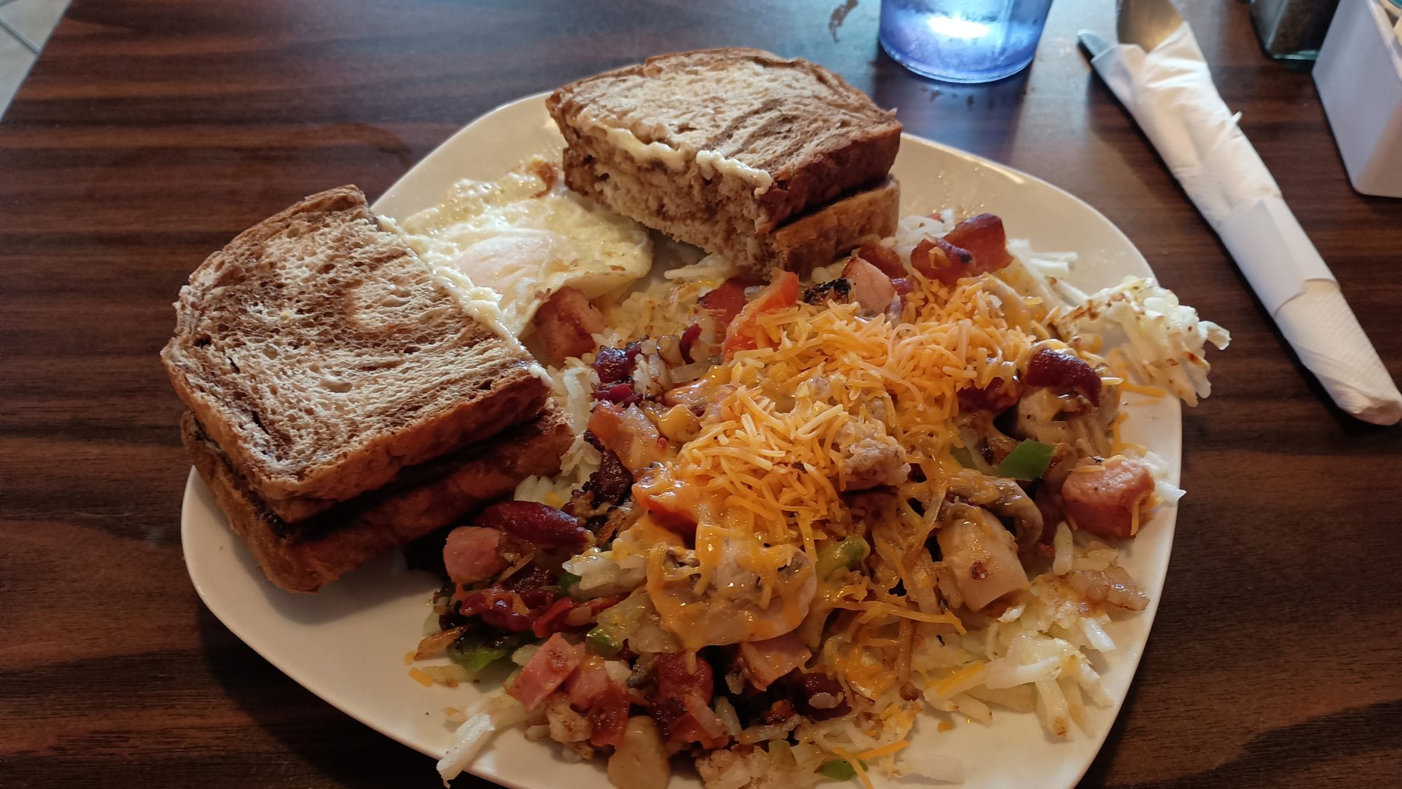
There is one restaurant in town called Granny’s place that is open. I head there and see that they are feeding the football team out behind the building. Inside the building there are only one or two tables occupied. I order a breakfast skillet and it hits the spot.
I keep walking through town to go to the Dollar General at the other end. I buy some granola bars, beef jerky, and some chips for the walk today. I also decide to try the frozen dinner thing again so I buy another Michelina’s. I also buy a pint of ice cream which gets consumed quickly.
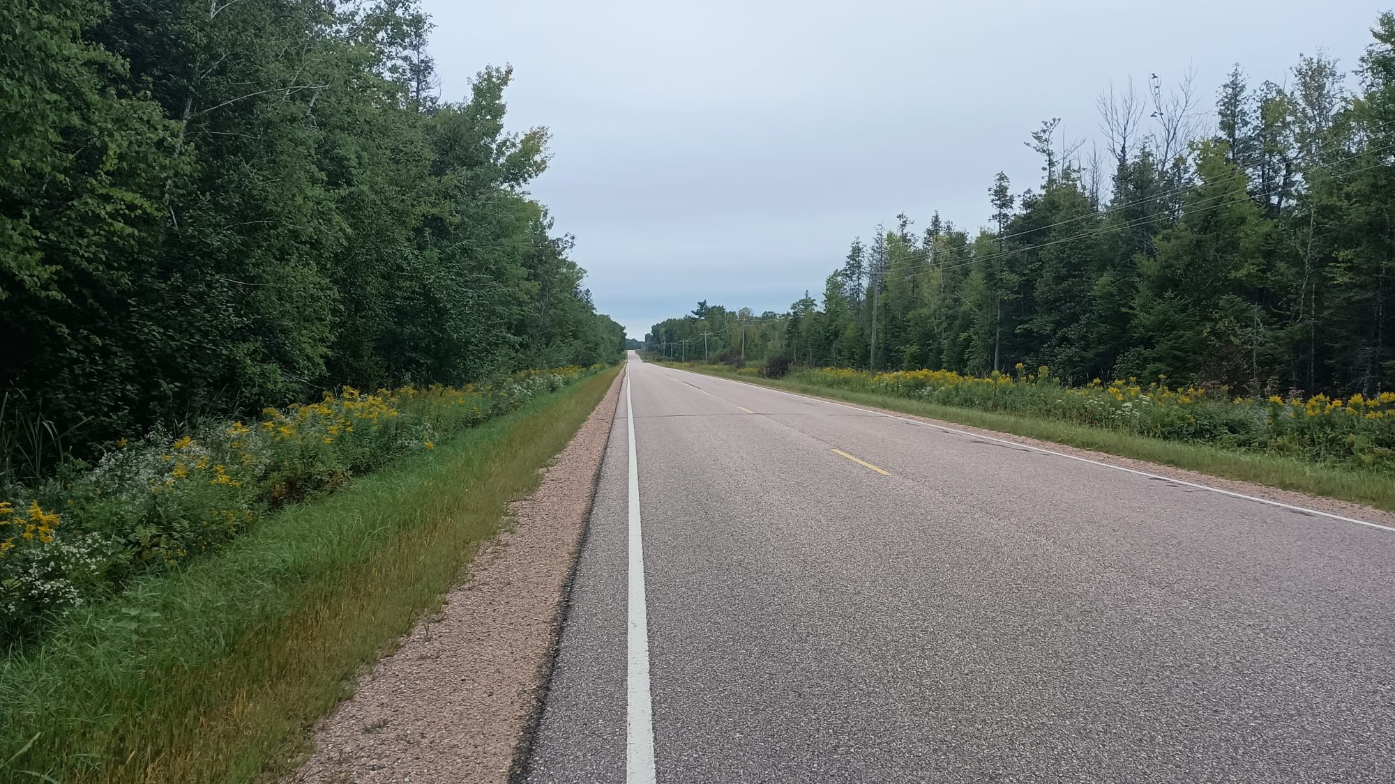
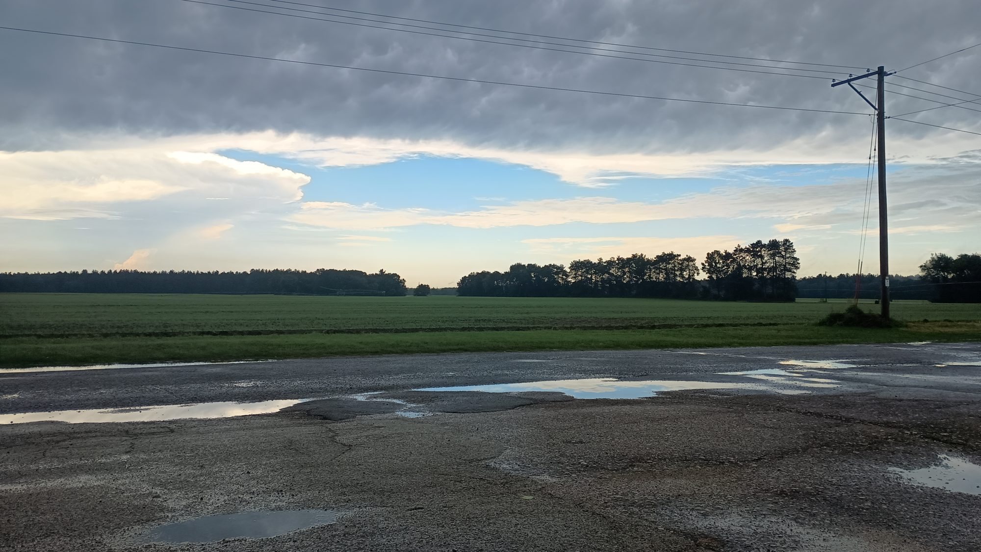
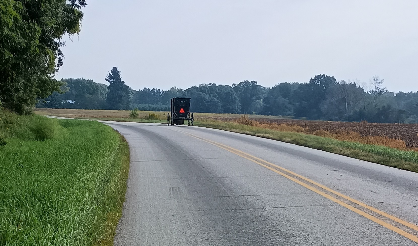
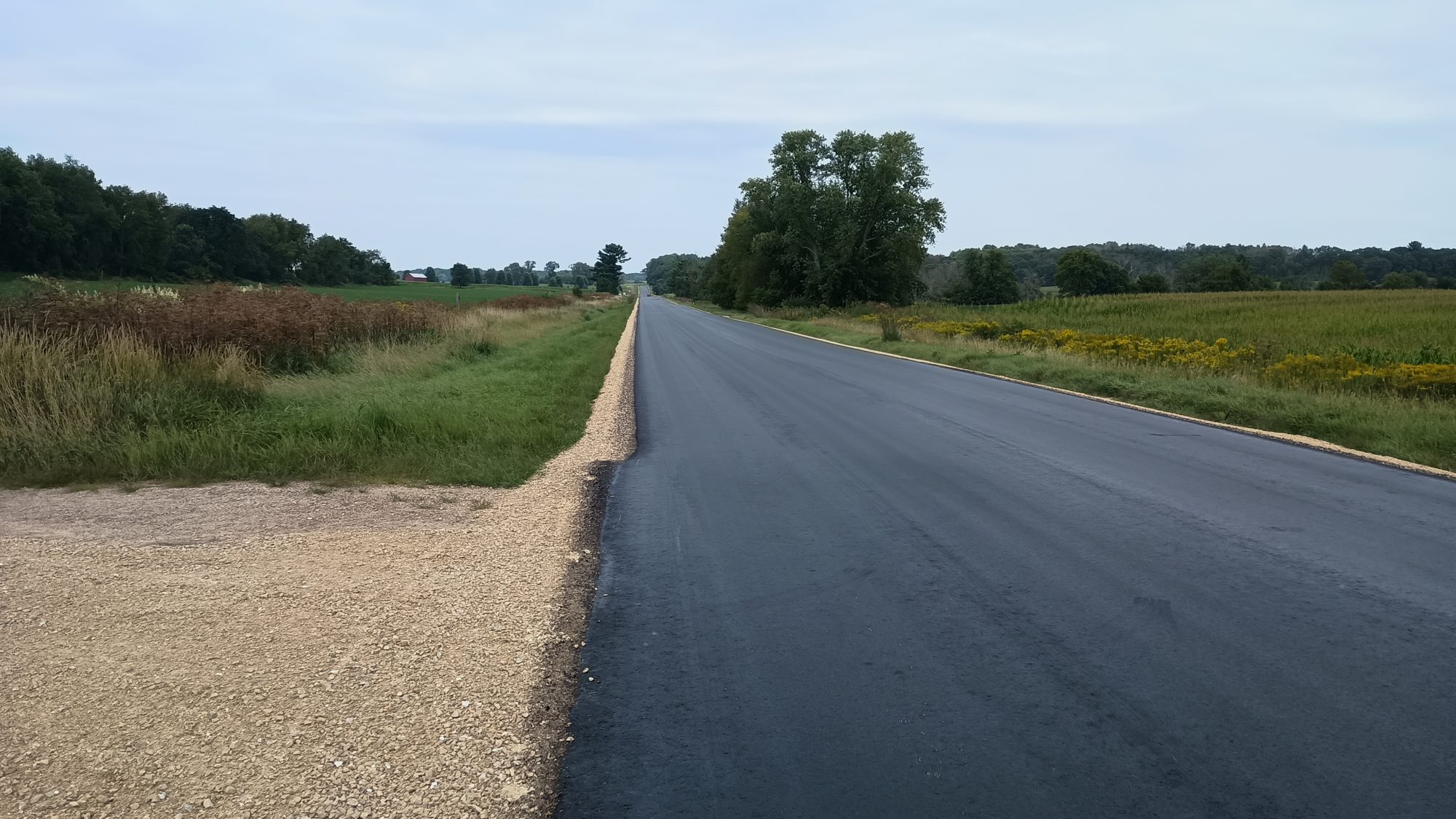
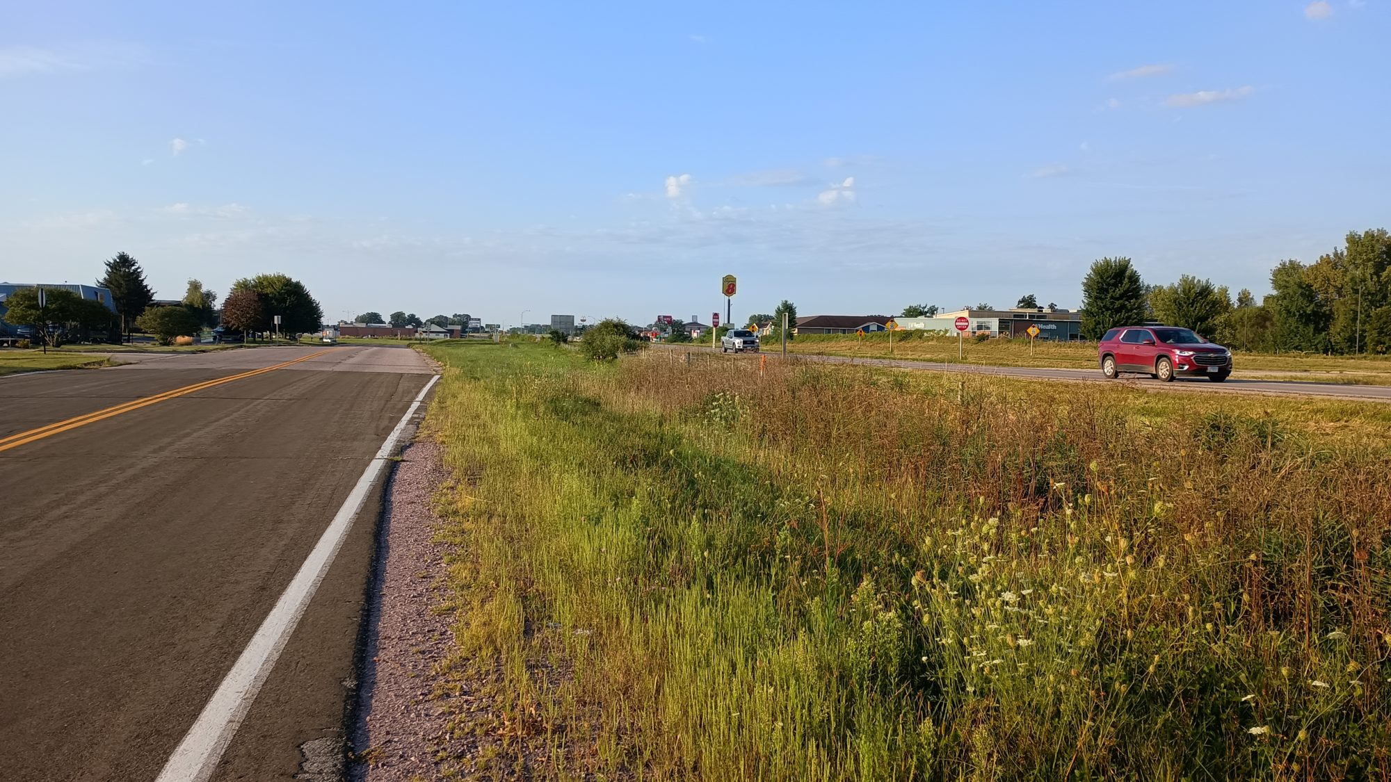
Now I am back to road walking. As soon as I turn north I will be on the same road that the official route merges into. The scary part is that I will be on the same road for 4 hours. For solid hours, no turns, no bins, no change.
This road ends up putting me to sleep. So the solution for that is coffee of course. The Dollar General did not have anything convenient so I make another Cafe Bustelo. I will need to count how many I have left to make sure I don’t run out before the end of the trail.
I have pretty good cell service so I go ahead and check to see if the hotel I want in Antigo is still booked on the day I need. And just my luck they now have an availability.
Now is decision time. If I still want to try and do 38 miles today I can get the room a day earlier for a cheaper rate. But looking at how far I have left to go I don’t think it is possible for me to do 38 miles before dark. Sticking to the original schedule would still make for a 30 mi day. And it looks like I only have time for about 34 miles today.
So the decision is made. Book The room for Saturday and stick to the original schedule. I remember that I have a free night certificate so I am able to use that and not burn up 40,000 points on one room. That makes me happy. Today is looking better.
Or at least today would look better if I didn’t have to still look at this same road for another hour. I really want to get off this road.
Looking at the weather forecast it has changed just a little bit. Instead of just raining all night, it looks like it’s going to rain around 5:00 to 6:00 p.m. and then midnight onward. I doubt I can make the campsite before the rain starts.
And that is exactly what happens. I am a mile and a half in the campsite which is 30 minutes of hiking when the rain begins. I don’t want everything to be soaking wet because my pack is part of my pillow system. Rain at the end of the day is never fun.
But I got lucky this time. As I am wrapping my rain jacket around the pack to keep it dry I noticed that there looks like a restaurant up ahead. I quickly hike there and see that it is indeed a restaurant that wasn’t listed on the map. They have an awning on the side of their building so it looks like a great place to wait out the rain. It’s not supposed to last more than an hour.
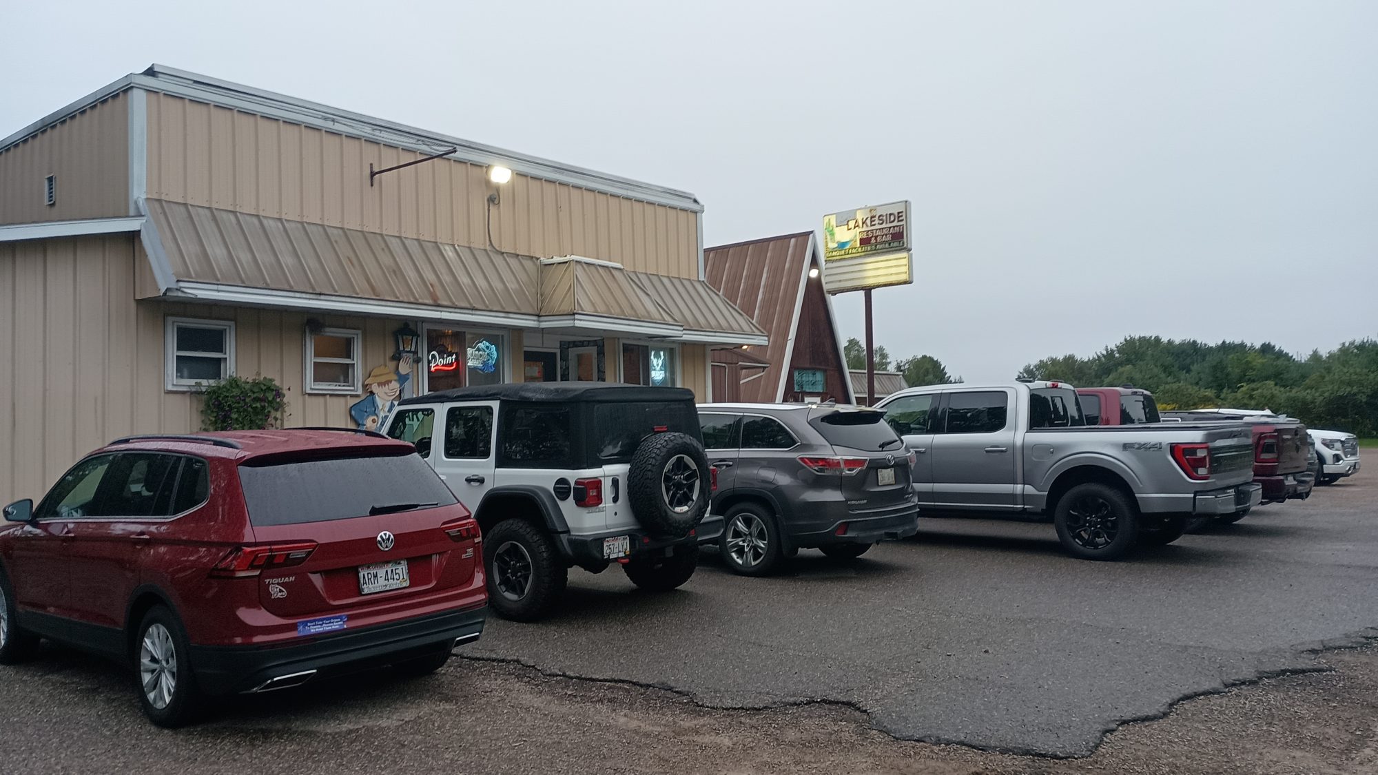
But since it is 6:00 anyway I decide to go ahead and eat dinner here. It was a good choice, because I am able to charge my phone and battery bank. And in addition the rain stops about 20 minutes before I leave. Perfect timing.
This last road has been a four mile chunk on a busy highway. It is full of traffic of people coming home from work. But I only have a little over a mile left from the restaurant. The bad part is the shoulders are now soaking wet. So I have to stop and carefully walk down the shoulder about every minute for another car. It is the most annoying mile of the day.
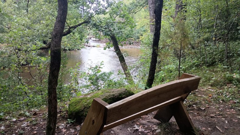
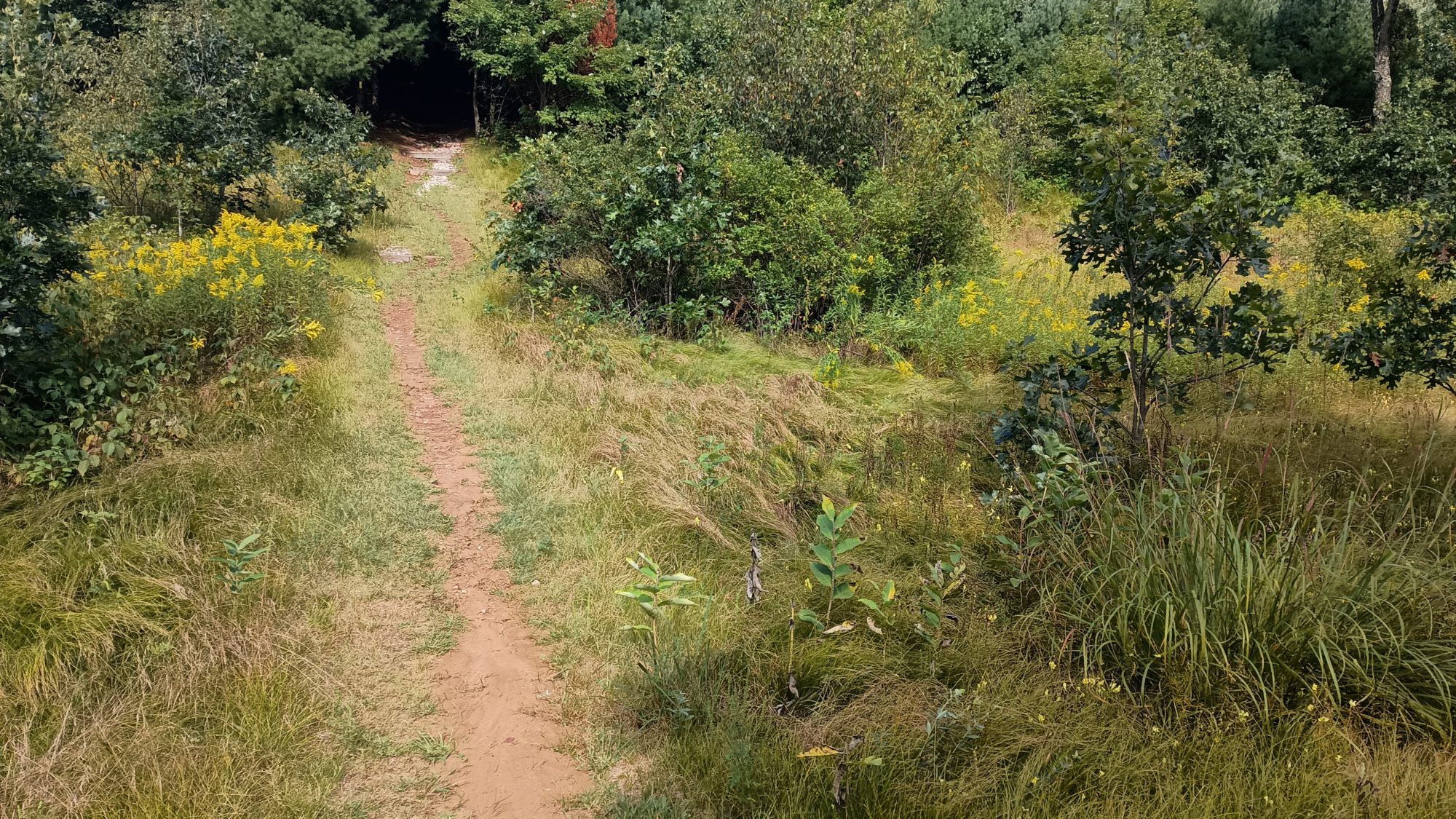
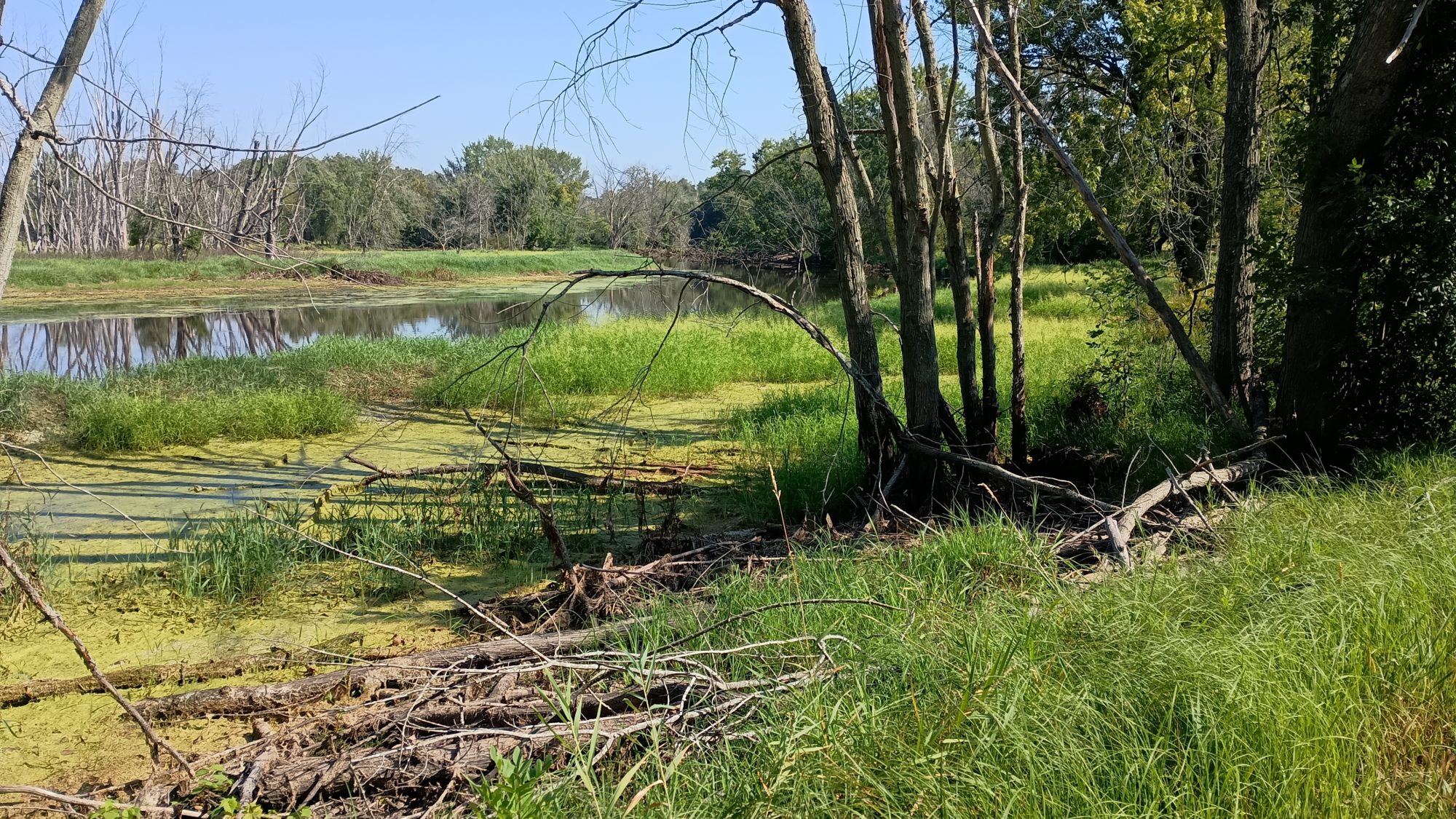
I finally get to the trail section. It is less than a mile of trail but it has a designated campsite. The bad part is the map shows this to be swamp. I hope there will be dry camping under trees and not in grass.
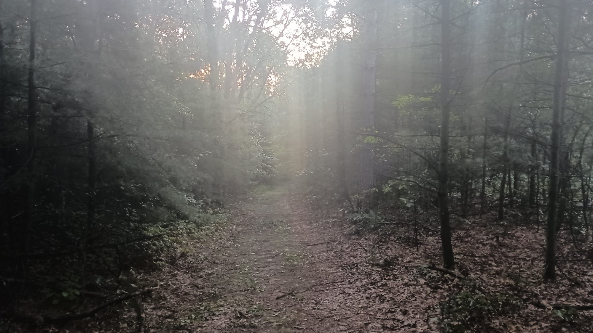
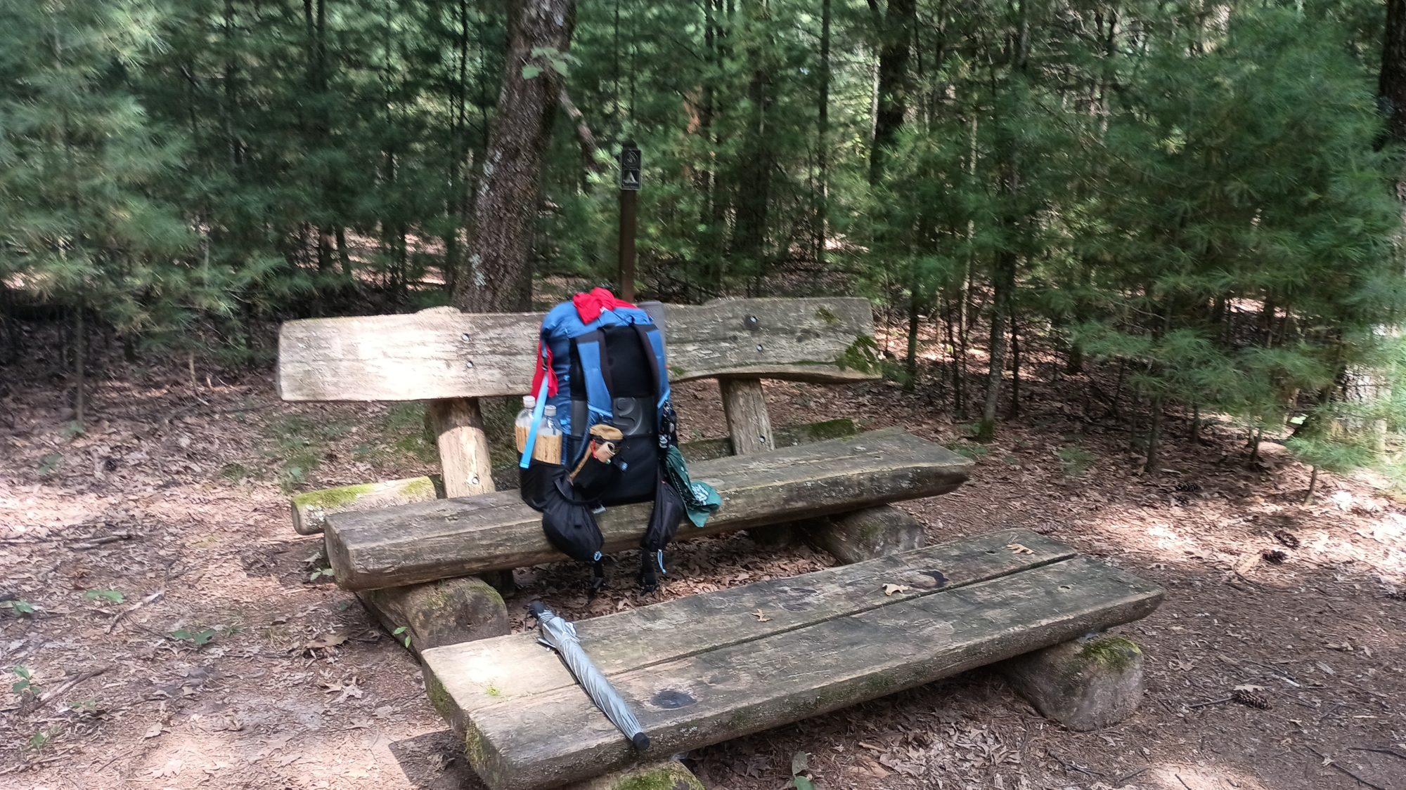
I do see swampy areas around me, but the trail is high and dry among pine trees. This is exactly what I’m looking for. The designated site doesn’t really have flat camping areas. So I get a little creative and pitch my tent on the side of the approach trail. I will have some protection from the rain tonight.
Since I just ate dinner at a restaurant I don’t have to do any cooking tonight. Once everything is set up it is go straight to blogging. The cell signal is not great but it’s good enough to get the text going. But the images are a bit slow and sometimes through errors. But I have a freshly charged phone so what’s with retrying them so I don’t have to do it later.
That has been one thing I enjoy about doing this blog. and because I forced myself to write the blog every single day, I won’t fall behind and end up quitting the blog. Even if I have no cell signal I will dictate to an email and just paste the email at some future date. Pictures are harder and take about 25% of the total time it takes to write one of these blogs. But typically they take about an hour as long as the cell signal is good.
Emotion of the day, Relief
This trail is not like most hiking trails. On a trail like the AT or the PCT, I basically just figure out how many miles per day I want to go and I go that many miles plus or minus a few. There will usually be campsites nearby or I can just stealth camp in many situations.
But with this Trail the road walks dictate when you can stop. It makes it much harder to set a schedule and nearly impossible to alter it. That’s the situation I was in trying to book a room in Antigo.
based on the distances I can go in a day, I only have a very few set of options. In this 5-day stretch of trail there are only seven places to camp. That doesn’t give you a lot of options.
So with the Labor Day weekend looking up the one hotel I needed on the one day I needed it, this has been a nightmare section logistically.
I have been checking availability every day in the hopes that a cancellation would open up a room. I got very lucky today. I know I have a room booked. I don’t have to blast out a 38 mile burner. Or I don’t have to figure out how to slow down for a full day.
I got what I needed on the day that I need it and that is a huge relief.

Recent Comments