5/29/2016
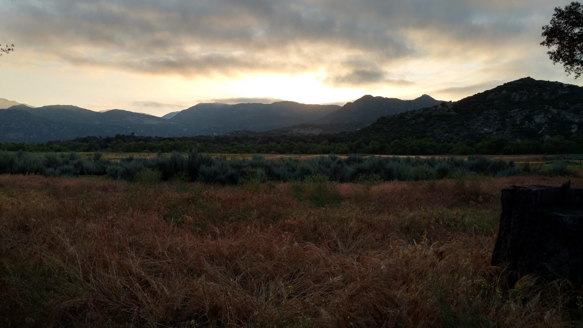
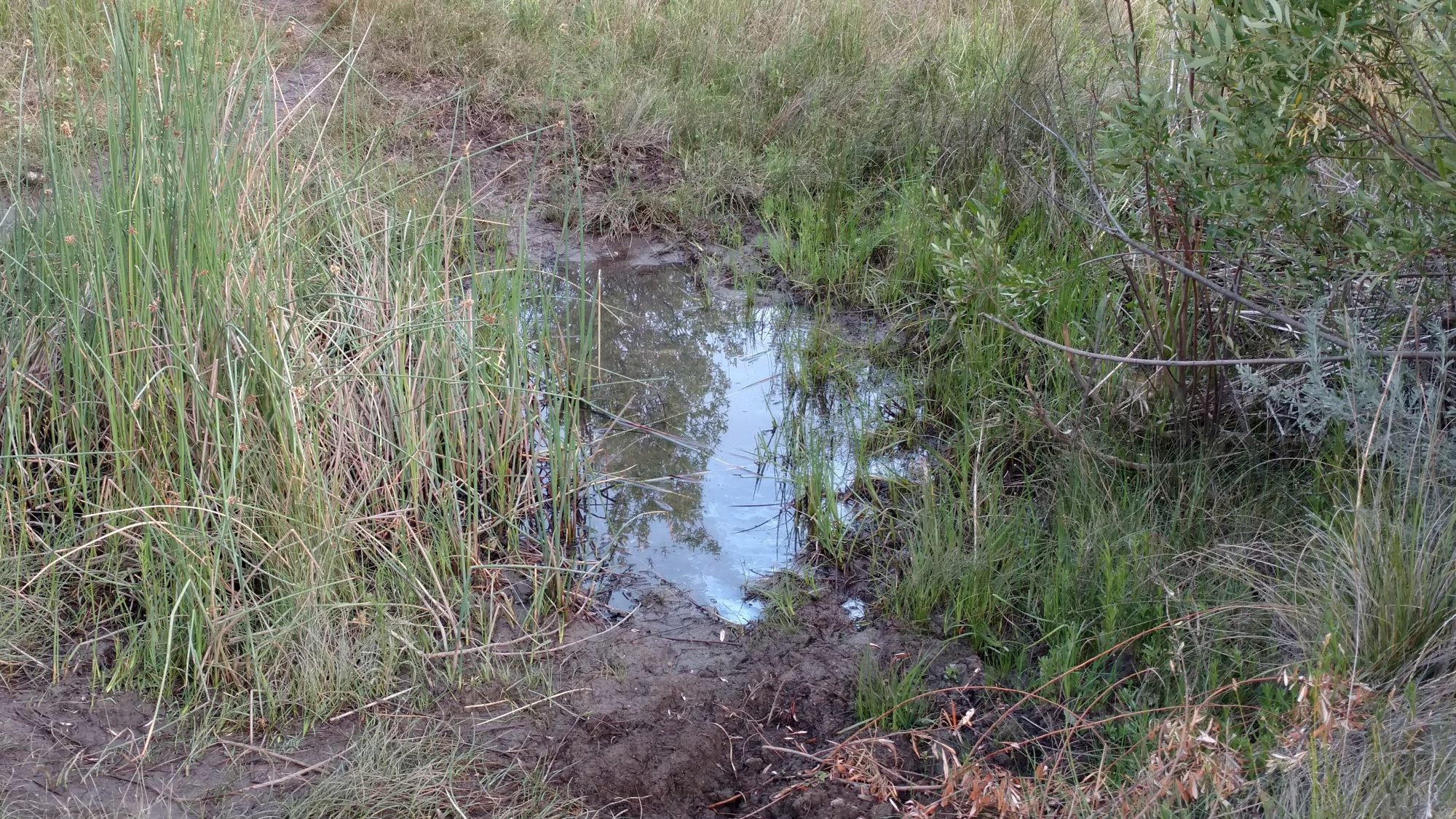
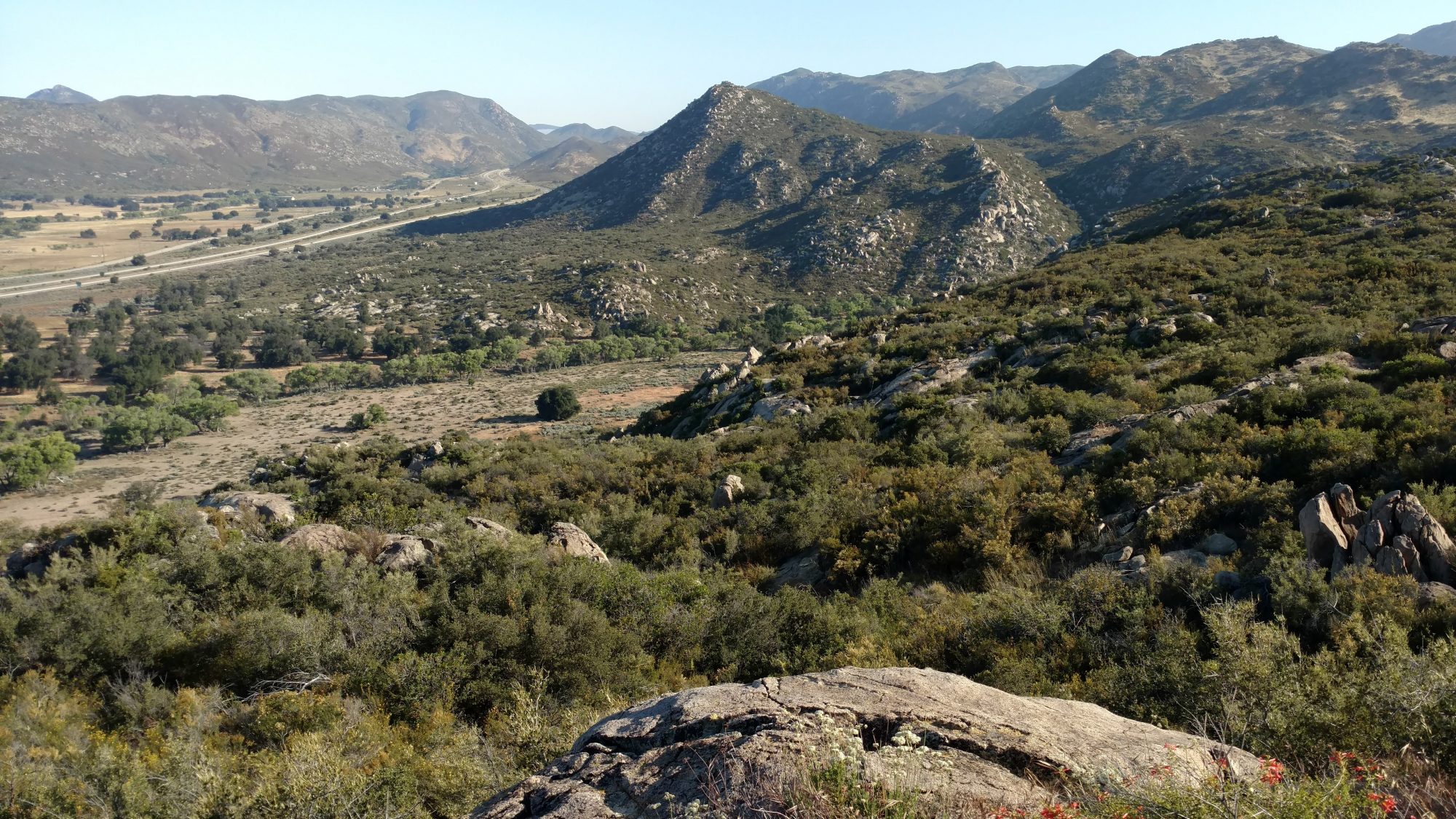
Today was a cornucopia of terrain. I had camped in a lowland flat prairie, then had to climb the typical desert scrub I have been seeing since the border, but then there was a small stretch that had what Karen and I call beach trees (small twisted oak trees) and actually ran across the first two natural water sources of the entire trip, then finished the day in a highland ponderosa pine prairie.
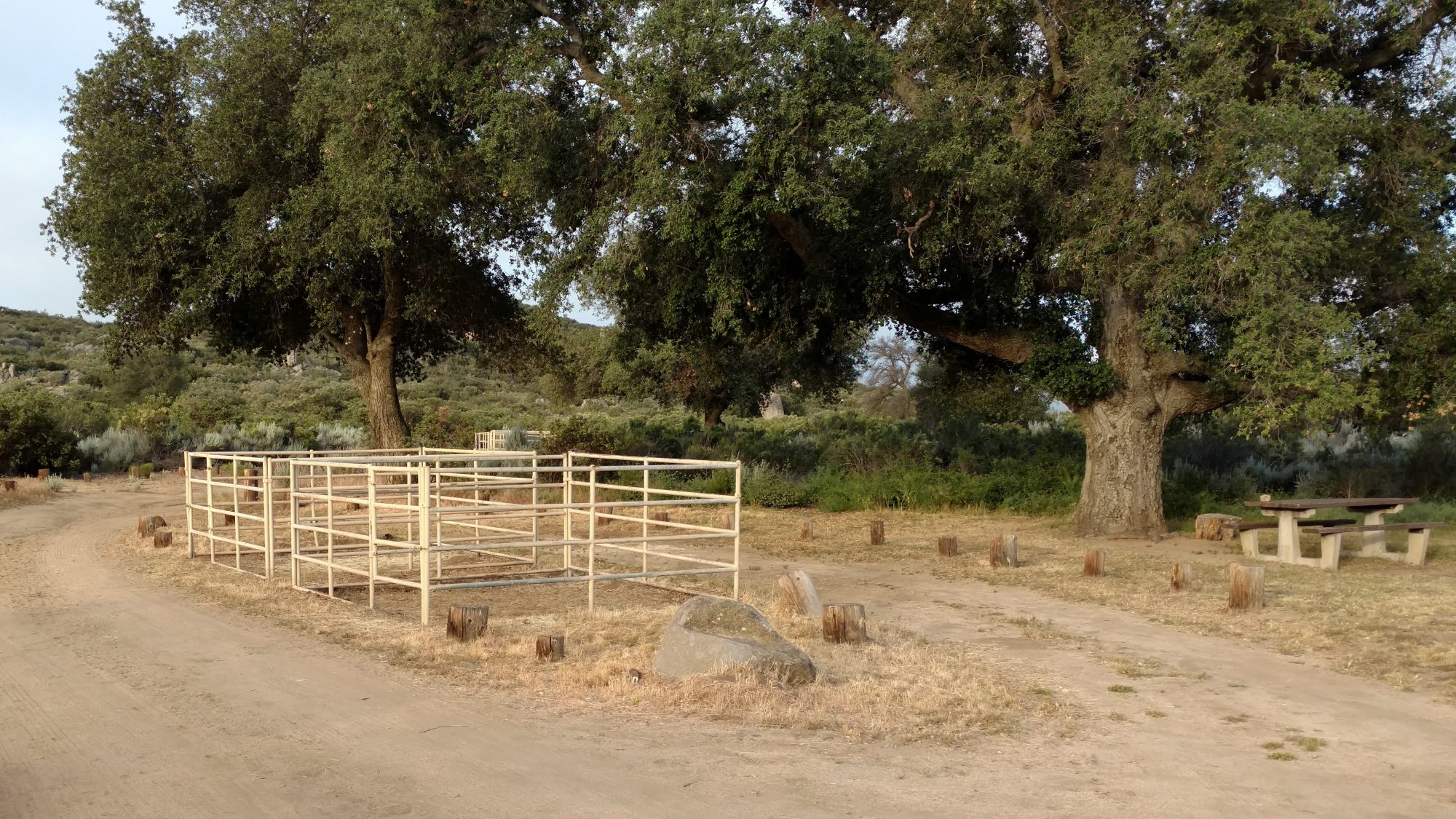
I got out a little later today, perhaps 6 AM. I went by a state forest campground that had horse pens at most of the campsites which was pretty cool. About half the sites were full but no horses. There was supposedly water there, but I never found it and luckily, I did not need it.
I didn’t realize how much of the day was spent climbing until I looked at the map afterwards but the bulk of the day was a steady uphill climb. The trail is graded so you know you are going uphill for sure, but it’s not so steep that you think your chest is going to explode. There are still some rocks to dodge, but nothing as annoying as the AT in that regards.
I took breaks every two hours or so and nibbled on food and drank water and Powerade. It was definitely a much hotter day, but I used the umbrella pretty early on and it really did make a noticeable difference. It made it feel ten degrees cooler. I was the envy of the trail as I met southbound hikers who said it was a smart idea and wished they had one. One couple said they took theirs out of their packs before this trip and now regretted it. I was sure glad to have it.
One of the people I met today is Peter, who just finished his thesis in Poland and is out seeing the world before he has to enter the real world. I actually saw him heading to the border monument as the three of us were leaving it. I also met him very briefly yesterday in the campground as I was headed over to the restroom area. But today we met around noon and ended up hiking the rest of the day together and camping together in a pine meadow just past Mt Laguna.
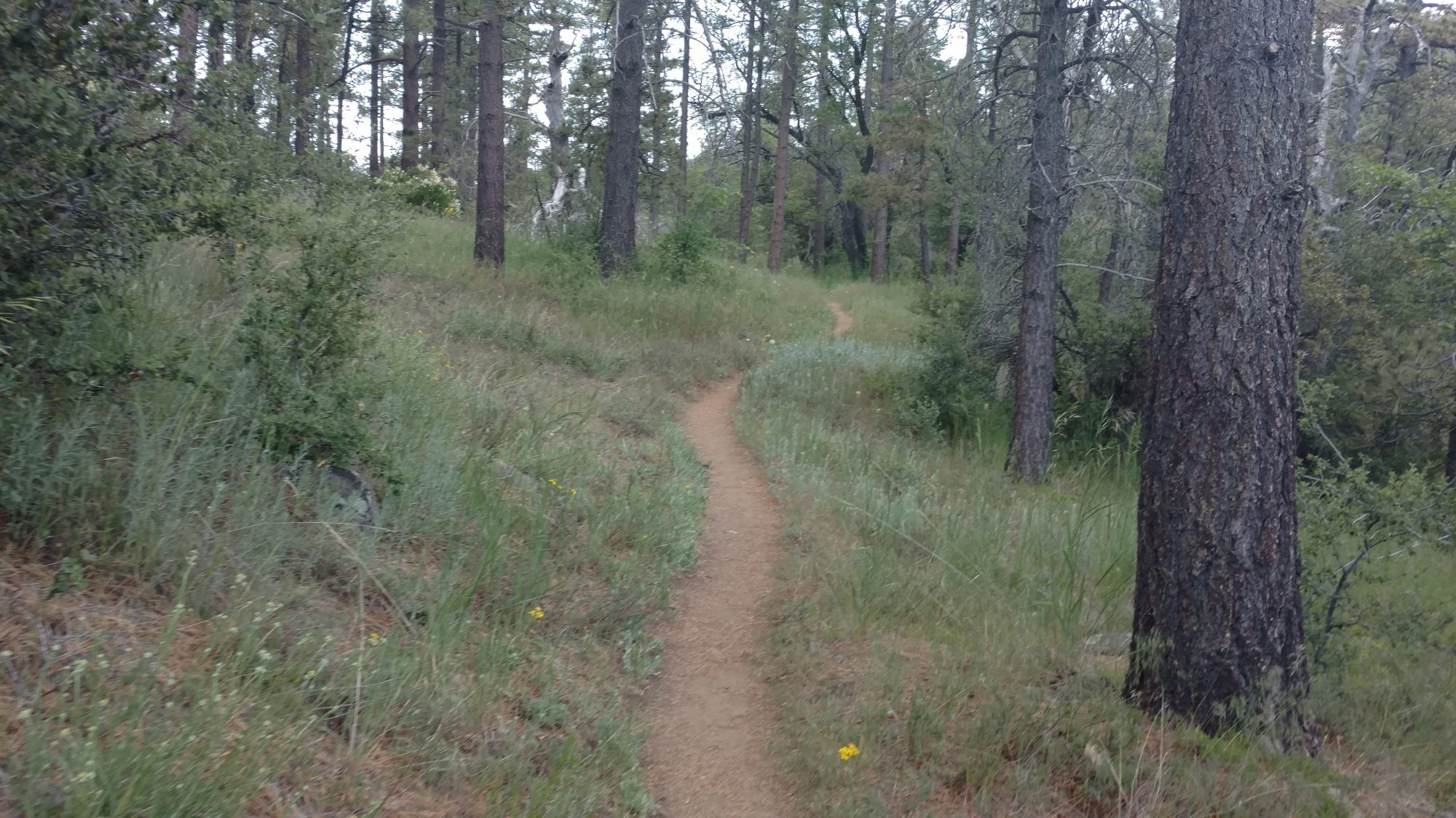
One of the highlights of the day is when we climbed from 5800 ft and crossed up to 6000 ft. The landscape changed dramatically. Instead of being mountain desert, it was meadows and ponderosa pines. It seemed like familiar places in northern new Mexico or Colorado. It seems backwards in my head. On the east coast, higher means smaller trees that can survive harsher weather. In the desert, higher means taller trees that get more rain.
On this high ground is the small town of Laguna Mountain. The post office and it’s store was closed, but the restaurant, outfitters, and showers were open. We skipped past the showers and headed straight for the restaurant. Sine we arrived at 3 PM, it seemed like eating was the appropriate thing to do. A hamburger, salad, and beer later it was time to head to the outfitters.
Peter also had umbrella envy and the next six days are supposed to get gradually hotter, so we stopped at the outfitter. We have a thirty mile stretch coming up without water, so keeping cool is going to be important. It was a really neat outfitter and I found all sorts of neat stuff in the hiker box to supplement my food with. It reminded me of a surf shop, but with hiking gear. At only 40 miles into the trail, I bet this guy does a great business. [Post hike: The owner’s name is Dave, and “getting Daved” is a well known phenomenon where people magically buy things they probably don’t need, but weary bodies want.]
I’m a half day short on food to get to my first PO resupply so I found a few good things to supplement from the outfitters hiker box. He also had cool drinks in a cooler for hikers. I was planning on topping off food at the store connected to the PO, but it was closed, so I was glad to find a few things in the hiker box to eat. I was also able to find a sheet of tyvek that someone had discarded – SCORE! Now I can make a perfect ground sheet.
We got out of town a bit late, so we stopped only 2 or 3 miles out of town to camp. I made curry lentil rice that I got from the hiker box and it was really hot. Now I know why they ditched it. I put peanut butter in it to tone it down and seem like Thai food and that helped, but I just could not eat it all and had to bury about a quarter of it. The first time ever I have not been able to finish a meal while hiking.
I think we have about ten miles before we hit the stretch that begins thirty consecutive miles without water. We have been carrying water for 20 mile stretches, but 30 is more. And I don’t just mean 10 more, it will probably feel like 20 more.
Carrying water isn’t linear, it’s exponential. The more you carry, the more it tires you out and thus the more you need to drink.
I have the capacity to carry 12 liters, but I will probably only carry 9. 30 miles requires 6 for the distance, plus half a liter each night to camp, and two more for safety in case it’s really hot.
We had some cloud cover later in the day today, but the next week is supposed to be sunny. We will be getting up early and probably stop hiking from noon to five then hike again until dark and keep hiking some after dark just to avoid the heat. Fun times.
May 30, 2016 at 3:44 pm
Hurray! Glad to see you back out adventuring Jim. Enjoy the trek and new vistas. Sounds amazing and looking forward to learning some about this trail. Don’t think I know anyone else who’s tackled it as it is so far from Florida.
Tom and I will definitely resume our fun ‘where’s Jim’ evening discussions. Really puts a day of work in perspective. Speaking of which, I love the mile marker designations, I just need a new map.