Camping at the forest service fire station kept me up all night for some reason. I had a good spot, it was not too windy, it was not noisy, but I just kept waking up all night long. I got a late start at 5:30 but went back for more water and to cook some black bean soup I should have eaten days ago. It was not too good. Whenever plentiful water is available, I try to cook.
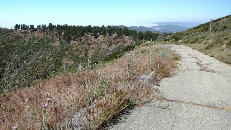
It was only a few miles from the fire station that the poodle dog bush bypass began. It followed the road parallel to the trail for six or seven miles. There was poodle dog all over the road even. There were at least two back country campgrounds that were basically now deserted because of the road closure. [Post hike: This area was cleared of Poodle Dog bush and this section of trail reopened in 2017.]
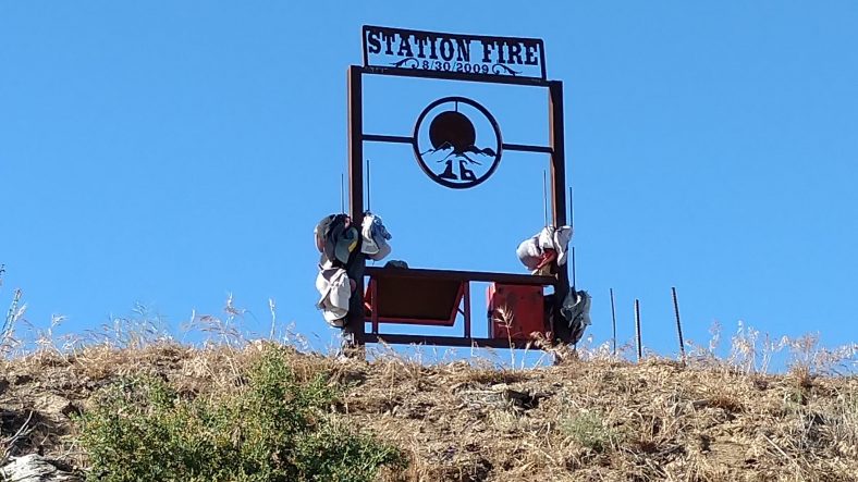
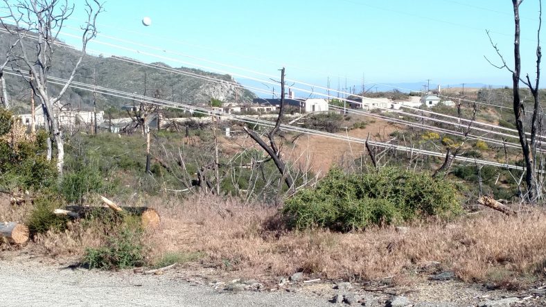
Even the old station with its burned out buildings was very eerie. I’m not sure how many people lost their lives in that fire, but it was enough to erect a monument to them.
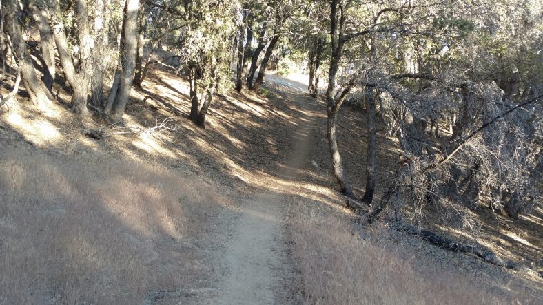
The trail after the road walk still had some poodle bush, but just the normal amount. I hit the ranger station 17 miles from the fire station at about 1 PM or so. There were three other hikers I had not met yet already there, and one more showed up shortly afterwards. The caretaker there (another abandoned campground) was supplying bottled water. I cooked a big lunch and rested my feet for a few hours. I’m starting to use the flip flops as much as I can now to let my feet rest and dry out.
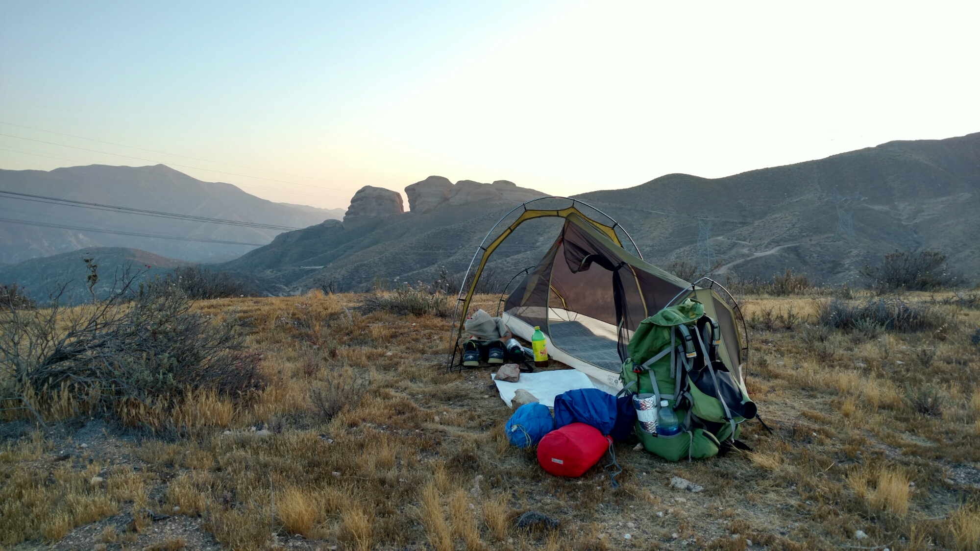
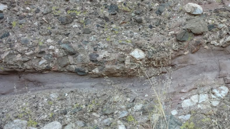
I headed out at three to set off for anywhere past the KOA campground eight miles ahead. I was able to find a nice high spot overlooking some interesting rocks and get there before 7:30 and had plenty of time to make camp, clean a bit, and cook a big dinner.
I have only about eight miles to the next town, Agua Dulce, where I will probably take a nearo to take care of chores that need to get done. I would normally be there by 8 or 9 am, but six miles from here are the Velasquez rocks, where several Star Trek episodes were filmed. I have an idea I will hanging around there quite a bit taking pictures.
June 15, 2016 at 6:02 pm
All the pictures below the one by the post’s title show up tiny for some reason. Like this one where the picture looks like it’s captioned by “The monument to the 2009 station fire that was the worst in Angeles county.” shows a minuscule pic with left justified caption text.
June 15, 2016 at 8:42 pm
Mobile WordPress is not a joy. Perhaps Robert can fix?