Today I officially entered Sequoia and Kings Canyon national park, so the bears are for real, and so are the rangers. All overnight hikers are required to carry a bear canister for food storage in these national parks and Yosemite. Five miles before I even got to the border of the park, a ranger was there on the trail to check my permit and bear canister. I passed with flying colors.
The morning started out like they all do, wake up at five and hiking by 5:45. I had some uphill to contend with, but the mosquito’s were not as bad as they were the night before. I passed several hikers still in their tents until nearly 8 am. Don’t they know they are missing the best part of the day?
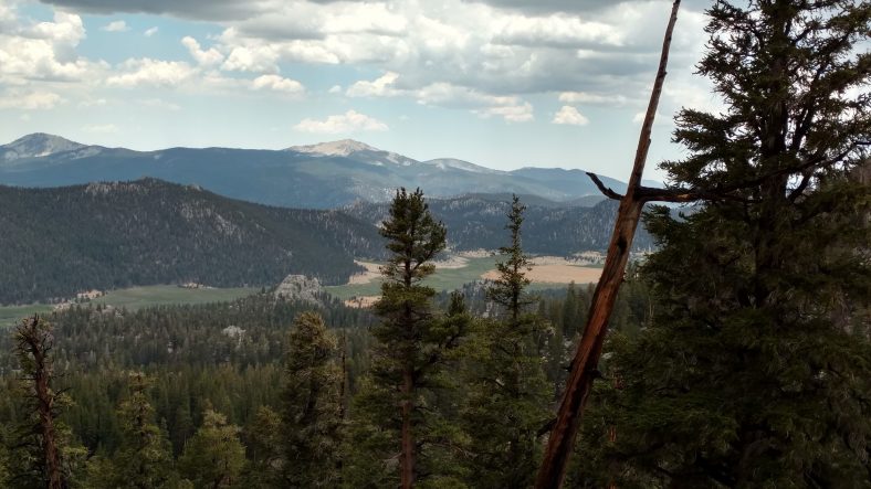
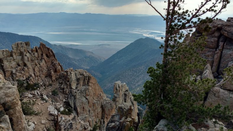
The trail skirted a high point that had a view of a valley to the east. The AT&T folks had signal, but not Verizon. One of the rare service inversions. I tried several times from several vantage points and actually did get a signal a few times, but never got data or could send out texts or make a call.
Later in the day, we passed a junction that led East to Independence, CA that several folks were stopping at to resupply. I tried to get a signal there, too, with no luck. We are so deep into the Sierra that there are just no towns within eyesight.
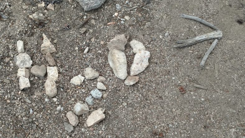
There were several water sources that I passed today, so I think I never carried more than three liters and typically just two. Sometimes when you come to water, there is a small side trail that is easy to miss. In these cases, people make signs in the trail with stones or sticks. I typically see something like this nearly every day. It does help keep you from missing something like water that might be critical at the moment.
The real excitement of the day was a rescue helicopter that flew overhead in the afternoon. He came from behind me and flew almost directly overhead. just after he passed me, he started playing siren noises like a cop car. Can’t say that I’ve ever heard that before. I could hear them speaking on a PA system to people on the ground, but could not make out what he was saying. About twenty minutes later, I heard a boom very close to me in the woods to my right where a meadow was that had water. In fact the picture is from that intersection. It took me a few seconds to figure it out, but the boom was the helicopter igniting it’s engine so it could take off. I watched it thru the woods. It lifted very slowly then took off in the direction it had come.
A few minutes later, some hikers passed me and we got to talking about the helicopter. Apparently a couple who were hiking the PCT had the wife twist her knee a few days ago and they kept hiking until the swelling got so bad, that they activated their Spot device to be extracted. They were only two miles from the intersection that would have taken them to the trailhead and into town, so they must have been in a bad way. They also mentioned that the altitude was so high, that they could only take the wife and even had to unload some equipment from the helicopter into the field. The husband ended up having to take the side trail into town. Poor guy.
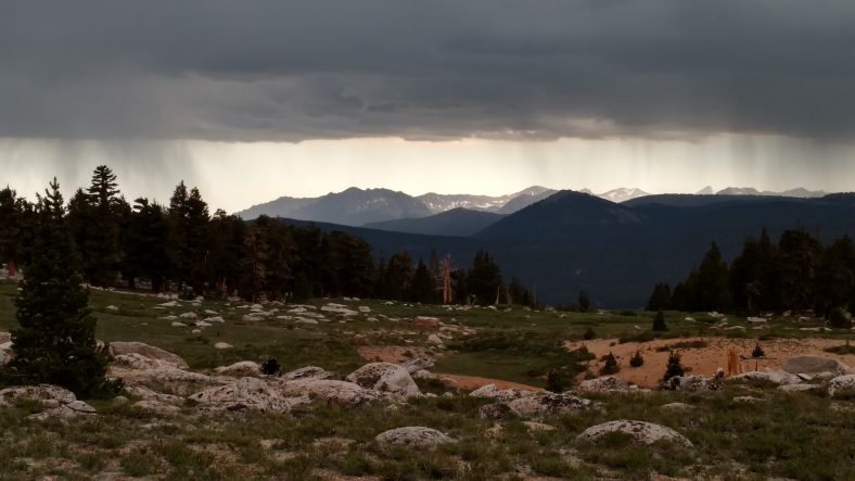
Later in the afternoon the wonderful clouds that shaded us all afternoon finally turned to rain clouds and let a light rain sprinkle on us for about an hour. I could see lightning way off in the distance but none struck anywhere near us. It was cool but not cold. My umbrella kept me dry, but my shoes got a little damp.
I wanted to hike a little later than yesterday, but still camp with daylight left, so I found a decent spot to stop at 7:30. I pitched the tent quickly so that I could get started on dinner. I had not eaten enough during the day and I was hungrier than usual. I found a good rock to cook at that was 100 ft away from the tent and proceeded to cook mashed potatoes that were more than the normal size I cook. And as luck would have it, I boiled over the pot and got milky water all over the stove and ground. The first time I have a cooking spill would have to be my first night in bear country. At least it’s pretty far from the tent.
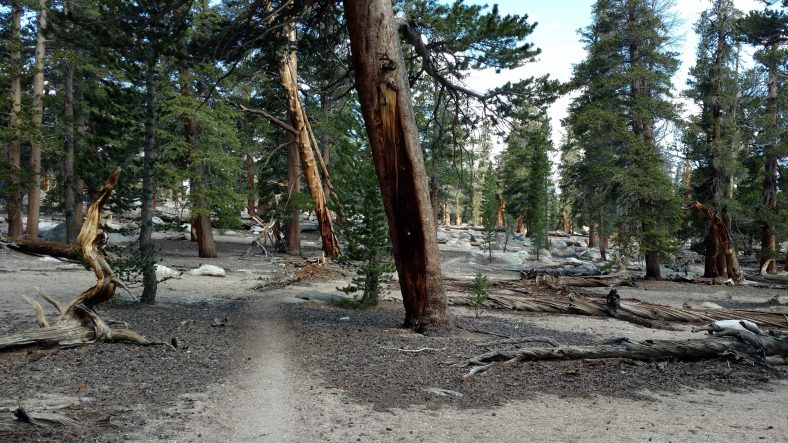
The pines are a welcome sight, but California just simply does not have undergrowth the way the east coast does.
I am camped at 11,000 ft and I’m only ten miles from the junction to the Mt Whitney trail. The side trail to summit is 8.6 miles, so to try to summit would be a 27 mile day, which doesn’t sound doable. I’m not a peak bagger, so missing Mt Whitney is not that big of a deal, even though it is the highest peak in the continental 48 and over 14,000 ft high. I am camped in its shadow right now and can see it well. Perhaps I’ll hike the John Muir trail some day, which ends at the peak of Mt Whitney.
July 8, 2016 at 3:33 am
Hey, Jim. Glad you’re not all burny. I took a trip out west years ago and summited Whitney; pretty sure you know that story already. Try to stay outside the bears, okay?