Another long day today. I went over Muir pass towards the end of the day and it was a long and rough five miles over the pass. I intended to go another mile to a campsite but this spot next to the river overlooking Muir pass looks good enough to me.
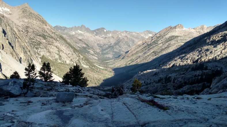
I slept like a baby last night. I don’t think I awoke once until 5 am. I lazed in bed for another half hour before getting up and I was on the trail at 6:30. It was a long and steep descent into the canyon with lots of large rock steps. They’re not any more fun downhill than uphill.
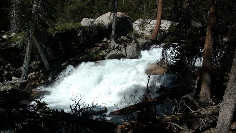
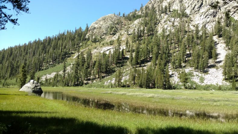
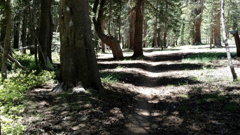
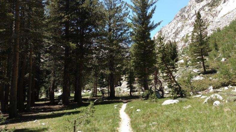
Once near the bottom of the canyon it was a nice densely forested are with lots of streams and a meadow that was so nice I wanted to stop and camp at 10 am. The first five miles up the other side were just as nice and there were only small sections that were steep. No more than a quarter mile before it tamed out for a quarter mile.
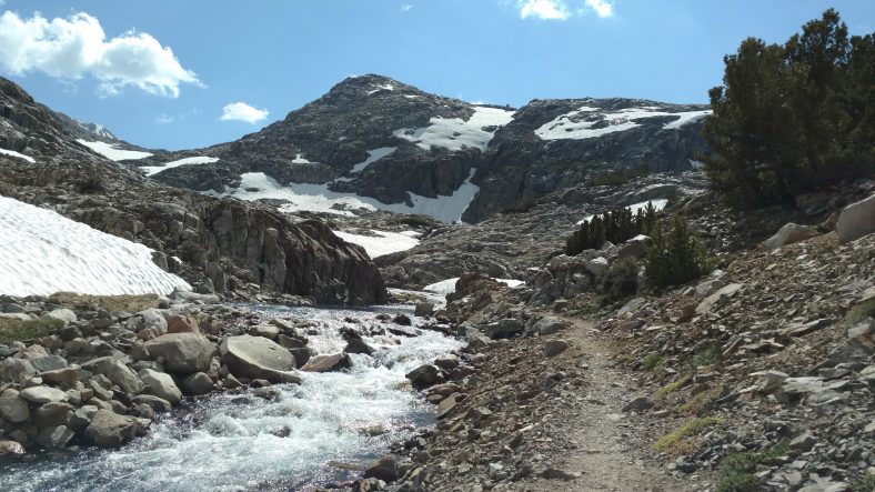
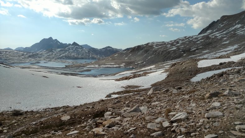
The last four miles or so to Muir pass were pretty brutal, though. It’s not that it was steep or rocky, but that there was so much snow all over the place that it was hard to stay on trail. I know at least one full mile of those four I was not on trail. And then when I would find the trail, there would be no footprints in the snow. People were making their own trails where ever they wanted to.
Some of the snow was deep and it was thoroughly exhausting to slog through. I put on my microspikes pretty early into the snowfields which helped with traction, but the straps trap snow and your feet get very wet very quickly. I wasn’t worked about frostbit because it was sixty degrees, but my toes felt frozen.
Some of the tracks across the snow were quite dangerous, too. I saw at least three ice bridges where there were tracks on top of them. An ice bridge is when there is a thick blanket of snow, but melting snow has flowed underneath it such that there is a smaller layer of snow with an air gap below it and run ng water below that. Some of them were small, and not that dangerous – perhaps a three or four foot fall into six inches of water with only one foot thick of snow to support you. But one was huge and scary – four feet of snow over a rushing rapid that was at least a fifteen foot drop into four or five feet of water moving very rapidly. I did inadvertently end up going over there be by accident. I didn’t realize it was an ice bridge until I was already half way across. You could not see the running water from where I started, but you could see it half way across. I stepped very gingerly for the ten feet or so I was at risk. It would have been about a four foot drop and I guess I had about three feet of snow supporting me. I used my ears as well as my eyes after that.
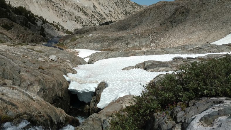
This is a very dangerous snow bridge over a 20 foot drop where several hikers have been walking straight across the top of it. Not me.
I could see people coming down as I was going up and could tell that they were nowhere near the trail. I just kept following trail until I lost it, then check with the GPS to see which direction it was from me, then bushwhack back to the trail and repeat.
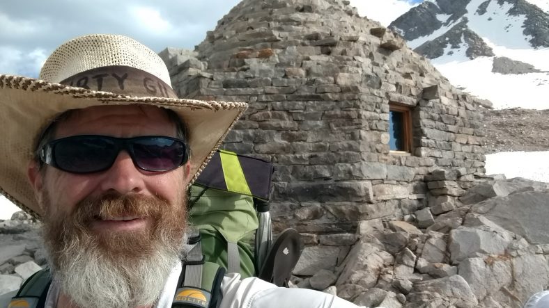
I got to the top about an hour later than I was expecting and was glad to get there. At the top is a round stone shelter built in honor of John Muir. Even the roof is made out of stone. It had a fireplace but it was bricked over. There’s not a tree for two miles of this thing so it’s probably best that it’s shut out to keep the wind out. I expected it to be windy, but it was actually a very nice day with just a gentle breeze.
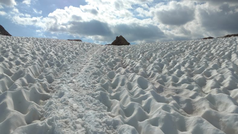
The last snow climb up to the hut at Muir pass. You can clearly see what a sun cup is in this picture.
People I had met going southbound had mentioned the climb up would be long, brutal, and snowy. But they all said the North side was a walk in the park. Boy were they wrong. I had a similar experience losing the trail and not seeing footprints where they should be.
It was five miles down to the nearest camping spot and I wanted to get there with enough light to do all the camp chores. I had enough energy, but it took forever with the navigation problems and dodging water and mud. I found a closer spot about 7:45 so I will stopped there and had just enough time to get everything done.
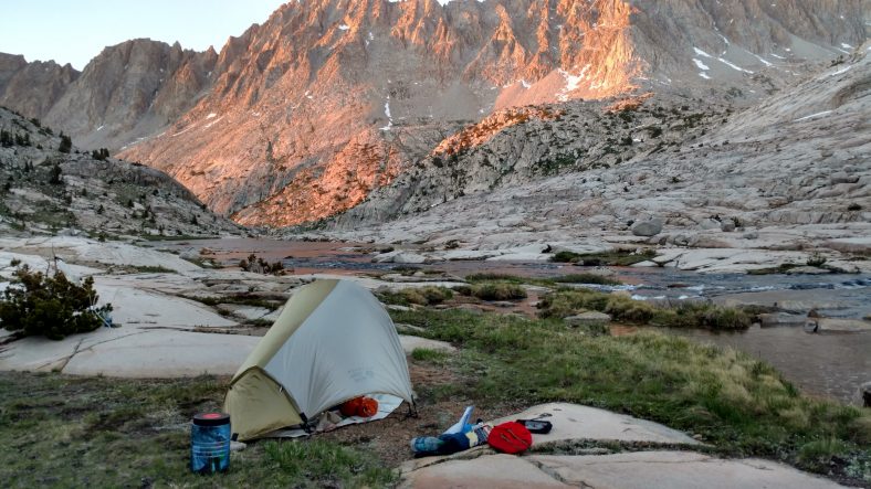
A nice camping spot on sand and gravel with big slab rocks to sit on and cook. This picture is posed – I cook and leave the bear canister about 80-100 yds from the tent to keep food smells away from where I sleep. But I sit on the bear canister as a stool while I cook.
I will try to sleep in tomorrow and relax a little more. I’m not sure what’s in store yet other than the largest river crossing of the trip. I’d like to make it a shorter day to rest up a little, but these passes more or less dictate where you can and can’t stop. I hope I can stop in the middle of a canyon for a change instead of rushing to get out of one and into another.
Recent Comments