Day: September 26, 2020

Day 19 mile 285.9 Rain all day

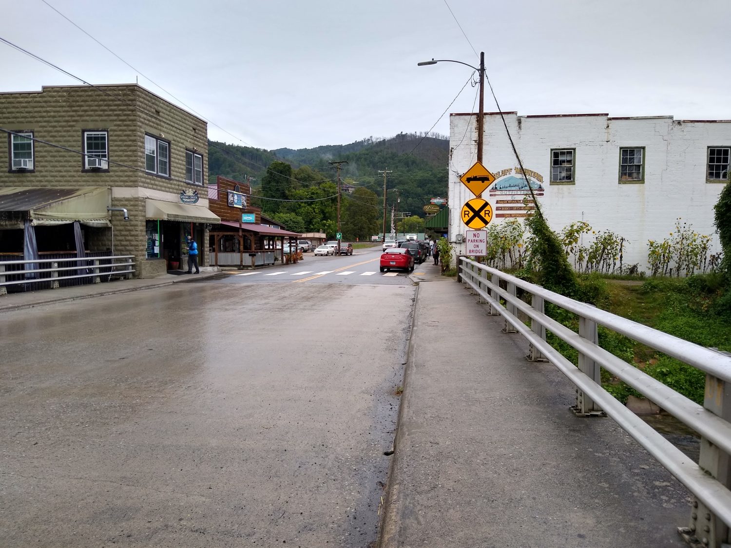
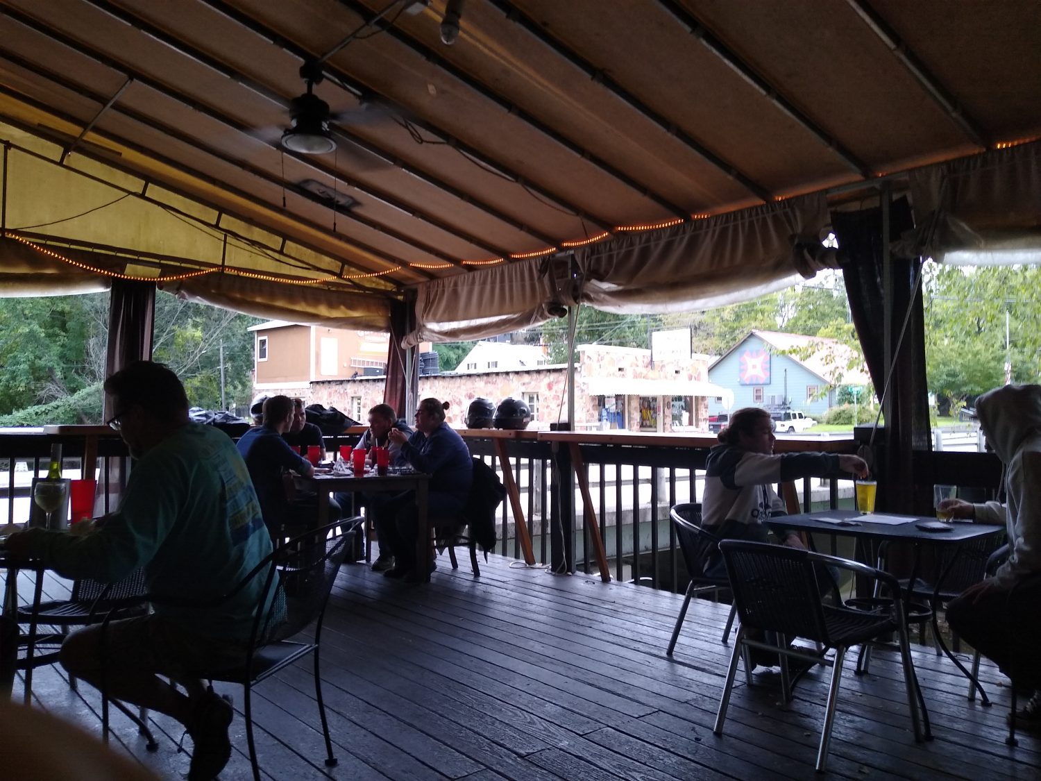
The day started out great. I slept in until 8:00 a.m. and then walked down to the diner and had a big breakfast and eggs, hash browns, biscuits and gravy, and a chopped steak. I also ordered a steak biscuit to go to have on the hike.

I made a quick stop at the Dollar General and got some snacks for the hike. They had sour jelly beans and those are my favorite so I’m looking forward to having those on the trail. They also had Oreos individual packs and those look interesting just to have a few Oreos instead of a big pack of them.

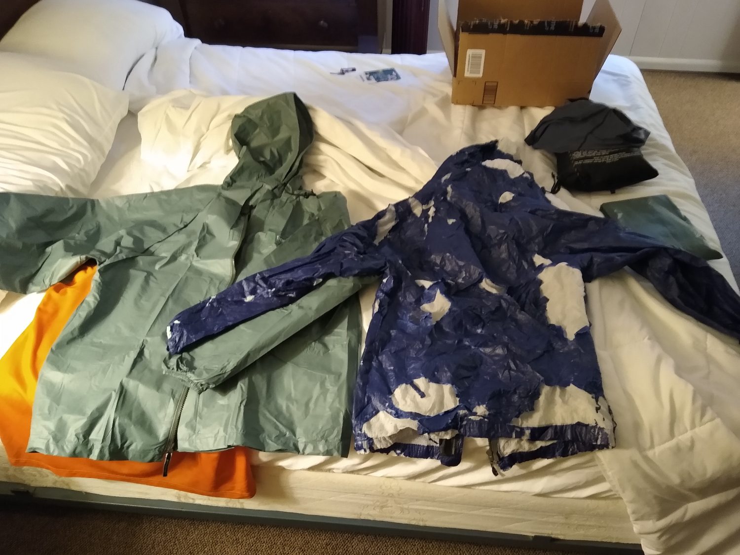
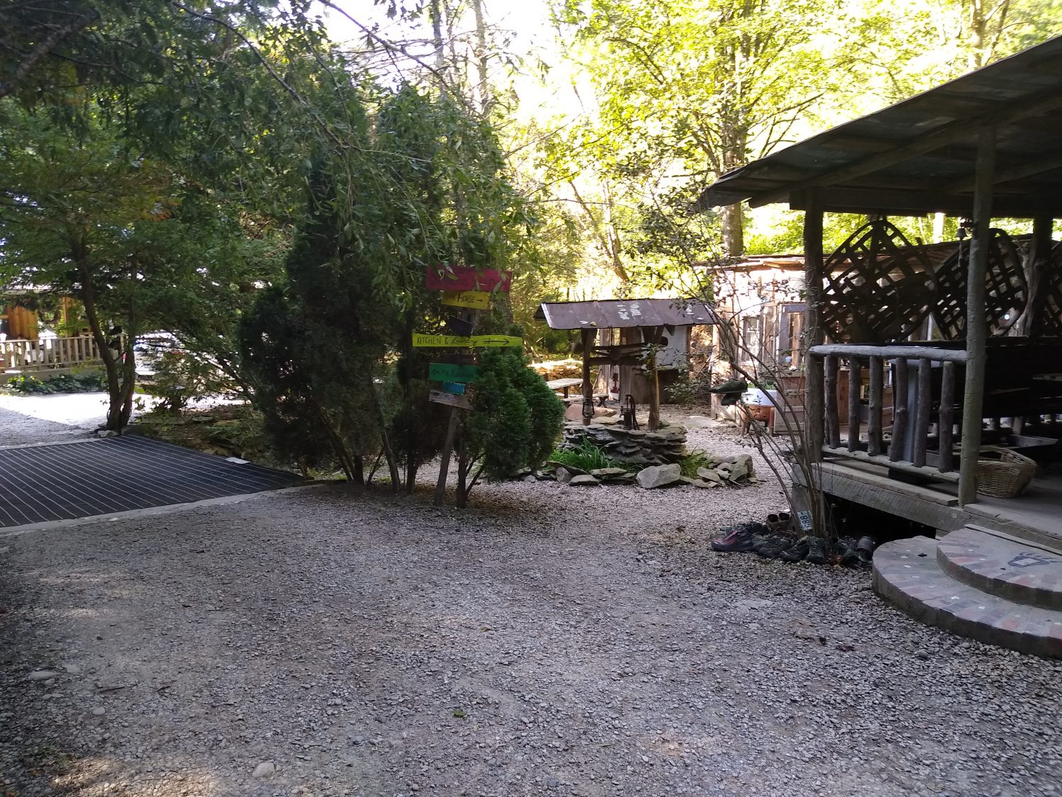
One last stop at the post office and I was able to pick up my rain jacket and new memory card for the camera. I’ve already taken over 200 gigs of video so I need to make sure I have a spare so I don’t run out of space. The new rain jacket replaced the one that I melted in Fontana and can finally throw away now. I hate to see that jacket go because I’ve used it for over 3,000 mi of hiking.

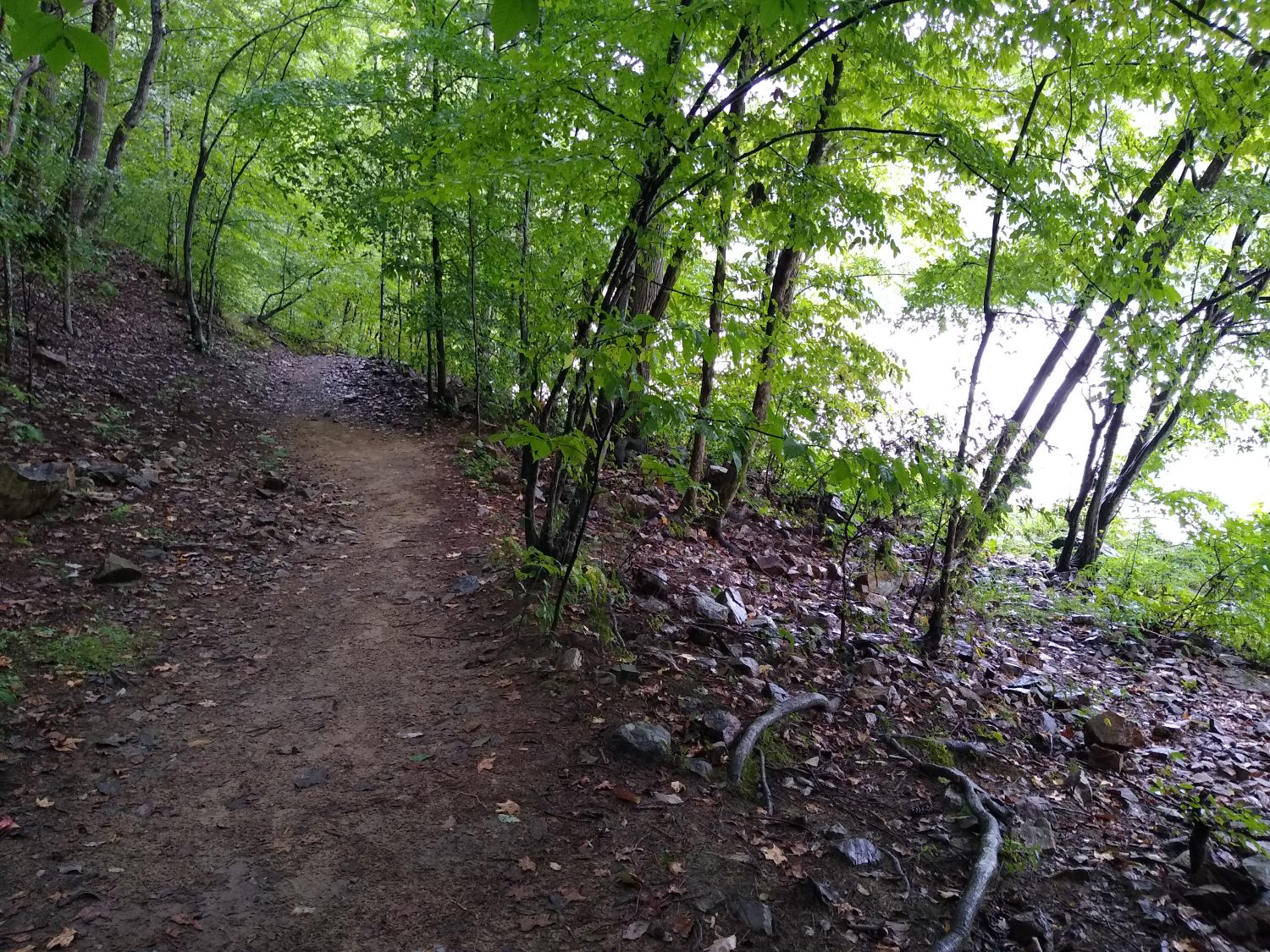
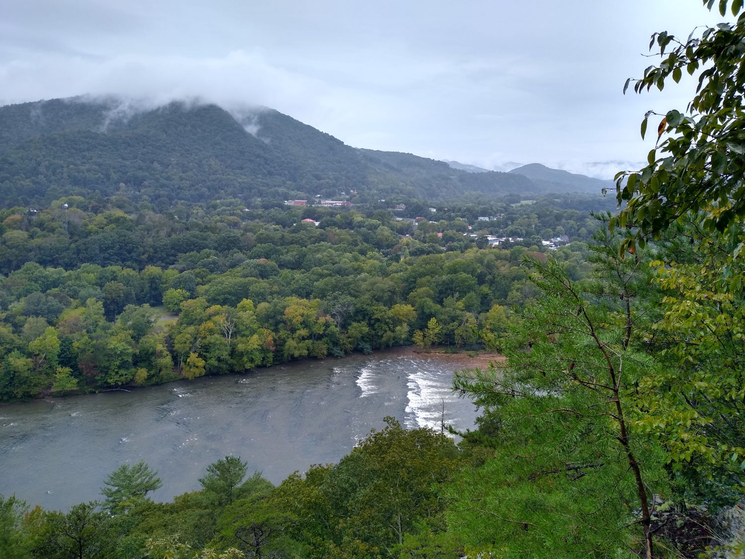
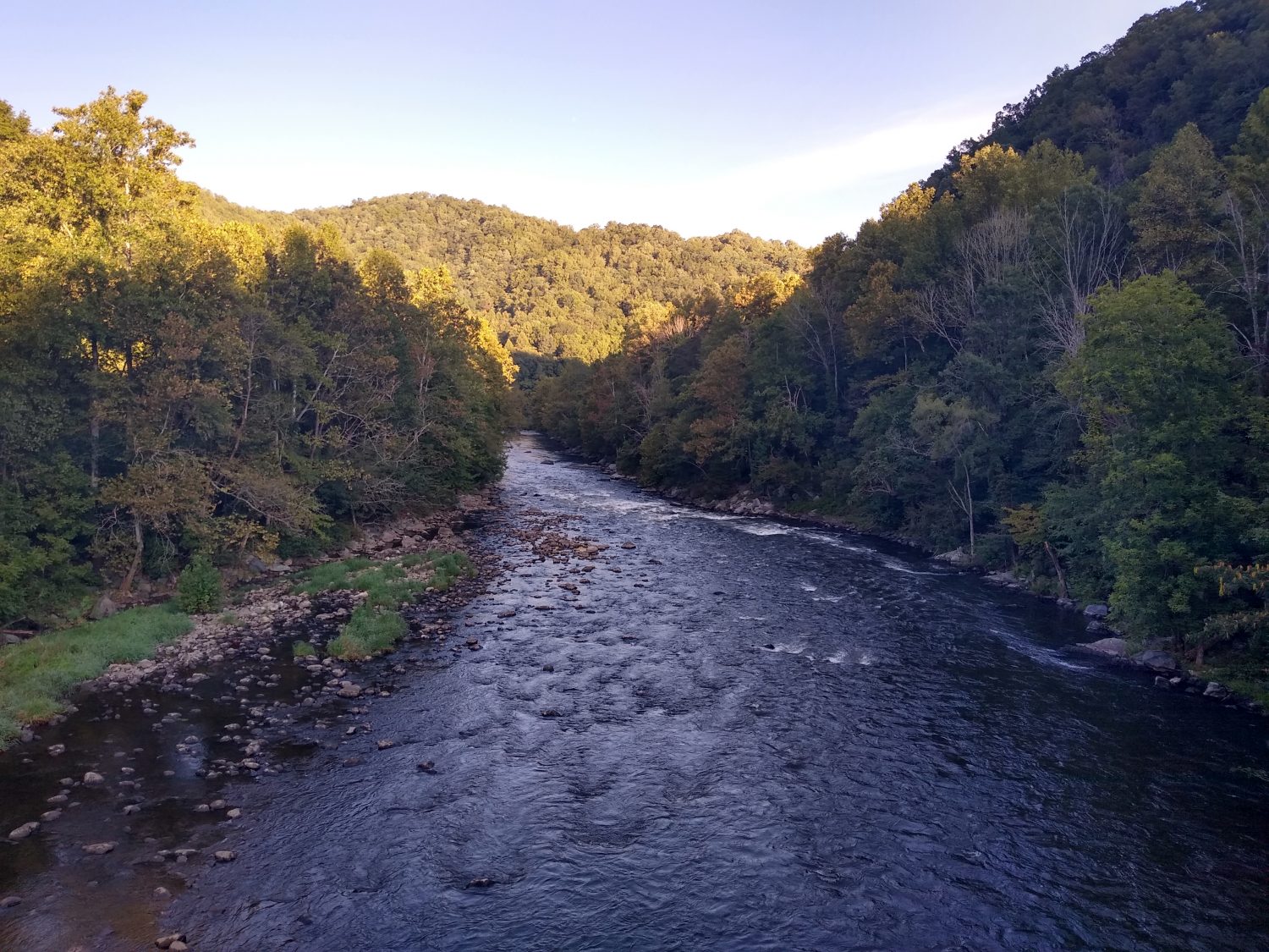
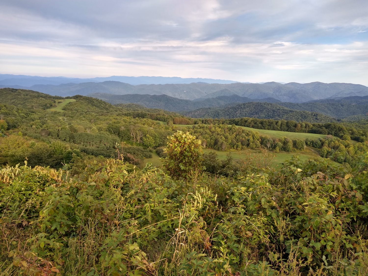
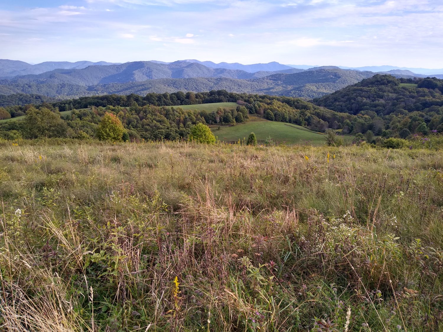
I was able to make it out of town at 10:00 and the rain started picking up again just as I was crossing the French Broad River. A hike up Lover’s Leap was just as I remembered. It was very steep and very rocky but it wasn’t too slippery in the rain. It wasn’t totally fogged up yet either so I got pretty good views of the town even though a lot of the trees have grown into many of the views.

After crossing Tanyard Gap and making decline and up to Rich Mountain Fire Tower I came across a woman with a dog. She didn’t have him on a leash and he was really aggressive. His hair was standing up and he was showing his bare teeth. It took her over a minute to get him under control. Nice doggy.

I rode to the shelter just after 4:00 and there were already two other hikers in there who had just arrived a few minutes earlier. I wanted to move on so I could get closer to Sam’s Gap but the next shelter was too far to make before dark. The two hikers seemed pretty interesting so I decided to stop early and stay in the shelter with them.

It turns out one of the hikers was a thru hiker from ’96. He and his newlywed wife did their honeymoon on the AT together back then. They survived the height and the marriage but it seems like he does most of the hiking these days. The other hiker it turns out does the advertising for a distillatory in Tennessee that Karen and I love to go to. I can’t wait to go there next time and start doing some name dropping just to see the owners jaw drop.

It started raining again just after we hung the bear bags so it was good timing to just go to sleep. It’s been a while since I’ve gone to bed at 8:00. We’ll see if tomorrow has some breaks in the clouds for a good hiking day.

Day 18 mile 275.0 Hot Springs at last

Hot Springs is another milestone on the trail as it’s the first town you actually walk down Main Street as part of the trail. It is also home of a great outfitter, several grocery stores, and a few motels and hostels as well as some great restaurants.

I got up at about 6:15 and in the narrow cove that I was in it was still very dark at that time. I packed up and was off hiking before 7:00 a.m. in the dark. I had to use my headlamp for about 15 minutes of hiking just to make sure I didn’t trip over any rocks or roots.

The terrain in this section of the trail is pretty level and it was easy hiking for the first two hours. There were only two mountains to climb Walnut Mountain and Bluff Mountain. The top of Walnut Mountain was a grassy field and there were several people camped out in tents on top. I must have passed at least four or five tents by 9:30 in the morning and every single one of them was still asleep. Don’t they know this is the best time to hike?

The rest of the day was pretty uneventful I saw very few other hikers. Water was plentiful in the first half of the day but a little bit scarce in the second half of the day so I stopped whenever I could find some just to make sure I didn’t run out trying to make it into town.

Once I realized I was making good progress towards town I looked up the hours of the post office and found out that they closed at 4:00 p.m. based on my current speed. I was going to get into town right at exactly 4:00 p.m. I decided to try to pick up the pace a little to see if I could get there before they closed. With only about a mile left of town I realized I was going to be 5 or 10 minutes late so then I eased off the pace a little bit and ended up getting into town at about 4:15.

The town is pretty much the same as I remember it. This is one place that Karen and I go back to every few years either to hike, go tubing, or just to hang out around the town. The first order of business was finding a place to sleep. I decided to just try the Alpine Court Hotel since it was right in the center of town. There was no one at the office. They just had a telephone number to call and they would give you the combination to a lock that would get the key to your room. It was a very weird tele hotel experience but I got a room so I’m happy.

What I am not happy about is the laundromat in town apparently closed about 7 years ago. I have a lot of stinky laundry and would really like to wash them. The few particularly offensive items I washed in the sink and hope they’ll be dry enough to wear tomorrow. If not I’ll keep wearing the same stinky stuff again tomorrow.

The cell service in town is horrible. I can barely get one bar and there is no data service at all. The hotel Wi-Fi seems to be broken but the information center works fine but I have to walk down the street to use that Wi-Fi.

Most of the restaurants are still open but half of them closed. My favorite one on the creek was still open and I got a table and was able to get a burger, chicken wings, and a beer. It was way better than mashed potatoes.

I was able to get what I needed as far as resupply at the outfitters but I will have to go to the grocery store to get cookies. I don’t know why but I’ve been craving cookies lately. And I would probably vomit if I had to eat another Frito. But for now it’s off to sleep until the stores open at 9:00 a.m. and I can finish my town chores.

Day 17 mile 257.0 Grand views on Max Patch

The highlight of the day wasn’t actually Max Patch but almost getting bit in the butt by a rattlesnake. The shelter where I stayed last night did not have a privy so as soon as I left in the morning I had to find a place to dig a cat hole. I quickly found a place, dug my hole, did my business, cleaned up, pulled on my pack and was ready to leave when I heard a noise. At first I thought the noise was squirrels but it was too slow. Then I thought “maybe that’s a rattlesnake” but it was too fast. A quick scan of the area revealed a timber rattler coiled about four feet from where I did my business. Why he waited until I got my pack back on and was ready to leave I have no idea but I’m glad he didn’t bite me in the butt.

The morning was very cool and I quickly made it down to Davenport Gap and cross the Pigeon River and Interstate 40. The Standing Bear Hostel was about a mile up the trail and it didn’t take long at all to get there. It’s a very neat campus with all sorts of little buildings decorated and lots of stonework and is very cute. I was just there to get some food and alcohol for the stove and be off again. The selection of resupply items was pretty thin but I found a few things to tide me over for the afternoon. I paid the owner and was on my way. I had to climb about 2500 feet up to Snowbird Mountain. The Coke and the chocolate milk that I just drank should help fuel my body for the climb. And it did just that. The climb took close to 2 hours but I was up on Snowbird Mountain in the beautiful warm sun and sprawled out on the grass field to have my lunch.

Where the temperature in the forest seemed like it was in the ’50s here in the sun it seemed like it was getting close to 80.  It was glorious. I sat in the sun eating my lunch for about 30 minutes and got all my damp clothes dried out in the sun.

Snowbird Mountain is memorable to me because in 1989 I camped on top of the mountain in a very bad thunderstorm and everything got totally soaking wet. The FAA tower itself looks the same but the mountainside around it all looks different now.

The rest of the day was a lot of up and down climbing. Someone had mentioned that the section was 8,000 feet of climbing and now I believe them. I realized shortly after lunch that I would be arriving at Max Patch about 6:00. The thought of camping out on top of Max Patch was very intriguing so I thought I better try to make it there, but with the up and down climbing it was a little slower than I expected. Luckily I did manage to get there about 6:15.

When I arrived at the peak it was very windy and very, very cold. There were about half a dozen tents, possibly more, already on top of the mountain. There were a lot of clouds obstructing the sunset. It was pretty but the combination of clouds and the crowds up at the top made me decide not to camp up top and keep going down into the forest where it would be much warmer.

I walked a little over a mile further to the next shelter trying to look for tenting spots along the way but nothing was suitable. I went ahead and pulled over at the shelter with the intent of setting up the hammock and it was a good choice because when I arrived there was someone who would set up their tent inside the shelter.
I set up my hammock then made dinner hung my food on the bear cables and now I’m ready for sleep. It is not terribly cold here and I hope it doesn’t get much colder in the middle of the night. I have about 19 miles to Hot Springs and I’m hoping to try to make it before dark so I will get up early and try to leave before sunrise.