Category: Pacific Crest Trail

Anything related to the 2650 mile Pacific Crest Trail, stretching from the Mexico border in California to the Canada border in Washington.

PCT mm 702.2 – Kennedy Meadows at last

image

Today marks a big day.  I have finally made it to Kennedy Meadows which is the portal into the Sierras.  So after about 20 more miles to get out of town, I should officially be out of the desert.  Hurray.  The bad part is it is very, very hot here.

Water is finally starting to become a regular occurrence.

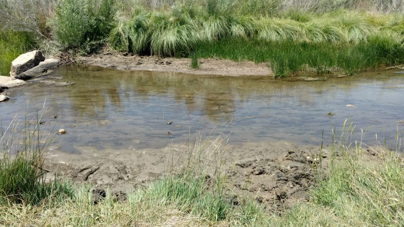
I got up nice and early and left about 5:45, hoping to get to Kennedy Meadows in time for lunch.  The first three hours were through burned out forest which were not pretty, but a cool breeze kept it nice hiking.  There were a total of three Rivers to cross today.  The first one was just puddles, but the second one was an actual river.  I found several places deep enough to swim, but I only washed my face and back and let my clothes dry out a short while while I snacked.  I think I spent about 45 minutes there.

Taking a break for a drink and a snack.

Leaving the river, the trail started to climb and even though there were a few trees, it was extremely hot.  I’m guessing close to 100.  I’m glad I had restocked on water because I drank nearly all of it on the last five miles to the trailhead.  The town and store is actually a mile off trail, so I had to add a 20 min roadwalk to the endeavor.

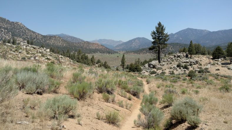
The last few miles into Kennedy Meadows actually do turn into meadows.

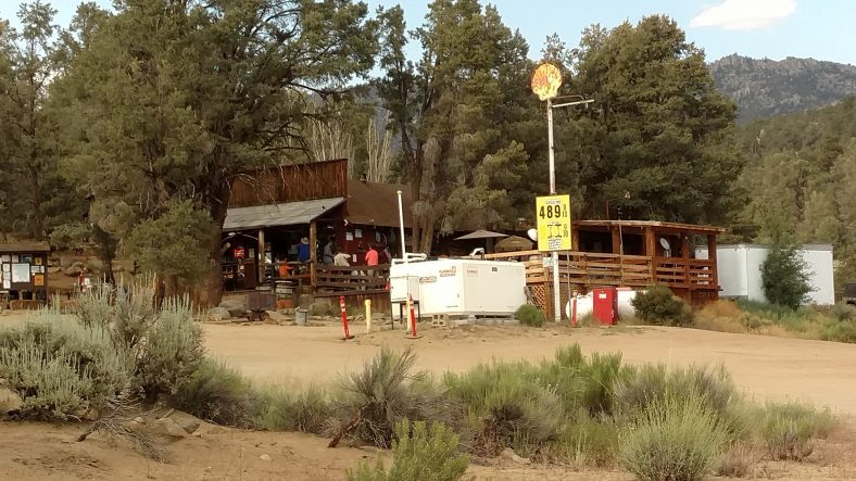
Kennedy Meadows at last! You are looking at the entire town.

Once I got there, I dropped my pack, rested ten minutes chatting with other hikers, then straight into the store for a Gatorade and a pint of Ben and Jerry’s ice cream.  Quite delicious and quite cold.  I let that settle an hour, then it was off to the grill for a hamburger and a beer.

I took a hot shower, changed into the town clothes then did laundry.  I like showers, but laundry is divine.  My shirt gets so stiff with sweat that it could stand up by itself.  And each laundering sees it getting less and less white.  I doubt it will ever be clean again.  I am certain thus shirt will see a trash can before the end of the hike.  One pair of socks and one pair of shoes already have.

I bought some hot dogs and a few breakfast things before the store closed.  The store is open 9 to 5 but the grill only 11 to 4.  There is a restaurant down the road with all you can eat breakfast pancakes that will shuttle hikers to and from the store, so I might hit that in the morning.  I bought hot dogs at the store and found half a jar of marinara and angel hair pasta so it was spaghetti and hot dogs for dinner.  It was better than it sounds.

Another milestone – 700 miles completed!

This is the last stop before the Sierra mountain range, so I had a resupply box waiting for me that had my bear canister already packed with 7 days of food, my down jacket, and microspikes for my shoes for the snow ahead.  All food from 20 miles ahead for the next 200 miles is required to be carried and stored in an approved bear canister.  It adds 2 lbs to the weight of my pack, but it’s required.  The spikes and jacket weigh a little over 1 lb, and I’m getting rid of two water bottles, so it evens out in the worst case (carrying 6 liters or more of water).  Most of the time from now on I will only need to carry 2 liters, but I’ll be ready for 4 with capability for 3 more in the bladder.  [Post hike:  You really only need one liter in the Sierras to carry water up the long climbs of the passes and to have for camping, but it helps to filter 2 liters at a time so you only have to stop for water half as much.  A sawyer squeeze has a big advantage here, as you can just scoop it up and filter it as you drink it.]

I am planning on making tomorrow a nearo, and hiking out from town about 5 o’clock so I don’t get sucked into the Kennedy vortex too long.  Hopefully I can get some good sleep finally, then I will be rested for the Sierras.

On a side note, the cell reception is horrible for the next 200 miles so don’t be surprised if it takes up to two weeks for the blog posts to come rolling in again.  For that matter, I hope I’m able to get this post out soon so two weeks don’t pass by before this one gets out.  [Post hike:  It was close to 10 days without sending updates, the last one being the fire notification, so the live readers were a bit freaked out after a week with no updates.  I had gone two days without updates to this point and had over a week to get to Red’s Meadow where I could get into Mammoth Lakes – the first real town at the north end of the Sierras.]
PCT mm 687.2 – Green at last

image

I think today may have finally put the desert behind me.  There have been lots of trees since the climb out of walkers pass yesterday and today I passed three actual streams.  I got water from the first one, got water and took siesta at the second one, and motored on past the third one.  There are more actual oak trees now, too, and not just pines.  I saw many birds and several squirrels today.  I don’t think squirrels live in the desert.

I slept in a little and got going about six.  I cowboy camped again last night so it was a quick breakfast and getaway.  The trail had a significant amount of trees and decent shade so I used the poles all morning to my first water stop in about five miles.  Water was 100 yds up from the trail and flowing well.  I ate a snack and cameled up for the next stretch of about twelve miles to the next water and my siesta point.

Actual oak trees lined the trail for long stretches.

It started getting quite warm on this last few miles.  I decided to keep using the poles and not resort to the umbrella to see how it went.  My hands started getting sunburned so I stopped to put sunscreen on them.  I have so much covered up that I haven’t used sunscreen in over a week.  When I’m holding the umbrella my hands are shaded, so this was a first.

I did not get to the siesta stream until 1:45.  First order of business was to get the water filter going, then get set up under shade.  I found a great thick and wide pine tree that would shade me for hours without moving.  I drank a little, then immediately took a quick nap.  After an hour I cooked lunch and drank some more, then napped again.  I like napping.

I left siesta at 5 and decided to try to get to the top of the next climb as my stopping point.  There were 22 miles to Kennedy Meadows and I wanted to knock out five to seven of those tonight.  As luck would have it, the top of the climb had some good flat spaces for camping and I got there about 8, so it was a perfect stop.  This was a burn area, and there were some cut trees to sit on while cooking dinner.  I ate dinner first, hung the food, then set up cowboy camp.  I saw at least one desert rat, so let’s see how this goes.

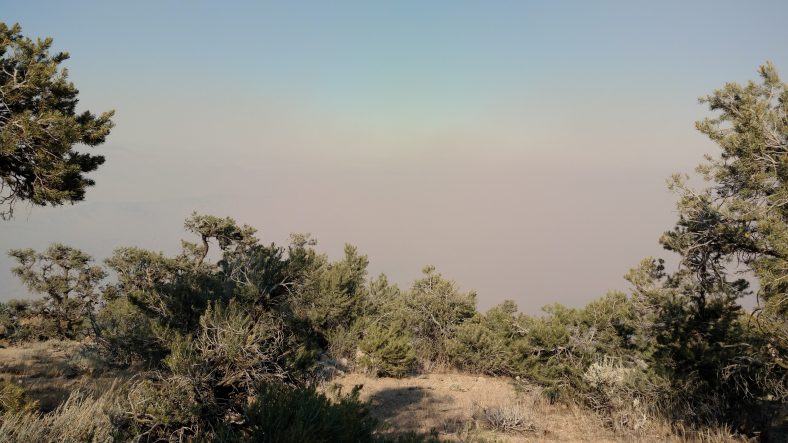
I am quite far away from the smoke now.

Tomorrow is about 15 miles downhill into Kennedy Meadows where I should be able to get a shower, laundry, and possibly some real food.  If it’s nice enough, I might take a full day off Monday to rest.  Kennedy Meadows is where my bear canister and snow equipment is waiting for me.  The next 200 miles are at higher altitudes and will be considerably colder and have significant amounts of snow.  I think I climb to 10,000 ft in the first 25 miles.  I am camped right now at 8000 ft, which has been the usual highest so far except for two or three jaunts to 9000 ft.  I also should be able to discard two of my water bottles since I should not have to carry water further than 10-15 miles from here on out.  The weight I will save in less water will be offset by the bear canister, down jacket, and microspikes.

I’m not lost or dead, just in the backwoods

I know its been a long time since the last post.  Everything is perfectly fine.  I have entered the High Sierra and there is literally no Cell coverage for over 200 miles.  I was supposed t get WIFI in Kennedy Meadows, but it was down, so I ventured ahead as scheduled.  I am currently in Vermillion Valley Resort using a Satellite computer.  I should have full access in two more days when I get to Mammoth Lakes.

Talk to you all soon!

PCT mm 664.4 – Away from the fire

image

Smoke still fills the next valley to the south of me.


I did not sleep well last night for waking up to look for smoke.  It’s hard to sleep when you know a wildfire is so close.  From about 11 to 2 am the smoke was very thick and had that “doused fire” smell.  I knew they were actively working the fire but had no idea if it was under or out of control.

Either way, I tried to sleep in a little, but I probably got less that four hours of sleep.  I got moving about six o’clock and made the campground by the highway by 9:30.  There was plenty of water there so I did not have to trek to the spring.  Most of the crew I was with yesterday made it all the way here last night and hitched into town.  I had taken enough food to skip this town and go all the way to Kennedy Meadows, so after cameling up and a snack, I set off to hike up out of Walker pass.  It was more desert terrain and a 2000 ft climb.  The wind was not strong, so it was a hot climb up.  I stopped twice for water.

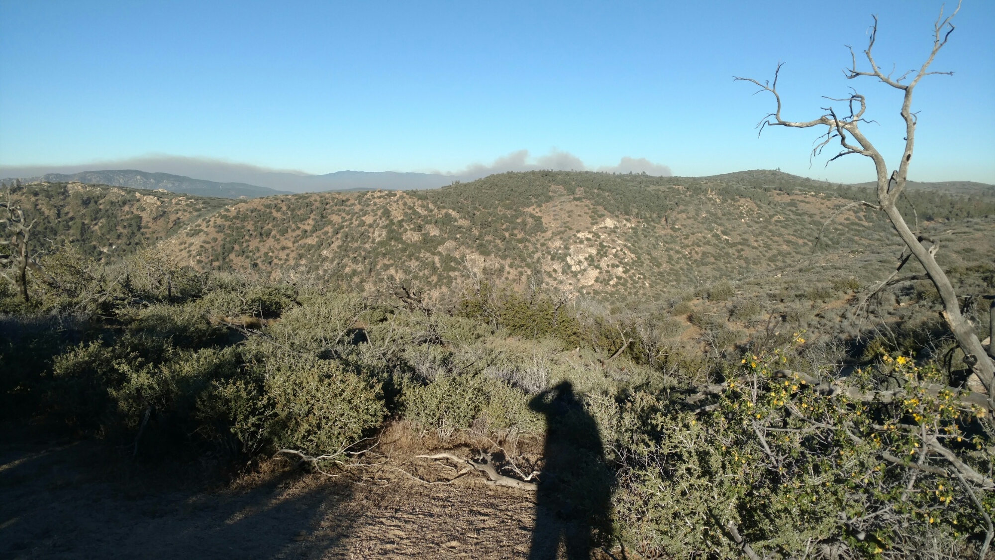
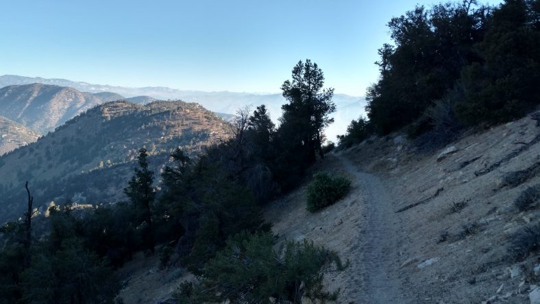
There is still smoke in several of the valleys, but I am away from it now.

Once at the top, I had my pick of campsites over the next few miles.  I wanted to go another mile or two since it was barely after 12 and the breeze had picked up a bit to keep things cool.  As I sat to drink water, I noticed I was almost dozing off.  It was time to find the next shade tree to stop.  There was one a mile away that I was headed for, but only a quarter mile further I found a suitable one.  I didn’t bother to cook, I just laid out my mat and tried to sleep.  The usual sun movement had me waking up every 30 or 45 minutes, so it was not a peaceful nap.  I ended up cooking rice and heading out at 5.  It started out hot, but a breeze finally kicked in and cooled things off.

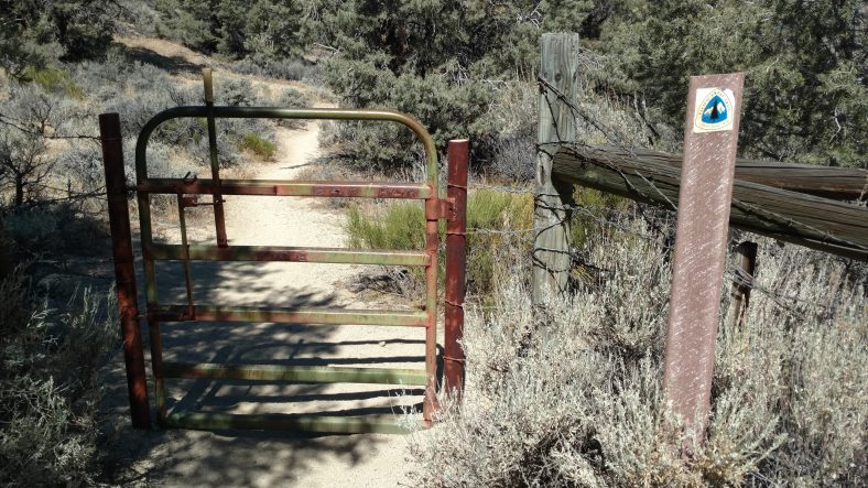
This gate has a complicated latching mechanism. Fancy for the backwoods.

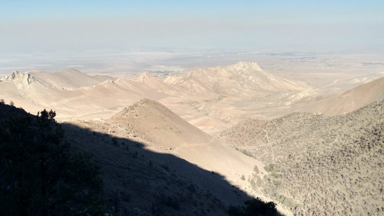
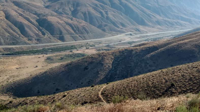
The terrain to the east is nothing but barren desert.

A few hours later I passed two hikers who had made camp for the night.  Apparently the fire just got the attention of the PCTA and they just issued a closure order from Tehachapi to Walker pass.  The last four days of my hike were now closed and I am about to get overrun with hikers skipping ahead.  Oh well.

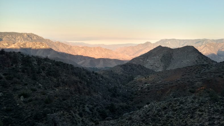
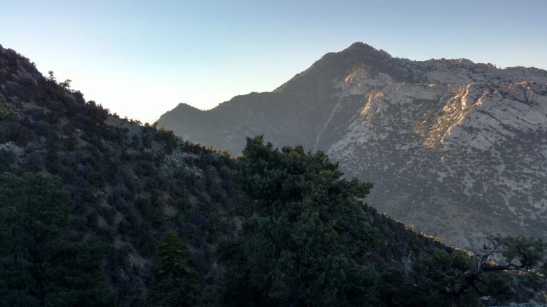
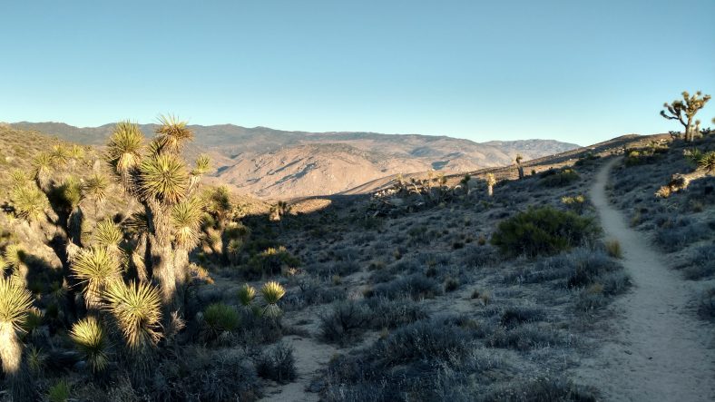
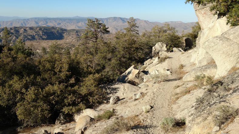
When the sun gets lower, the vistas get better.

It turns out this fire is a pretty bad one.  It has grown to nearly 20,000 acres, and they have six planes and seven choppers working it.  It has already taken 100 structures and 150 more are in danger.

PCT mm 643.7 – Wildfire!

image

A wildfire started in the afternoon during my siesta and I was unsure which direction to head to escape it.


Today was a little different.  It started the same as most of the others.  A pre dawn wakeup, followed by a quick and cold breakfast, and then go hike.  I liked my little one person spot on the side of the mountain last night.  About a half mile up the trail I ran across Breadstick who was packing up and he asked where I camped, I described it and he said he almost stopped there.  Lucky me he didn’t.

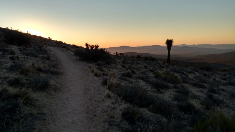
Views like this are why I hike in the early morning before sunrise.

It was eight or so miles to the water cache.  It was quite breezy so I was using my trekking poles and not the umbrella.  But it was starting to warm up by the time we hit the cache.  It was also less breezy.

Early morning hiking is still cool and shady as the mountains block the sun until mid morning.

The water cache was awesome.  The caretaker was actually there restocking it when I arrived so I got a chance to talk to him.  He had over 100 gallons of water there, a box full of snacks like peanut butter, tortillas, pop tarts, granola bars.  He also had a solar charger, batteries, charging cables, duct tape, all sorts of things to borrow.  He had little signs all over the place explaining everything.  Quite the spread.  It’s 21 miles to next water and I planned to camp, so I needed to head out with six liters.  Water sure is heavy.  I look forward to the territory where I only need to carry two.

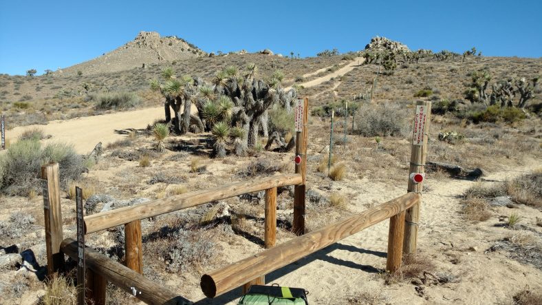
An unusual style in areas where motorcycles are a common problem.

I hiked three or four miles to my siesta point.  I found nice short trees thinking I’d have to move less as the sun moved, but that was not the case.  I ended up moving three times.  I was able to doze off in small spells, though.  I have not been getting enough sleep racing across the desert.

Another day in paradise. Hot paradise.

About 4:30 I awoke to the smell of smoke.  That’s never a good sign in southern California.  I packed quickly and got moving so I could get to a high point and see where the smoke was coming from.  I did not like what I saw.  Smoke was everywhere and getting quite thick.  The wind was blowing 25-30 mph and the smoke was spreading to every canyon.  It seemed to be a little thicker from where I came, so I decided to move forward.

I awoke to thick smoke in every direction.

After about an hour, the smoke was still getting thicker with no clear indication of the source.  I could see a cell tower so I tried the phone and was able to get data.  I looked up the incident page on the forest service website and found the fire that was near me.  It was just south of lake Isabella to the southwest and I was hiking northeast so that was a good move to keep going forward.  At 6 PM it was a 1500 acre fire and they were going to be evacuating residences.

I hiked another few hours and the smoke seemed to clear in the immediate area, but in the distance everything was still thick.

A recheck of the incident page said that the fire had grown to 2500 acres and they had started to post some pictures.  They also closed part of the highway and evacuated four or five towns on that road.  That’s the road at Walker pass, my next destination.  The towns to the left of the pass are all affected, but the towns to the east are still open.  It looks like I have gone far enough North that I am no longer in one of the canyons downwind of the fire.

I decided to make camp as planned, about eight or nine miles from the next water and the highway. As I was cooking dinner, another hiker arrived and started asking about the fire.  She was also awakened from her siesta by the smoke only a few hundred yards from where I was.

During dinner, we noticed that we can actually see a red glow in the direction of the fire.  They are actively dumping water on it and each time they do, it makes a huge smoke and steam plume that reflects the glow of the fire.  It’s kind of creepy and kind of cool at the same time.  I know the fire is twenty miles away, but it looks like it is only two miles away.  If I had not read the incident report and only saw the glow, I would be heading on to get out of here, but I need the sleep badly.  I can see it from my tent so I will be keeping an eye on it all night long.

PCT mm 621.0 – Trees go bye bye

image

I knew I should not have gotten so excited about the trees yesterday and today.  They end tomorrow.  I woke up fairly early and got going at 5:45 with only six miles or so to the spring.  I only ate one bagel and intended to eat the other while loading up on water at the spring.  I never did eat the second one.

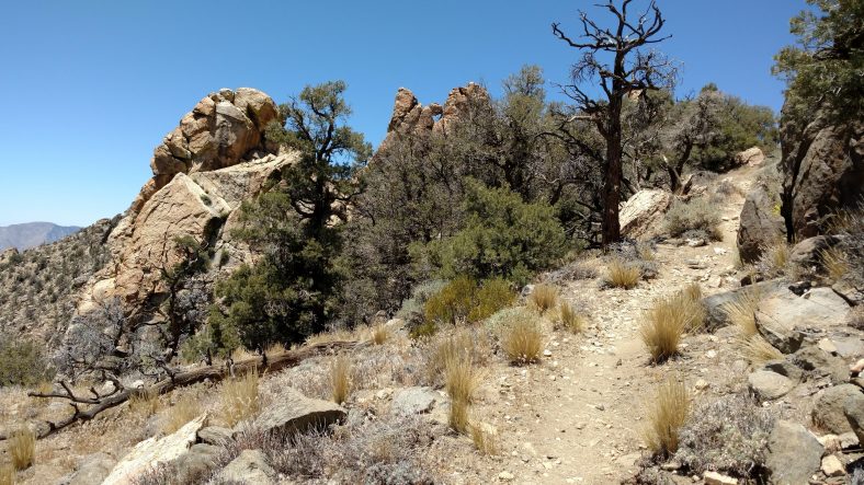
There is always a great view on the PCT.

Another milestone today as I passed the 600 mile point.

The spring was nice.  It had a very good flow of about 4 liters per minute.  I only had seven miles to the next water, so I did no need very much.  I think I took 3 liters.  Over the last four days or so, I had not seen a single hiker.  Not today.  I think I saw eight new hikers and one repeat from a few days ago.

The hike through both springs was nice.  Mostly shaded by large ponderosa pines and a few oaks here and there.  When I got to the second spring, I was amazed.  It had a pipe flowing well over twenty liters per minute.  And it was ice cold.  It drained into a split barrel trough.  I think during the noon to five siesta, I drank four liters just right then and there.  And there was lots of shade via tall ponderosa pines.  The problem with tall trees, though, is that their shade moves on the around quite quickly so I had to move around a lot.

I ate and snacked on anything I could get my hands onto.  Day two of summer sausage and cheddar pitas.  I don’t have alot of variety of food on this stretch, so it’s getting a little boring.

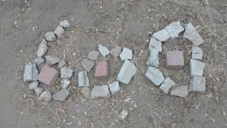
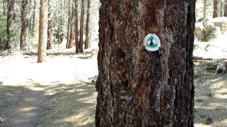
Markers like these line the PCT every five miles or so.

Most of the folks headed out around fiveish, me included.  It was a little warm when I left at 5:30 but the umbrella helped.  Not a mile past the spring, we went through a burn area, so there were very few trees.  And as we descended off the mountain to the next pass it turned to desert again.  Boooo.

Just before dark, we hit a water cache at a road and two thirds of the crew congregated there again.  I had developed a headache after leaving the spring.  I am certain it was not dehydration and suspected it was MSG.  I dug out the label of the local brand of nacho chips (Tacquis) I had finished off at lunch and sure enough, MSG was about the tenth ingredient.

I was not feeling very gung ho with the headache and not energized.  I saw another hiker making coffee and thought I might give that a try since I had been carrying coffee since Mexico and had not made any yet.  One Bustello pouch in a cup of water with a teaspoon of honey and that did the trick.  Tasted good and gave me a little more motivation to keep going now that it was full darkness.

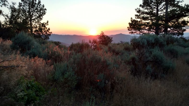
Never a shortage of sunsets on the PCT.

I hiked until about 11:15 PM so that I could be a perfect striking distance to an area that the Guthooks app’s pictures showed had trees and shade.  I found a nice little level spot under a pinion pine that was big enuf for me but not big enuf for the tent.  So I laid out the tyvek tarp and the pad and sleeping bag and slept right under the stars.  I hung all the food bags in the trees and slept really well all night.  My first night on this trip cowboy camping and I liked it.  There might be more of that coming….

PCT mm 597.6 – The desert is waning

image

Yes, I walked through more wind farms today, but hallelujah there are trees.  I woke up very early as planned and headed out just before 5 am.  I was able to sit on a rock outside my tent to eat my cold everything bagel with cream cheese.  These bagels are not nearly as good as the oat ones I got in Agua Dulce last resupply.  I also discovered that the coconut oil leaked again and doused nearly everything in the bag.  I guess coconut oil is just not meant for hiking unless you have a really good container to keep it in.

The first eight miles to the spring went pretty quickly.  It took an hour to fill six bottles and eat my other bagel.  Next water is twenty miles and I doubt I have a 28 in me today.  I’ll probably camp a few miles short and make a morning spring run like today.  Both people and animals frequent Springs, so I tend to shy away from camping near them when possible.

The morning before and after the spring consisted of wind farm after wind farm again, but smaller than the ones of the previous few days.  At one break I counted 56 turbines in one field and 10 of them were not working.  A failure rate of almost 20% seems high to me.

It started getting warm around noon and the campsite I was going for that said it had great shade was still two hours away.  About 1:30 I finally found something suitable and stopped early.  I did not get too hot, but I got hotter than I wanted to and went through more water than I wanted to.  I added some electrolytes to a liter just to make sure.  I ate and napped there until 5:30 and then headed out again.  When I got to the campsite I was headed for, it did have better shade and more shade from oaks instead of pines.  Every time I nap under a pine, something gets sap on it.  This time it was my pants and a tiny bit on my shirt.

I had charged my phone last night from the battery and had the battery charging on the pack while I walked.  I don’t think it charged much while walking, but during siesta, I set it out in the sun and it fully charged the battery, so I think I might have a workable system for the remote areas now.

When I set out again, I was tired and sluggish.  I was using the umbrella, but it wasn’t so hot that I felt in really needed it, so I put the umbrella away and got out the poles.  I must admit that my pace seems to pick up a bit when using the poles.  I think I will start using them in the mornings and evenings when I don’t need the umbrella.  I tried the umbrella and one pole thing this morning and I didn’t like it.  I think it’s one or the other.

I only have 4.5 miles to go to the spring, but I got tired and it was after 7:30 so I stopped to camp at a gap which is quite windy.  I hope the wind dies down a little so I can get some good sleep.  I can tell I did not get enough last night.  You need plenty of food and sleep to hike well.  I’ll try stopping early and not starting so early tomorrow to see if that gives me more energy.  I’ll also try to take my siesta a little earlier, too.

PCT mm 575.1 – A day of driving

image

Today was an inverted nearo.  I rented a car at 8 am and drove all day, returned the car, and got dropped off at the trail at 5 PM, but sat in the shade of a gully wall for an hour before I took off.  It was a scorcher today.

I had two errands to run with the car, look for my glasses and go to REI in Rancho Cucamonga.  Luckily they were both in the same direction.  I decided to take the route out of town that hugged the mountains but was still in the desert.  It went through small towns all along the way, but first stop was Mojave.  This is the town where Dick and Burt Rutan built all sorts of crazy airplanes like Spaceship One and the only plane to fly around the world without refueling.  The guy who gave me a ride into town yesterday worked there.  Passing through Mojave at 9am it was already 102 degrees.  Palmdale was the other notable town the rout went through which was also a big aircraft town, but not much to see just driving through it.

Driving back to Cajon pass to look for my sunglasses.

Once I got near Cajon pass, I found the canyon road pretty easily.  The way point I had marked from Google maps apparently has an old route for the PCT because it had me about two miles from where I needed to be.  I whipped out one of my hiking apps and quickly found the right spot.  The temperature was 102, but with the umbrella it was not too bad.

Everything was as I remembered it.  If I was lucky, I would only have to hike one mile to my first resting spot.

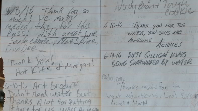
I got there in twenty minutes and searched for ten.  No glasses.  I then came back to the water cache and looked high and low.  No glasses.  I then decided to hike a half mile in the other indirection to where there was a trail register.  No glasses.  After an hour and a half in the desert, still no glasses.  It must have been the second spot that I went back and checked the night I lost them but for some reason could not find them.  Or perhaps someone did pick them up.  I took pictures of the register at the water cache just for my records.

I have embraced the “Dirty” but still clinging onto the full “Gilligan” at this point.

Back in the car and off to Rancho Chupacabra.  I found the REI quickly, but was hungry so I went to eat at a Pacific island grocery that had a deli.  I ate some sort of rice noodles.  This is the third dining faux pas.  First beans and Mac n cheese, now fancy ramen.  It was better than grocery store ramen.

On to REI.  First up pants.  My pants are getting loose and have an adjuster but it slips and I wanted to see how the next size down fit.  Too tight.  Next up – ice axe.  I checked my size and it looks like 55 or 60 will do for me.  But I just couldn’t pull the trigger on $100 I might need only once.  I decided to forgo the axe and get poles instead.  They had an REI branded folding carbon poles half price.  Deal.  Last up – solar charger.  I’m about to get into more remote areas and the phone eats about 20% per day even on airplane mode and the battery backup has worked once, but one time was already out of juice.  I think k it’s worth the piece of mind to charge the phone from the battery each night and charge the battery from solar power each day.  Done.  When I get back to the car, it’s already 116 degrees.  Sheesh, I need to get back to the mountains.

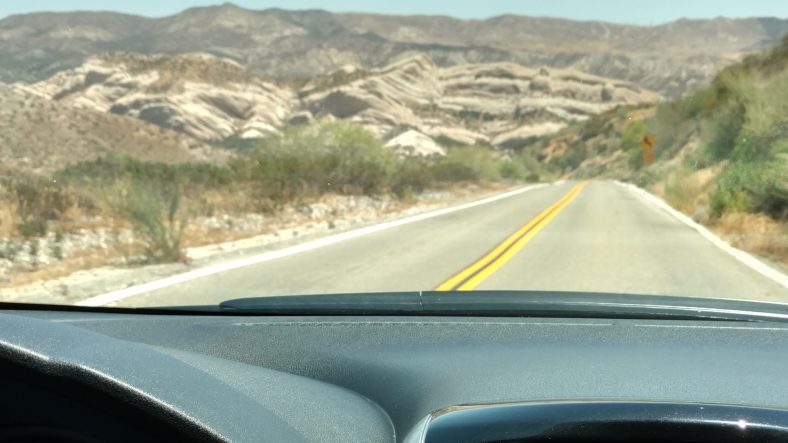
On the drive back, I decide to take the bigger roads that go through the middle of the Mojave desert to see what’s there.  Nothing is there, not even passing zones.  Playing dodgeball with trucks is not fun.  The poor little Nissan versa can hardly keep the car cool even with the AC on full blast.  It’s hot, like 115 hot.

I get back to town at 3:30, so that gives me thirty minutes to fill up the car with gas, eat, and hit the post office.  I grab a burrito at Del Taco (again with the foods I make on trail), I hit the gas station.  The car was on fumes and still only took 9 gallons.  I made a beeline for the post office and there was quite a line.  It only took 15 mins and then I was off to the rental agency.  I got there at 4:20 and they had time to buzz me out to the trail.

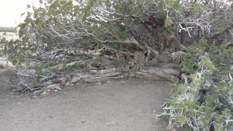
I had 17 miles to next water, so I loaded up with five liters.  It was mostly climbing for six miles to the first good camping.  I ran across an interesting campsite that used dead Joshua tree logs as a windbreak.  These logs end up being like balsa wood, but if you stack enough of them, they do make a good wind break.  I wonder if this counts as an established campsite or not?  I went a little further before making camp for the night.

An improved campsite with a really solid wind break.

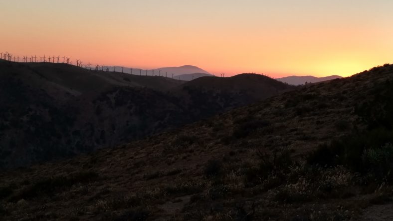
Once it turned dark, the views back towards Mojave were quite impressive.  The silhouette of wind turbines against a reddening sky is a neat experience.  Even though it is hard, the desert is still beautiful.

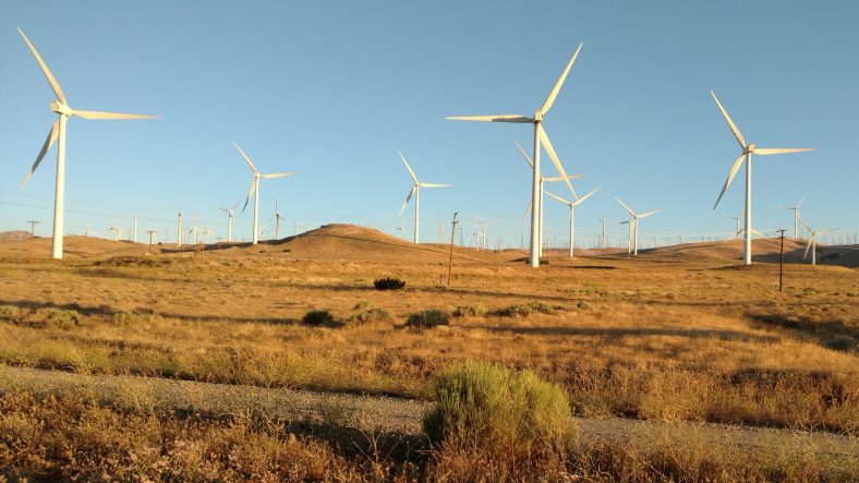
Wind turbines are everywhere between Tehachapi and Mojave.

PCT mm 566.4 – Wind power is clean energy?

image

These large turbines must have significant gearing and generators in them that require quite a bit of lubrication.


A short 8 mile day today just to get to town.  I was out at 5:45 and at the road just after 9:30.  I saw a runner going up as I was going down and there was a truck at the bottom of the mountain, so I was hoping to be able to get a ride to town with him as long as he wasn’t going farther than I thought and take too long to get back to his truck.  I stopped at the road to check the bus schedule and get rocks out of my shoes when he came by.  As luck would have it, I was right and he was going right by where I needed to go so I scored the easiest hitch of the trip so far.

The final mile to the highway between Tehachapi and Mojave.

The entire eight miles was through the major part of the same wind farm as yesterday.  This is the birthplace of wind power.  The display they had was pretty informative.  The current models supply 10mw of power each (might have been 3mw).  There was a whole row of these big GE ones spewing grease out the back of them.  I imagine they have serious gear reduction and need alot of lubrication to keep them from burning up.  Clean energy, huh.  There must have been ten different models of turbines in just this one field.  The older ones looked like toys compared to the modern ones.  This farm started in 1980.

Entering a newer section of one of the oldest wind farms in the world.

The temperatures were pretty warm for that early in the day once I got to the backside of the mountain and the wind died down.

Tomorrow is supposed to be the biggest day of the heat wave so I’m not looking forward to the next week.  This is the last 135 miles of desert before I hit the Sierras at Kennedy pass.

I used my Marriott points to stay at the Fairfield Inn for free tonight (yay points) and spent the afternoon doing errands.  First up was visiting the Big5 sports in town.  I was able to find some nice Saucony shoes on sale for $40 that are pretty comfy.  Had to go with size 13 shoes.  A fresh fuel canister and two pairs of socks and I’m set other than snow gear.  I have microspikes in the box at Kennedy Meadows, but the snow is still deep enough that I will also need either poles or an ice axe to be safe.  Looks like I will have to rent a car tomorrow and hit an REI to get the last goods.  I can also make a trip back to Cajon pass to try to look for my sunglasses.

Now I is time for dinner at the local BBQ joint run by a native American who has teepees out back that he will actually let hikers stay in if they ask nicely.  People rave about it and I imagine it might be the only decent BBQ I will find on the entire trail.  My major mistake was in ordering beans as a side dish.  Beans?  Aren’t I sick of beans yet?  Apparently not.  Something green (green beans) would have been a better choice.

PCT mm 558.2 – Wind power

image

The wind farm south of Tehachapi, CA


I got a little bit of a late start since I don’t intend on going into town until tomorrow.  I am camped out right at a road that leads into town, though, so it would be very easy o change my mind.

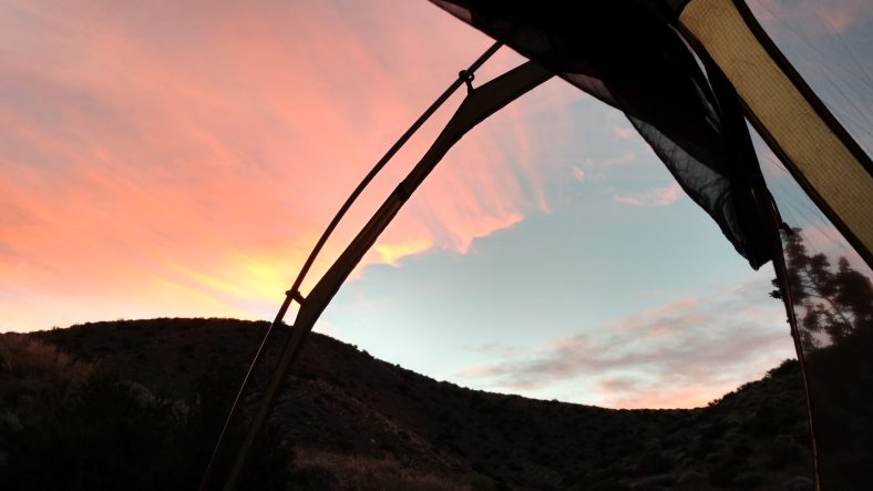
Waking up to a nice sunrise with the sound of city buses on sticks in the mountains. A wind turbine sounds like a city bus when you are this close to them.

I saw a few other hikers pass by as I was packing, which is unusual.  Usually I am the early one passing others.  Two of them were a couple that hiked all night long and were just then stopping to camp for the day.  I don’t mind hiking a few hours into the night, but all night long is just grueling.  My blog entry last night was brief mainly because I was tired and falling asleep while I was writing it.  And I hadn’t even taken a sleep aid or anything.  It was only 11:00.

There was the first stream in a long time just 2 miles after where I camped and I filled up all bottles.  It will be 20 miles and one night of camping before the next water. As I am filling up, however, I hear there might be a water and food cache at a campsite 8 miles or so ahead. Hmmm.  Better not plan on it.

The 8 miles to get to the campsite was a climb out of the canyon with water, over a ridges, then down the next canyon without water then up to the next ridge again.  It was alot of switchbacks and it’s more depressing when you can see them all from the other side of the canyon.  Like any other hike, it goes by pretty quickly if you just plod along.  I was playing leapfrog with three other hikers on that section.

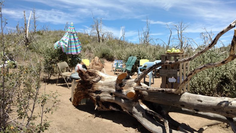
Once we got to the campsite, it was pretty swank.  They had tons of water, apples, oranges, cookies chairs, and an umbrella.

The other hikers were already there, and enjoying the spoils.  I had an apple and an orange and boy was it good.  Oranges rock while hiking.

Food and Water in a former Pinon pine grove destroyed by wildfires a few years ago.

While we were there, some motorcycles came by and they knew they were not supposed to be on the PCT.  They detoured, then minutes later a truck came by asking about them.  Not long afterwards the motorcycles came back and words were exchanged.  They claimed they were lost but never asked how to get out.  Said they had permits but never showed them.  And they tore up the trail pretty good so the next few miles were difficult hiking.  Jackwagons.

I also learned today that the c actus trees I sought shade in yesterday are Joshua trees.  They are very cool.  Part tree, part cactus.

image

I went only a mile further to a patch of pines where I took my siesta.  I was there from about 12:30 to 4:00 just snoozing and eating.  Post siesta, the trail hit a second wind farm.  I thought the one yesterday was big, but this one is easily four times larger.  In fact, there are three turbines directly over the campsite.

Tomorrow is a short 8 miles to the other road into Tehachapi and there is a wind farm exhibit I am actually looking forward to.  I have good signal here, but hear the cell signal at the other road is poor, so I will have to exercise my thumb a bit.  It’s ten miles to town, and I do not want to walk that.