
Looking up towards Forester Pass, the highest point on the PCT at just over 13,000 ft.
What a day today was. Two big passes to cross and lots and lots of snow. It just keeps getting better and better. It was just shy of a 20 mile day today, and every single one of those was earned.
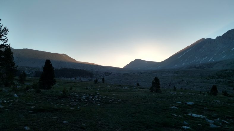
Hello, Mr Sun. So glad to see you today.
I woke up at normal time and was off at 5:45. I had about five miles to Forester pass and about 2200 ft of climbing. I camped at 11000 ft, which I did a few nights ago as well, but for some reason last night I was having a few hours of apnea where I would feel like I was not breathing and take a big gasp of air. It happened off and on all night. It’s annoying when it happens because it makes you wide awake.
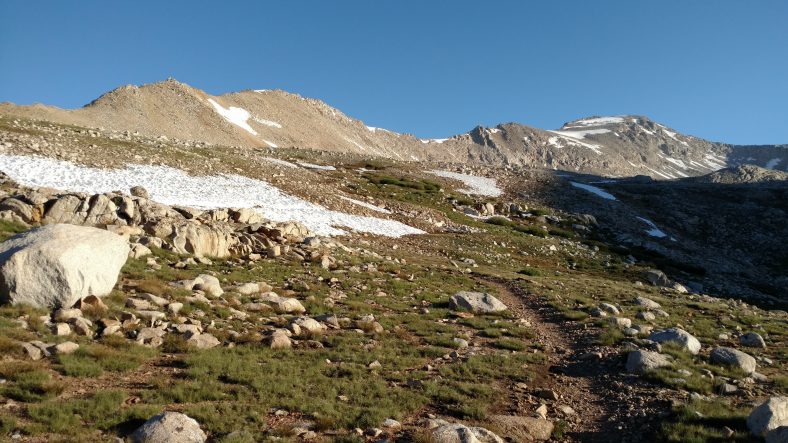
The approach to Forester Pass is an enchanting alpine hike.
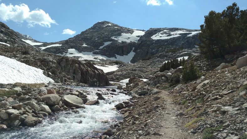
The first half of the climb was a lot more gentle than I thought. There was very little vegetation so the views were outstanding. About half way up it flattens out into an alpine tundra like terrain with rivers of melting snow all over the place. The last mile or so is switchbacks all the way up to the pass. The little snow fleck towards the left of the picture is Forester pass. Yes, I hiked up the side of that cliff to get up there and over the back side. The route switchbacks up the mountain on the right, then crosses the snow field in the chute and crosses the pass from the left.
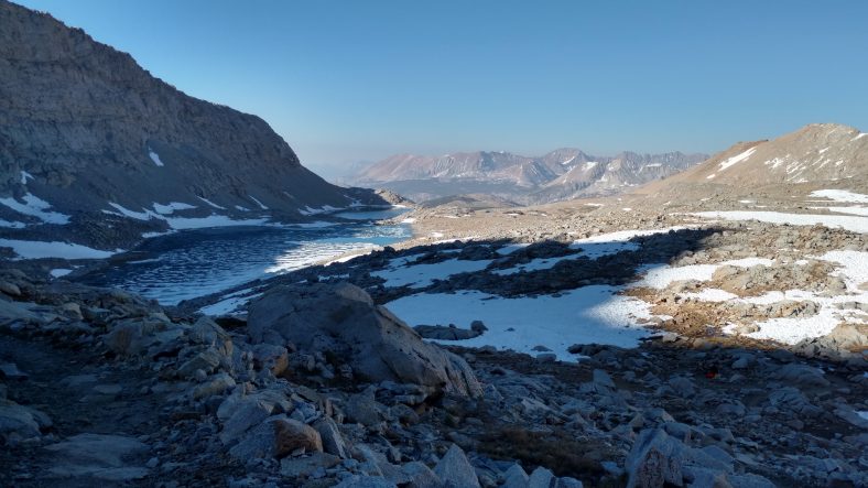
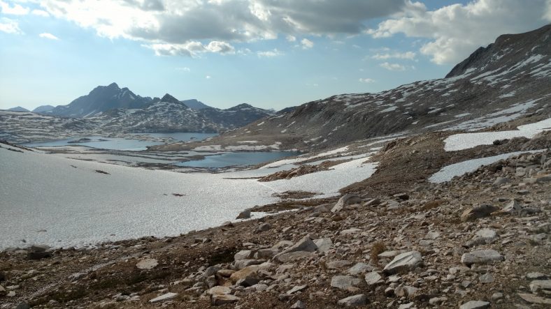
As you ascent up to the pass and look back, you can see just how much snow there really is.
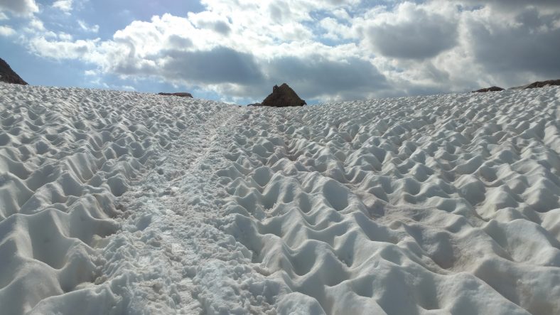
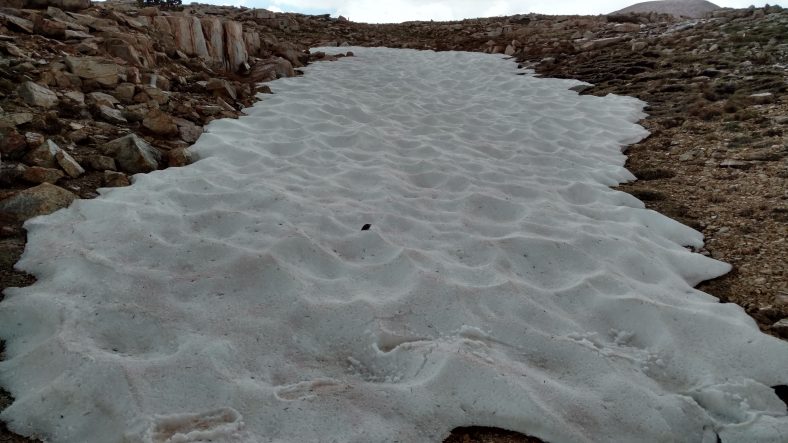
The switchbacks up were not too bad. There was very little snow to contend with until I came to one large drift and it was a little frozen over, so I backed down and put my microspikes on. Microspikes are like flexible crampons. They are chains and rubber and have strategically placed downward facing spikes. They fit well over my shoes and worked flawlessly. Two other hikers passed me while I was putting on the spikes and they did it in bare sneakers. I wasn’t willing to take that chance since it was about 1000 ft down. With the spikes, it was so frozen I was still a little hesitant. Little did I know at the time, but that one snow bank was the one you see in the picture and I was basically at the top already.
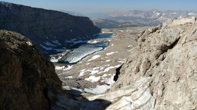
Looking back south from Forester pass over the top of the snow chute I had just crossed.
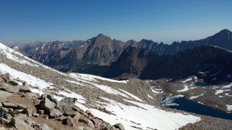
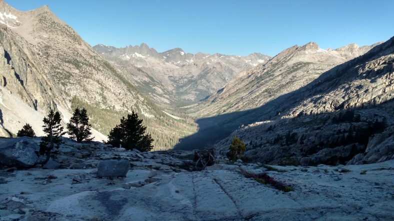
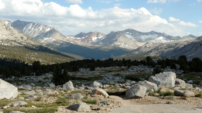
Looking north from Forester pass across the valley I am about to hike through.
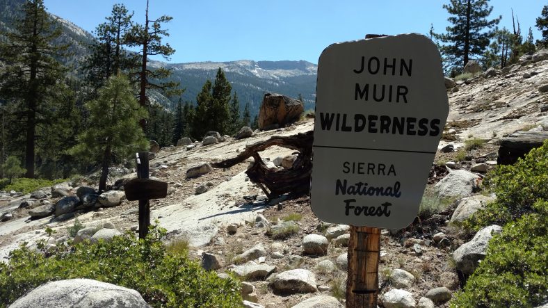
Let me tell you, the view was outstanding in all directions. The other side was Kings Canyon National Park, which is exactly what it sounds like. It’s a huge canyon with huge mountains on either side. And we were about to hike right through the middle of it. There were quite a few people at the top, and being a small gap, it was a bit crowded.
I rested a bit, took in the view, had a snack, and then had a choice to make. There were switchbacks going down the back side, or a huge snow field you could slide down if you so desired. Yes, I desired. I looked for an existing path that looked like it did not have too many rocks, sat on my butt, then slid down the mountain about 100 yds. It was a blast. I never felt out of control, I could slow down when a rock came up, and I could stay on track pretty easily. But boy was it cold. My pants were soaking wet and full of snow.
After the quick glissade down, there were chunks of snow in every orifice of me and the pack. It took half an hour for my pants to dry, but it was worth it.
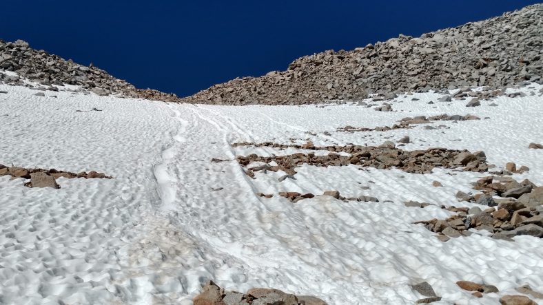
The fastest way down is the glissade on your butt. I took the route on the left.
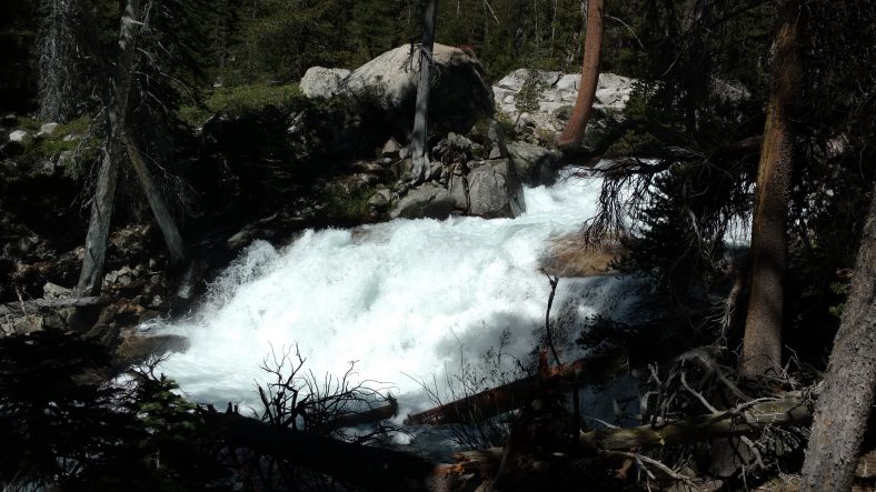
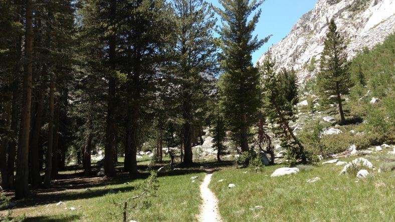
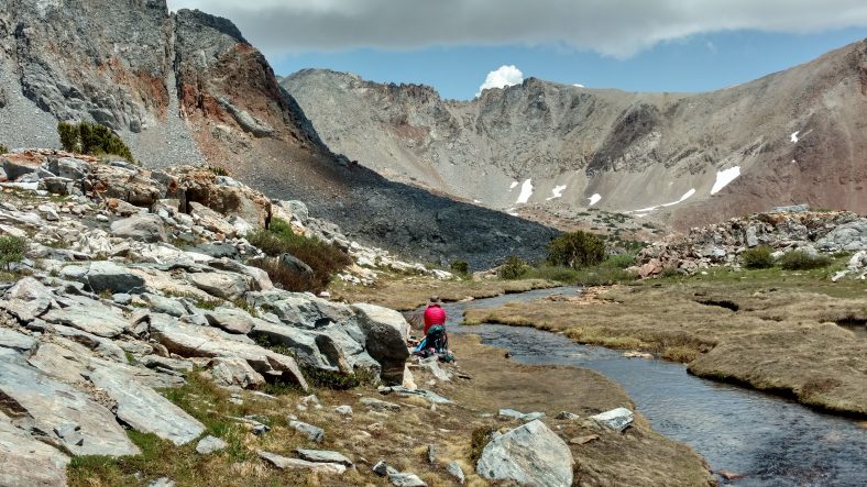
The rest of the hike down the canyon was a bit uneventful. There were snow banks and streams all over the place. The very center of the canyon was heavily treed. I stopped and made lunch early at 11:00 and took a quick break to reload on some water. I made a big lunch because I had another pass, Glen pass, to hit in the afternoon.
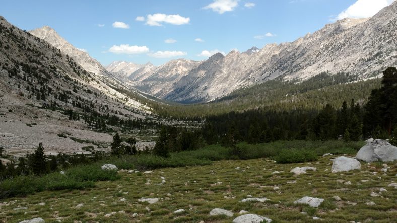
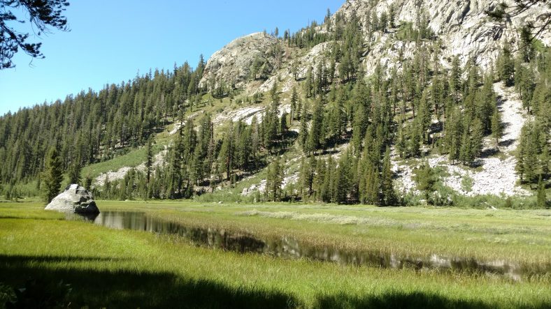
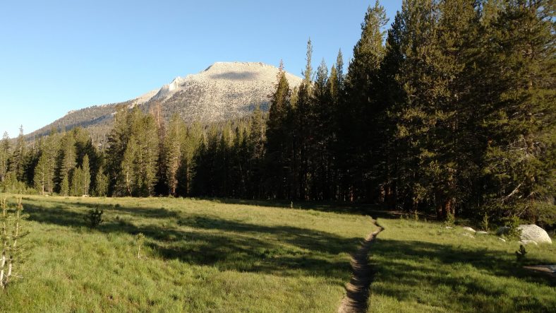
The canyon eventually turned to grass and trees where I found a good place to stop and have lunch.
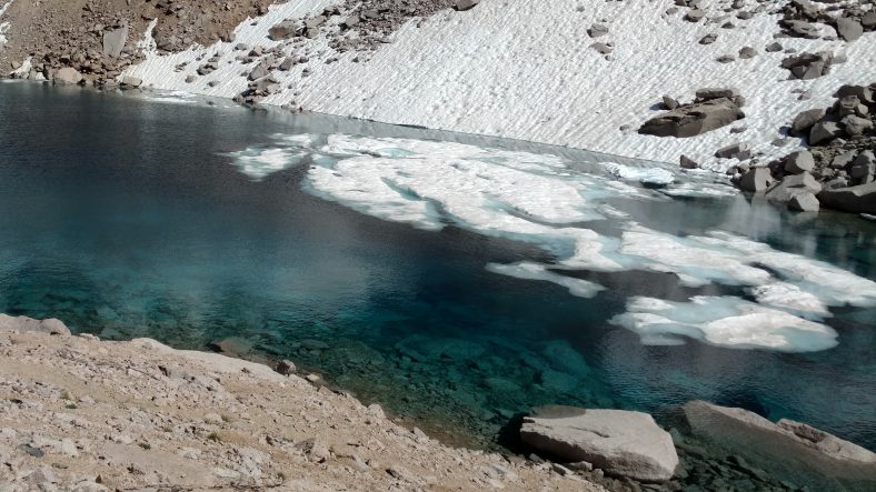
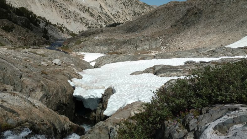
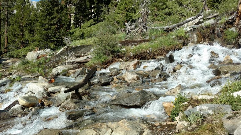
This is why the streams are so cold. Most of the ponds still have snowbergs floating in them.
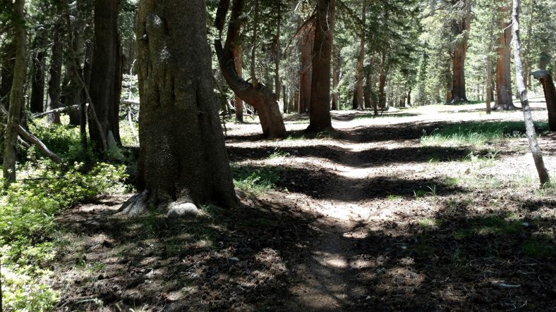
After going along the canyon for about five miles, it was time to get out of the canyon and hit the next one. The climb up was steep and would total about 3000 ft all the way to the pass. In the middle it leveled a little, but once it got above the trees again, it turned to steep switchbacks.
I’m not sure if it was the time of day or the terrain, but Glen pass seemed way more difficult than Forester pass. It seemed longer and steeper. I had to rest a few times on the way up. When I was about 700 ft from the final elevation of the pass, I started to feel a little nausea and a headache that had been brewing since about half way down the canyon began to bug me. I don’t think it was altitude sickness, I think it was MSG again. I ate what was intended to be four servings of soup, and it felt just like the headache I got after the crappy tortilla chips a few weeks ago. In fact, I still have it now.
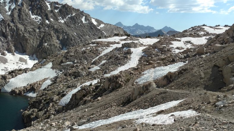
Glen Pass isn’t as well known as Forester Pass, but it’s still a phenomenal place to visit.
I finally made it to the top at 4:45 PM. The view on this pass was not as grand as Forester, but they made up for it by taking us along the knife edge of the ridge line before letting us descend. There were not too many snow banks on the way up, but the way down had huge drifts on steep banks. I decided to put the spikes on before descending, and that was a smart move.
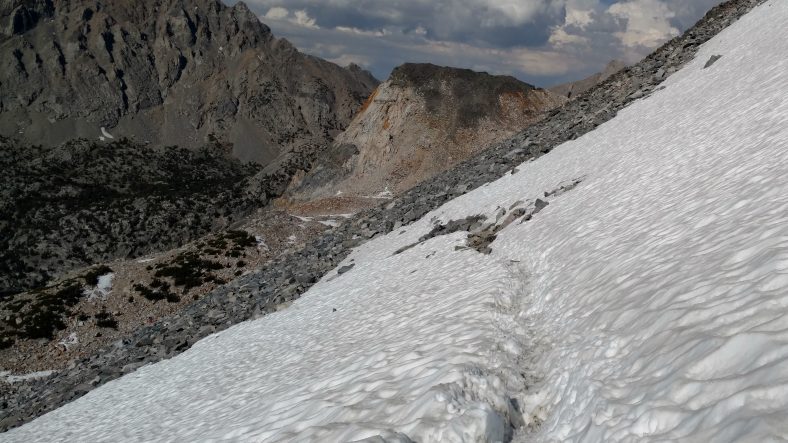
This deep trench in a steep snowfield is easy to cross since there’s no danger if you slip.
The main bank was not scary, it was nearly three feet deep, so you wouldn’t go far if you did slip. But some of the ones further down were so steep that everyone was basically just scrambling along the side of the mountain to avoid the snow. The scrambling looked worse than the snow, so I took to the snow. No one had gone the official route yet, so I got to blaze the snow trail across it. It was a blast. It was not hard at all. Just set your poles (with snow baskets on otherwise they sink straight down to the handles) then jam one foot like a saw into the snow until it holds firm. Reset the poles and repeat with the other foot. I could see the trail underneath because of rocks poking up through the snow. I made sure to keep the snowline uphill from the trail line. I had no problems with postholing (where your foot goes way too deep) but could tell towards the end that there was not solid snow underneath so I did not jam my feet into the snow so aggressively.
One of the people I passed on the way down was a girl wearing sandals. Yes, sandals. Who in their right mind wears sandals on a remote hiking trip where you have to cross snow fields at 11,000 to 13,000 ft?
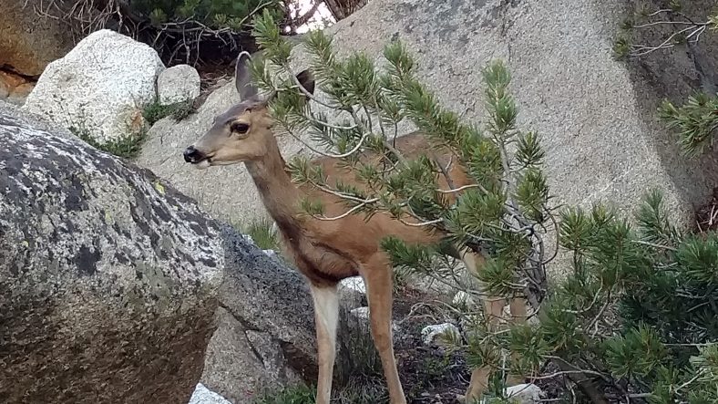
The wildlife here is pretty tame since hunting is not allowed.
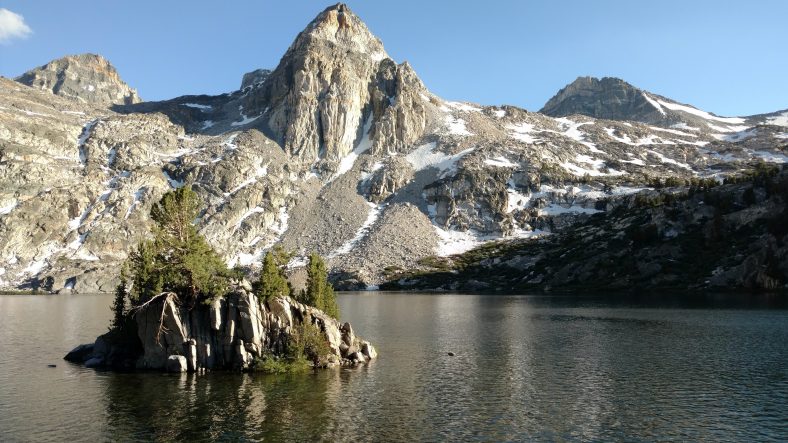
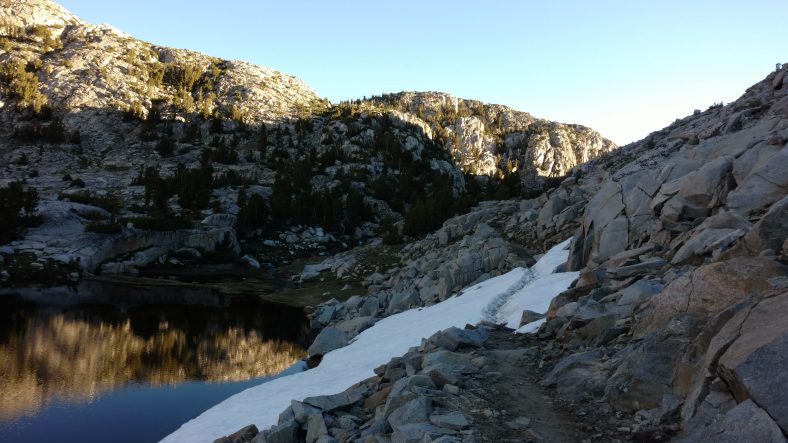
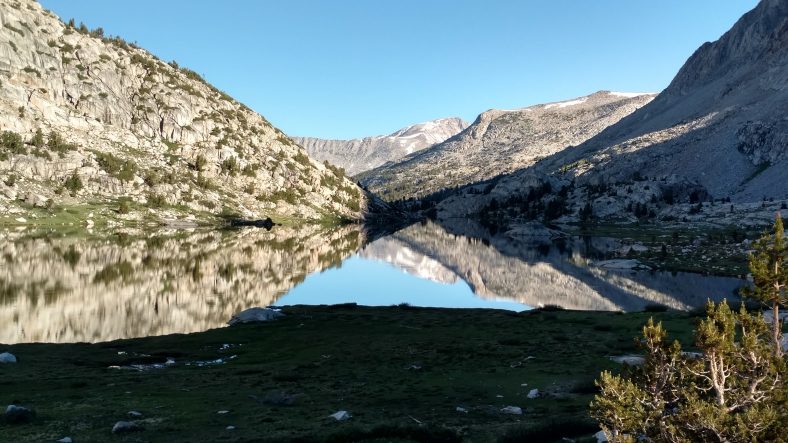
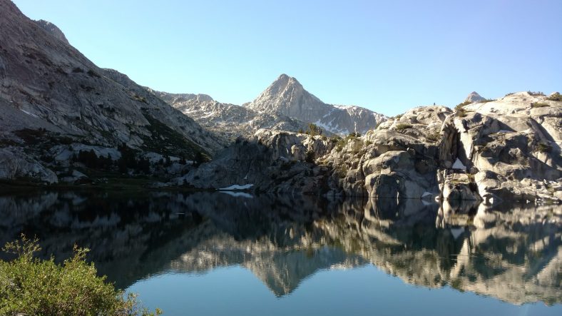
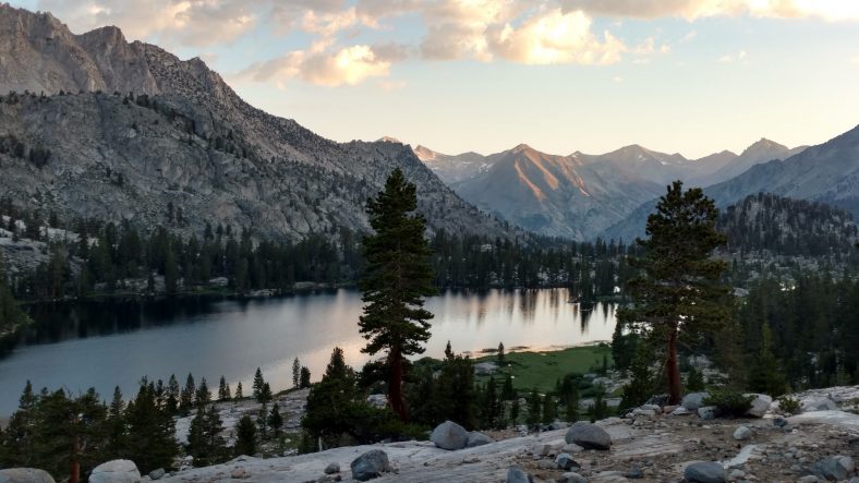
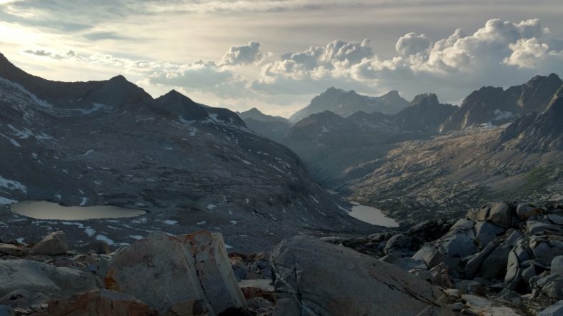
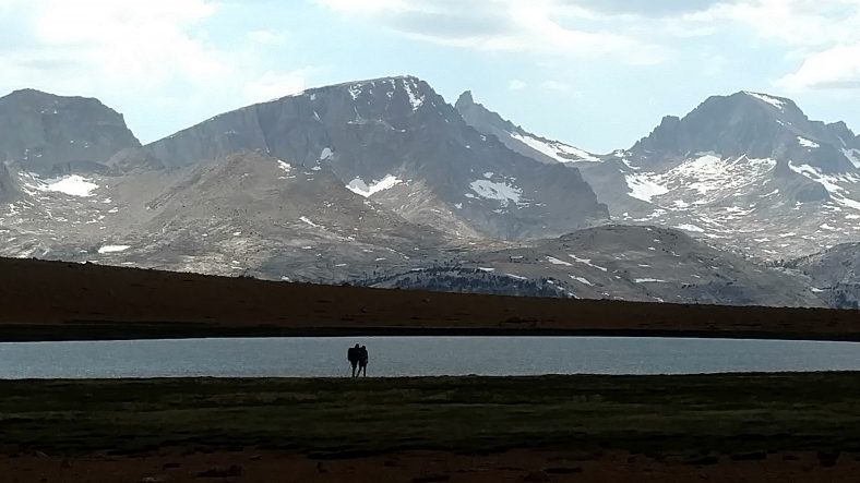
An awesome lake in this canyon looks like a good place to camp.
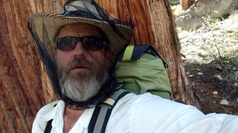
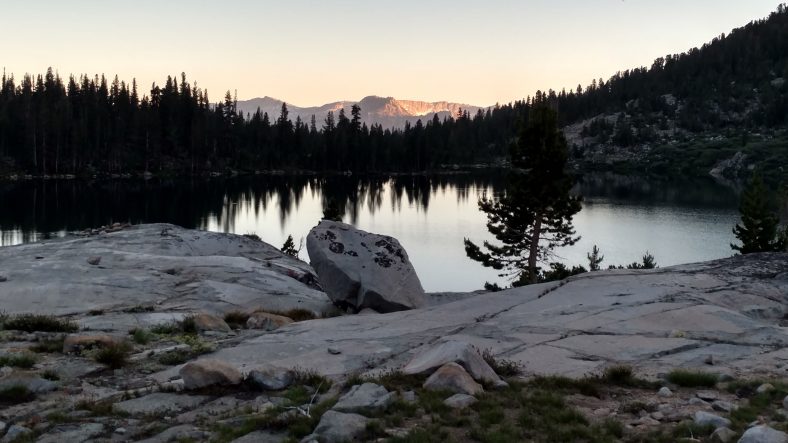
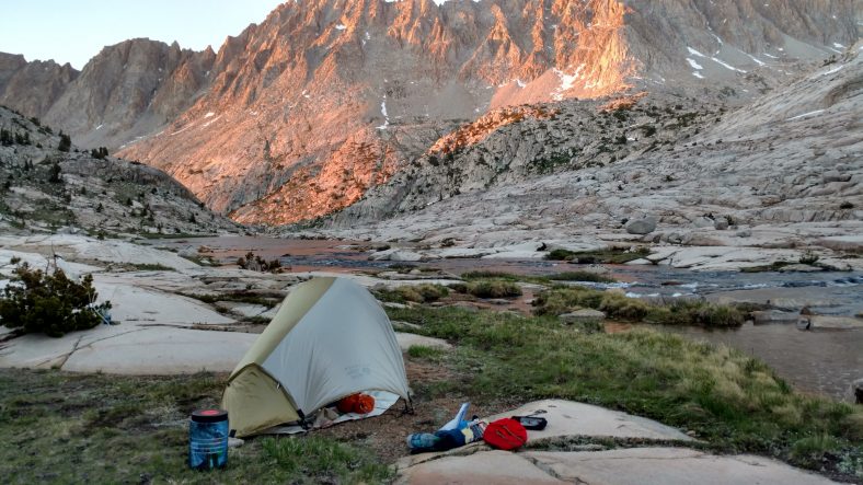
Between all the slushy snow and multiple streams we had to cross, my feet were soaked. I hiked perhaps another five miles down the canyon past several large lakes to a campsite right by one of the lakes. It is infested with mosquitoes as expected, but the tent and headnet work well. But one area the headnet does not work well is while eating. After cooking, I basically had to walk around the campsite while eating just to keep them out of my face. Stop for three seconds and you are swarmed. Life in the deep woods.
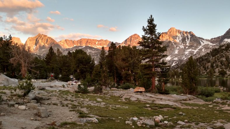
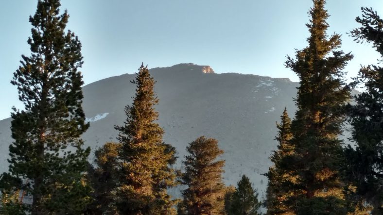
Sunset at the campsite as I get attacked by mosquitoes.





Recent Comments