Category: Pacific Crest Trail

Anything related to the 2650 mile Pacific Crest Trail, stretching from the Mexico border in California to the Canada border in Washington.

PCT mm 285.6 – A turnaround day

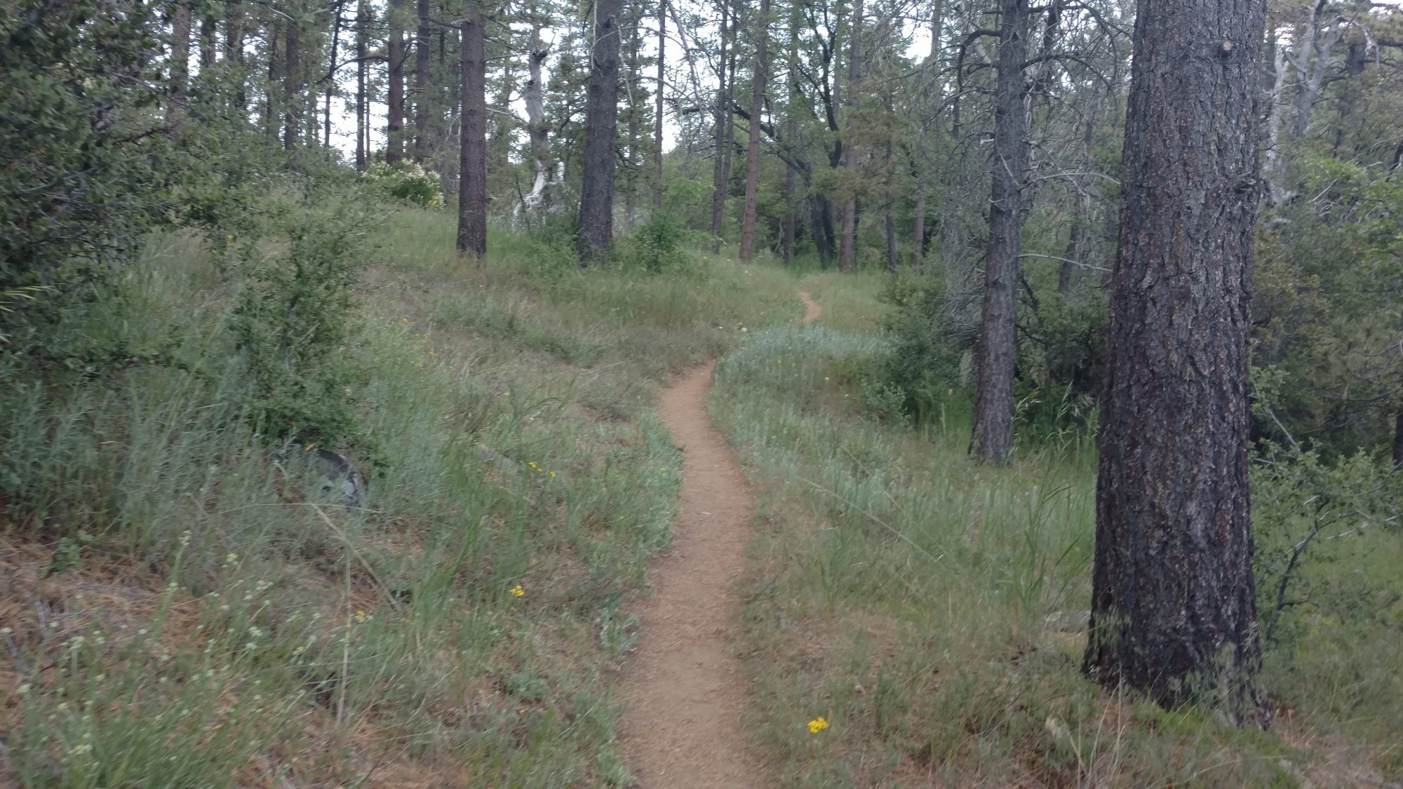
This section of trail leaving Big Bear looks a lot like Pennsylvania.

6-07-2016

A turnaround day, indeed.  We got a very late start, waiting for a shuttle that never happened, then going to the outfitter to buy things they didn’t have, then a late breakfast.  This is one of the reasons it’s easier to hike solo, your least common denominator is just you, not two other people.  We were with another hiker that we had met earlier, and it was apparent that he was in no rush to leave town.

Breakfast finished, we went across the street and waited for the bus that would take us to the other side of town closer to the trail, but then we would have to hitch the last 4 miles to the trail.  The road is narrow and not recommended to walk.

We only had our thumbs out ten minutes before we got a ride to the trail head and finally set off at 12:30.  Late, indeed.

As we were exiting town, the beautiful ponderosa pines gave way to more beach like scrubby trees.  There were small amounts of shade on the trail and it was not terribly hot.  Each mile we hiked improved the situation.  We were climbing the ridge behind Big Bear Lake and the ponderosa pines returned.

Excellent views of Big Bear Lake as the trail climbed and the trees got taller and provided ample shade.

The bulk of the hiking was in pine trees and fairly cool.  I stopped at a small stream that was not flowing, but had pools to gather water.  It was cool and tasty.  I cooked a lunch and set off again at five after the one hour break.  I wanted to head to the next official camp area just before the next water source.  It was an area that had been burned, so all the ponderosa were just sticks.  Darkness started to fall so I switched on the headlamp and kept walking.  I was only a mile or two away.  I could see two headlights camping as I approached the valley floor.  When I got to the campsite I realized the other hikers were camping at the next spring a half mile away.  I decided to camp at the designated spot because it had wood chips all over the place which looked comfy.

This once was a beautiful forest, but now it is black twigs and will be this way for decades.

I quickly set up the tent and set out about eating then made some quick repairs to my shoes.  As we were leaving the hostel this morning, I found a whole tube of shoe goo in the hiker box.  I did not have time to fix them then, but fixed three of the major holes after I ate.  If the weather and shade hold tomorrow, I might actually be able to hike all day long.  But if it gets hot again, it means lots of night hiking is in store.

PCT mm 266.1 – Road walk and bus day


Hot but breezy walking in the canyons.

6-06-2016

The fire closure North of I-10. Made for an interesting day today.  I camped 17 miles from the interstate to have a shot to make all the bus stops.  I awoke at 3:45 and was off at 4:20.  I ran across Robin at about 5 am just after he left his camp about two miles further.  We leapfrogged each other most of the morning.  We both had the same plan, so it’s not odd that we ended up at the same place at the same time.

Even though the trail was almost all downhill, it was harder than we expected with rocks and eroding slopes and it took a long time to get to the valley floor.  And it was hot… Blistering hot.  But very breezy.  I was not able to use my umbrella most of the day because it was too windy.  The entire valley is a giant wind farm.

Another major milestone completed!

Up high in the canyons it is at least breezy. Down on the desert floor, it is soft sand and hot air for miles. I have to hike across that before lunch.

Just as the trail leaves the mountains and enters the desert floor, there is a water spigot provided by the city of Palm Desert water supply.  There’s not much shade, but a quick reapplication of sunscreen and a quick fill of the water bottles and it’s time to head across the desert floor.  We have about three or four miles to I-10, then a 5 mile road walk along a service road to the casino to catch a bus.  There is a famous trail angel hostel, Ziggy and the Bear, that we will miss.  But that doesn’t matter, as we have heard that Ziggy and the Bear closed just a few days ago.  Sigh.

Looking back at the mountains which are the water source for the town of Palm Desert, CA.

A quick shade stop at the I-10 service road before the road walk to the casino.

Only a few cars passed by during the entire road walk since I-10 is just 100 ft to our right the whole time. No one travels this road.

We hit the road walk at about 12:30 and walked over 7 miles into a stiff 40 mph wind until 3:15 when we finally made it to the Indian casino.  We were able to catch the #2 bus to the Walmart at 3:45, but when we got there, our connecting bus was leaving.  We missed it, and it was the last bus of the day heading to the bus terminal.  We were able to grab a quick lunch and get an Uber ride to the connecting terminal and get there 10 minutes before the last bus to Big Bear pulled out.  The ride out reminded me of the bus ride to Campo with its twisty road so I started having flashbacks of the bus breaking down on us.  But we arrived safely and got dropped off one block from the hostel and got checked in quickly.

The hostel owner informed us that the fire closure we just walked and bused around was not closed and has never been closed.  I find that hard to believe, but who knows.

There are three independent sources on the internet, including the forest service saying that it is closed, so better safe than sorry.  [Post hike: I never found a trustworthy answer until my very last day approaching Canada, where one of the hikers I was with told me first hand that he had walked straight through the trail to Big Bear about two weeks before I got there and there was no closure.]

We did not have time for anything other than resupply, as it was nearly 8 PM already and one of the guests had a car and was driving to the grocery so we quickly did that first after a quick stop at the sporting goods store for fuel.  By the time we got back from the grocery it was just past 9 and we had a very hard time finding a restaurant still open, but we finally found one.  It was now after 10 and after showers, we did not get to sleep until 11.

[Post hike:  You will notice the huge 70 mile difference in the trail mileage markers.  The bus from I-10 to Big Bear cut out probably 50 miles of the trail.  This section, the short 3-4 miles outside of Idyllwild, and about a half mile near Hiker Town a few hundred miles further are the only sections to break my continuous hike.  It doesn’t feel good to miss a section.  I don’t mind alternates, as most of the time they were more fun than the official trail.  But I was hoping for a completely unbroken hike to Canada.  It’s frustrating when these fires were five years ago and the trail is still closed and we were not even sure if the trail was truly closed or not.  Fire is a massively destructive force on this part of the country.  The other two sections did not sting because they were so small, but this was a large chunk of trail that I missed and it still leaves a small hole in my heart over a year later.]

We are sleeping in late so we can arrange for a ride to the trailhead around 8 or 9.  It’s 8 miles to the trail from where we are, so I’d rather not start the day with another long road walk.

PCT mm 193.6 – Trees galore

The San Jacinto mountains jump up to 9,000 ft with great views and cool weather.

6-05-2016

I was still tired when I awoke in the morning at 5 but my feet felt a million times better.  I ate the breakfast I bought at the market the night before and took one last shower for a while.  I was out the door at 6:30.

One of the alternate routes around the fire closure left town right in front of the inn.  I took the roads they indicated for just over a mile then took a 2.5 mile trail that led to a parking area and another 2.5 mile trail to the actual PCT.  This parking area was full and swarming with people.  It also had a ranger at the trail head… who wanted to see my permit… which i did not get a chance to print yet.  I tried to show her the PDF, but there was no cell service, so we couldn’t read it from the email.  Then I checked downloads and voila, there it was.  But unfortunately I had only downloaded the cover letter and not the permit itself.  Grrrrr.  She was about to make me go back to town to print or download it when at the last minute I guess she felt sorry for me since it was obvious that I had one, I just couldn’t show it to her.  So instead she made me attend her impromptu leave no trace course right then and there.  Five minutes later I was headed up the mountain… With 50 other hikers… And another 50 coming down.

Honest to goodness trees on honest to goodness rock strewn trails.

These roots could give the AT in Maine a run for their money.

It was quite crowded up there but after about five miles I guess we passed the interesting stuff and the crowd died down.  I had flashbacks of Yosemite and the crowded trails.  The trail was steep, but the breeze was cool.  This was a textbook high mountain trail. and I could feel the effects of the higher altitude.  It did not help that I now had a fully resupplied pack from town.

I probably saw only ten other people the rest of the day.  One person I did see again was Robin, from Switzerland.

We hiked together a little and stopped for lunch and to fill up on water at the last source for the next 20 miles.  I loaded up 5 liters and drank as much as I could before setting out.  I wanted to make about another ten miles so I could be within striking distance of I-10 tomorrow.

I caught up with Robin by lunch time and we hiked the rest of the day together.

The best part of the day it that it was not hot.  I did not even use the umbrella once all day.  There were tons of huge ponderosa pines, too.  We topped out at about 9000 ft and I could tell the air was thinner.  Most of the morning and afternoon was climbing and it felt like I had no juice all day long.  In the late afternoon is was nearly all downhill and fairly easy.  The trees have given way to desert again, but there are still a few trees for shade.

Hikers have placed pine cones in these interesting erosion pockets in this large boulder. It looks like a Christmas display or something.

A wind farm far off into the distance.

Being this high up there was an abundance of cool breezes and plenty of shade to go along with the great views.

We have another fire closure coming up and thus is a big one.  I think we will miss close to sixty miles or trail just because there are no alternative trails in the area.  We will end up having to take buses to get to Big Bear Lake as best we can.  It’s too far to road walk.

I am hoping to make the 17 miles to I-10 in one shot in the morning to avoid the heat.  It’s then a 5 mile road walk to catch the first bus from the Morongo Casino.  I hope I can finish this all before the buses quit running, otherwise it we will be scrambling to find a hotel in Sacramento.  I better get an early pre-dawn start to make sure I have enough time.

A day off in Idyllwild

Tasting a beer at the Idyllwild beer festival.

6-04-2016

I finally got to sleep in today.  Boy did it feel good.  The Inn does your laundry for you, so I dropped it off at 9 and went to breakfast.  After breakfast I found a whole clan of other PCT hikers eating breakfast at a different place so I sat with them.  Everyone talked about going to the beer festival.  I had bought my ticket the night before.  I was on a mission.

I went and picked up my laundry at 11 and headed out to the festival.  The local Subaru dealer was shuttling people to the nature center where it was being held.  Only two of the crew showed up.  We had a good time.  They gave you 10 tickets that you could use at various local breweries tents for a small pour.

There was a Coachella Valley Brewing Company there that had an I-10 IPA that was not as good as Intuitions brew of the same name, but they had a mango IPA that was fantastic.  It was by far the highlight of the festival.

They only brought a 5 gallon keg of the mango IPA, so it was gone in under an hour.  Most of the other breweries were not impressive.  Samuel Adams was there and giving away lib balm, so I grabbed some for the rest of the desert.  [Post hike:  that is the best lip balm I have ever had – I used it the entire trail and still have it.]

The local Subaru dealer shuttles festival patrons from the bear statue next to the hotel.

After the festival it was out to dinner with a different crew of PCT hikers then a quick pass at the grocery store and off to bed.  I packed up a little bit, but left most for the morning.  It goes pretty quick when you do exactly the same thing every morning.

PCT mm Almost 179.1 – Into Idyllwild

The first long road walk for an old fire closure.

I say almost, because I’m not exactly at that mile marker today, I’m still officially on the reroute.  The fire closure was still in effect so I took the option to road walk to the Paradise Cafe, and then continue to road walk to Idyllwild.  [Post hike: it turns out the section HAD been open, but I did not know it at the time.]

I camped close enough to the highway to be able to make the café by lunch and timed it perfectly.  The one mile walk was not bad, there was a well worn path on the left side of the road because nearly every hiker stops here.  I got there at 10:50 and they start serving lunch at 11.  But when I got there, the power was off so they could not serve yet or charge phones.  But the power came on at exactly 11:00 so after a quick sit (and a beer, because you don’t need power to serve beer) I was ready to order.

I had a Sterling burger (grilled onions, pepper jack cheese and mango chutney) with potato salad, a Stiegel radler, and a coffee milkshake for dessert.  Heaven.

The radler was the perfect beer for the 109 degree temps that were about to hit.  Its half beer, half grapefruit soda.  It was about 102 at the time.  The morning walk all the way there seemed cool because there was a nice breeze.

An awesome burger with a Steigel radler hit the spot perfectly.

The walk to the café was an interesting experience in itself.  Apparently what I thought was a kind of mobile home park among the pot growers were ALL pot growers.  There must have been over a hundred of them.  Some had houses, some had trailers, some had travel trailers, and some had RVs.  The area had several unofficial water caches which I did not need, but one had a register so I signed in.  There was one right after I camped and there was a sign for it right at my turnoff to my campsite that I did not see in the dark.

Stay on the trail.

That’s not an RV park, that’s a marijuana field.

As I finished my lunch and prepared to head off, more hikers that I knew kept showing up.  Robin from Switzerland showed up.  I had not seen him since the first night when I stopped to camp and he and Craigon went further.  They were the two hikers on the bus to Campo that I rode with and hiked the first night with.  Apparently Craigon had developed some knee pain and is a few days back now.  I’m not sure how, but I must have passed them 3 or 4 days back.  Robin was planning on camping half way to Idyllwild.  Just as I was leaving, the couple from Oregon that told me about the beer festival showed up.  There were about ten other hikers I did not know.

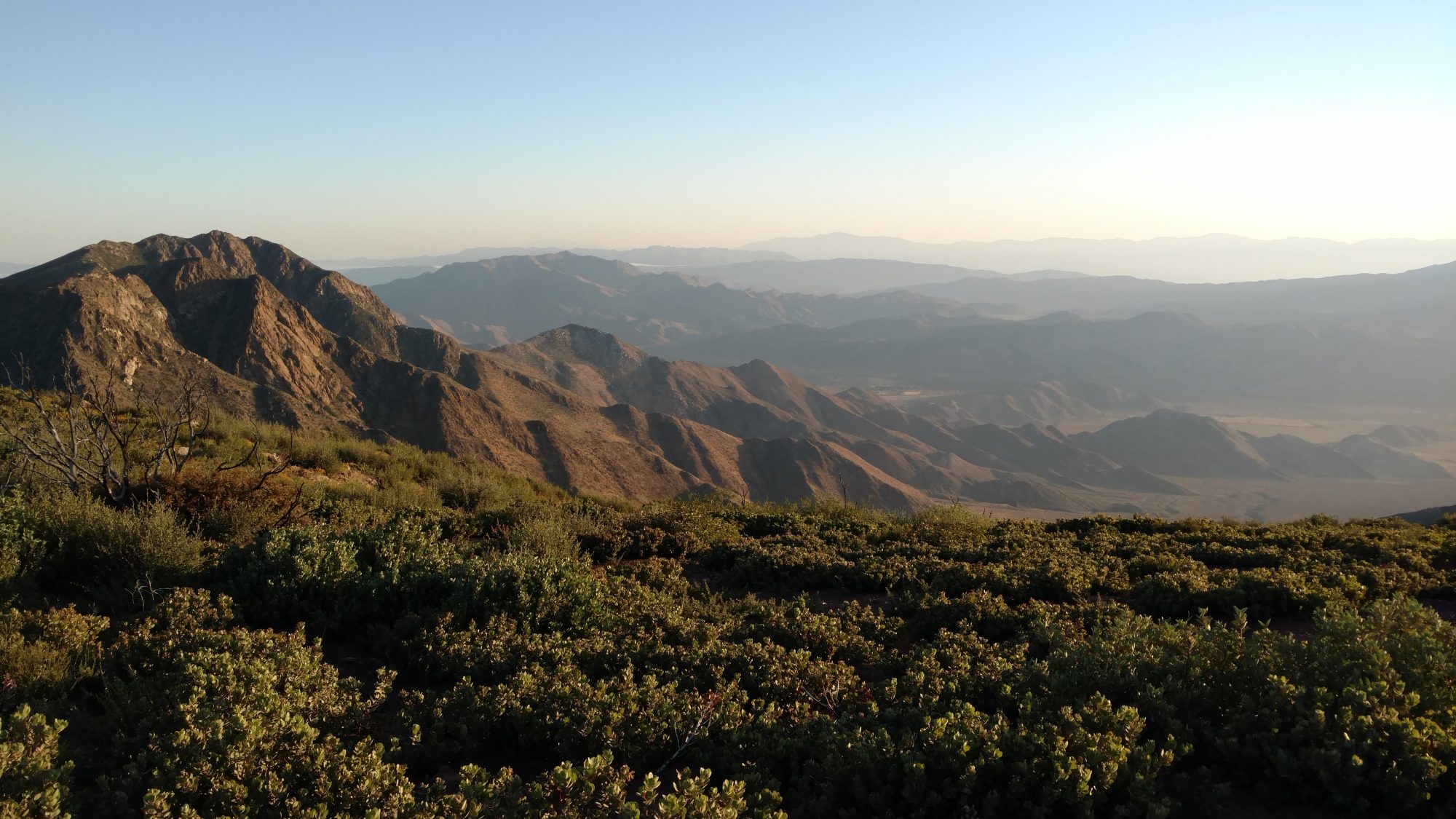
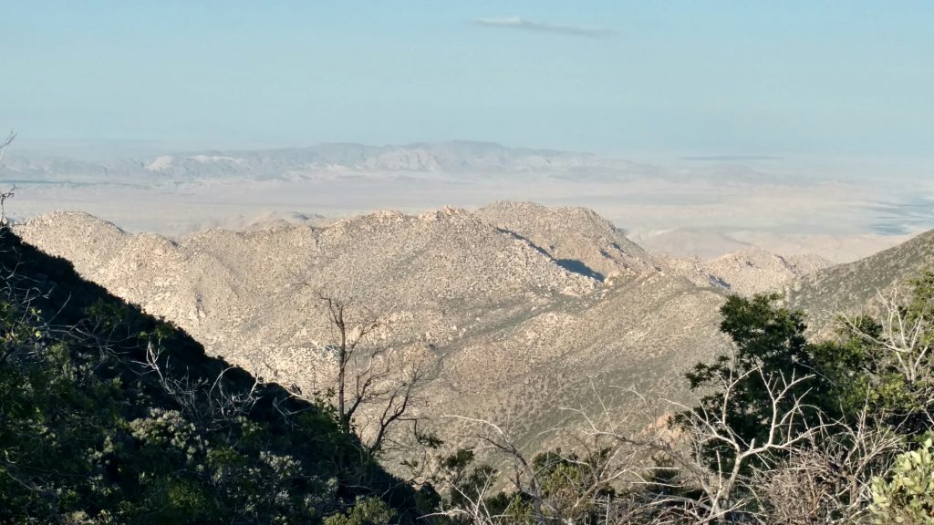
The road walk out was not too bad.  The shoulder was decent in most spots and the annoying goat grass seeds were the only problem.  Had to stop a few times to dig seeds out.  I ended up walking on the road as much as possible and not the shoulder because the asphalt reflected less heat than bare dirt (which most of the shoulder was, being freshly graded).  Who would have thought walking on asphalt was cooler than walking on dirt.  I could see the range the closure affected off to my right the whole time (see the picture at the top).

The long road walk to Idyllwild.

The first five or six miles of the road walk was horse country, and they had horse communities and trails all over it.  In the middle it was just open fields.  The campground that was ten miles out could not come soon enough.  I was thirsty and had to take my shoes and socks off to clean out seeds. I got a lime soda and spent ten minutes picking out seeds.  I was also finally able to get ahold of the Idyllwild Inn and book a room for two nights.  Now all I needed to do was get there.  I told them I would be there at six, but shortly thereafter realized it would be seven or seven thirty.  Time to pick up the pace.  I dumped a liter of water I would not need and headed on.

The road got a little narrower and started getting steeper.  I was also getting more tired and was running out of time to get to the hotel.  After a half hour when the road got really narrow, I stuck my thumb out and started hiking on the right side of the road to try to catch a ride.  About ten minutes and twenty cars later, a Subaru pulled over.

It was a couple who lived in Idyllwild, so I got the rundown as we went into town.  We passed through a smaller town on the way and she asked if I needed a post office because the one in Idyllwild was closed on Saturdays.  As it turned out, I did need to mail a few things back to Karen and it was 4:52 so she pulled in and I dragged my pack to the window so the clerk knew I needed to mail something out and not to close early.  Turns out they close at 4:45 but someone had called and she was staying open til 5.  She was very nice and I enjoyed chatting with her.  Three minutes later another person called right as the first one showed up.  Busy lady.

Once we got into town, she drove all around it (four blocks) just to show me where everything was and which markets and restaurants to avoid.  Talk about service!  She dropped me off right in front of the hotel and I checked in.

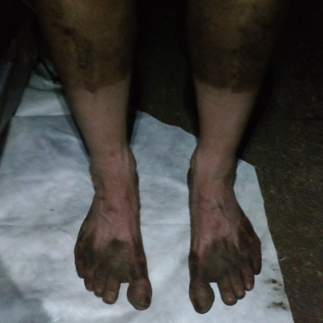
The Inn is pretty neat.  They have cabins and theme rooms, and I’m in the fall theme room.  It has a fridge, fireplace, table, chairs, and a shower.  I spent fifteen minutes washing just my feet before even getting the shower going. But I feel like a new person now.  And I can finally see the blister situation.  I have one on the ball of my left foot and the one on the toe on my right foot.  The left one can’t really be remedied, but the right foot can.

Dirty feet with small toe blisters from the heat and road walk.

The Inn requires a two night stay, which I really wasn’t wanting, but since I plan on being at the beer festival most of the day tomorrow, it might only count as a nearo and not a zero.  The hotel does laundry for hikers, and that is a welcome investment.  Only one week, and I can see now how I got the name Dirty Gil.  This shirt was brand new a week ago.

Documented proof that I truly am Dirty Gil.

After showering, I walked up the road to the Mexican restaurant which was excellent, then walked down to the market to check it out before buying resupply food for tomorrow.  It reminds me of Hitchcock’s in Florida.

I also studied the maps and reroute info when I got back to my room, because I’m still five miles away from the trail and need to get back.  After looking at the unofficial reroute map (half mile made his own reroute map) I found out his route would have been better, as only a mile or two were on the highway I walked.  He also had an option that took you right through the center of town which is exactly what I wanted.  His maps are so hard to read and nothing makes sense until you actually see it, but his plan B route is exactly what every hiker probably wants to take.  At least now I have the best route out of town to get back to the trail.  Oh well, at least I made good time on the road, and I needed to get to town in time to check into the hotel.

PCT mm 142.8

6-02-2016

I can’t think of anything cutesie to call today, so it’s just a day without a tagline.  A hot day again.  I got an early start at 5 am but another pair of hikers passed me about 4 am getting an even earlier start.  I ended up seeing them at 8 PM as they made camp.  I went another 2 miles or so to be able to camp higher.

It was another day of canyons all day long.  Some of the westward faces has nice cool breezes but the eastward and southward faces were just plain hot, even by 7 am.

I was trying to make the water cache before 1 PM so I’d have water while I waited out the heat.  But pictures of the cache site indicated that there would be no shade there, but a campsite a mile before did.  The cache site was at a dry spring, and Springs usually have trees.  There were some trees on the way there, but the site itself would have been very hot.

Where I stopped was adequate, but the trees were very small and hard to find good shade under.  I started out under a small tree that looks like a Holly tree with tiny leaves less than an inch long.  The tree worked well, but was dead or dying and every time the wind blew, it lost more leaves.  After an hour or so,  I had to find another tree.  That one worked for two hours until the sun shifted enough that I had to find a third tree.  All in all, it was a miserable five hours laying on the ground sweating.

I did make myself cook and eat lunch, but it was all I could do to force myself to eat.  Zatarains dirty rice is good, but not when it’s 102 and you are sweating.

When I started back up at 6 it was quite a bit cooler and by 7 was actually not bad.  I hit the water cache, I filled up to four liters for the 14 miles to the Paradise Cafe, which is one mile off the trail.  I hiked 6 more so the café is only 8 miles away.
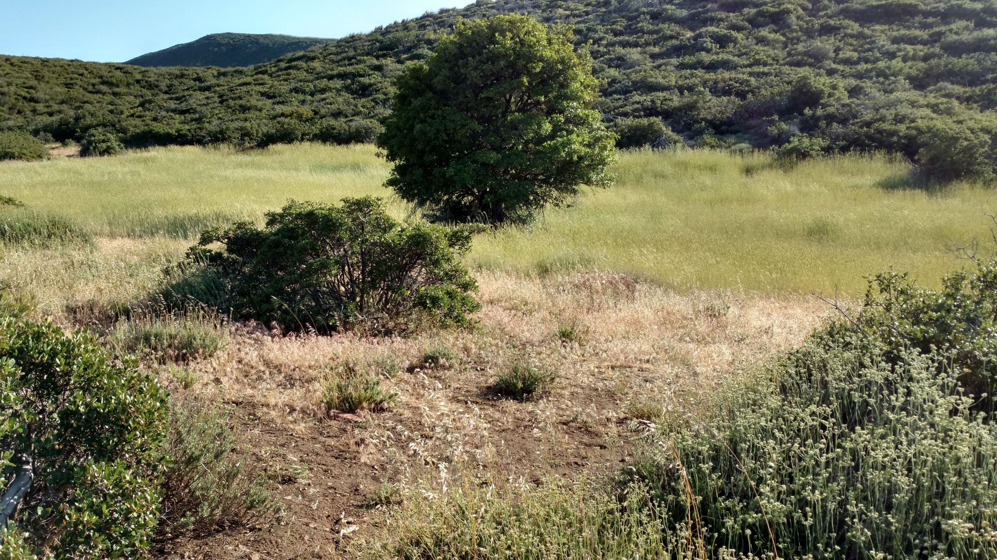
From the café I have a few options.  There is a section of trail just after it that burned in 2013 and has been closed ever since.  There is a rumor on the trail that it reopened last week.  No one has been able to confirm.  We are hoping the café will know.  If it is open, option 1 is to just hike the trail to Idyllwild.  If it is closed, option 2 is to use the suggested bypass which involves coming back to the same road the café is on.  It’s about 17 road miles to bypass about 10 trail miles.  Option 3 is to just roadwalk from the café and join up with the road portion of the reroute and just finish that as normal.  Option 4 is to just road walk from the café straight into your Idyllwild which would be 12 miles. Option 5 is just to hitch from the café to Idyllwild.  All roads really do lead to Idyllwild. I think the section is still closed, so option 4 is looking like the clear winner.  There are enough closures and reroutes that no one ever gets to truly hike all miles of the PCT and in my mind,  as long as I walk to Canada, no matter the route, that counts as not cheating.  If the trail is open, I’ll take option 1.

I am considering taking a zero day in Idyllwild Saturday to do true laundry and shower and tend to my feet a little bit.  I have not been able to wash them except for the hose bath yesterday and today I did get my actual first blister.  Some AC would be nice on the hottest day of the heat wave, too.  There’s also a beer festival in Idyllwild on Saturday.  That should be reason enough to take a day off.  Hiking 179 miles the first week should be another reason.

PCT mm 118.5 – Trees at last

Live oak trees in San Ysidro Canyon.

6-01-2016

Today was a fun day.  I got an early start again after camping without the tarp so I can watch the stars.  I’m doing that again tonight and probably every night not forecast for rain.  As I was stirring at about 4 am I noticed another light about 30 ft away from me.  Apparently I had camped at a spot that already had a camper last night and didn’t even know it.  I never saw him, he left about ten minutes before I did, but I’m pretty sure it was John from Arizona.  I met him that morning and he can book.  I’m certain that I’ll never see him again.  [Post hike:  Yes, it was John – he was known as Robocop and has apparently done the PCT several times.  He normally does 40 mile days.  I heard he injured himself before the Sierras and got off trail.]

The first major milestone – 100 miles!

The morning was warm but not unbearable.  It went through very large Meadows where some cows were grazing and also San Ysidro creek, which was quite nice.  There was a rock outcropping called Eagle Rock, which I did not stop for.  [Post hike: – I wish I had, the rock formation looks like an eagle flying out of the ground.  Next time, I’ll be sure to stop for more of these things that are close by.  I was jealous of other hikers after seeing their pictures.]  All this led me to Warner Springs where my first mail resupply was waiting.

Random hiker making their way across the meadow.

Eagle Rock is the unassuming cluster of rocks in the distance. They were only 100 yards off the traill,

The meadow was teeming with grasshoppers that made it sound like rain as you hiked along.

I got there about 12:30 after a 16 mile morning.  There is a community resources center just off the trail with a small store, showers, and laundry.  They will even shuttle you a mile to the post office.  Well as luck would have it, they closed for the season yesterday.  And their idea of laundry or shower was using a bucket.  The water was still on so I had a go at laundering my disgusting white shirt and khaki pants.  The pants came out fair. It the shirt still isn’t white and probably never will be ever again.  A quickie bucket bath and I’m ready for relaxing.

Someone was leaving the parking lot when I got there so I was able to get a ride to the post office and back, but did not have time to stop at the diner.  As I was repacking my food bags, I noticed that if you left any food unattended for five seconds, that it would be attacked by crows.  They got a bag of trail mix and one granola bar.  No big loss as I have one or two days too much food.

I was able to charge my cell phone and headlamp.  I’ve been hiking in the dark enough that it was getting dangerously low on power.  I have started carrying spare batteries in my pocket when night hiking so I can make a quick swap of needed.  I have a small squeeze light attached to the pack straps so I can see to change the batteries.

I started eating as much of my food as possible because I had too much and didn’t go to the diner.  It’s hard to eat trail food when you know a diner is one mile away.

A thermometer on one of the buildings read 102 but I don’t think it’s accurate.  The temperature is still supposed to go up each day peaking on Saturday.  All of San Diego county is under a heatwave alert Friday thru Sunday.  They advise not being outside.  I’ll have to keep playing my off hour hiking strategy to beat the heat.

I mingled with a large group of hikers at the community center.  This is the first time I have seen more than one or two other hikers.  I must be slowly catching the bubble.  There are about a dozen hikers here.  One of them referred to me as “Dirty Gil” in an offhand comment and it seemed to amuse the other hikers.  I think I have been transitioned from Gilligan to Dirty Gil.  It may not be flattering, but at least it’s unique.  [Post hike: Yes, indeed, the name Dirty Gil stuck and I stopped fighting it once I got to Kennedy Meadows and wrote it on my hat to make it official.]

A couple from Oregon said that a friend texted them about a beer festival at a town a few days away.  Looking at the calendar, I just might be able to make it.  Challenge accepted.

I left the center at 6 PM and hiked nearly four hours to 10 PM.  The trail exited town across more Meadows then went up a canyon that had an actual flowing creek.  Imagine that.  I climbed up to the top of the ridge to be in cool air tonight and to not have to burn up all that energy first thing in the morning. I hope I am able to find a shade tree tomorrow about noon or its going to be another hot one.  I saw about a third of the hikers from the center pass me while I was camping.

PCT mm 93.2 – Hotter than hades

Yucca does not provide much shade, and that’s all I found all day long.

5-31-2016

Will the real southern California please stand up.  She did today.  I got an early start to beat some of the heat but apparently that was not enough.  I awoke just before 4 am but did not get rolling until 5 am.  I was trying to make the water cache as early as possible.

But the weather has changed.  The forecast shows each day getting progressively hotter with temperatures reaching 100+ by Saturday.  It said today got to 86 but it felt way hotter than that.  It felt mid 90’s to me.  By 8 am the heat was already unbearable because I was crossing the valley floor about two miles to get from one mountain chain to another.

Looking back across Scissors Crossing to the valley I had just crossed.

This new chain is the San Felipe mountains and they are not green at all.  It looks like the moon with dead cactus.  They are also the most craggy and cut up with canyons that I have seen yet.  The next town I am trying to get to is Warner Springs which is about 12 miles by car, but 30 miles by trail.  The trail is not steep or anything, it just wiggles around like mountain bike trails.

I was going to hike until about 2 to get me within striking distance of the water cache so I could take an afternoon break to get out of the heat.  There was hardly a breeze and the umbrella shaded me from the sun but could not shade me from the rocks.  Heat radiates up from the ground.

I ran across an unusual high spot at 12:30 that was very flat and very windy.  It  seemed like a good place to set the tent up to hide from the shade.  Turns out not so much.  The sun was so hot that the rain fly did not really block much of it at all.  I had to use the umbrella inside the tent to shade my upper body and just let my legs fry.   The wind died down alot and when it did, the heat was unbearable.  When a breeze kicked up, it would dry the sweat and then die down again.

Waiting out the sun roasting in my tent.

I drank over a liter just sitting doing nothing and also cooked some noodles which used another half liter.  The cache was 9 miles away and I had about 2 1/2 liters left when I set out at 5 PM.

I hauled boogie to try to make it before dark.  It was still quite hot at 5 and didn’t really get cool until about 7:45.  I made the water cache about 8:45 and loaded up.  They bring pallets of gallon bottles via truck and have an elaborate system of get from here first and crush the empties and deposit there.  Having a system allows them to immediately know how much water is left.

I wanted to be sure I make Warner Springs by the afternoon heat, so I headed out to knock out another 3 miles to shorten the 18+ miles to town.  I found a nice spot at 2 miles so stopped at 10:30 and set up the tent without the fly because it’s really windy and I want to watch the stars tonight.  I still can’t bring myself to cowboy camp without the tent because there’s too many damn rattlesnakes here.  I have seen three and it’s only the fourth full day of hiking. No thank you on the snakes.

Nice big rattlesnake right in the middle of the trail.

With 16 miles left to town, I should be able to make that in one shot and be there noonish if I leave early enough.  I’m looking forward to a shower and laundry.  My white shirt is fifty shades of brown.  It gets dirty fast, but it sure helps with the sun.  I also have my first food resupply at the post office.  It will take the entire afternoon just to do chores.

PCT mm 68.4 – Magic shade tree

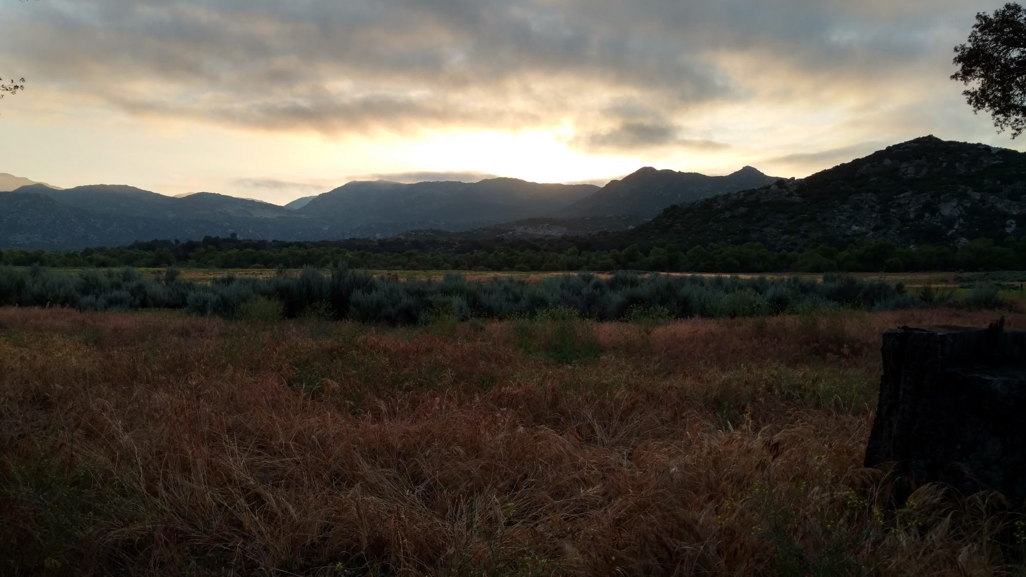
Morning in the Desert is quite peaceful.

5/30/2016

Today is different.  Water is so scarce in this part of California that the PCT association organizes a live water report.  They basically crowd source data on each water source and if it is flowing, what the quality is, etc.  It is maintained on a Google doc so you can either print it out or view it live.  I have had to view it live because water sources are drying up constantly.

I have just entered a stretch where so many water sources have dried up that there is 30 miles between sources.  And I actually screwed up my planning so I am carrying 12 liters of water over 41 miles.  That’s about 24 lbs just in water.

Let me tell you I can feel that weight.  I’m only carrying 3 1/2 days of food, otherwise it just wouldn’t physically fit inside the pack.

The hiking strategy changes when you are carrying that much water.  Instead of hiking all day, I will be walking only in the mornings and evenings and taking an extended siesta during the day.  I hiked about 17 miles this morning, 12 of that with all the water.  The plan was to hike until 2 and then stop for the afternoon.  But at about 1:45 I stumbled across a meadow with a single oak tree in it about 300 yds off the trail, so I made a beeline for it.  I was not the first to see the tree, as the grass was worn down all the way to it and under it.

Could that be a shade tree off in the distance?

Yes, that is a lovely shade tree. I think I’ll have a rest.

So here I sit under the only shade tree I have seen since about 9 AM, taking a nap and fixing late lunch/early dinner.  I charged the phone up and slept for about an hour.

Great place for lunch and a nap.

There is a very cool breeze, so I am actually wearing my rain jacket just to stay warm.  You read that right, I am wearing a jacket in the desert in the middle of the day because I have found a wonderful shade tree.  The rocks are radiating heat still, so I know it’s still hot on the trail itself.  I will wait until about 5 or 6 PM, then I will saddle up and hike another 5 hours or so, the last 2 being in the dark.  All this just to avoid the heat.  I will get up before 4 tomorrow and start hiking before the sun comes up and hike until noon or 1 PM.  I should be able to make it to within about 5 miles of the next water, which is a stocked cache of gallon jugs in the woods.

Very good camouflage in the desert.

I got going again at 6 PM as planned, but did not hike as far as planned.  After it got dark, it was much cooler, but the hiking is a little slower, so I only hiked until 9:30 when I came to a road that had good flat camping spots.  The entire evenings hike was on steep slopes with nowhere to camp, so when I saw a good spot, I thought it best to call it a night.  Carrying this much water is taking its toll.
I can tell I’m not too far from Los Angeles because the entire Western sky is a soft glow.  To the east it’s pitch black and I can see a good number of stars in that direction.
I will try to get up before 4 so I can make good tracks tomorrow before the sun shuts me down.  I can tell the pack is getting lighter as I drink down some of the water.  I’m pretty close to a normal load now.

My socks keep my feet clean, but not my toes, and the dust goes straight up my pants legs.


PCT mm 44.4 – I finally find actual trees

Early morning is my favorite time to hike.

5/29/2016

Today was a cornucopia of terrain.  I had camped in a lowland flat prairie, then had to climb the typical desert scrub I have been seeing since the border, but then there was a small stretch that had what Karen and I call beach trees (small twisted oak trees) and actually ran across the first two natural water sources of the entire trip, then finished the day in a highland ponderosa pine prairie.

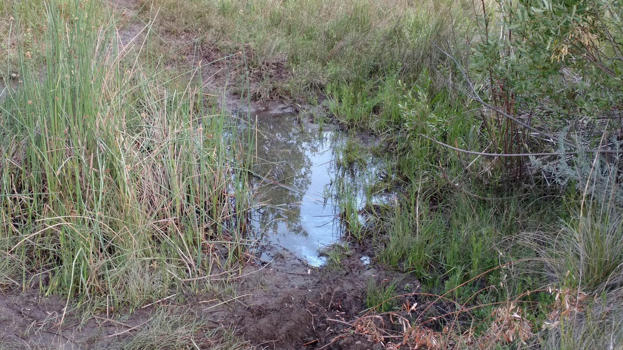
Yummy water source

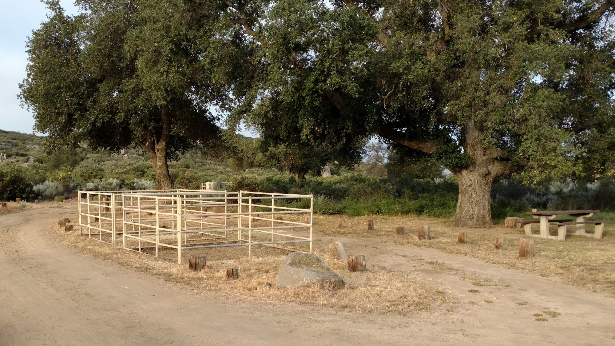
I got out a little later today, perhaps 6 AM.  I went by a state forest campground that had horse pens at most of the campsites which was pretty cool.  About half the sites were full but no horses.  There was supposedly water there, but I never found it and luckily, I did not need it.

Horse pens at Boulder Oaks equine campgrounds in Cleveland National Forest.

I didn’t realize how much of the day was spent climbing until I looked at the map afterwards but the bulk of the day was a steady uphill climb.  The trail is graded so you know you are going uphill for sure, but it’s not so steep that you think your chest is going to explode.  There are still some rocks to dodge, but nothing as annoying as the AT in that regards.

View of the highway during a snack break and phone stop.

I took breaks every two hours or so and nibbled on food and drank water and Powerade.  It was definitely a much hotter day, but I used the umbrella pretty early on and it really did make a noticeable difference.  It made it feel ten degrees cooler.  I was the envy of the trail as I met southbound hikers who said it was a smart idea and wished they had one.  One couple said they took theirs out of their packs before this trip and now regretted it.  I was sure glad to have it.

One of the people I met today is Peter, who just finished his thesis in Poland and is out seeing the world before he has to enter the real world.  I actually saw him heading to the border monument as the three of us were leaving it.  I also met him very briefly yesterday in the campground as I was headed over to the restroom area.  But today we met around noon and ended up hiking the rest of the day together and camping together in a pine meadow just past Mt Laguna.

One of the highlights of the day is when we climbed from 5800 ft and crossed up to 6000 ft.  The landscape changed dramatically.  Instead of being mountain desert, it was meadows and ponderosa pines.  It seemed like familiar places in northern new Mexico or Colorado.  It seems backwards in my head.  On the east coast, higher means smaller trees that can survive harsher weather.  In the desert, higher means taller trees that get more rain.

The ponderosa pine emits a wonderful vanilla aroma.

On this high ground is the small town of Laguna Mountain. The post office and it’s store was closed, but the restaurant, outfitters, and showers were open.  We skipped past the showers and headed straight for the restaurant.  Sine we arrived at 3 PM, it seemed like eating was the appropriate thing to do.  A hamburger, salad, and beer later it was time to head to the outfitters.

Peter also had umbrella envy and the next six days are supposed to get gradually hotter, so we stopped at the outfitter.  We have a thirty mile stretch coming up without water, so keeping cool is going to be important.  It was a really neat outfitter and I found all sorts of neat stuff in the hiker box to supplement my food with.  It reminded me of a surf shop, but with hiking gear.  At only 40 miles into the trail, I bet this guy does a great business.  [Post hike:  The owner’s name is Dave, and “getting Daved” is a well known phenomenon where people magically buy things they probably don’t need, but weary bodies want.]

I’m a half day short on food to get to my first PO resupply so I found a few good things to supplement from the outfitters hiker box.  He also had cool drinks in a cooler for hikers.  I was planning on topping off food at the store connected to the PO, but it was closed, so I was glad to find a few things in the hiker box to eat.  I was also able to find a sheet of tyvek that someone had discarded – SCORE!  Now I can make a perfect ground sheet.

We got out of town a bit late, so we stopped only 2 or 3 miles out of town to camp.  I made curry lentil rice that I got from the hiker box and it was really hot.  Now I know why they ditched it.  I put peanut butter in it to tone it down and seem like Thai food and that helped, but I just could not eat it all and had to bury about a quarter of it.  The first time ever I have not been able to finish a meal while hiking.

I think we have about ten miles before we hit the stretch that begins thirty consecutive miles without water.  We have been carrying water for 20 mile stretches, but 30 is more.  And I don’t just mean 10 more, it will probably feel like 20 more.

Carrying water isn’t linear, it’s exponential.  The more you carry, the more it tires you out and thus the more you need to drink.

I have the capacity to carry 12 liters, but I will probably only carry 9.  30 miles requires 6 for the distance, plus half a liter each night to camp, and two more for safety in case it’s really hot.

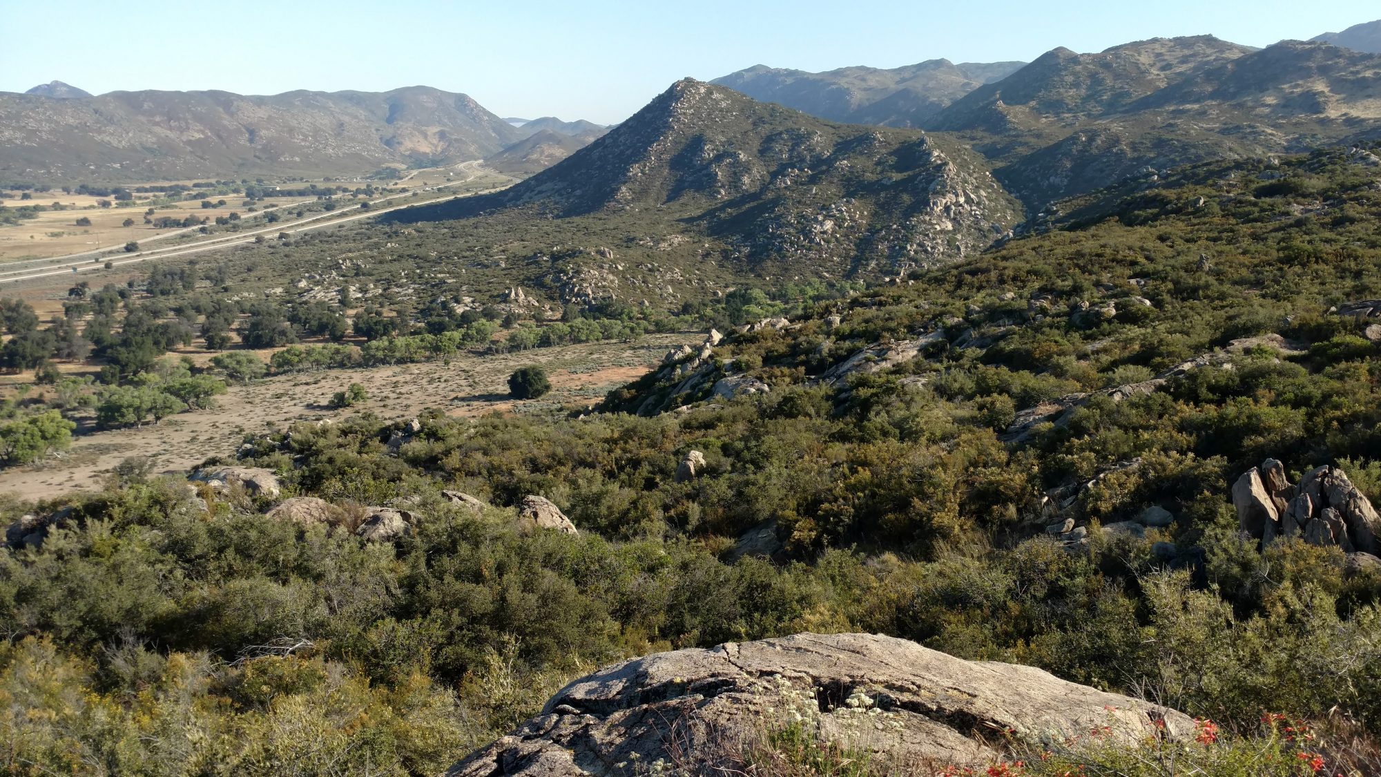
The view of the desert from Mt Laguna.

We had some cloud cover later in the day today, but the next week is supposed to be sunny.  We will be getting up early and probably stop hiking from noon to five then hike again until dark and keep hiking some after dark just to avoid the heat.  Fun times.