Day: October 5, 2020

Day 29 mile 460.5 Bears and dogs

Yesterday must have been the opening day for bear hunting season because today was filled with people wearing orange, toting around dogs, and carrying guns.

I woke up nice and early at 6:15 and was able to get ready and on the trail before 7:00. It felt great to get out early and well before the sunrise. Last night was not cold at all and I got a little warm at times so getting ready was pretty easy.

The first hour of hiking was quite a bit of up and down along the ridgeline and I got tired pretty early. I ate and drink a little bit and that gave me a little more energy. I knew water was going to be scarce today so I needed to plan where I would stop to collect it.

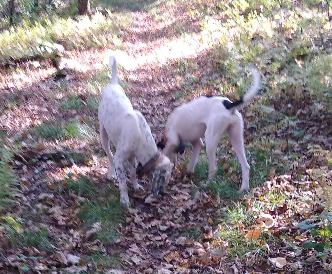
After about 2 hours I came across two guys in a camp site with two hunting dogs running around. The dogs were really skinny and one of the guys was feeding them as I got there. I went down to the water source and got some water straight out of the spring that was coming out of a rock. Since I could actually see the water coming out of the ground I didn’t bother treating it.

20 minutes after leaving that campsite the two dogs there came running behind me. They were really friendly and pretty neat dogs. They would come and go for the next hour as I was hiking.

I stopped for lunch at one of the shelters and had the last piece of pizza which was horrible. Note to self: never buy Little Caesars pizza. Cheese, salami, and triscuits fixed the bad pizza.

Shortly after lunch the trail crossed Tennessee 92. The parking lot was full of trucks with dog crates in the back and dozens of hunters running around in orange. I stopped to have another quick snack and make some Gatorade and in the 5 minutes I was sitting there 3 hunters walked up the trail the same direction I was going. I decided it was best if I change from the long sleeve gray shirt I was wearing to the short sleeve orange shirt.

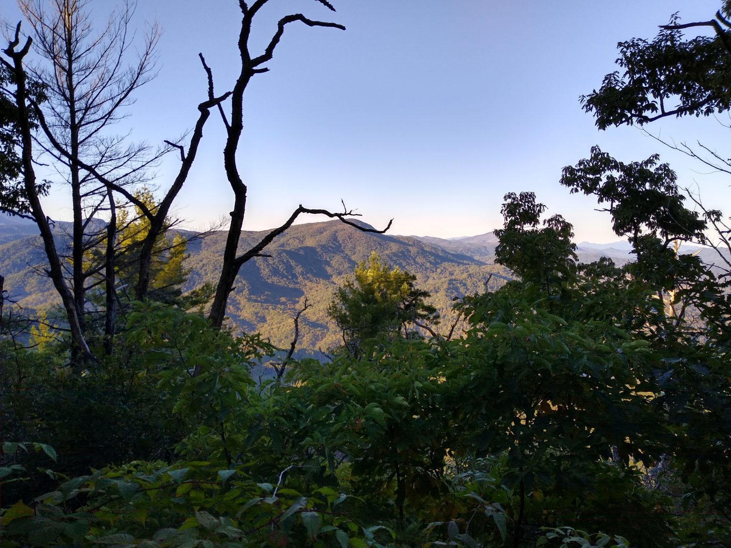
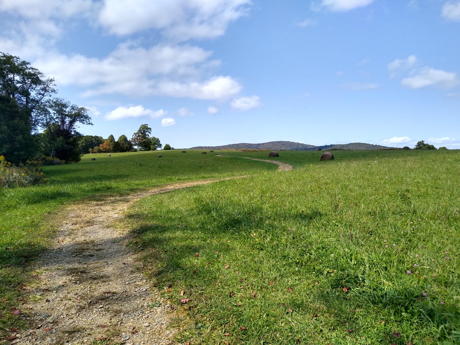
From here the trail ran across several pastures. It was probably over a mile worth and really very pleasant hiking and great scenery. After the pastures ended the trail continued to be very moderate for most of the rest of the day. The climbs now are a moderate grade and don’t slow you down too much which is nice for a change.

I kept running into one of the two hikers I saw in the morning that were feeding the dogs. We crossed paths more than five times during the day. He is also out to hike till the end of October but he only started at the beginning of the month. I am assuming he probably started near Carver’s Gap. He went past the shelter I stopped at tonight so I doubt I will see him again unless I run across him in Damascus.

Since many of the hostels are closed I went ahead and called one of them to reserve a room for tomorrow night. I am only 10 miles from town and I’m pretty sure I can get there before lunch. If I get there early enough I might just drop my pack by the hostel and then run and rent a bike to ride down the Virginia Creeper Trail. That would be a nice change of pace to be able to ride a bike for a while instead of walk.

Today was my first 25-mile day of the trip. I don’t need every day to be 25 mi but I do need many of them to be close to be able to hit my end point goal of getting past the Shenandoah’s. The terrain should be a little bit easier than North Carolina. As long as I get up early I should be able to do the mileage I want to do. My only concern is the days are getting shorter very quickly. But I’ll worry about that on Tuesday as Monday in Damascus is all I’m focused on right now.
Day 28 mile 435.5 Waterfalls and pointless climbs

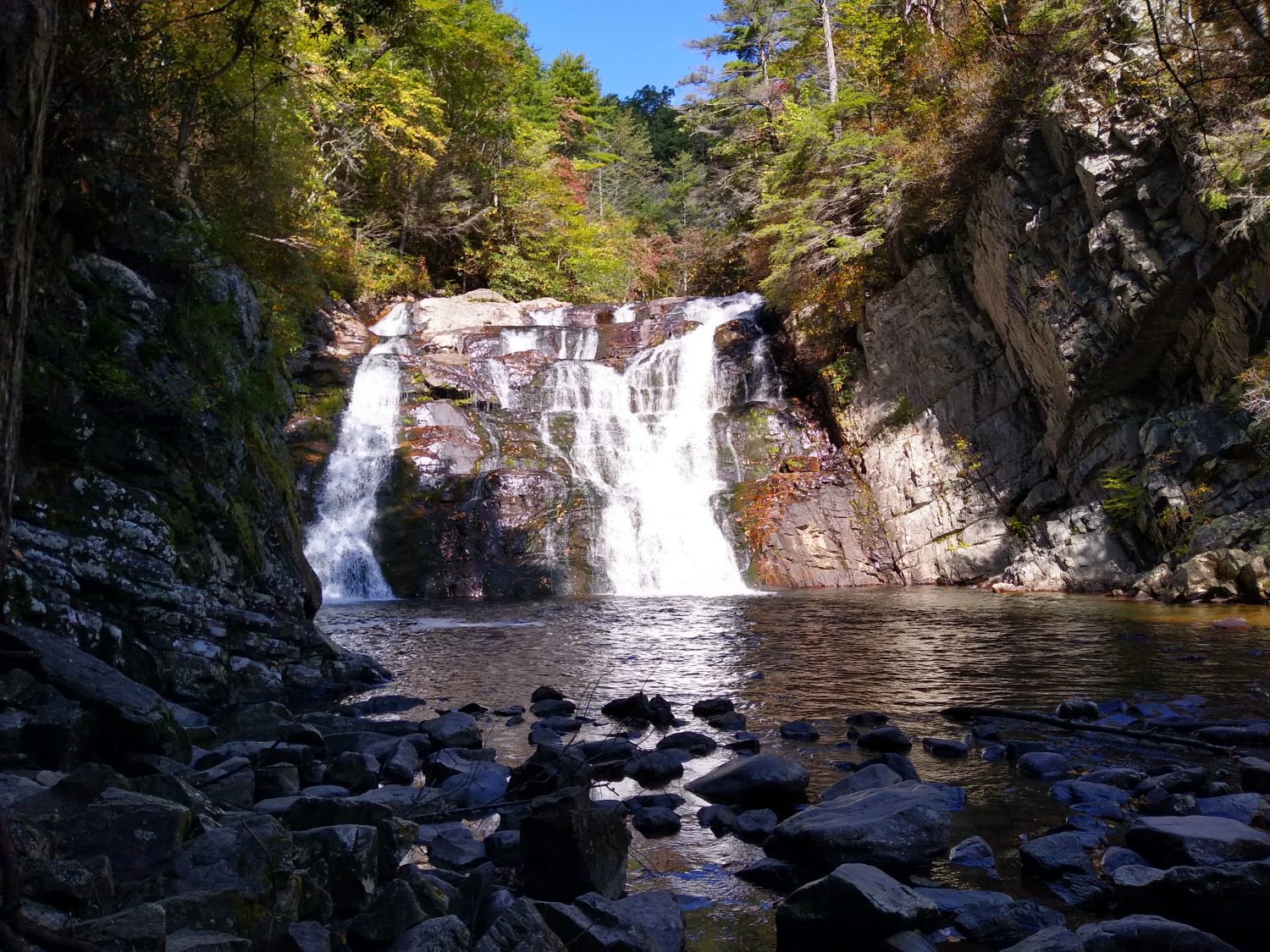
I guess this marks the end of 4 weeks and I was hoping to be in Virginia by now but at least I’m close. Some of the hiking was easy today and some of it was difficult but Laurel Falls in the middle of it made up for any of the difficulty.

I overslept this morning and didn’t get up till after 7:10. But since it was already light it was easier to get ready and I was still off by 7:45. I heard the other hiker Izzy pass me on the trail about halfway through getting ready to leave. I would not see him all day long until I stopped by Boots Off Hostel and he was already there cooking a pizza.

The night was pretty cold last night and I was wearing extra layers to sleep in so I was okay but my nose was pretty cold most of the night. I kept shifting onto my side and when I do that my knees and feet slide off the pad and get a little cold so I couldn’t sleep like that for too long.

The hike in the morning was relatively easy. There weren’t any steep grades either up or down. I got to the Laurel Falls Campground sometime around 10:00 and stopped to have a snack. It was one and a half miles to the falls and the trailhead was pretty crowded with lots of families. The first half mile was super wide, super flat, and super nice. The second half mile was pretty much like a typical trail – ups and downs and twisting around switchbacks. The last half mile was a terror of rock steps and really steep inclines and declines. I was really surprised how difficult the trail was. It was about as difficult as some of the really hairy trails in the White Mountains. But there were families and kids at the falls so I guess they like that kind of stuff.

I didn’t remember the falls from 1989 but I must have seen them. They were quite impressive and I would like to come back again someday. The AT continued along down the river for at least a mile. 

The old trail in 1989 kept following the river into the town of Hampton and then there was a 2 mi road walk to the lake. The new trail turned away from the river and went straight up a mountain. And by mountain I mean serious mountain. It was 3 miles to the top and over 1800 ft of climbing. At the top was an area called Pond Flats. So there must be a pond or at least it must be flat, right? Neither is the case, as there is only a mediocre campsite at the top. And then the trail immediately descends 1,800 ft for another 3 miles. 6 miles and 3,600 ft of elevation change doesn’t sound like a good exchange for a 2 mile trail along a river plus a 2 mile road walk.

The plus to the new route is that it ends up near Boots Off Hostel. It was too early for me to stop there and I already knew that they were full and only had space for camping but I went ahead and stopped by to see about getting some more food. I got there just as a Good Samaritan had dropped off a pizza and dipping sticks for the hikers and myself and Izzy were the only hikers around at the time but Izzy had already started cooking two pizzas for himself so the owner and I were the only ones eating the pizza. I got some drinks a few walking snacks, a pint of ice cream, and a fresh pear that was quite delicious.

I was there about an hour relaxing and eating and talking with Izzy. His friend arrived just before I was ready to leave. His friend and he are going to finish hiking to Damascus and that’s the end of their journey. But since I am moving ahead and they are camping there tonight I am not likely to see them again.

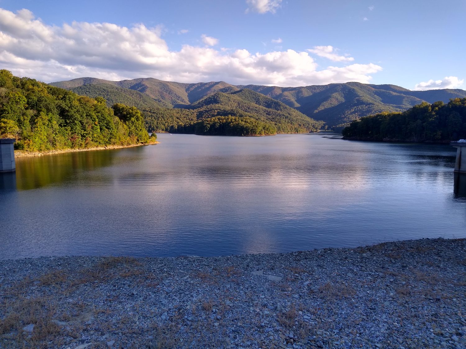
I headed back out across the highway to the lake where there is a public beach. The lake is pretty much as I remember it from 1989 but the roadblock approached the lake from a different angle. This new trail has you backtracking quite a bit around the lake to be able to get to the other side.

The trail has filtered views of the lake for several miles before turning towards the dam. The dam is an earthen dam just made of rocks and dirt. I didn’t realize until about a half a mile after the dam that this was a hydroelectric dam. What I thought were just overflow spillways were actually collections spillways for the generation plant below. But the generation plant is over a half a mile away. That seems like a long way to pipe a boatload of water and judging by the transmission lines it doesn’t generate a tremendous amount of electricity.

After the damn the trail follows the service road for the dam which is normally closed to cars and then heads up to the ridgeline on the north side of the lake. The hike up to the ridgeline had way more switchbacks than I was expecting and way more climbing than I was expecting too. I probably made it a few miles along the ridgeline before 7:00 arrived and it was time to look for a campsite. There is a shelter 2 mi away but it will be dark by the time I get there and I don’t care to hike in the dark.

So here I sit 35 miles away from Damascus. I am hoping to get into town before the post office closes on Monday so I am going to try to get an early start tomorrow to make as many miles as I can. Even if I only do 20 that would leave 15 and that should be doable before the post office closes but I’m going to try to do a little more than 20 just to shave a little time off of Monday’s hike.