
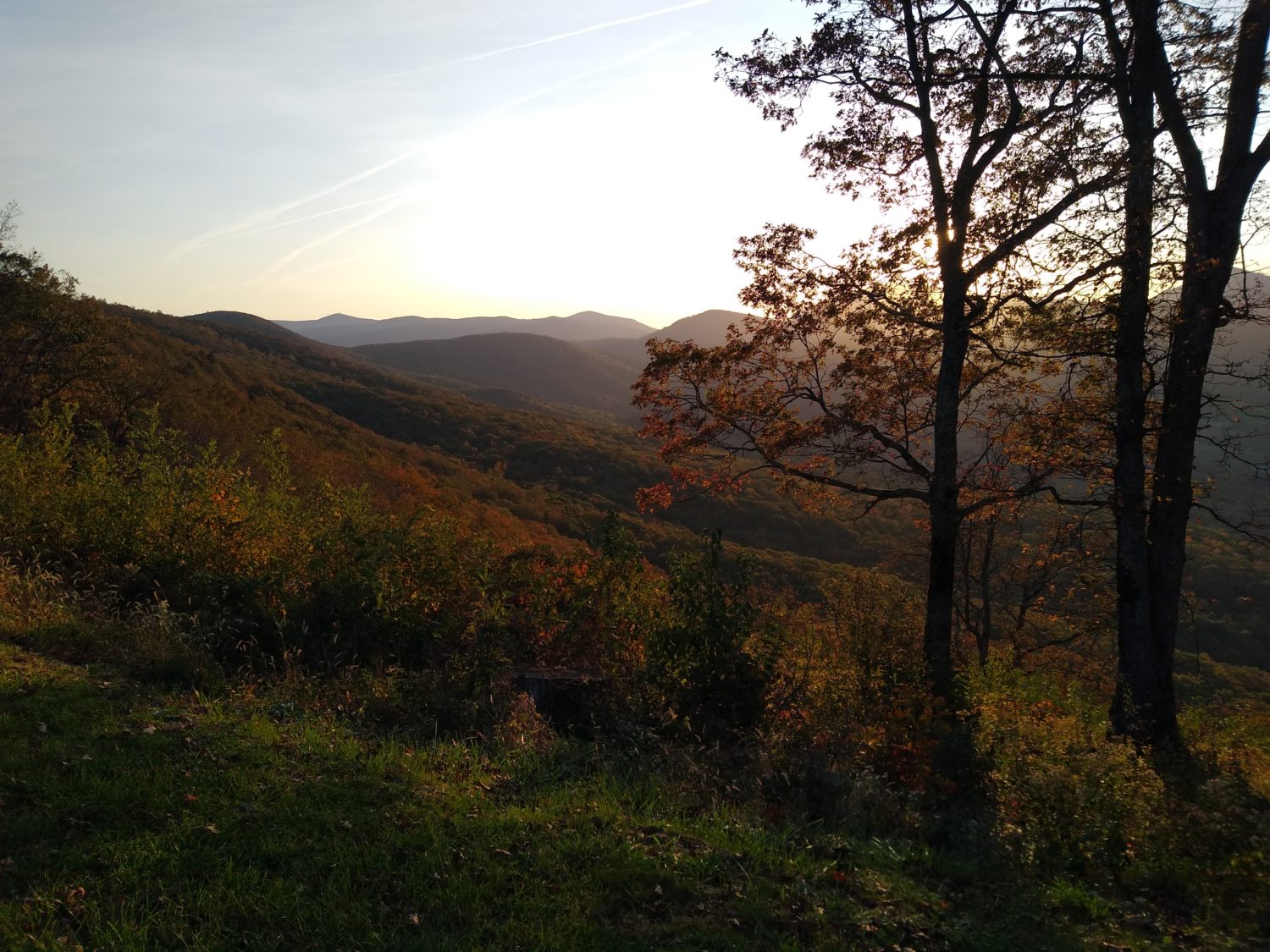
Today I finally crossed the James River. But to get there there was a lot of climbing and there were a lot of rocks involved. I know it’s probably not more than the normal amount of rocks for the Appalachian Trail but my feet were sore today and they noticed every single one of them.
I got up about 6:20 and didn’t get on trail until a little after 7:00. I wanted to get out a little earlier than that to make up for the short day yesterday but it’s still in early enough start to need the headlight for 15 minutes. A couple that camped with me probably got out 15 or 20 minutes after I did.
As is the norm for most shelters, the morning started with a climb. I was close to the Blue Ridge Parkway all day but didn’t get near enough to see it very often and didn’t get down to any of their overlooks. The first major climb of the day was to get up to the top of Apple Orchard Mountain. I don’t know why they call it that because there are no apple trees, but there is an FAA tower at the top of it that looks like a giant golf ball that hums. There was someone camped out in a tent in the grass right near the tower when 30 ft away there was a great spot nestled in some trees away from the wind.
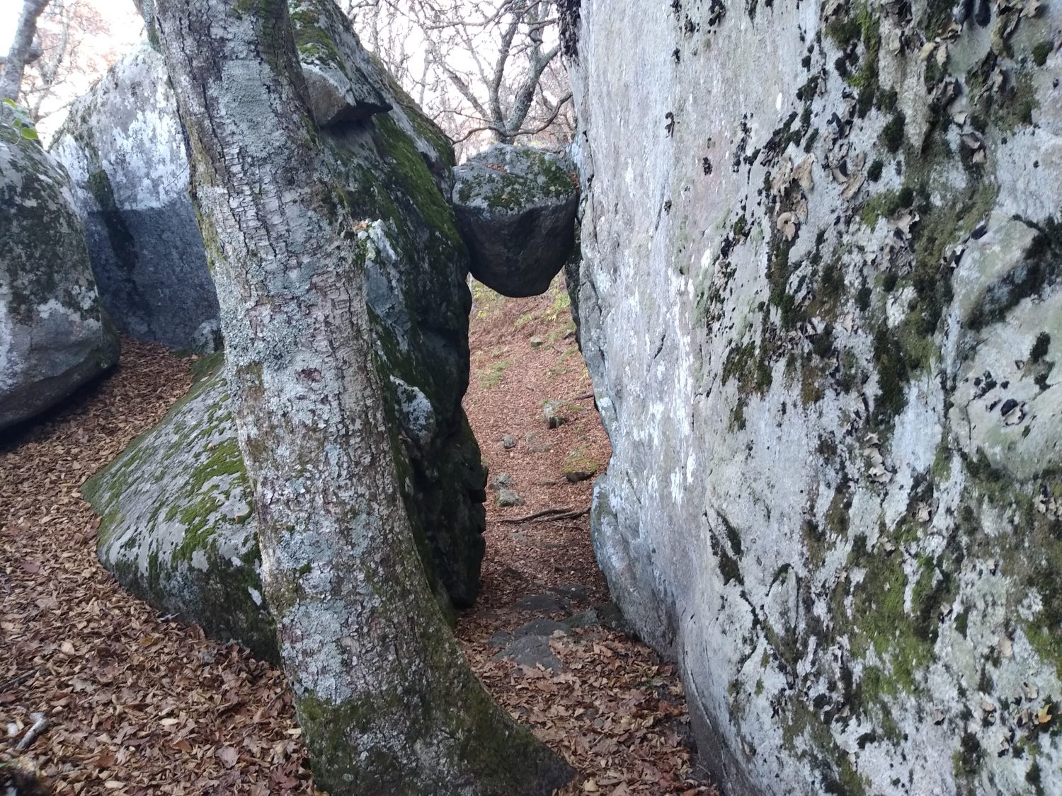
There were quite a few rocks all around the peak of Apple Orchard Mountain. They weren’t terrible and there were not miles of it but I’ve had a crack on my big toe on the right foot that’s been bleeding for a few days and each rock seemed to find the exact spot that the toe didn’t want to be touched. Not only that, there were little rocks hidden by the leaves that I kept stepping on, and when they’re very pointy they cause serious pain when you step on them with all your weight. That’s been the only problem I’ve had recently -making sure my feet stay healthy and not sore all the time.
Later in the morning I did come to an overlook that had a father and daughter talking to their wife/mom on the telephone. We chatted a bit about the trail and my experiences and he asked if I needed any food. I was tempted to say yes but I said no. But honestly a Coca-Cola would have been really good about then. Luckily this overlook was close enough to a parking area and the parking area did have a garbage can so I was able to get rid of some trash that I had been carrying. That’s one of the good parts about the Blue Ridge Parkway – there’s lots of garbage cans as well as lots of good views.
Thunderhead Mountain was the next one to climb and it had about the same amount of rocks near the top. If the entire mountain were all rocks it would be unbearable but luckily it’s usually only the top 100 or 200 ft. And for a 1500 ft climb that’s not too bad. But it does slow you down.
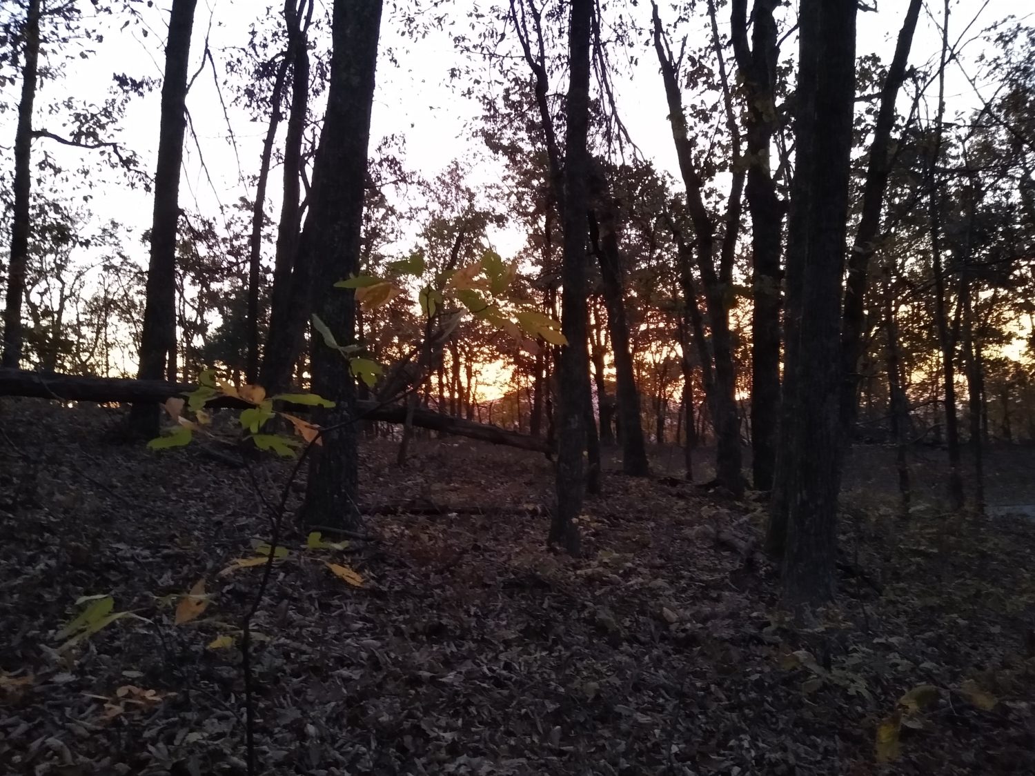
There were no opportunities to sneak off trail today to find some place to grab something to eat, but that’s okay, I’m coming up to the James River and if I need food badly enough I can just hit Glasgow. I had estimated that I should hit the river at about 5:30.
The climb up to the last ridge before the river was graded really well and followed the contours of the mountain. Once it started to descend it got a little bit steeper but it wasn’t too bad. I knew that the trail would descend down to the river pretty quickly but then follow the river for about a mile to get to the footbridge to cross it. Since the graded trail was pretty nice I actually got to the river just a little after 5:00. Walking along the river went pretty quickly but there were a few little rocky areas that slowed me down a little bit.
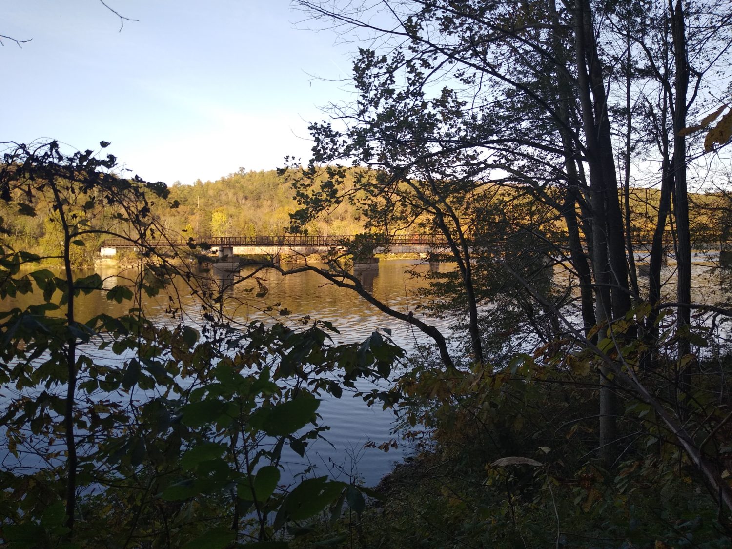
The footbridge is built on piers that look like it probably used to be a railroad bridge but this is a brand new bridge designed specifically for foot traffic only and it’s about a thousand feet long. I noticed they had signs on the bridge saying “no jumping” but I remember 10 years ago seeing video of bunch of people jumping off the bridge into the water. The water is dark enough you can’t really tell how deep it is so there’s no way I would jump off of it. It’s at least 20 ft above the water.
Crossing the road and beginning the ascent of the other side was pretty uneventful. There was a shelter not too far up the trail that I would hit probably before 6:00 and I would have to decide whether or not to stay there or try to push on a little further. I made better time than I expected and actually got there a little bit before 6:00.
I looked at the map and from the shelter the trail climbed really steeply. Probably more steeply than anything I had encountered today. The ridgeline was over 2 mi away and would take probably an hour and a half to climb. That would put me well after dark getting to the top and judging by the contours it didn’t look like there would be any camping either on the way up or maybe possibly at the top. Some of these peaks lately have had rhododendron or mountain laurel on the top and those are horrible for hammock camping.
I had gone a pretty good distance today and the next road leading into Buena Vista which is my next plan stop is 20 miles away. If I get up a little early I should be able to get to the road in good time. That will give me the option to either go into town if I can get a shuttle or a hitch or keep going a little bit further. There’s no official camping or shelter within 5 mi of the other side of the road but the contours look a lot more friendly than the mountain I’m currently on.
I’ve been taking a tally of the food that I have left and I think that I can make it all the way to Waynesboro on the food that I have with me but I will be down to the last bits of food if I push that far. If I have a good day tomorrow I will probably try to push forward. But if I’m struggling I may go ahead and go into town. Today was pretty hot and I am getting pretty stinky. Since I had extra time at the shelter I went ahead and took a sponge bath that was a little more in depth than the usual nightly routine. We’ll see how tomorrow goes.
Recent Comments