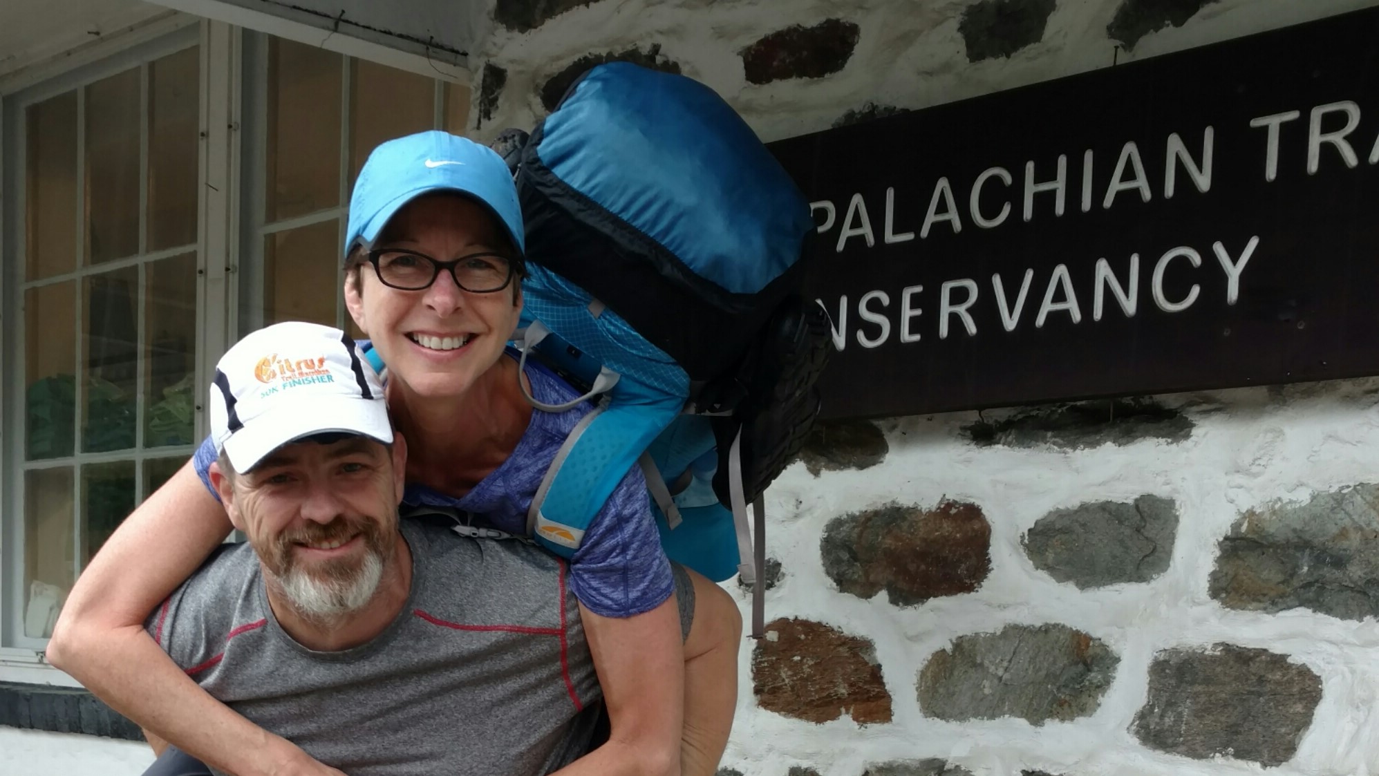
We did have the most excellent weather today, but it was not starting out that way in the morning. We awoke to a thick fog that had some of the smaller local airports shut down until 10 am. The trees were thick with dew and dropping rain on us as we broke camp atop Peters mountain. We were on the trail shortly after 7 am.
Hiking in the fog was not bad at all. We did miss several viewpoints because of it, but the temperature was good and a cool breeze kept us comfortable without jackets. The terrain was a bit rocky, but nothing too slippery. The fog broke for us just after 9 am and then from that point on it was blue skies and cool gentle breezes all day long. It was very humid but comfortable.
We broke for an early lunch about 10:30 by the side of a trout stream where we saw two fisherman, but other than them, we did not see a soul all day long. It was quite nice, but we did expect some of the Duncannon crowd to pass us, but no one did.
We left the stream just after 11 and headed up a long two mile climb, the only significant climb of the day. We generated quite a sweat on the way up and loaded up with water because the guide book said there was none for the next 9 miles to the shelter. The guide book lied.
I have been using the ALDHA guide for years since I am an ALDHA member and members get a free electronic copy of the guide. I have always printed it out in small sections and carried only what I needed. It is the official guide endorsed by the ATC. But I am also carrying the AWOL southbound guide mainly for the flop portion of the flip flop. There are over half a dozen water sources along the way and AWOL had indicated nearly all of them. If I had known about them I would not have lugged 4 liters of water up a 1500 ft climb. That’s eight pounds just in water. Sheesh. The AWOL guide is a full book and I’m not up to the point where I want to cut it up yet so for now I am taking pictures of the pertinent pages and I will view from my phone and then just take new pictures every few days as needed.
Once we finally got up to the top of the climb, we found out that the horse-shoe trail terminates right at the AT at the top of our climb. That trail heads all the way to Valley Forge and passes just a half mile from Karen’s cousins house. Now I know a 100 mile side trip I can take one day.
The rest of the day was mostly downhill and not too rocky or muddy which was nice for a change. We made good time and hit the Rausch Gap shelter just after 5pm. We went to the shelter to get spring water and no one was there but we are camped next to a pretty sizable stream. If the water were not so cold there are many pools that would be good for swimming.
We are both pretty tired from a long day of hiking. Our distance today was about 17 miles. Karen’s feet bothered her early in the day but warmed up quickly. We both have sore feet but it looks like the blisters are in check and may subside soon. Other than feet, we are doing well physically.
We still have not seen another hiker today, we have eaten our dinner, cleaned up, and are bedded down for the night. We are expecting rains to come in around midnight and stick around most of the day tomorrow, but we do not have cell service here, so there’s no way to know if the forecast has changed since this morning. Most of the day has been without cell service which is odd because we have had excellent service all throughout the trip so far. It makes little difference if it rains or not because we will still have to get up and hike. If we don’t do it, it doesn’t get done.


Recent Comments