Month: September 2020

Day 4 mm 50.1 Tesnatee Gap lives up to its name

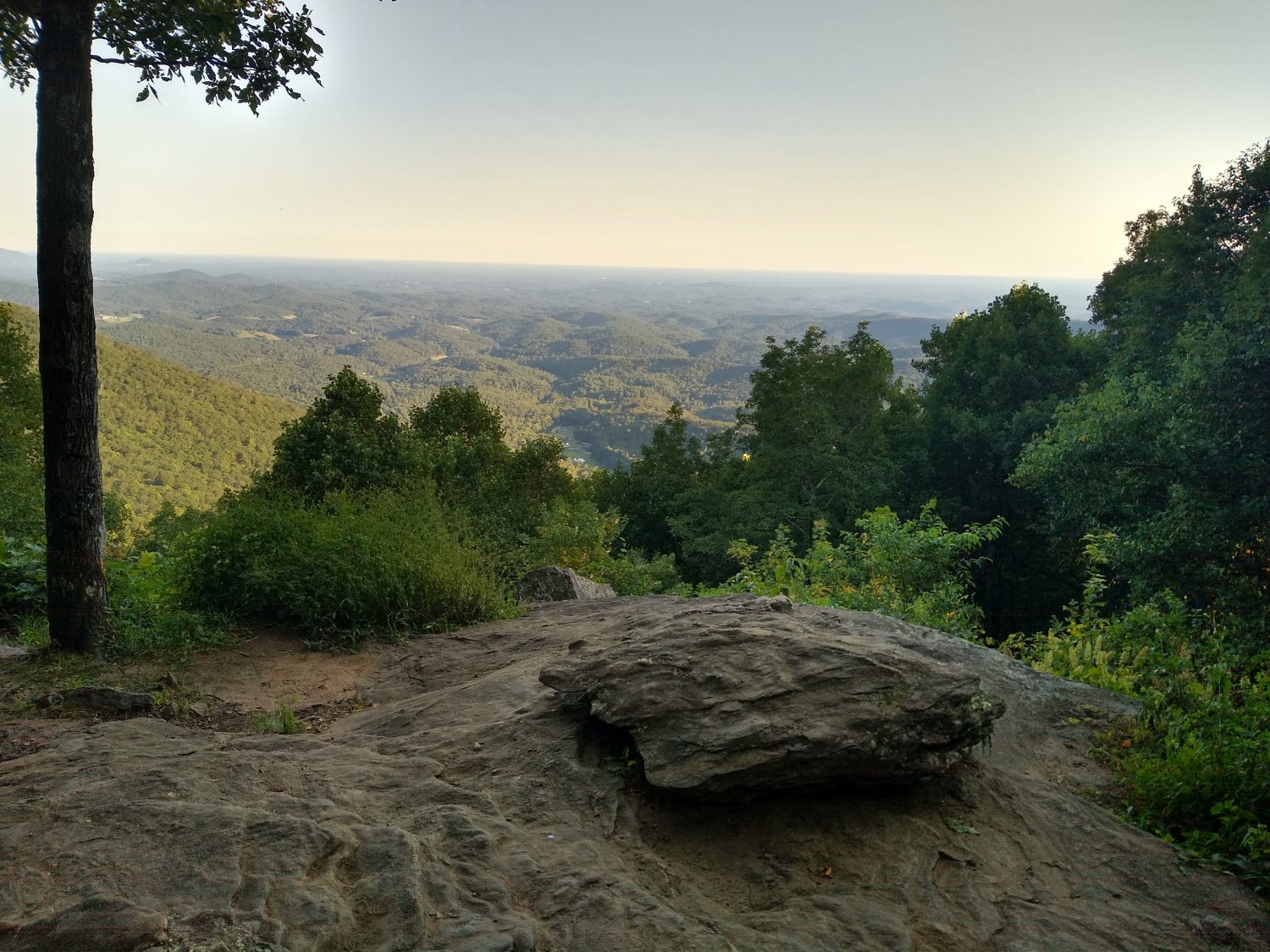
Today was the day I had to climb Tesnatee Gap. It was one of the memorable climbs in ’89 for being really steep out of nowhere, and it was exactly as I remembered it, but maybe not as long. Even the road that went up to the Gap was really steep. That should be a warning that the trail is also going to be just as steep.

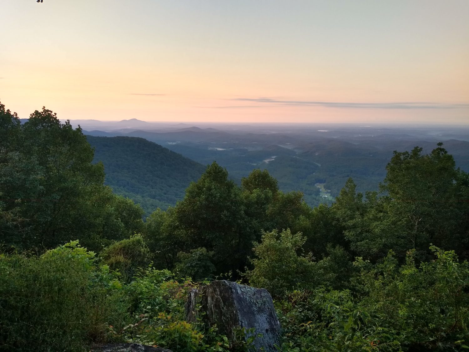
I got a decent start in the morning. I woke up about 6:15, was out hiking by 7:00, and was easily hiking for 30 minutes before the sunrise. It wasn’t too cold. There was a nice cool breeze and a little bit of cloud cover made sunrise take a little bit longer than I expected.

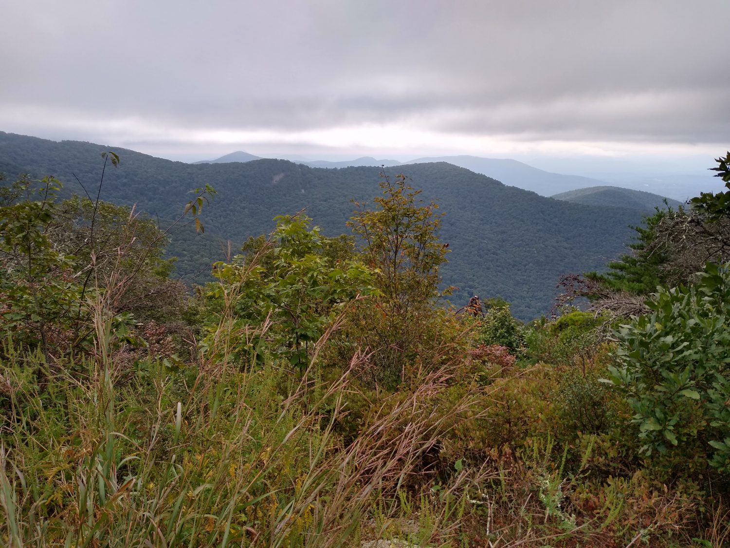
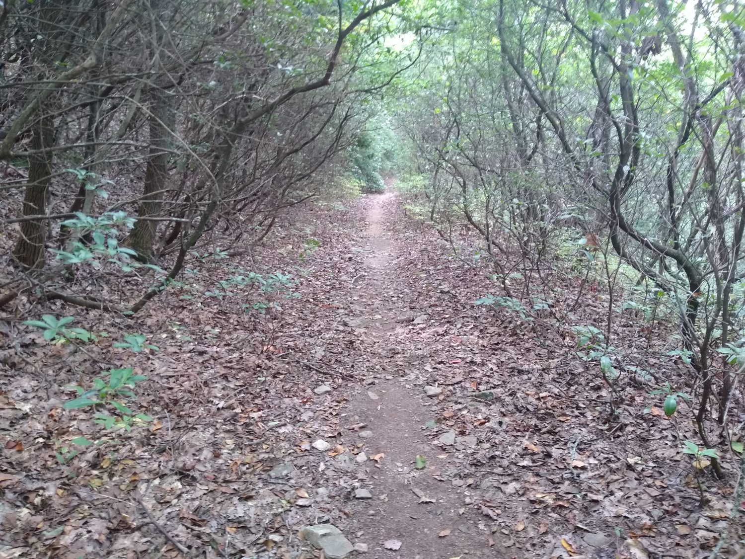
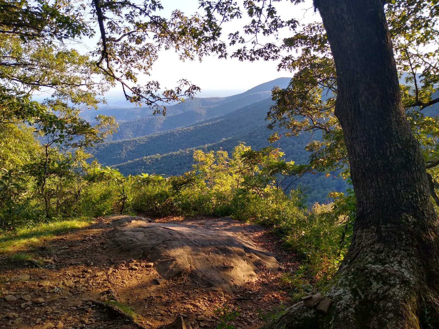
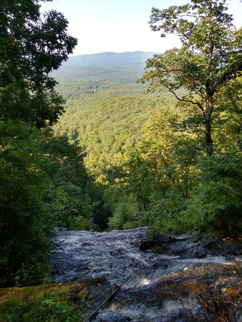
The day as a whole was pretty uneventful. There was some climbing; there was some descending; there was quite a bit of level hiking that I didn’t expect, so that was a bonus in the middle of the day. But the end of the day had a really rocky and treacherous stretch about a mile before the shelter where I was going to stop to see if I wanted to camp there. I slipped on a rock and fell and banged my knee a little bit but nothing too bad, just a little bruise.
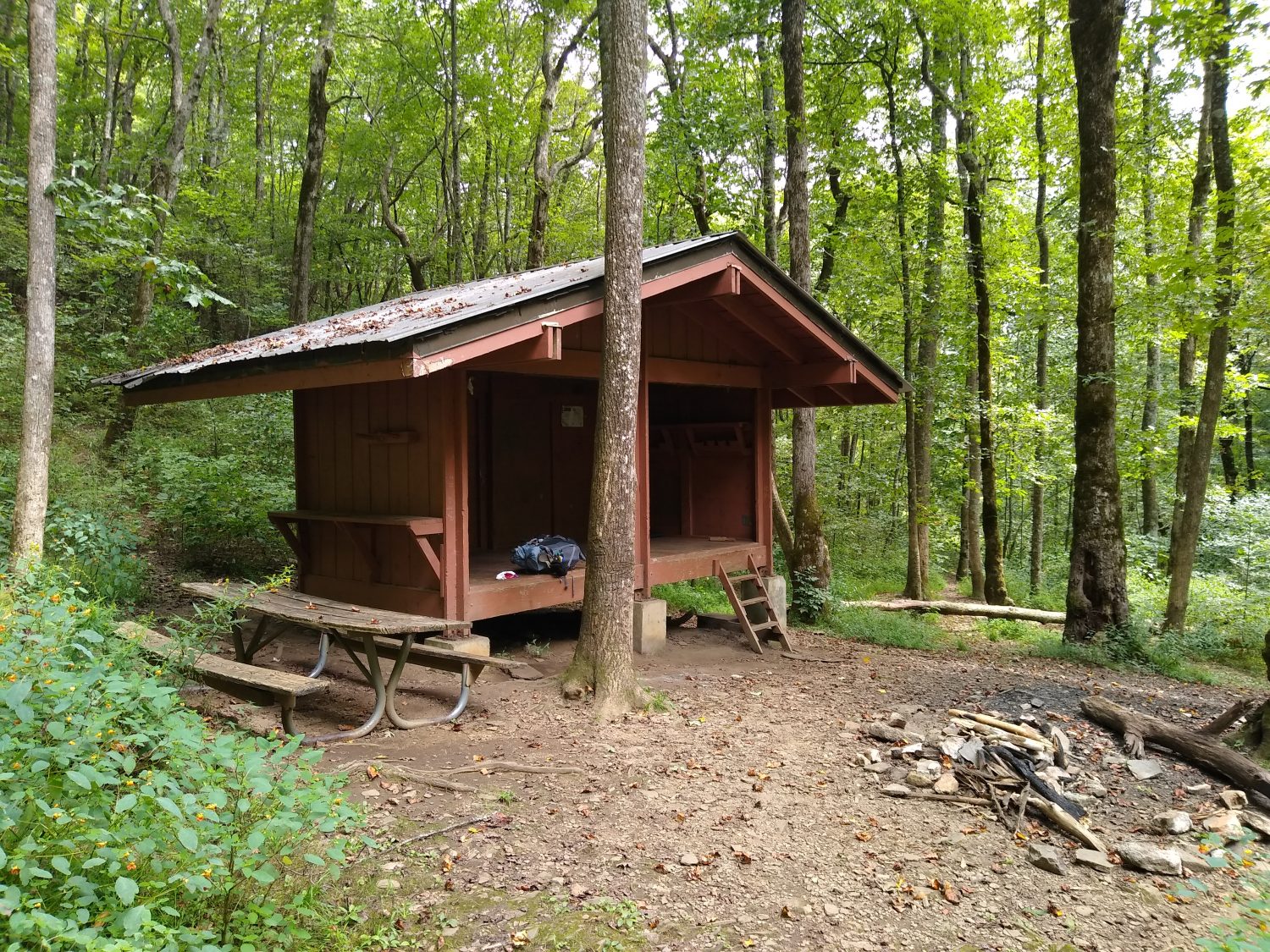
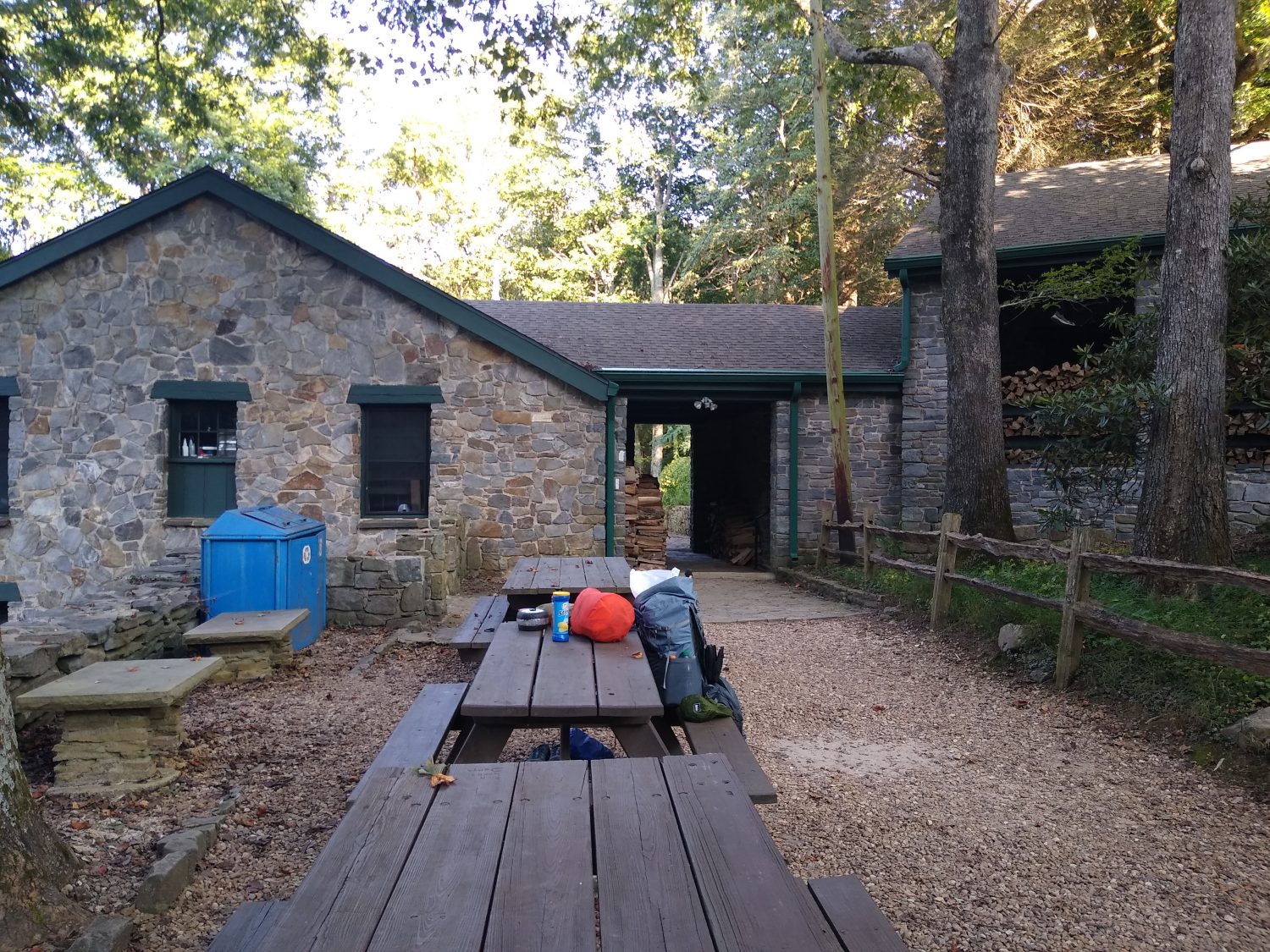
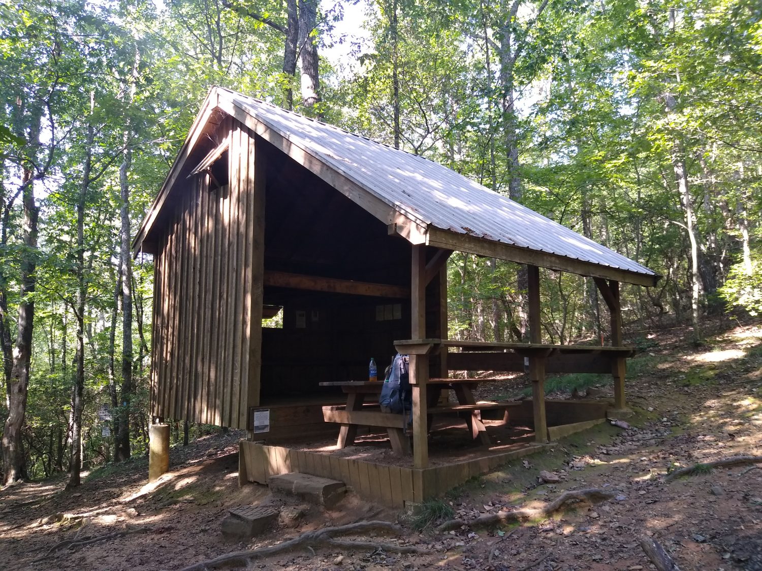
A mile before the shelter there was a spring, so I stopped there and filled up and washed off my legs, took a quick little bath, and then headed up to the shelter. There was a couple up there who saw a bear about an hour ago, so I decided I better go ahead and stop here and use the bare cables instead of risking not finding a tree to be able to hang my bare bag.

I tried the Peak dehydrated dinner that I bought at Mountain Crossings and it was pretty good. I was surprised that it only took one cup of water. I didn’t get my water boiling the first time so I had to restart the stove to get it hotter. After letting it set 10 minutes to rehydrate I stirred it and it was not very hot and a few pieces were a little crunchy so I stirred it and let it set another 5 minutes. A few of the whole beans were still not fully rehydrated but it was good anyway. It was a sweet pork dinner and the sweetness had a bit of spiciness to it as well. It reminded me of a Thai Sweet Pork dish. At $14 a meal I doubt I’ll buy any more but if I could get them at a cheaper price I would definitely eat them again. They were very high quality.

I haven’t looked yet to see where I want to try to end up tomorrow. Today’s 18 miles was a decent distance to go. I wanted to go a few more but the bear being here and the trail only leading to Unicoi Gap would have made it a really long night so I decided I would cut today a little short and I’ll see if I can add a few miles tomorrow. Tomorrow is supposed to be cloudy with a small chance of rain but by Friday it’s supposed to start raining and rain for three straight days and nights. I need to make sure I’m in good shape and in good health before I try to push through rainy days.

Day 3 mm 33.5 Conquering Blood Mountain

Today was the first day that I actually remembered something and had it turned out the same way as I remembered it. One of the most memorable aspects of my 1989 hike was getting hypoglycemia hiking up Blood Mountain and having to run down the mountain in the rain to make it to the hostel before they closed. As it would turn out I arrived at Blood Mountain at the same exact time as I did then, left Blood Mountain at the exact same time as I did then, and arrived at Neil’s Gap at the exact same time as I did then.

I purposely got up a little bit later than normal again today to not push too hard. Since I had camped at the top of the mountain the beginning of the hike was all downhill and quite pleasant. It was cool but not cold and the sun had not come up yet. I was able to get some good pictures of the sunrise from a rocky outcropping that gave pretty good views towards the east.

When I arrived at the first road crossing in Woody Gap I met another hiker who had just been let off by a shuttle. It turns out that he is also a Florida grad (grew up in Winter Haven or Winter garden or one of the Florida winners) but has been living in Cleveland most of his life. He is just out for a few days but he was keeping up with my pace pretty well. It turns out he is also an Eagle Scout and also went to Philmont so we talked quite a bit about that. We are 10 years apart in age so it was interesting talking about how scouting was a little bit different between our two experiences. He told me a lot about his family and his daughter who is an outdoor guide. It sounds like she is the one fueling his interest in hiking again. He is thinking about someday trying to do a thru-hike. He just recently retired and so I think he’s testing the waters right now.

We parted ways at the base of Blood Mountain before the big climb up. He needed to rest up and get some water so we talked a little bit about strategy. I wanted to summit and get into Neels Gap so I could resupply for my next hundred miles. I knew the store closed at 5:00 p.m. so I couldn’t wait around too much longer.

I remember my trip up Blood Mountain in ’89 very vividly because a lot of things went wrong. It was just above freezing, I had rain gear but no fleece, and because it had been raining all day I didn’t stop to eat and I was low on energy. The last mile up to the summit of Blood Mountain is pretty steep and I remember the vegetation changing to rhododendron as I neared the top. As I hiked it today it did indeed change to rhododendron as I neared the top.

The main thing that made the 1989 hike up Blood Mountain most memorable was because it was cold. I was low on energy because I wasn’t eating enough food and I experienced the physical phenomenon that I had never experienced before. The last 300 or 400 ft going up to the summit I remember the periphery of my vision beginning to sway around and eventually turning to gray. I kept on hiking and eventually I realized I was getting tunnel vision and could only see a cone of about 10° directly in front of my face. By that time my hands were really numb. I could hardly use them. There’s no way I could have tied my shoes or signed my name but I kept pushing up the mountain because I knew there was a stone shelter up top where I thought I could at least get out of the rain and maybe get warm.

I remember very distinctly in 1989 that I reached the shelter at 3:00 p.m. in total exhaustion and I immediately laid on the floor and just sat there for about 10 minutes without moving. There was an older gentleman already in the shelter and he was trying to start a fire with wet wood. All he really said to me was “Hey, there’s a hostile down the mountain that will give you food if you get there in time”. He didn’t say anything like “Gee, you look bad. Do you need any help?” No, he just wanted me to leave. I ate something simple, probably a granola bar, drank a little, and then I distinctly remembered getting up and leaving at 3:30 because it was 2 and 1/2 miles down the mountain and if you didn’t make it to the office by 5:00 p.m. when they close you were out of luck for the whole day. And I was definitely in need of a shower, laundry, and a spaghetti dinner that night. So I took off in the rain as quickly as I could down a really steep and rocky trail. I made it down to the store at a quarter till 5:00 and they had a good selection of outdoor gear so immediately after signing up for the hostel and the dinner I bought a few items to eat and then bought a fleece. It was a brand I had never heard of before and it was very expensive but I bought it because I knew that I had not packed enough warm clothes for the cold weather that I was experiencing in the mountains. It was a kokoda fleece and I still have it today even though Karen wears it more than I do. It’s one of the best pieces of gear I’ve ever purchased in my life. It’s one piece of gear that may have actually saved my life as well.

So on this trip everything pretty much played out exactly the same except for the weather was nice – probably in the upper 70s, breezy and sunny – so I could see a long distance and I was barely tired when I got to the top. I arrived at exactly 3:00, had a snack and a drink, and left at exactly 3:30. I had the same intentions of making it down to the store by 5:00 p.m. but I was not rushing this time. I took my normal time because I knew that there was also another camp store about a half a mile down the road in case I didn’t make it to this one on time. But as luck would have it it took me exactly the same amount of time. I got there at a quarter to 5:00. The store was still open. The hostel is closed because of COVID but I was able to get laundry and a shower and all the food I needed to get me to Wesser.

It took close to 2 hours to finish laundry so I headed up the mountain not knowing how far I would go tonight. It looks like that answer is about 3 mi so I’m comfortably in front of where I really needed to be today and that feels good. I could have made it a little farther today but I did enjoy the morning walking with the other hiker. I hope he decided to stay on the top of Blood Mountain tonight and we’ll make a more leisurely climb down Blood Mountain because it is very steep and I know he was tired. Hopefully the rest of his trip will go well enough that he will decide one day to also thru-hike.

Day 2 mile 19

Today was a nice day. The temperature was pretty cool, but it got hot in the afternoon.  I got a late start because I’m trying not to go too far today so I purposely laid in the hammock for an extra hour listening to music and then got up and took off around 8 a.m.

First stop was the falls at Long Creek.  I remember stopping there 30 years ago with my dad and I remember them pretty vividly and when I got there they looked the same but they looked way bigger and the trail on the way to there did not look familiar at all.  It’s amazing how many things look the same and yet how many things look different. The trail leaving the falls also looked different and I thought I remembered that quite well.

I still can’t get over how different it feels in Georgia in the summertime with everything green versus every other time I’ve been here it’s been January through May and there’s been no leaves on the trees . There is some tree that has a weird smell and I can smell that for about a mile at a time and it seems to pop up about every 10 miles I have no idea what it is but I’d love to find out.  There are also a lot more rhododendron than I remember. North Carolina and Pennsylvania are the states I remember for Rhododendron tunnels but Georgia trees are shorter and have a different look.  They don’t arch over the trail the way they do in North Carolina but it’s still a neat place to hike.

The shelters I passed today Hawk mountain and Gooch Gap are still there but the shelters are very different now.  I think they both have been replaced.  The old shelters I remember only sleeping 6 but these new shelters were two stories and could easily sleep 12.  They were both in very good shape and look like they would be a good place to stay.

I didn’t meet as many people along the trail as I did yesterday but there were still quite a few. I can tell this is still holiday traffic but now that the holiday is over I expect tomorrow to be pretty bare.

The stretch from Hawk Mountain shelter the Justis Creek is a little over 6 miles and there are signs and posts warning that there’s no water and you need to carry plenty.  I carried a little bit over a liter and a half and I made it, but I was basically Out of Water by the time I got there. I also got there later than I thought by almost an hour and I was pretty thirsty. I made my coffee at 3:30 which I’m used to having it around 2  but after drinking a coffee and half of a Gatorade I felt great for at least the next 45 minutes to an hour I need to make sure I can get my coffee between 2 and 3 so that I don’t get tired in the afternoon.

I wanted to make about 15 miles for the day so I looked for a spot about that distance away and found that there was a mountain top that had a rocky out cropping and the comments said that there was campsites nearby.  It was later than I wanted it to be when I got there maybe about 6:30 to 6:40 and the spots were not great but with a hammock you don’t need a great spot. It’s not too hard to make your own great spot. But it was hard finding a tree to hang the bear bag.  But finally I found one even though it was a dead tree it looks to be strong enough as long as a bear doesn’t get too determined to get my food.

 I made my dinner out on that outcropping with the sunset going down behind the trees and it was a nice peaceful dinner.

I am only about 11 miles from Neels Gap and that’s where I’m going to resupply.  I counted the food that I have remaining to be prepared for tomorrow.  I have two breakfast one dinner and three lunches so I need to decide am I going to try and make it all the way to Wesser which would require five and a half days of food or should I try and stop in either Helen or Franklin and make a shorter trip out of it.  I haven’t decided tonight but I’m sure by the time I get to Neil’s Gap I will have made up my mind.

I feel pretty good physically. I’m tired, my feet hurt a little bit, my hips hurt a little bit from the hip belt.  But my shoulders are fine, my calves are sore but fine, my knees are fine, and my hip sockets are fine. Overall everything is pretty good. Only one toe is a little bit sore.

The weather forecast shows warm afternoons about like today 83 to 84 as a high through about Friday and then a higher chance of rain Saturday and Sunday. Maybe I will be farther enough North and have a better luck of weather for the weekend.  But the weekend is a long way away. Let’s just worry about tomorrow for now.

Day 1 mile 4.5

What? Only four and a half miles?  Yes, but what is not told in the story is the eight mile approach trail.  I’m not counting the number of this trip yet, but there are always numbers to count.  I am purposely trying to limit my miles the first three days to 13 to 15 just to make sure I don’t overdo it too early in the trip and injure myself.

The day started at the hotel with a leisurely wakeup, a quick shower, and a brown bag breakfast since the hotels don’t want to deal with a buffet line during covid.  Suits me just fine.

I got on the road and hit a Starbucks since the hotel coffee was horrible.  Driving through the mountains was nice.  We ended up getting to Amicalola Falls about 10, hit the bathrooms, then sent Karen on her way about 10:30 and I was off.

The first excitement of the day started before I even made it out of the lodge parking lot.  I walked under a zipline and watched the people zoom overhead.  It looks fun.  I’ve never done it but would like to try it some day.

Since I started at the falls, I did not go through the arch at which you see everyone taking their picture.  I don’t even remember there being an arch thirty years ago.

At the top of the falls there were quite a few people milling about taking pictures.  I squeezed in and took a quick one and was on my way.

The morning was quite pleasant.  The temperature was not hot and a gentle breeze now and again kept me cool, but the uphill nature of the trail kept me sweaty most of the day.

I decided to try some cold soaking of ramen noodles for lunch.  I added dried shitake mushrooms and TVP and it dually improved it.  Twenty minutes is all it took.  I stopped to soak them then kept hiking and stopped again later on Frosty Mountain to eat them.  I will definitely be doing that more.

Later in the afternoon it got a little bigger but I took a break at the “new to me” Black Mountain shelter.  It looked just like the one I remembered being at the top of Springer.  After reading a bit, I found out it was the same shelter.  At some point they removed it from Springer in a disassembled state and reassembled it at the new site.  They also painted it a darker brown.  It is in a good location in it’s new home.

When I got to the top of Springer, it was not as I remembered it.  It seemed smaller, more closed in, and more forested.  The trees have grown for sure, but the rock itself looks the same.  I took a quick picture, talked to a previous thru hiker from 1992 and headed on.

I took the side trail into the new shelter down from the peak and it was a nice two story shelter that looked like it could sleep at least twenty.  One person was camped nearby and a couple I met on the trail had just arrived and were about to set up camp there.

I moved on and made it to the parking lot at the forest road and it had been expanded way larger than I remembered.  I remember it being large enough for only six or seven cars, but now it could hold at least thirty plus lots of parking along the road.  There was a guy all spread out there looking for a lighter.  He spooked me so I told him I did not have one and moved on.

From this point onward, the trail should be more sparse.  I was seeing a hiker every five to ten minutes up until this point.  Three Forks is where intended to head and there is road access there, but I don’t expect to see many hikers, just campers there.  My guess was right, as there were three large groups there at the forks.  Just a quarter mile downtrail, I could not hear the screaming kids, so that’s where I stopped for the night.  It was about six thirty, so I made camp quickly, got dinner cooking, and washed with the ample water from the stream.

One other unsuspected thing was finding out that Stover Creek shelter is no more but has been replaced by a nicer and bigger one.  I met another hammock hiker there who was fixing dinner, so I chatted a bit and had some water then moved on.

All in all it was a good first day and I am glad that nothing went wrong and the weather was good.  If I can keep a slow and steady pace for a few more days, then I should be ready to start pouring on the speed if my body will let me.  It is neat that I am camped at essentially the same exact spot I camped at thirty one years ago.  On almost the same day of the month too.  It is now September 6th versus May seventh.  It will be neat to compare how far I went each day back then with this trip.  I have a feeling this one is going to go much faster.  I am older, but also more experienced and have a much lighter pack and much better shoes.  It is going to be an interesting comparison.

Travel Day 0

The first day is never the first day. The first day is normally the day before. So today is finishing up work, finishing up packing, and driving to Atlanta.

The morning started with trying to get the WordPress app hooked up to the site. I have been fighting with that for two years now. Instead of fighting it any more, I’ll just have to start posting online. I will probably do the content creation in gmail, then transfer when I have signal. We will see how much of a pain that becomes. I wish I had someone I could assign admin rites to back home who has a full computer for editing and fixing things. Any takers?

I am only sending three boxes, so packing up boxes did not take too long. We packaged the various dried goods into individual ziplocks and filled the boxes. The one to Fontana is stuffed to the gills. The others less so. I am probably packing too much into each box, but then that is usually my classic mistake on each hike.

I had a few more things to take care of around the house so we got a late start, but traffic was not bad and we got to the hotel exactly when we had planned to arrive. A quick stop at the local brewery to pick up some beer, then the pizza parlor for a pie and it’s time to hold up in the hotel.

Now the long wait for morning to arrive….

Time for a new trip… to an old home… the Appalachian Trail

As fate would have it, I have the opportunity To be able to take a break from a stressful job and take a seven week sabbatical to go hike in the woods again. The timing is both good and bad. On the work front, most projects are complete or well on their way to completion. September is a good month to hike at higher elevations, out west, or up north, but not that great in Georgia. But I have decided to go back to Springer Mountain again and begin there and head northward.

The primary goal of this hike is to regain The fitness that has dwindled away after being stuck behind a desk for so long now. It will afford a mental break from technology, too, and cannot come soon enough after dealing with burnout for the better part of a year.

so I will start at Springer Mountain and head north. How far north? As far as I can get. My normal pace says I should be able to get to Shenandoah National Park, but only 100 miles further is Harpers Ferry. I will start out slow, try not to worry about the daylight shrinking quickly each day, and just make steady progress northward.

2020 is the year of the Covid-19 virus outbreak, and probably not the best year to hike, but I don’t have much choice. The trail is not closed, all agencies have the trail and trailheads open, most services along the trail are still open, and most importantly… the Smoky Mountain National Park is still issuing thru hiker permits. I have mine in hand and will see how the park has changed in the last thirty years since I have been there. The only adjustments I have made for Covid are not registering for a start date (they are not issuing them), bringing a larger bottle of hand sanitizer, and bringing a face mask for towns. I will not be staying in shelters and probably no hostels because I am bringing the hammock on this trip and can camp pretty much anywhere. My interactions in town will be limited to food, laundry, and showers, with very few overnight stays.

The gear I am bringing on this trip is pretty similar to past trips, but I am going a bit lighter this time. I am bringing a 35 liter pack instead of 62L which is one pound lighter, bringing a 30 degree down bag instead of 10 degree down or 40 degree synthetic, not bringing a water filter, and not bringing a full stove but will have my tiny alcohol stove. Fully loaded with 4 days of food but no water, the pack weighs 23 lbs instead of 30 or so, so I am digging that.