
Today was a phenomenal day.
Aucilla was nice, but St Marks is nicer. It has been an odd but pleasant day today.
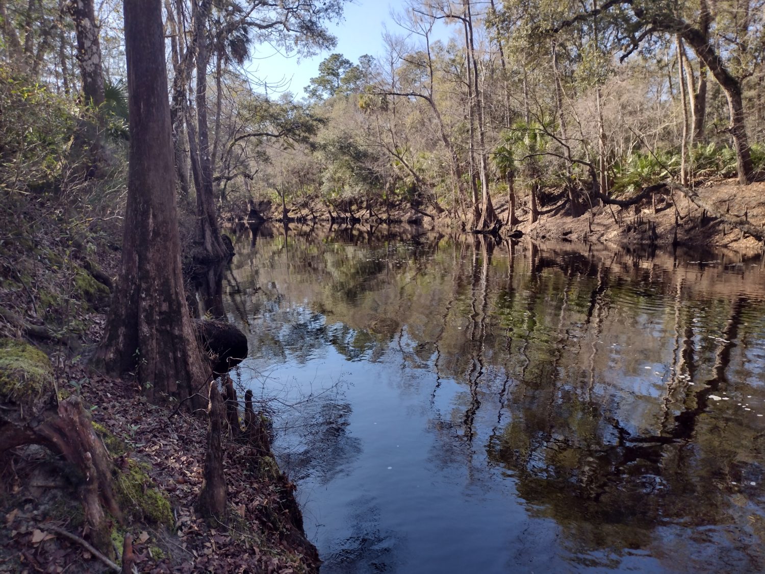
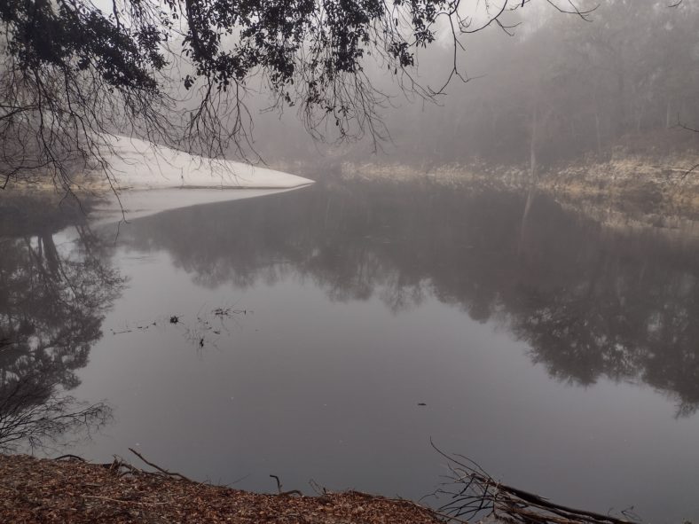
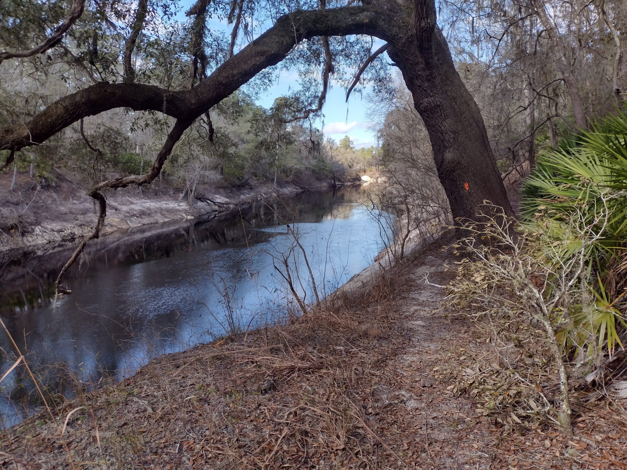
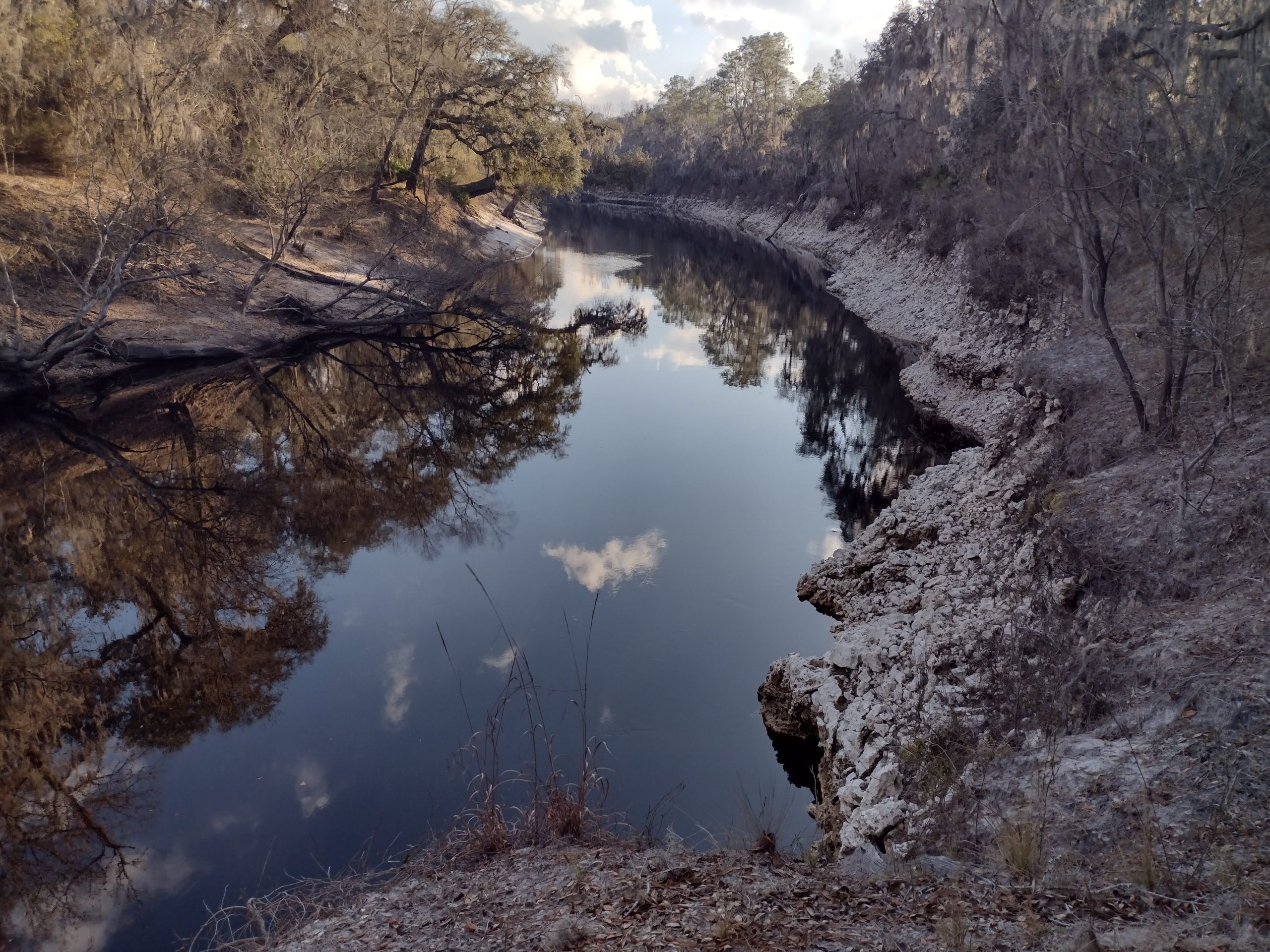
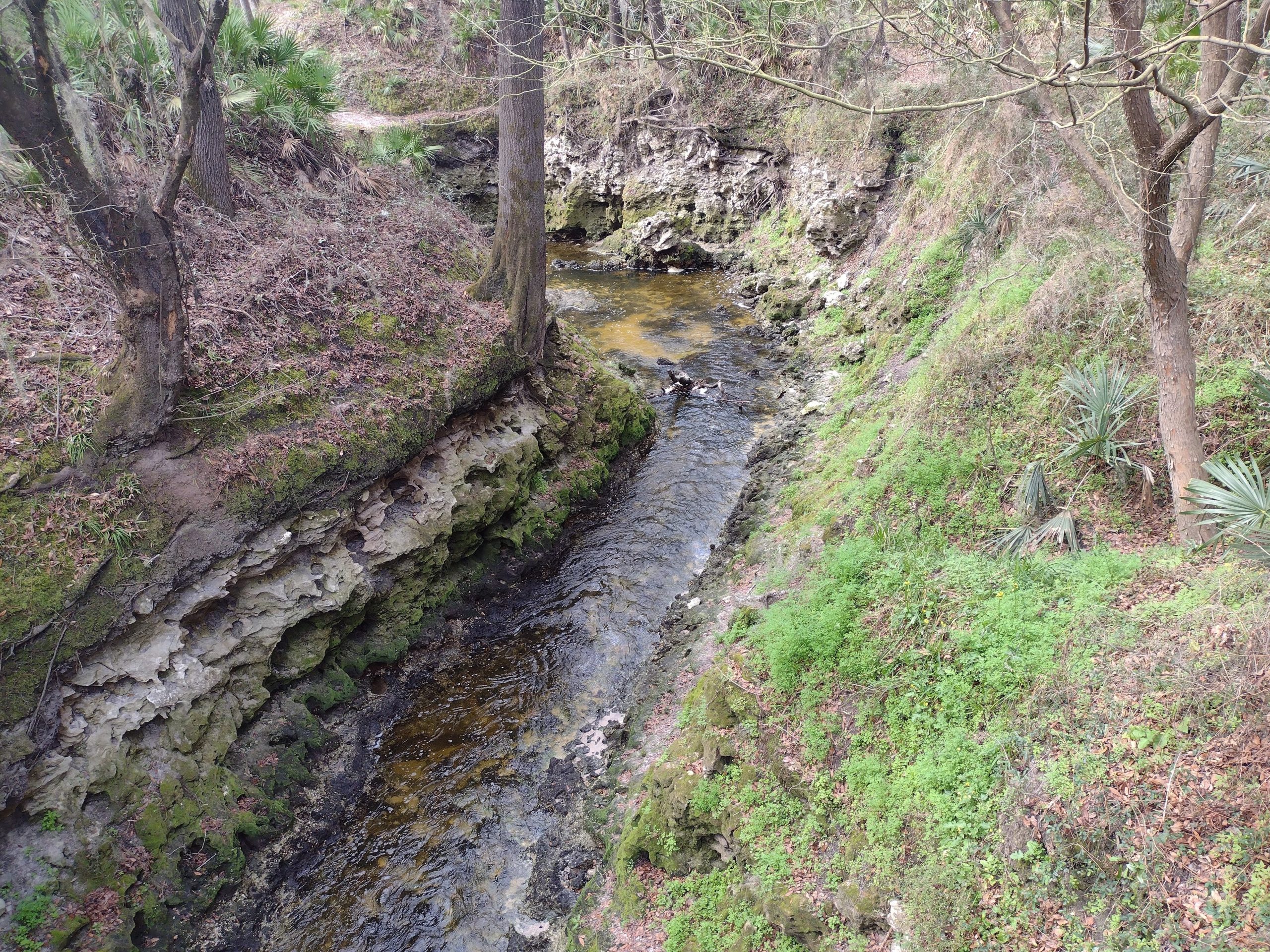
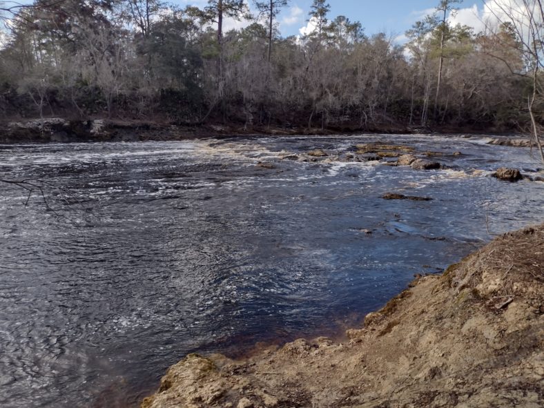
The Disappearing Aucilla River
The huge live oak limbs that I camped under last night kept my tent protected from dew. Only the very outer edge had any condensation probably all from my breath escaping out the bug netting edges.
I did not get up super early, since the store I will hit today is only a few hours away. I roll out just after 7 and there is plenty of light.
The first ten minutes of hiking I am always stiff and my Achilles tendons are sore. But after ten minutes of hobbling, they are warmed up and ready to go.
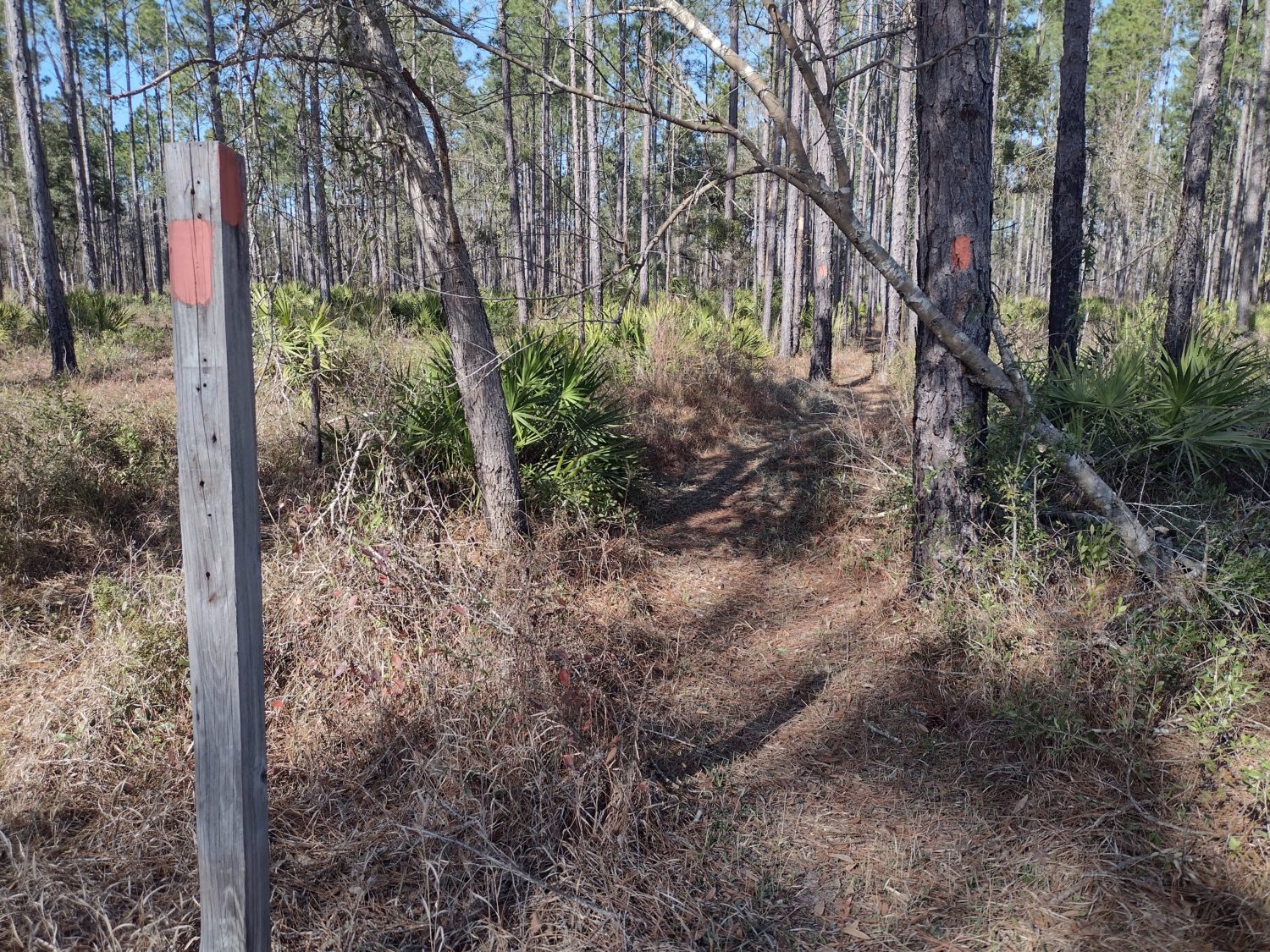
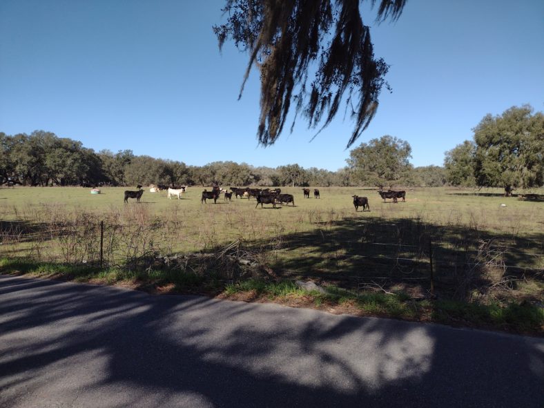
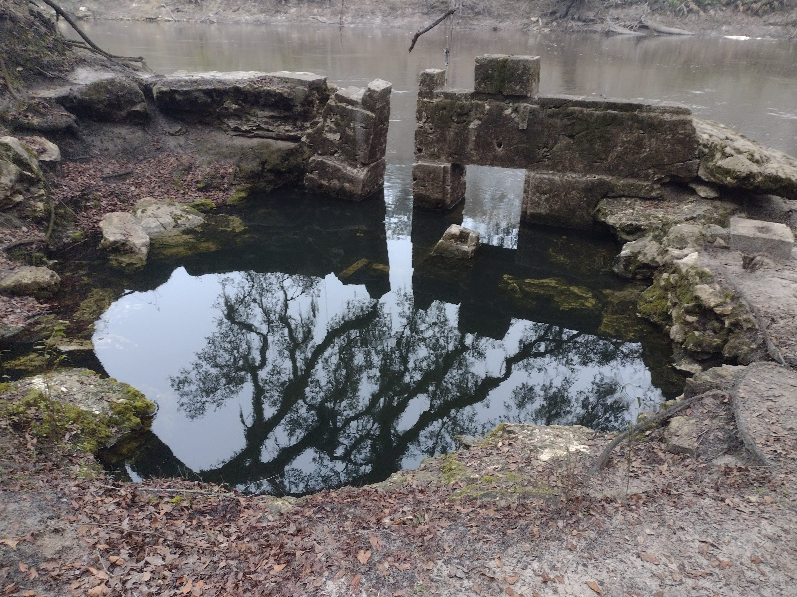
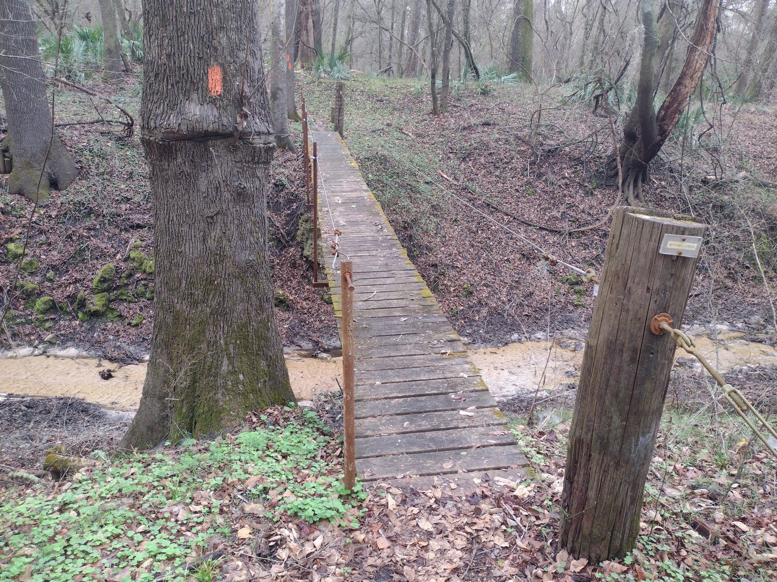
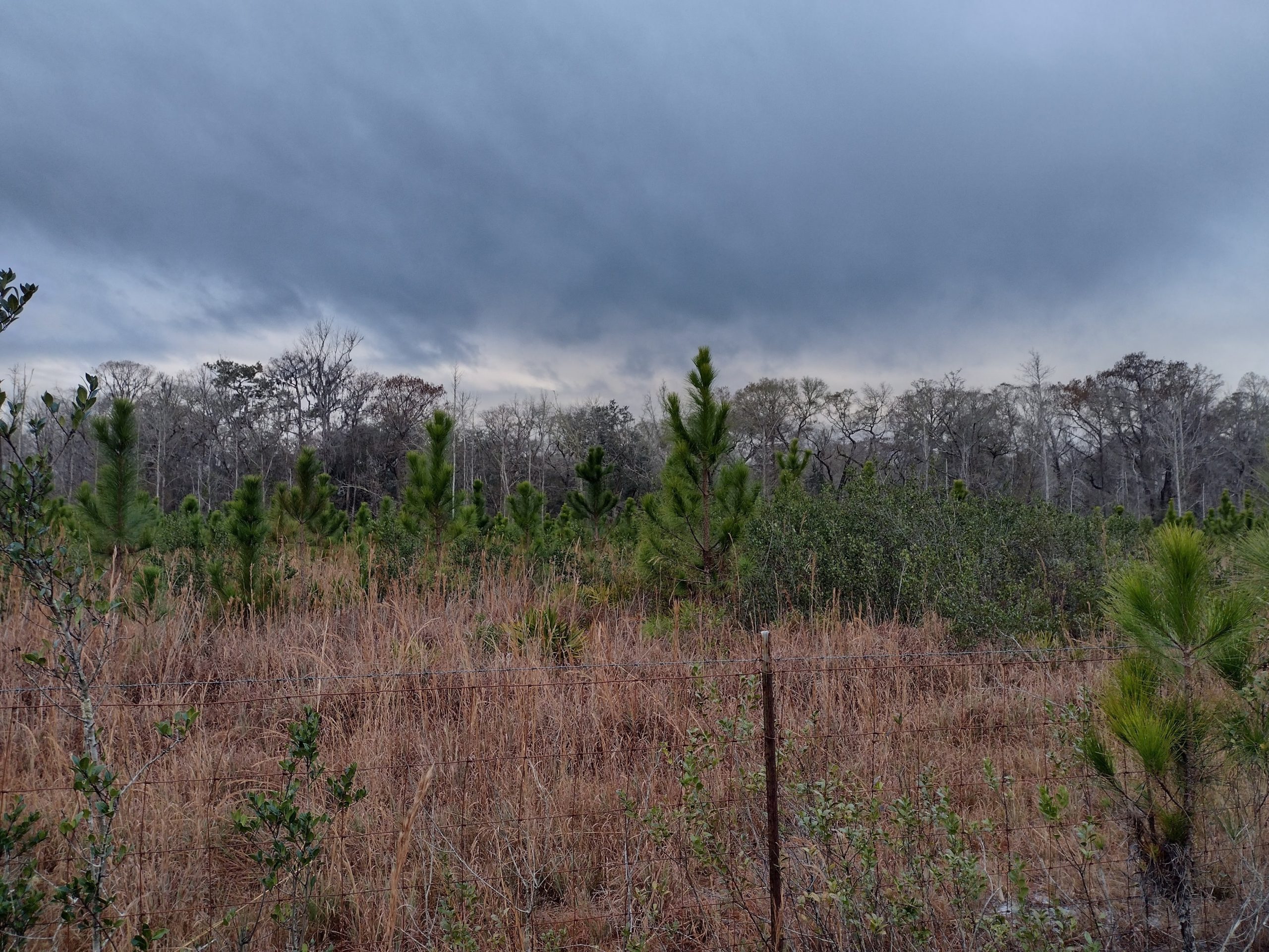
This entire area has many sink holes. Most of them have water in them, but some are dry. The Aucilla river eventually dead ends into one of them. And when a river dead ends into one, it means it is going underground.
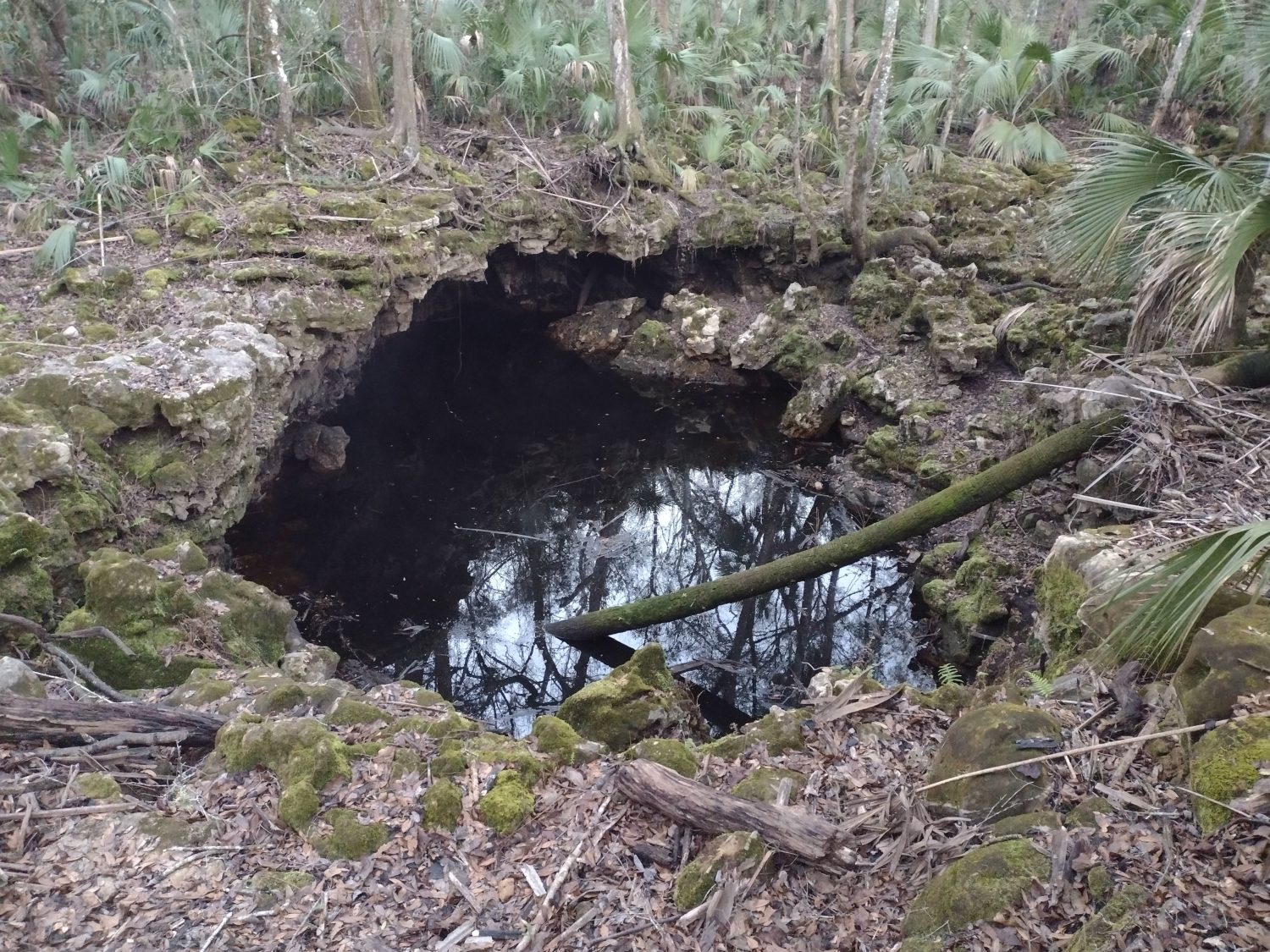
The trail this morning follows the pattern of sink holes and the river disappears, then reappears elsewhere. Some of them are just a window to the river below, but some have visible flow in them proving it is part of the river system.
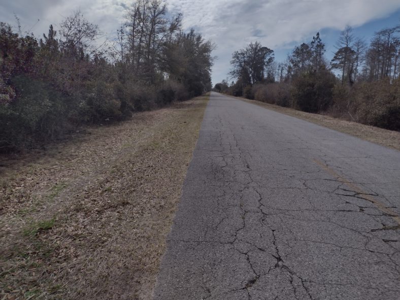
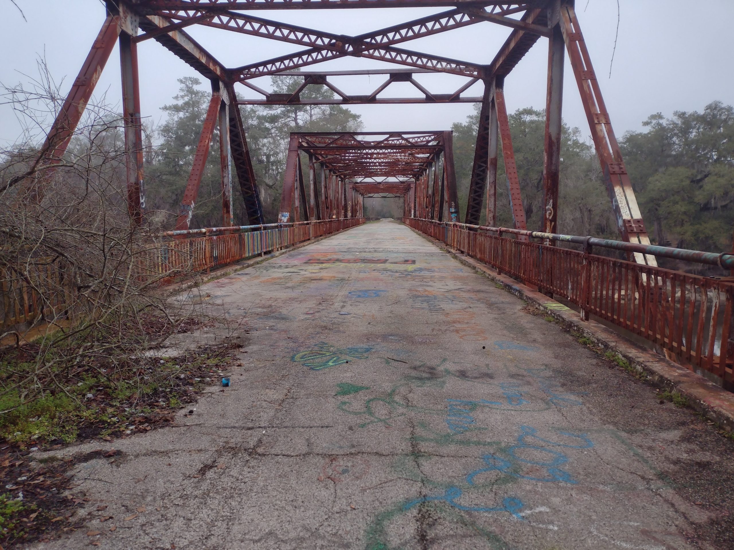
Back to Road Walking
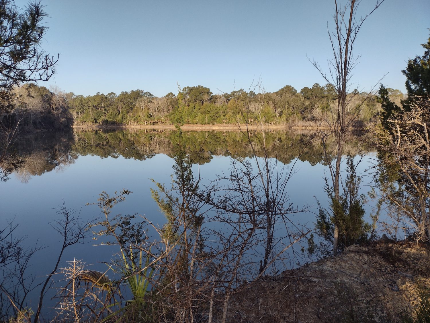
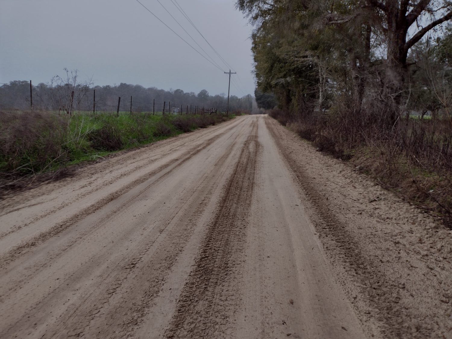
Eventually the trail turns into another forest road. There are quarry ponds that begin to show up, then an actual quarry, then houses.
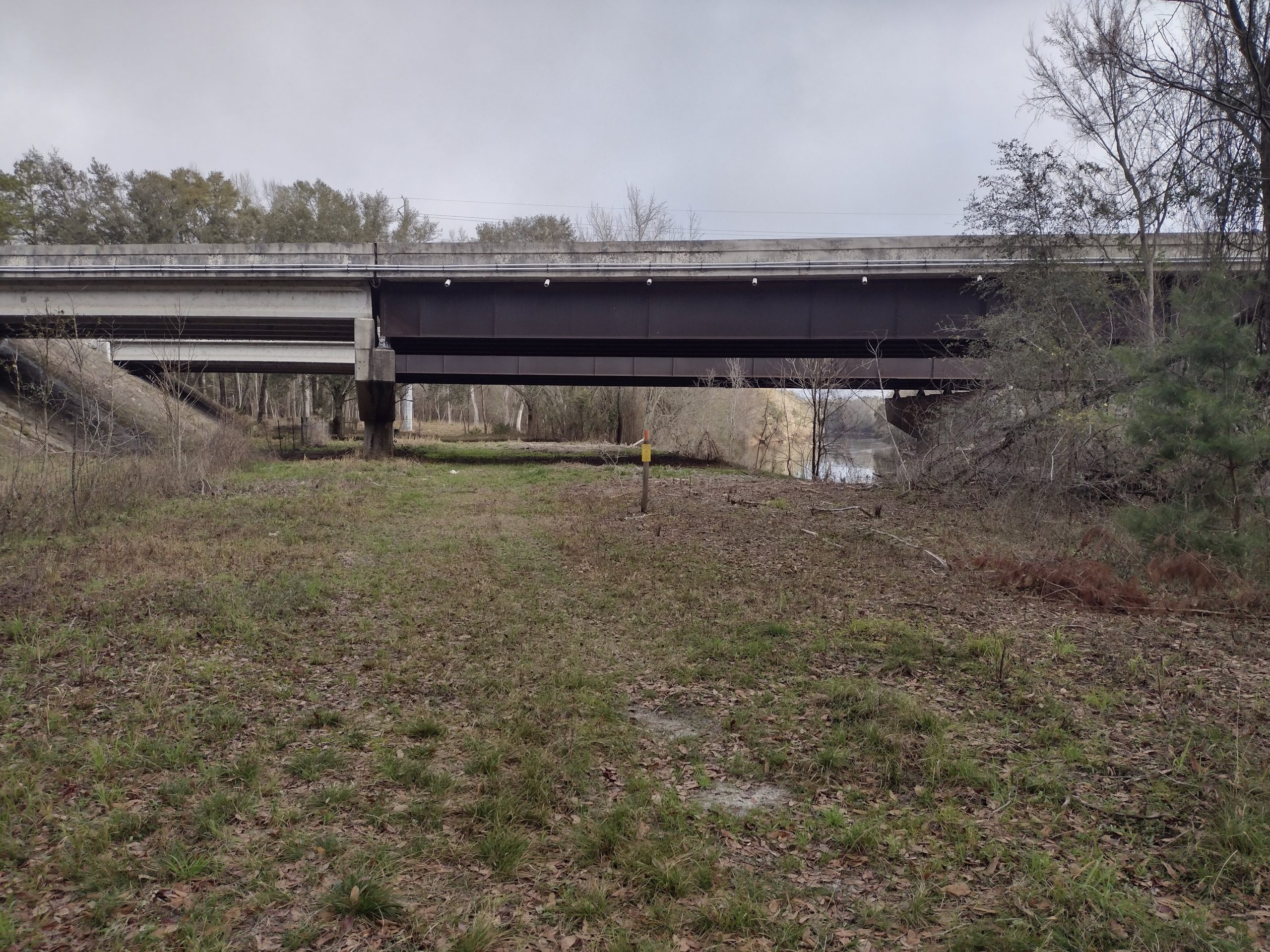
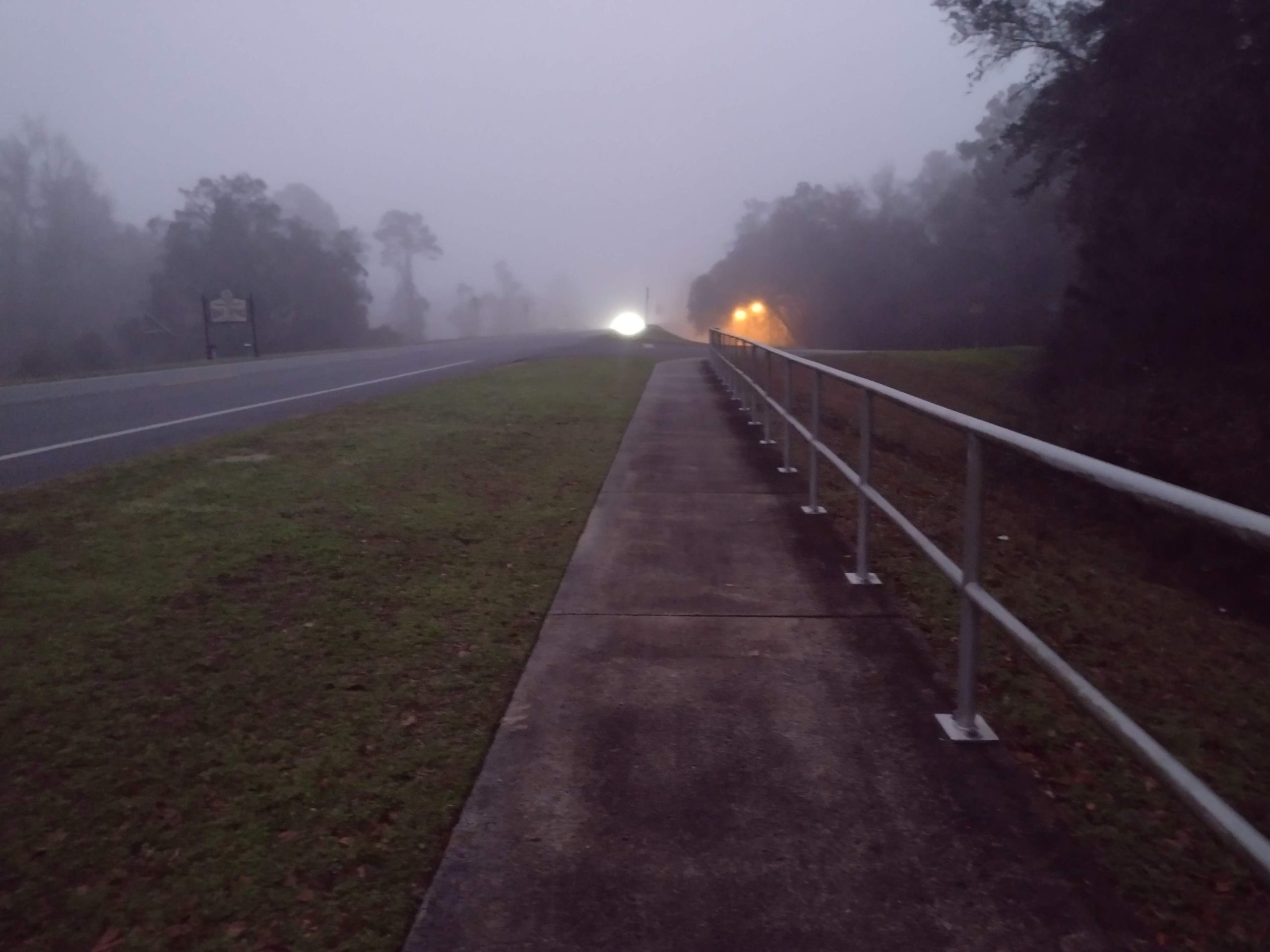
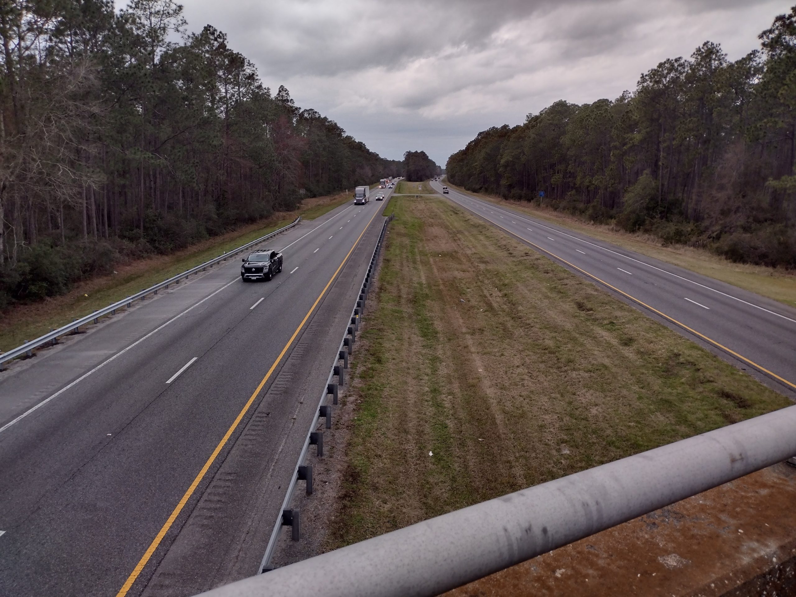
After a few miles we come to another highway. This is US 98 and does not have much automobile traffic on it, but it has a tremendous amount of truck and dump truck traffic on it. This is because there is another active quarry on this road and trucks are constantly pulling in or out of the quarry entrance.
The shoulder is nice in some places and steep in others. With all the truck traffic, there is not much walking on the road.
I have to walk on this road for two segments. The first is about 2 miles to get to the convenience store, and the second is about 3 miles to get to St Marks National Wildlife Refuge.
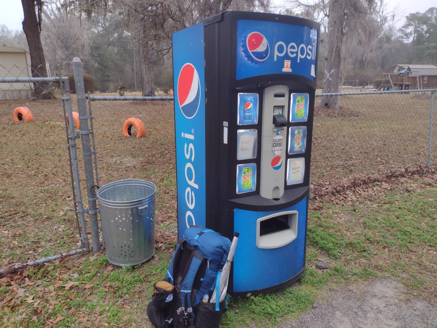
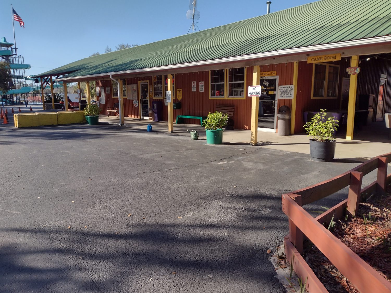
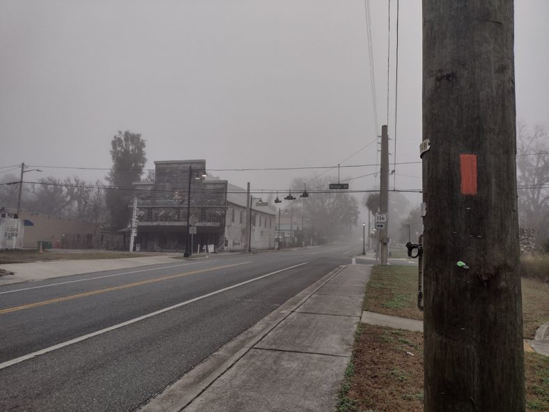
JR’s Aucilla River Store
The miles go by quickly when you have food on your mind. I get there about 9:45 and they are supposedly open for breakfast still, but no one is in the kitchen. The lunch menu starts at 11, so I will wait for that. As long as I leave by noon, I will have plenty of time to get to my campsite before dark.
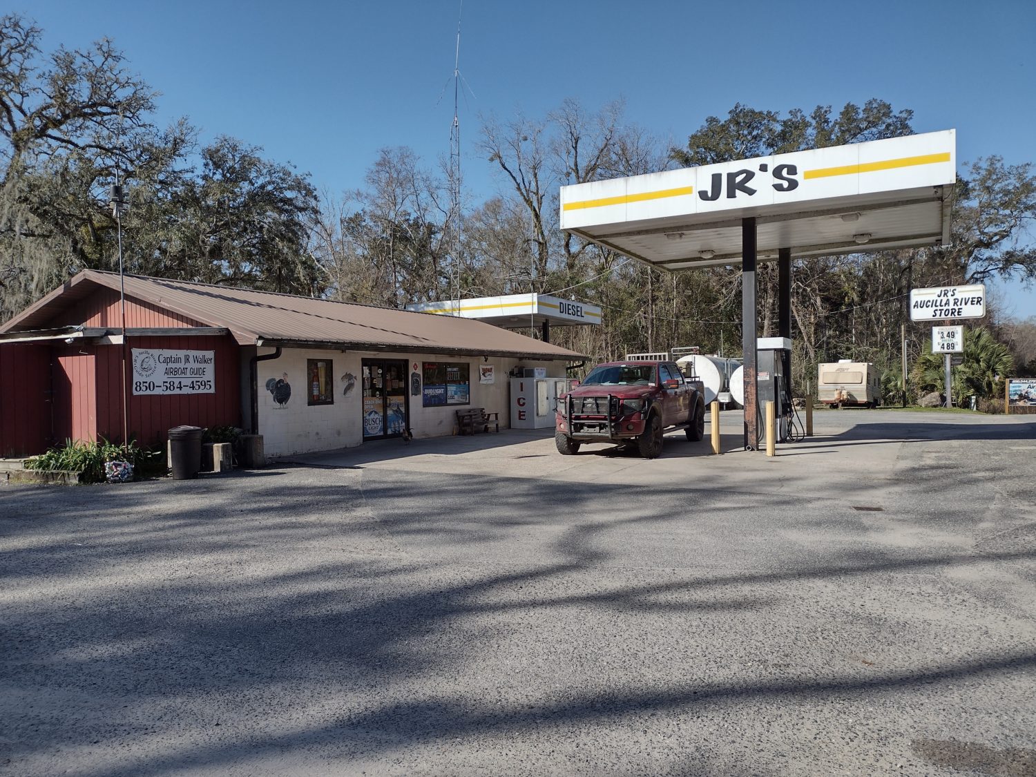
So back in the store, I buy mostly beverages and a can of spaghetti and meatballs. It is nice that they have a pull top can now. I just grabbed my spoon and ate it cold.
I decide to wait things out in the kitchen area since it is warmer in there and I can charge my phone. It is cold enough that I need to wear my jacket.
When 11 rolls by, there is still no one in the kitchen so I go back in the store and ask about the kitchen. The cashier has to manage both, so he goes out to round up his son to open the kitchen.
Thirty minutes later, I am eating a cheeseburger and fries. Yum. I grab an ice cream sandwich to go, and I am out of there at 11:45. I should have plenty of time.
The hike out of the store seems to have even more traffic than earlier in the day. I guess people are awake now.
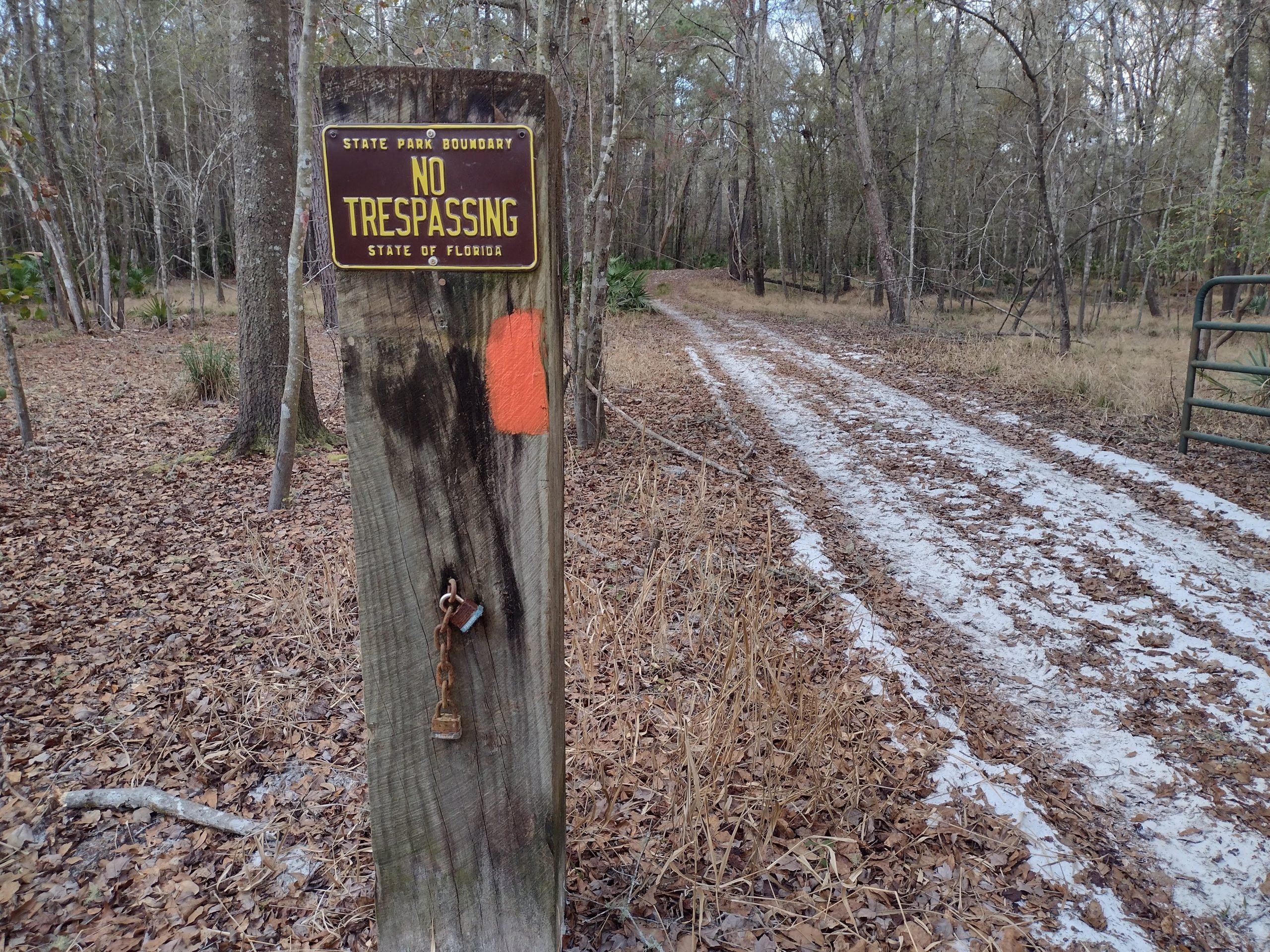
St Marks National Wildlife Refuge
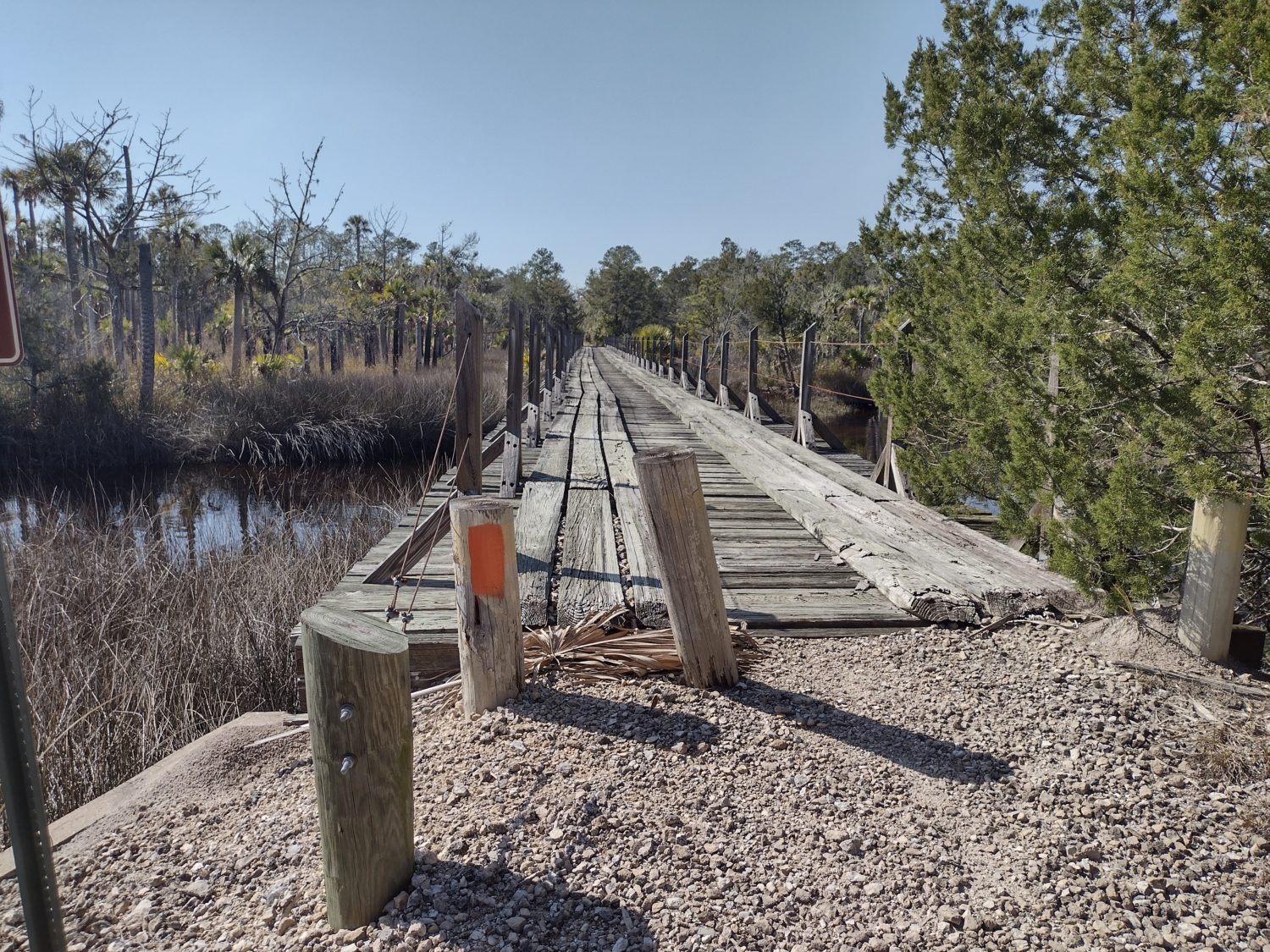
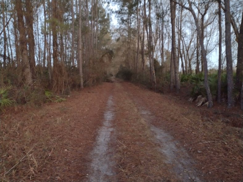
The road walk on the highway ends with another forest road walk onto the Refuge. There are many swampy areas that are hard to walk around, and my shoes get a little damp.
If this entire refuge is like this, then I might not make the campsite before dark.
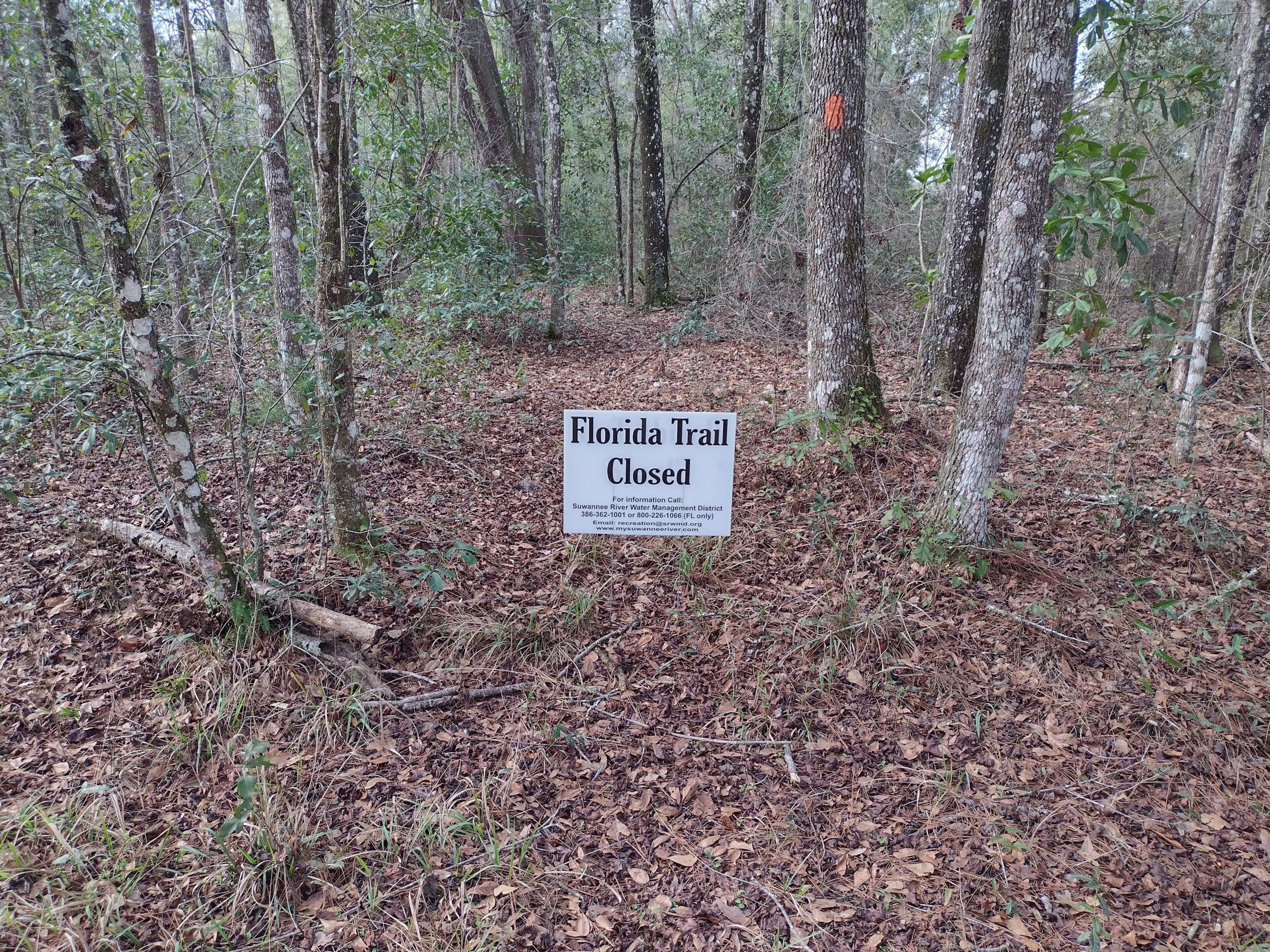
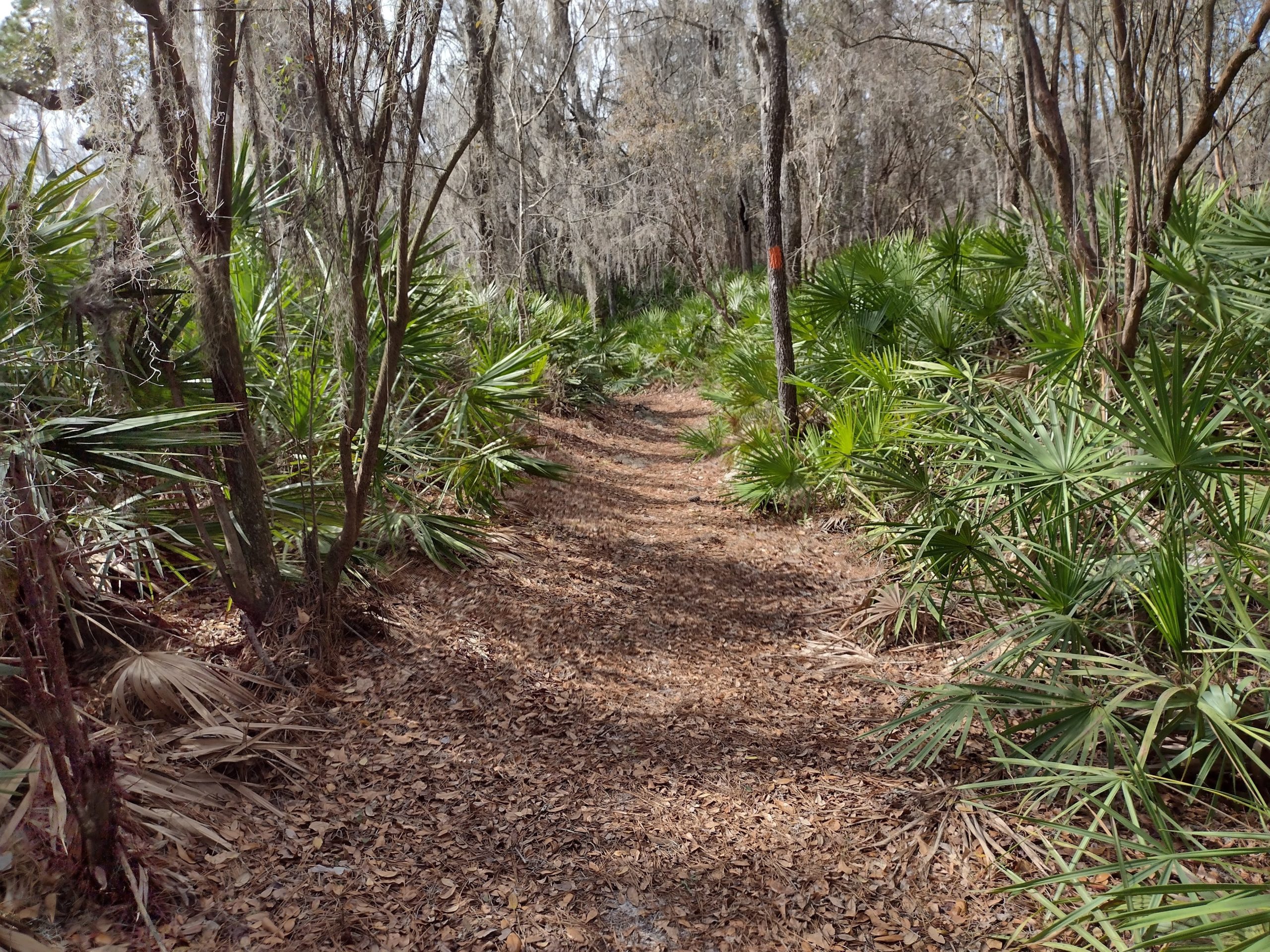
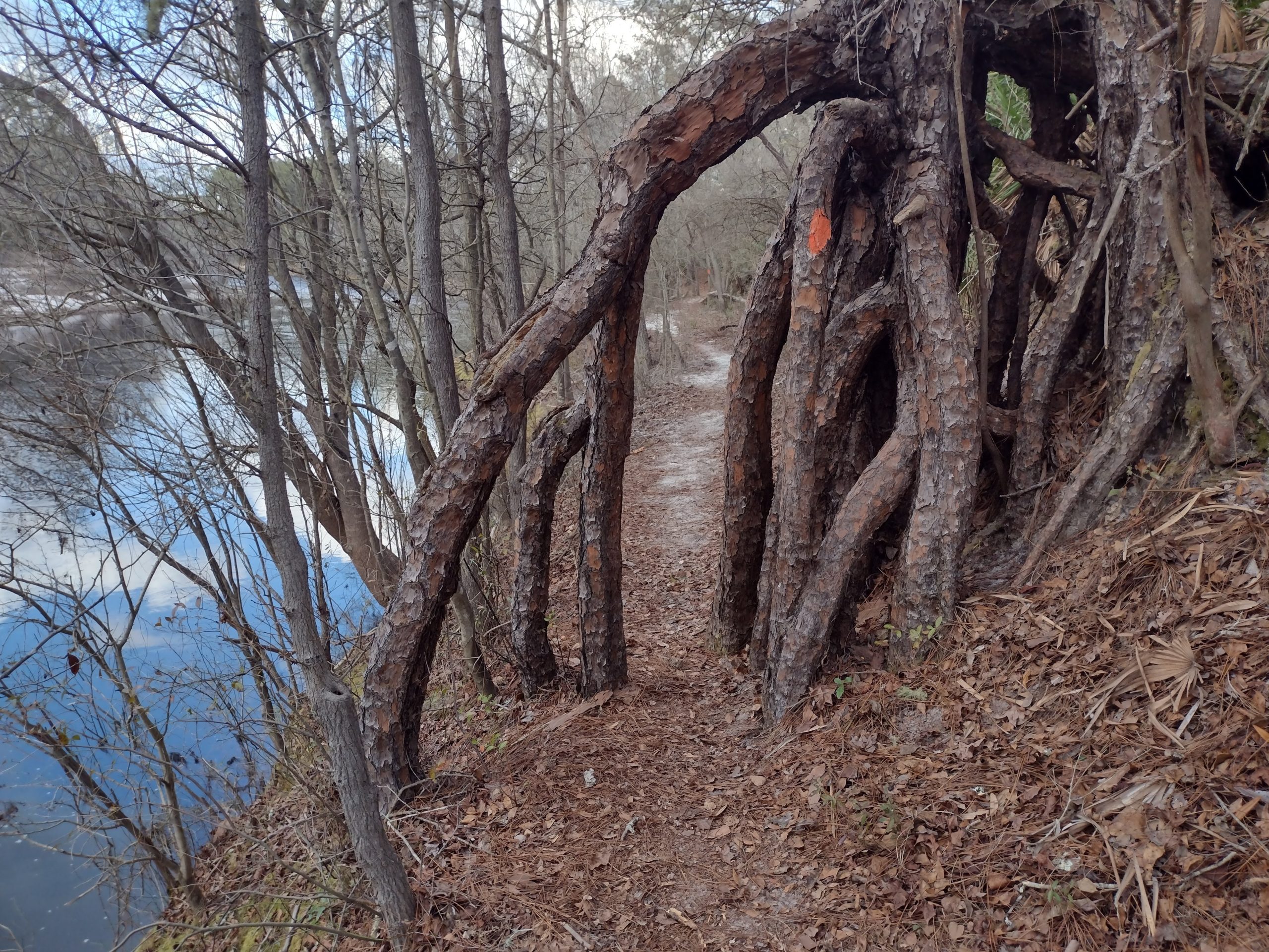
After a mile or so of mud, a sign appears saying the next 1.8 miles are primitive trail. Oh great, it gets worse?
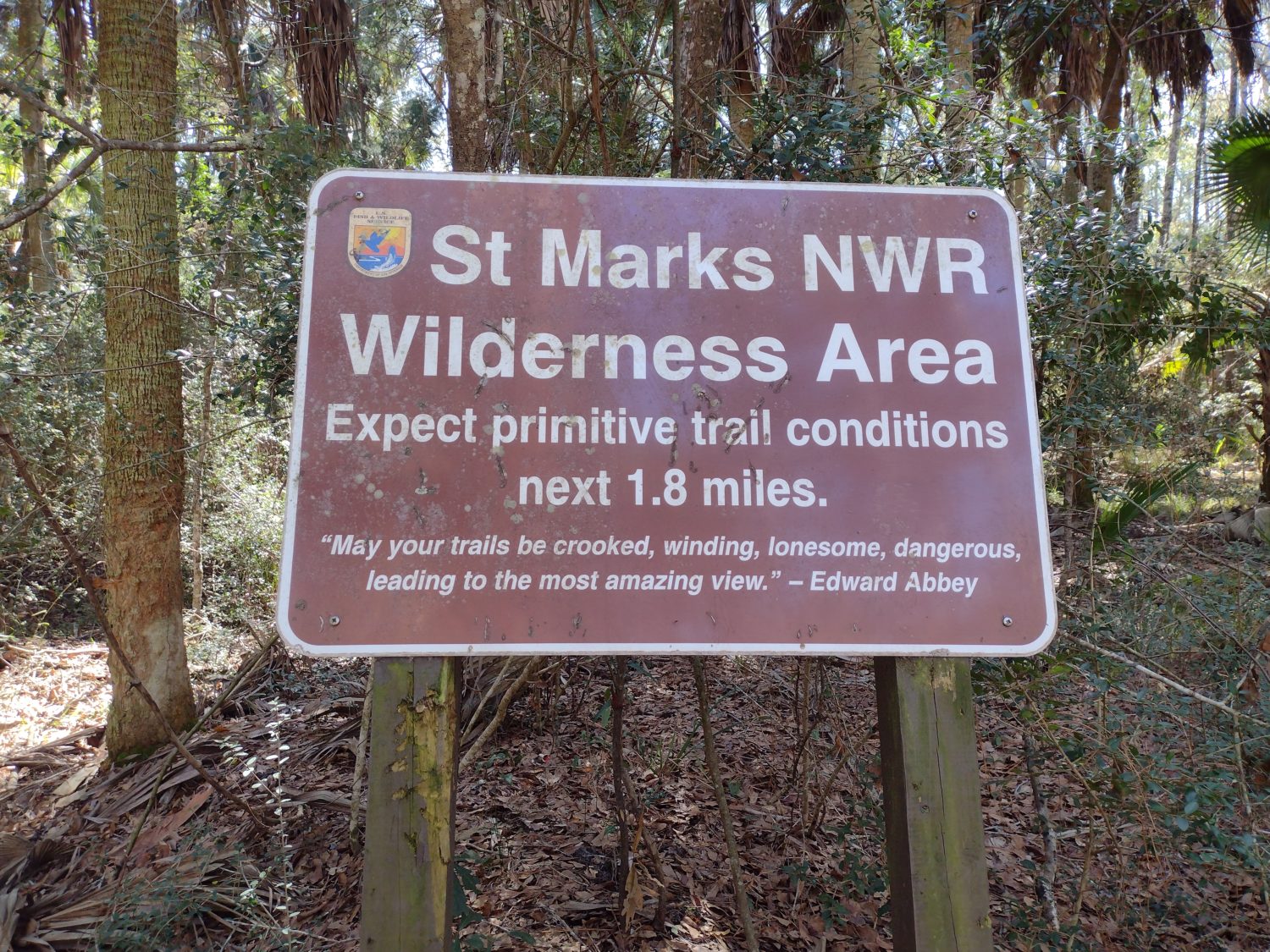
Luckily, after just a quarter mile of ungroomed trail, it goes up onto an elevated levee or tramway. The hiking gets much easier and it is basically like walking on forest roads again.
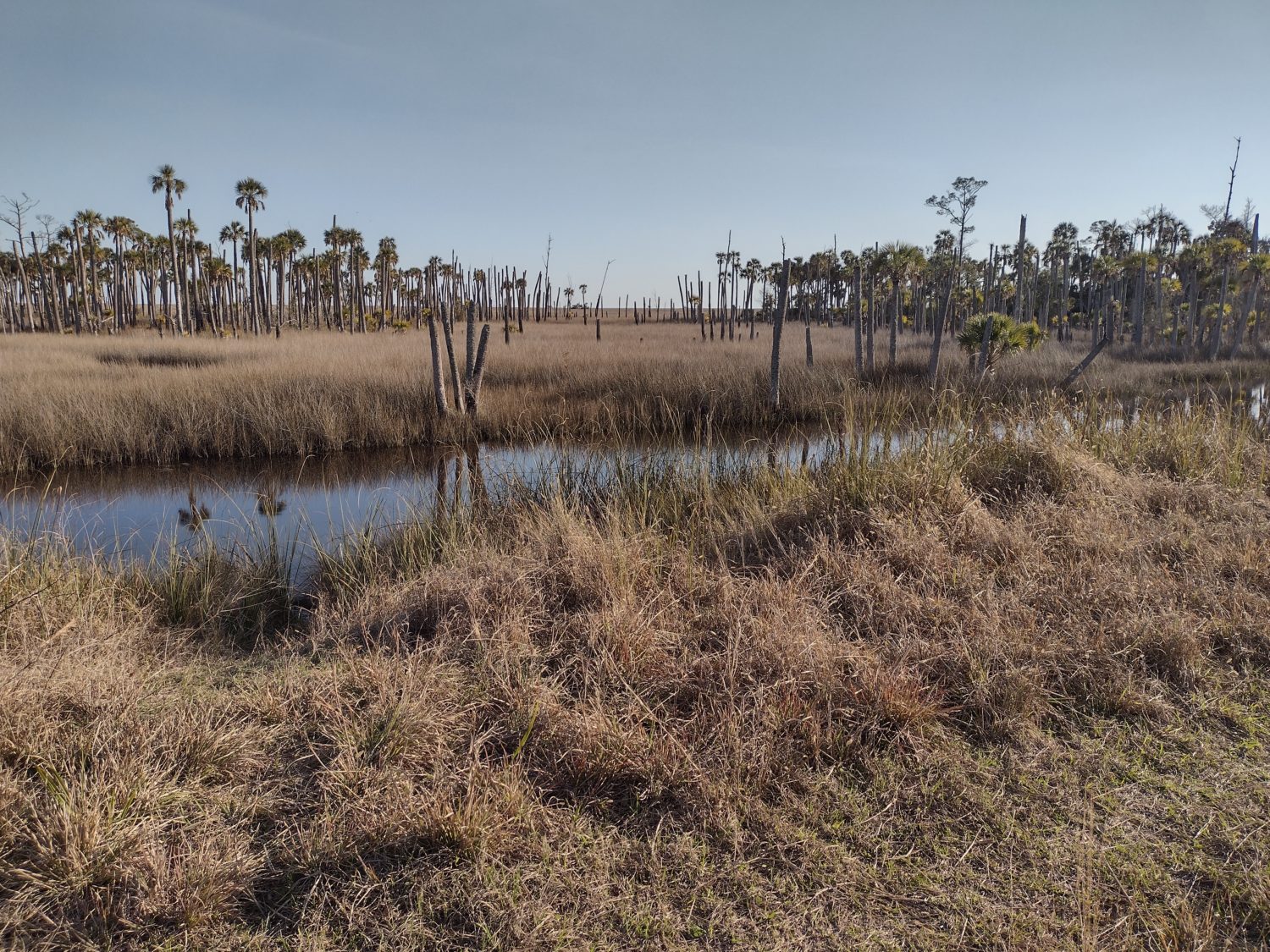
The dense woods begin to thin, and the canals aside the levee begin to widen. I begin seeing animals off in the distance. First a raccoon, then later a wild pig. I don’t think either of them knew I was even there.
Plans for Tomorrow
Just about two miles from the campsite, the woods finally give way to grass estuaries and miles of nothing but grass. It is awesome.
I come across a biker who stops and asks if I am a thru hiker. I tell him I am.
It turns out he thru hiked it last year and is back this year making up sections he missed or were closed. I tell him about my plan to swim the river tomorrow and he tells me he has a better idea.
He has a kayak and a paddle board, and will meet me at the river crossing tomorrow and let me paddle board across. I like that idea better since it will not matter if the water is cold or if the tide is low. And I won’t have to waterproof my pack.
It will simplify so many things and still be more fun than calling or flagging down a boat.
We exchanged numbers and will plan to be at the river between 10:30 and 11:00. Now I don’t need to worry about the post office closing at 1pm, either.
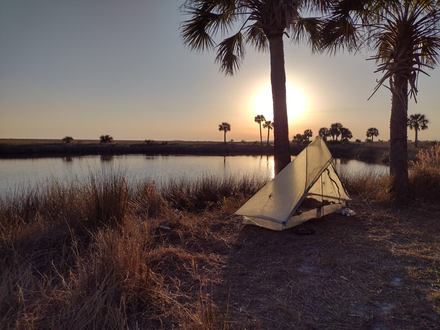
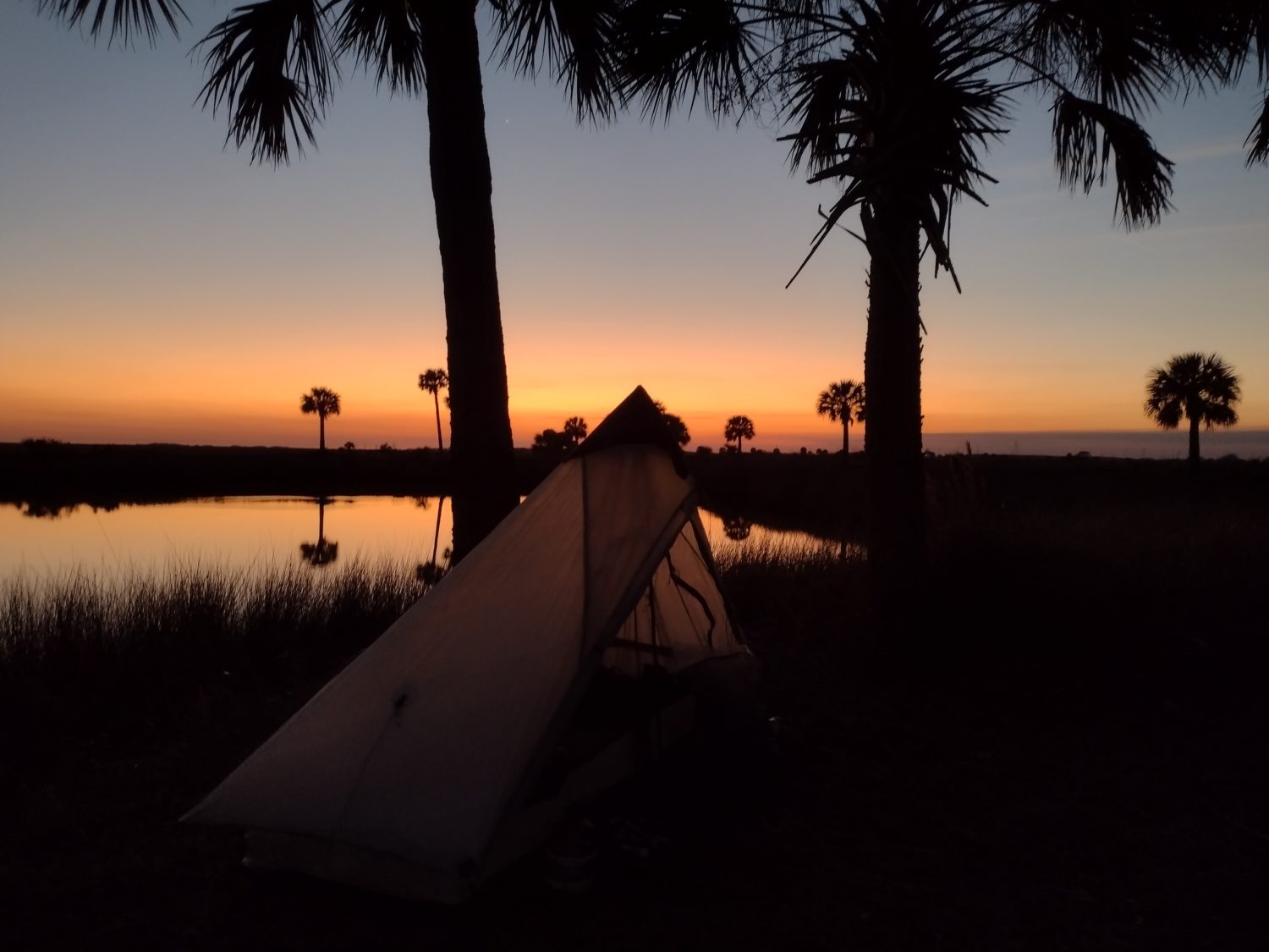
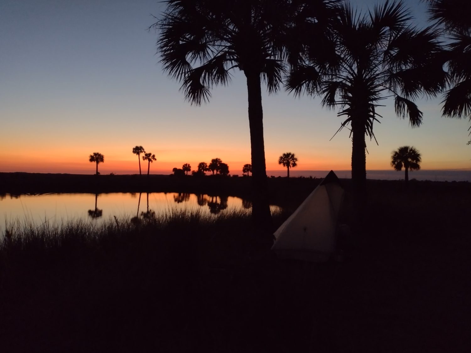
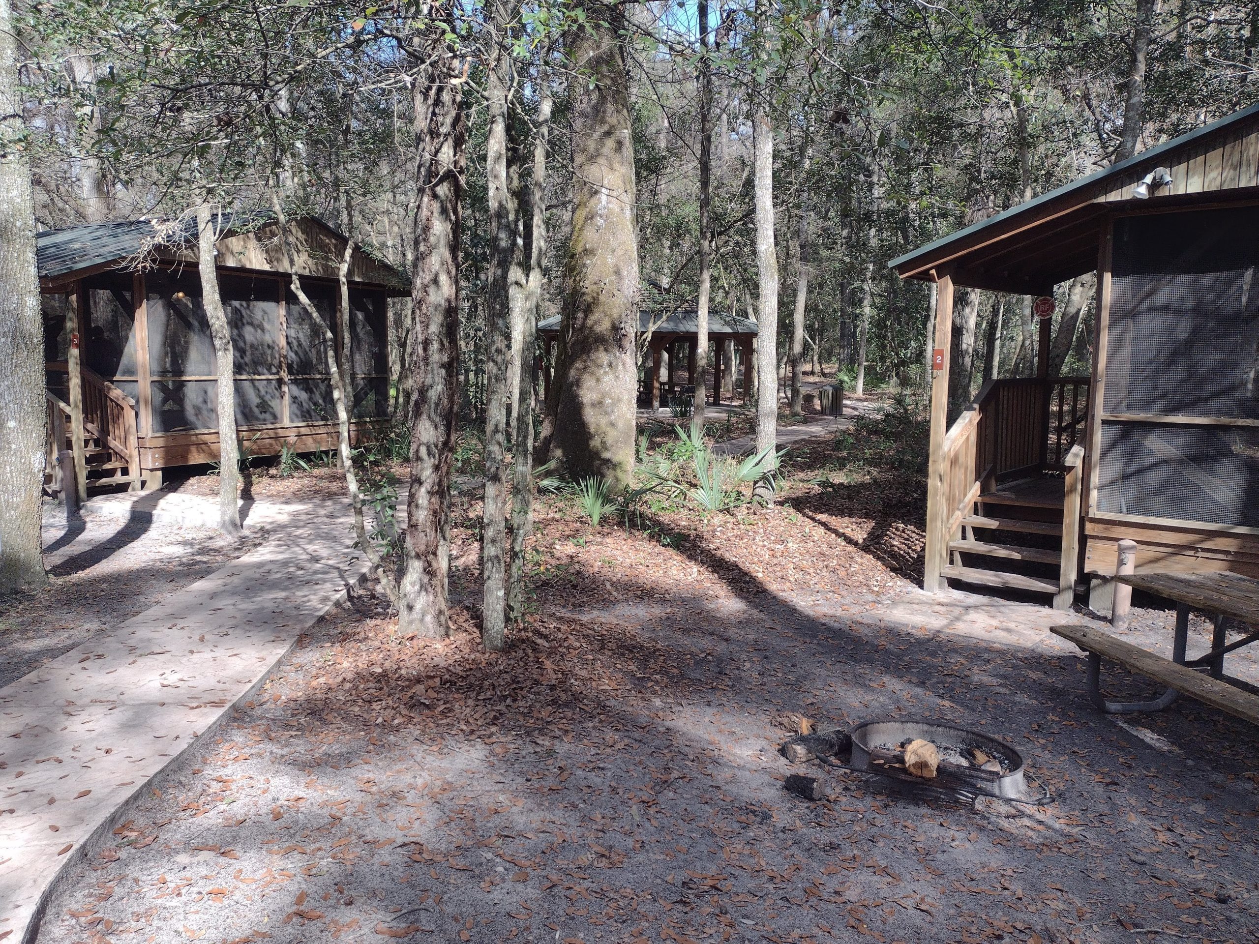
Camping by the Grasslands
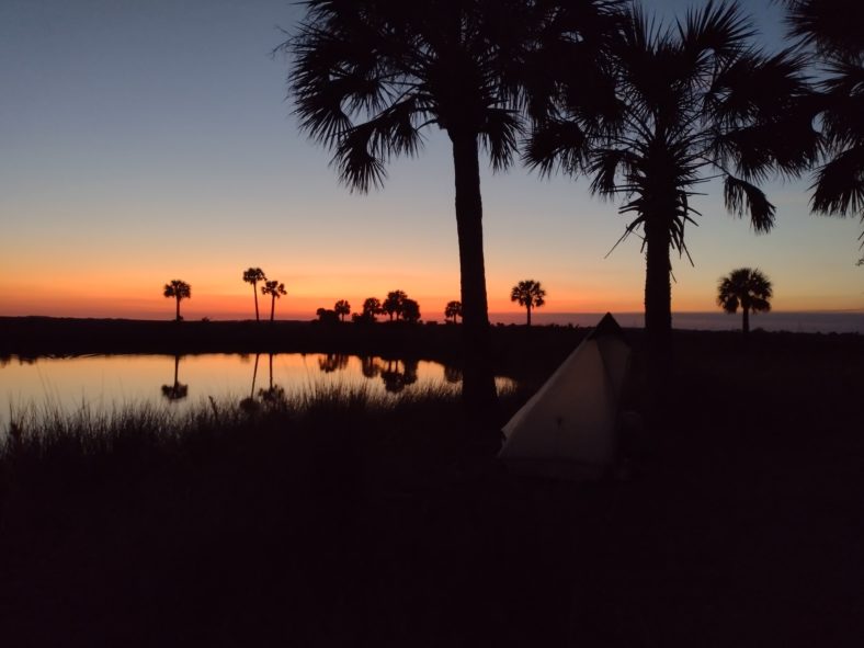
The campsite for the night is a paddlers campsite. The dike goes out on a loop away from the main dike and has flat spots and shade trees. I set up the tent quickly because the no-see-ums are pretty bad. It is only 5:30 and they will only get worse.
As soon as the tent is up, I cook dinner and let it sit to rehydrate. I go to the water and see how salty it is. I guess it’s about half the salt content or normal ocean water. It is good enough to wash my feet with, but not the face. I use fresh water for that.
The sun is beginning to set, so I set up both cameras on time lapse mode to grab video of the sunset. Between the two, one of them should come out ok.
Just as I get them set up, two more hikers roll in. It is the couple I met just before Oviedo several hundred miles ago. They ran into Chuckles yesterday, so he should be close behind. I suspect I will see him in town tomorrow.
Emotion of the Day
It needs a few words, but relaxed happiness is what I will choose today.
I got a late start this morning, listened to some music, had a nice hike along the Aucilla river and sinks.
The road walk was not bad because it was cut in half by the store.
I was at the store for two hours, but was able to fully charge my phone while waiting. Other than being a little bored and wondering if they were even open today, it was relaxed.
When the trail got muddy, I began to get worried, but it quickly turned into a very nice trail again.
Hatching a plan for crossing the river tomorrow morning has put me at ease now.
And an awesome sunset to top it all off with.
Yep, today was a picture perfect hiking day. Let’s hope tomorrow is a picture perfect afternoon in town.

Recent Comments